


Oiau (Dawson Strait Group) Volcano
Updated: Nov 3, 2025 23:31 GMT -
pyroclastic cone
Papua New Guinea, -9.69°S / 150.86°E 
Summit height: 400 m / 1,1312 ft
Current status: normal or dormant (1 out of 5)
Oiau is one of 3 volcanic centers of the Dawson Strait volcanic group. It is located on the SE end of Fergusson island, on the peninsula between Kedidia Bay and Numanuma Bay. The volcano consists of a composite cone with a summit crater and has produced an obsidian lava flow of possible Holocene age.
[smaller] [larger]
Oiau (Dawson Strait Group) volcano eruptions: unknown
Latest nearby earthquakes
| Date and Time | Mag / Depth | Distance / Location | |||
|---|---|---|---|---|---|
Background
Dawson Strait Group volcanoThe Dawson Straits, located between eastern Fergusson and western Normanby Islands in the D'Entrecasteaux island group, contains a volcanic field with several volcanic centers that define a possible partly submerged caldera.
There have been no historical eruptions from this center, but morphology suggests an extremely young age for some lava flows, and the area displays vigorous thermal activity. The most prominent volcanic centers are Mounts Lamonai and Oiau, located about 10 km apart on the SW tip of Fergusson Island.
Significant volcanic eruptions: Oiau (Dawson Strait Group) volcano
No historic eruptions are known from Oiau (Dawson Strait Group) volcano, but at least one eruption in 1350 AD can be inferred from geological evidence.
The table below lists all known eruptions (date in bold face) of Oiau (Dawson Strait Group) volcano in historic times and during the past 10,000 years. Updates on the most recent volcanic activity of Oiau (Dawson Strait Group) can be found on the news page of Oiau (Dawson Strait Group) volcano.
| Date | Note | VEI | Deaths | Damage | |
|---|---|---|---|---|---|
| Oiau | ? | ||||
Remark:
Our list of volcanic eruptions closely follows the database of eruptions of the Smithsonian's Global Volcanism Project (GVP), the internationally most recognized data source for volcanic eruptions, but also includes significant eruptive episodes or related volcano events. "Volcanic eruptions" are usually to be understood as sequences of individual eruptive episodes that can follow each other, or even overlap (if several vents are involved), and can last many years, decades or even longer. For example, the current activity of Stromboli volcano is understood as a single eruption that has been ongoing since 1934.
Sources: NOAA National Centers for Environmental Information (NCEI), Global Significant Volcanic Eruptions Database. doi:10.7289/V5TD9V7K | Global Volcanism Project / Smithsonian Institution
Oiau (Dawson Strait Group) Volcano FAQ
+When was the last eruption of Oiau (Dawson Strait Group) volcano?
The last confirmed eruption of Oiau (Dawson Strait Group) occurred in 1350 AD.
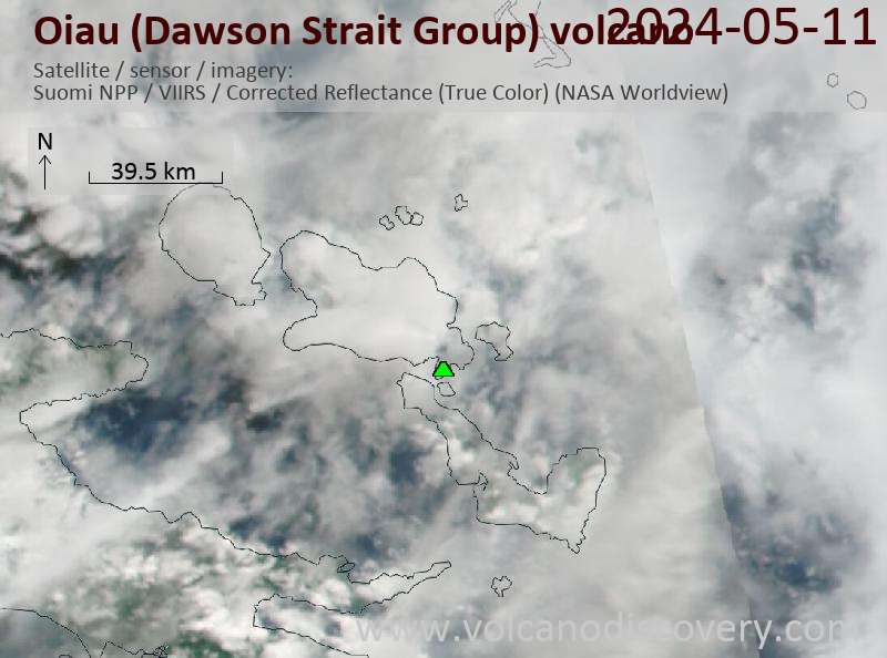
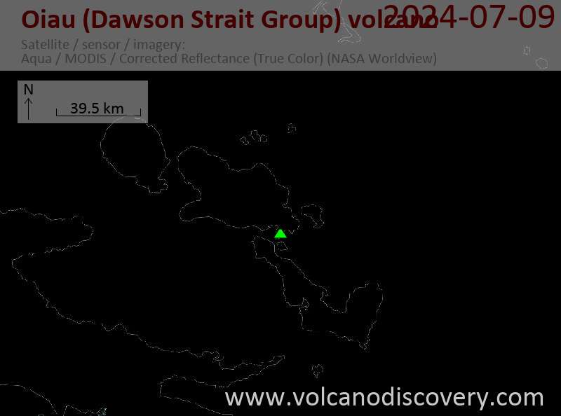
Latest satellite images
Oiau (Dawson Strait Group) Volcano Maps
Below is a selection of maps showing the location and surroundings of the volcano at various resolutions based on aerial-imagery / terrain maps. Feel free to use them for non-commercial purposes on your blog or website as long as you credit them with a link back to this page (click to copy it).

Satellite/aerial-type map of Oiau (Dawson Strait Group) volcano (world scale)

Terrain-type map of Oiau (Dawson Strait Group) volcano (world scale)

Satellite/aerial-type map of Oiau (Dawson Strait Group) volcano (region scale large)

Terrain-type map of Oiau (Dawson Strait Group) volcano (region scale large)

Satellite/aerial-type map of Oiau (Dawson Strait Group) volcano (region scale medium)

Terrain-type map of Oiau (Dawson Strait Group) volcano (region scale medium)

Satellite/aerial-type map of Oiau (Dawson Strait Group) volcano (region scale small)

Terrain-type map of Oiau (Dawson Strait Group) volcano (region scale small)

Satellite/aerial-type map of Oiau (Dawson Strait Group) volcano (local scale large)

Terrain-type map of Oiau (Dawson Strait Group) volcano (local scale large)

Satellite/aerial-type map of Oiau (Dawson Strait Group) volcano (local scale medium)

Terrain-type map of Oiau (Dawson Strait Group) volcano (local scale medium)

Satellite/aerial-type map of Oiau (Dawson Strait Group) volcano (local scale small)

Terrain-type map of Oiau (Dawson Strait Group) volcano (local scale small)

Satellite/aerial-type map of Oiau (Dawson Strait Group) volcano (scale of 10s of km)

Terrain-type map of Oiau (Dawson Strait Group) volcano (scale of 10s of km)

Satellite/aerial-type map of Oiau (Dawson Strait Group) volcano (scale of 20-40 km)

Terrain-type map of Oiau (Dawson Strait Group) volcano (scale of 20-40 km)

Satellite/aerial-type map of Oiau (Dawson Strait Group) volcano (scale of approx. 10-20 km)

Terrain-type map of Oiau (Dawson Strait Group) volcano (scale of approx. 10-20 km)

Satellite/aerial-type map of Oiau (Dawson Strait Group) volcano (scale of 5-10 km)

Satellite/aerial-type map of Oiau (Dawson Strait Group) volcano (scale of few kilometers)


