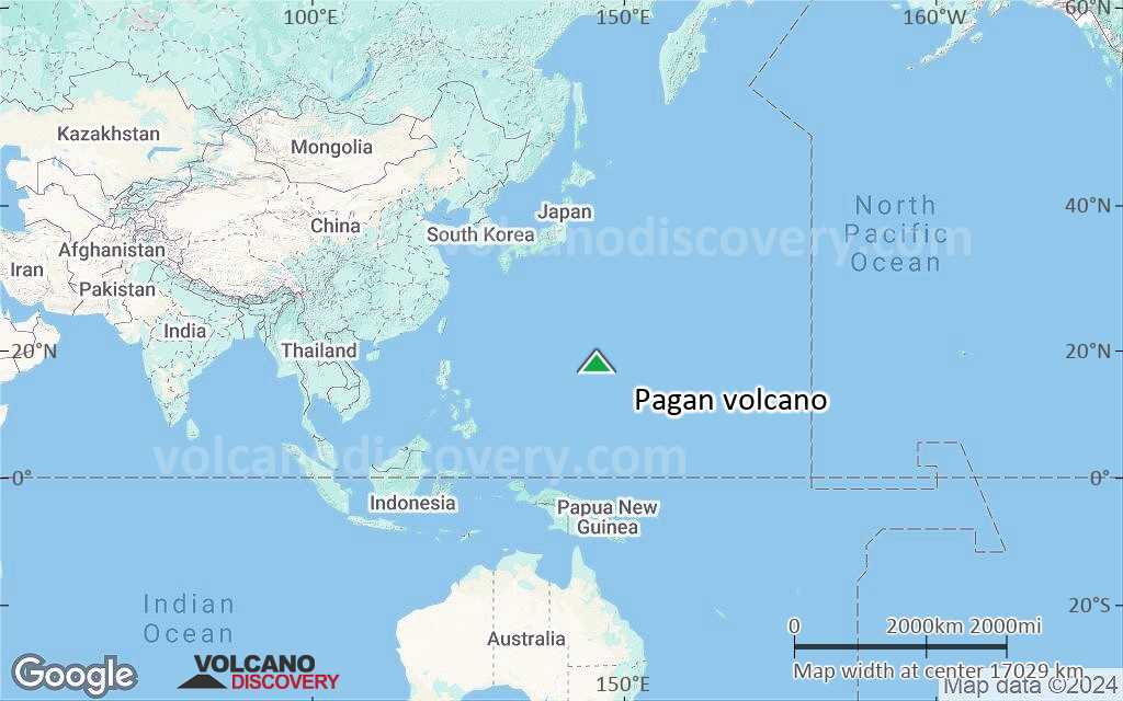
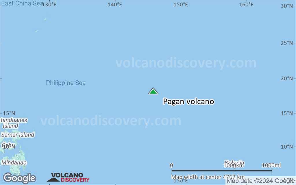
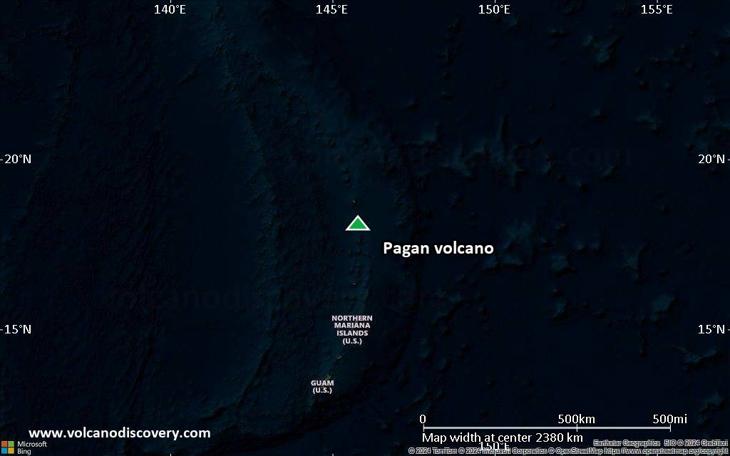
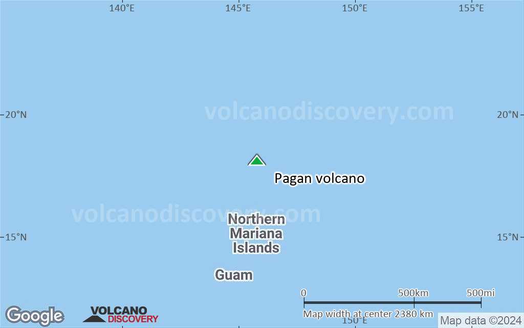
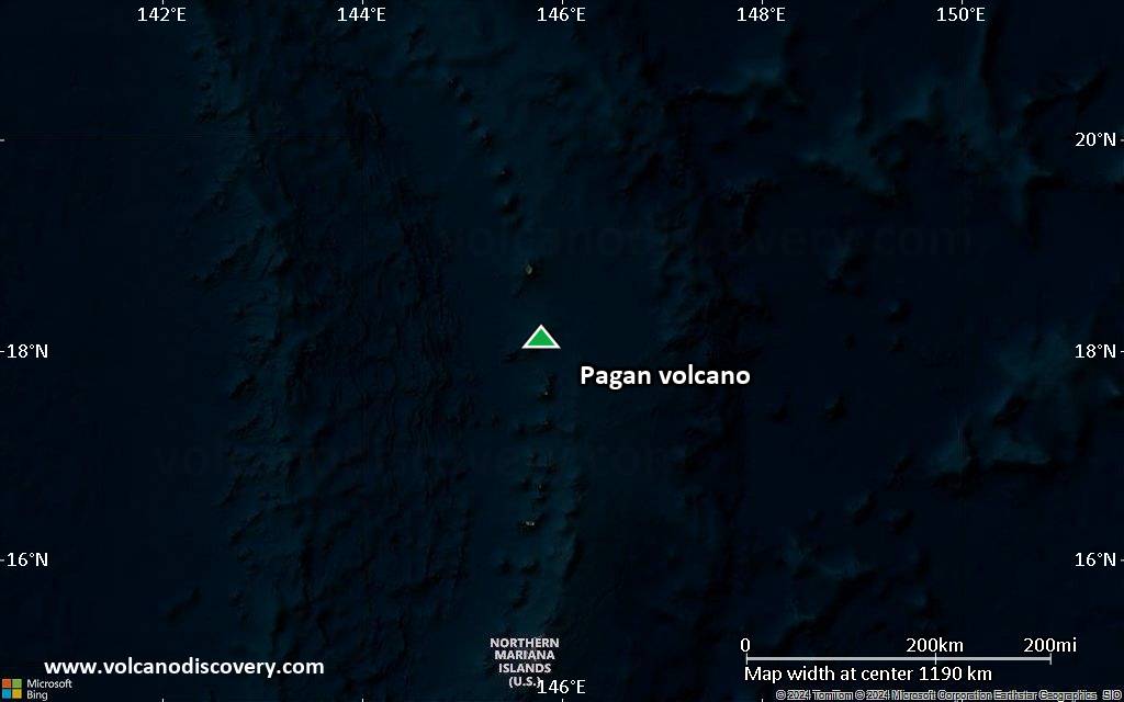
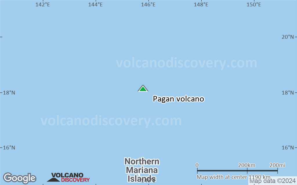
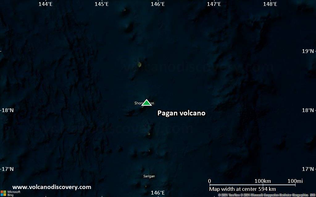
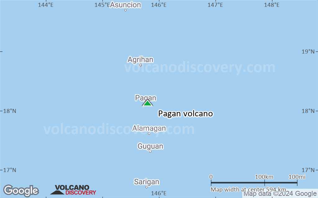
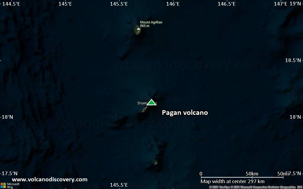
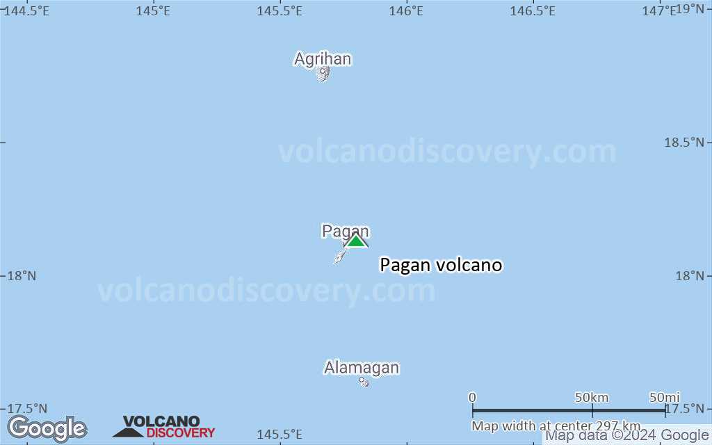
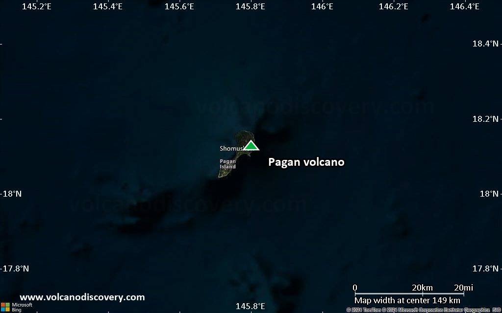
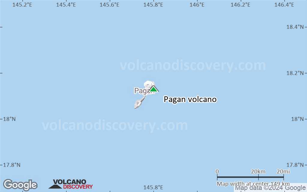
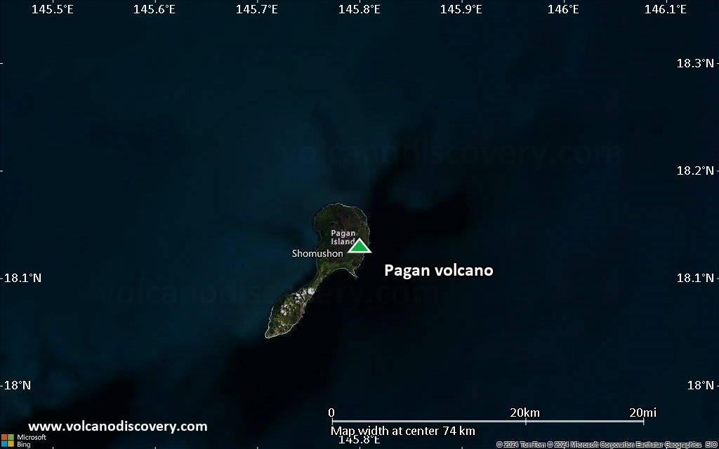
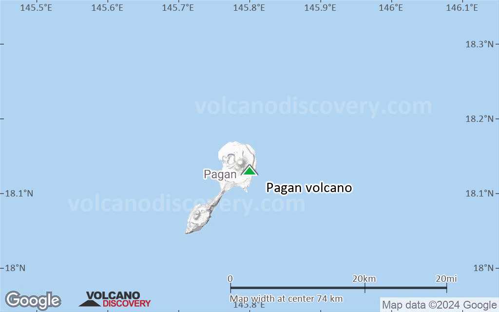
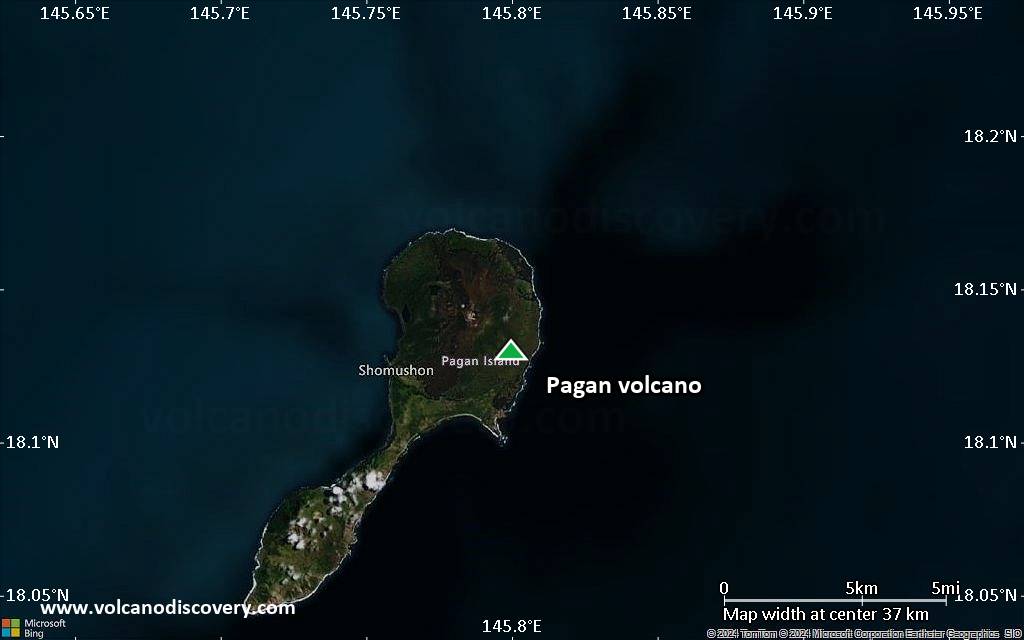
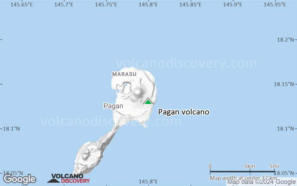
| RSS | EN | DE | EL | ES | FR | IT | RU

Pagan Volcano

Updated: Jun 7, 2025 05:25 GMT -
stratovolcanoes
Mariana Islands, 18.13°N / 145.8°E
Summit height: 570 m / 1,870 ft
Current status: normal or dormant (1 out of 5)
Last update: 8 Jun 2022 (Smithsonian / USGS Weekly Volcanic Activity Report)

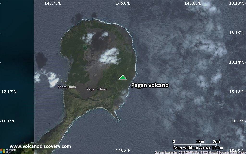
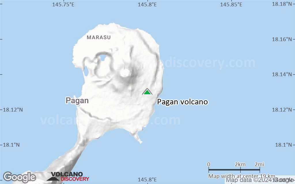
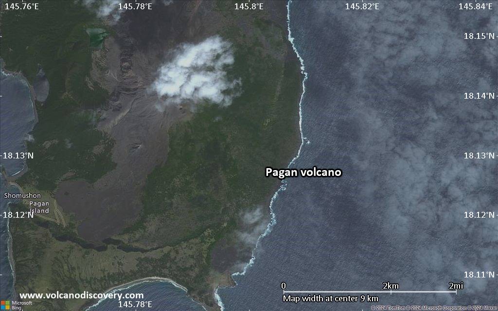
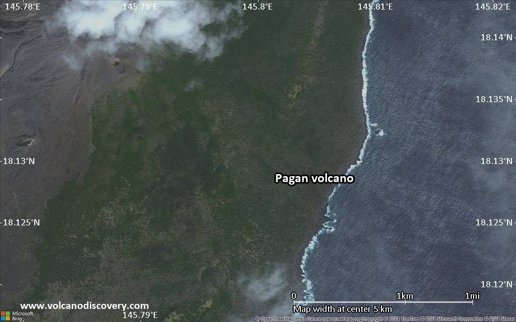
Pagan volcano consists of 2 stratovolcanoes (North and South Pagan) connected by a narrow isthmus and forms the largest and one of the most active of the Mariana Islands. It is located 173 nautical miles north of Saipan.
Nearly all historical eruptions of Pagan, which were recorded since the 17th century, were from North Pagan volcano. The largest historic eruption was in 1981 and prompted the evacuation of the sparsely populated island.

[smaller] [larger]
Typical eruption style: effusive
Pagan volcano eruptions: 2012, 2011, 2010, 2009, 2006, 1993, 1992, 1988, 1987, 1981-85, 1929-30 (?), 1925, 1923, 1917, 1909, 1873?, 1864, 1825 ± 5 years, 1800 ± 50 years, 1669, 1340 ± 100 years

Latest nearby earthquakes

Date and TimeMag / DepthDistance / Location
Jun 2, 04:52 pm (GMT +10)
4.9

276 km
25 km (16 mi) to the SW Pagan Region, Northern Mariana Islands  I FELT IT Info

Background

Both North and South Pagan stratovolcanoes were constructed within calderas, 7 and 4 km in diameter, respectively. The 570-m-high Mount Pagan at the NE end of the island rises above the flat floor of the northern caldera, which may have formed less than 1000 years ago.
South Pagan is a 548-m-high stratovolcano with an elongated summit containing 4 distinct craters.
(from: Smithsonian / GVP)

Significant volcanic eruptions: Pagan volcano

In the past 10,000 years, Pagan has had at least 21 confirmed volcanic eruptions, out of which 19 are documented by historical records, while the others can be inferred from geological evidence.
Additionally, there are 4 uncertain or discredited eruptions from Pagan volcano.
The table below lists all known eruptions (date in bold face) of Pagan volcano since around 1800. Updates on the most recent volcanic activity of Pagan can be found on the news page of Pagan volcano.
DateNoteVEIDeathsDamage
2021 Jul 29 - Sep 6
Historical obs./docs.
2
2012 Jul 10North Pagan
Historical obs./docs.
2
2011 Apr 23 ? - Sep 1 ?North Pagan
Historical obs./docs.
2
2010 May 3 - Aug 11North Pagan
Historical obs./docs.
1
?? 2009 Apr 15
Uncertain Eruption
2
2006 Dec 4 - Dec 8North Pagan
Historical obs./docs.
1
1996 Jul 2 ±182 d.North Pagan
Historical obs./docs.
1
1993 Jan 15 ±5 d. - Nov 16 ±15 d.North Pagan
Historical obs./docs.
2
1992 Apr 13North Pagan
Historical obs./docs.
1?
1988 Aug 24 - Oct 12North Pagan
Historical obs./docs.
2
?? 1988 Feb 16
Uncertain Eruption
?
1987 Sep 4North Pagan
Historical obs./docs.
1
1981 May 15 - 1985 May 1 or laterNorth Pagan (summit and north flank)
Historical obs./docs.
4
1966 May 23
Discredited Eruption
?? 1929 - 1930
Uncertain Eruption
?
1925 Feb - May 5
Historical obs./docs.
2
1923 Feb - Mar 26 ±5 d.North Pagan
Historical obs./docs.
3
1917North Pagan
Historical obs./docs.
2
1909North Pagan
Historical obs./docs.
2
1873 ?North Pagan
Historical obs./docs.
3?
1864South Pagan
Historical obs./docs.
1?
1825 ±5 y.North Pagan
Historical obs./docs.
2?
1800 ±50 y.North Pagan (west flank maar)?
Remark:
Our list of volcanic eruptions closely follows the database of eruptions of the Smithsonian's Global Volcanism Project (GVP), the internationally most recognized data source for volcanic eruptions, but also includes significant eruptive episodes or related volcano events. "Volcanic eruptions" are usually to be understood as sequences of individual eruptive episodes that can follow each other, or even overlap (if several vents are involved), and can last many years, decades or even longer. For example, the current activity of Stromboli volcano is understood as a single eruption that has been ongoing since 1934.
Sources: NOAA National Centers for Environmental Information (NCEI), Global Significant Volcanic Eruptions Database. doi:10.7289/V5TD9V7K | Global Volcanism Project / Smithsonian Institution

Eruptions of Pagan volcano


2011 activity
Small ash emissions were reported from Pagan volcano at the end of August 2011.

2010 eruptions
An ash eruption was reported from Pagan on 6 May 2010.

2009 ash eruptions
Activity was noted in April and August 2009. "Black ash" and steam were observed on 16 April 2009. Crew aboard a NOAA research ship observed continuous emissions from the N crater during 21-22 April.
A small ash eruption probably occurred at Pagan volcano on 15 Aug 2009, as an ash plume drifting NW and a hot spot were observed by satellite.

2006-07 activity
In December 2006 ash eruptions occurred at Pagan volcano and continued into January. Up to a cm per day of ash were reported accumulating 3 km SW of the summit. ...more info

1993 eruptions
Intermittent ash eruptions occurred at Pago volcano from January to March 1993. Frequent ash eruptions produced plumes reaching 1-2 km height. ...more info

Pagan Volcano FAQ

+When was the last eruption of Pagan volcano?

+How often does Pagan volcano erupt?

+How active is Pagan volcano at present?

+When was the largest eruption of Pagan volcano?

Latest satellite images

Pagan satellite image sat1Pagan satellite image sat2

Pagan Volcano Maps

Below is a selection of maps showing the location and surroundings of the volcano at various resolutions based on aerial-imagery / terrain maps. Feel free to use them for non-commercial purposes on your blog or website as long as you credit them with a link back to this page (click to copy it).
Satellite/aerial-type map of Pagan volcano (world scale)
Terrain-type map of Pagan volcano (world scale)
Satellite/aerial-type map of Pagan volcano (region scale large)
Terrain-type map of Pagan volcano (region scale large)
Satellite/aerial-type map of Pagan volcano (region scale medium)
Terrain-type map of Pagan volcano (region scale medium)
Satellite/aerial-type map of Pagan volcano (region scale small)
Terrain-type map of Pagan volcano (region scale small)
Satellite/aerial-type map of Pagan volcano (local scale large)
Terrain-type map of Pagan volcano (local scale large)
Satellite/aerial-type map of Pagan volcano (local scale medium)
Terrain-type map of Pagan volcano (local scale medium)
Satellite/aerial-type map of Pagan volcano (local scale small)
Terrain-type map of Pagan volcano (local scale small)
Satellite/aerial-type map of Pagan volcano (scale of 10s of km)
Terrain-type map of Pagan volcano (scale of 10s of km)
Satellite/aerial-type map of Pagan volcano (scale of 20-40 km)
Terrain-type map of Pagan volcano (scale of 20-40 km)
Satellite/aerial-type map of Pagan volcano (scale of approx. 10-20 km)
Terrain-type map of Pagan volcano (scale of approx. 10-20 km)
Satellite/aerial-type map of Pagan volcano (scale of 5-10 km)
Satellite/aerial-type map of Pagan volcano (scale of few kilometers)
Volcanoes & Earthquakes - new app for Android
Guaranteed tours
1-17 Aug 2025: Volcanoes and Spices - Sulawesi/Halmahera (Indonesia)
1-14 Oct 2025: Desert, salt and volcanoes - Danakil desert (Ethiopia)
4-12 Oct 2025: From Stromboli to Etna - Sicily and Eolian Islands (Italy)
6-21 Oct 2025: From Krakatau to Bali - Java (Indonesia)
3-19 Nov 2025: Volcanoes and Spices - Sulawesi/Halmahera (Indonesia)
= spaces available   = guaranteed   = few spaces left   = booked out
Wed, 8 Jun 2022, 18:34

Pagan volcano (Mariana Islands, USA) - Smithsonian / USGS Weekly Volcanic Activity Report for 1 June-7 June 2022 (Continuing Activity)

The U.S. Geological Survey reported that a possible sulfur dioxide emission from Pagan was detected on 31 May. The Aviation Color Code and the Volcano Alert Level remained at Unassigned. ... Read all
Wed, 13 Oct 2021, 06:00

Pagan volcano (Mariana Islands, USA) - Smithsonian / USGS Weekly Volcanic Activity Report for 13 October-19 October 2021 (New Activity / Unrest)

The U.S. Geological Survey reported that ash and sulfur dioxide emissions from Pagan were last detected on 6 September. The Aviation Color Code and the Volcano Alert Level were both lowered to Unassigned on 24 September; Pagan is monitored with satellite imagery, distal geophysical data, and mariner reports and not ground-based instruments. ... Read all

On this page:

Try our free app!
Volcanoes & Earthquakes - new app for Android
Android | iOS version

More on VolcanoDiscovery

Why is there advertising on this site?

Support us - Help us upgrade our services!

We truly love working to bring you the latest volcano and earthquake data from around the world. Maintaining our website and our free apps does require, however, considerable time and resources.
We need financing to increase hard- and software capacity as well as support our editor team. We're aiming to achieve uninterrupted service wherever an earthquake or volcano eruption unfolds, and your donations can make it happen! Every donation will be highly appreciated. If you find the information useful and would like to support our team in integrating further features, write great content, and in upgrading our soft- and hardware, please make a donation (PayPal).

Planned features:Thanks to your past donations, these features have been added recently:
Download and Upgrade the Volcanoes & Earthquakes app to get one of the fastest seismic and volcano alerts online:
Android | IOS
Thank you!
Sources: VolcanoDiscovery / VolcanoAdventures and other sources as noted.
Use of material: Most text and images on our websites are owned by us. Re-use is generally not permitted without authorization. Contact us for licensing rights.
Volcanoes & Earthquakes
VolcanoDiscovery Home
Volcanoes | Earthquakes | Photos | Volcano News | | Shop | App
Adventure & Study Travel
Tours to Volcanoes and Volcanic Areas: walking tours, photo tours, study tours
Tours & Dates | FAQ | About us
Get our newsletter!
Company info
Contact | Legal info | Terms & conditions
Follow us
Follow us on facebook Follow us on Instagram Follow us on Bluesky Follow us on Twitter Visit our Youtube channel
EN | DE | EL | ES | FR | IT | RU
VolcanoDiscovery GmbH, Germany, Reg. nr.: HRB 103744, EU Tax Id: DE 297 465 123 owned and created by
Dr. Tom Pfeiffer, volcanologist, volcano photographer, tour organizer member of
IAVCEI
IAVCEI
Vulkanologische Gesellschaft
Volcanological Society
Ecotourism Greece
Ecotourism Greece
RUV insurance
Insured by R+V
VolcanoDiscovery © 2004- All Rights Reserved | Privacy - Cookie Settings