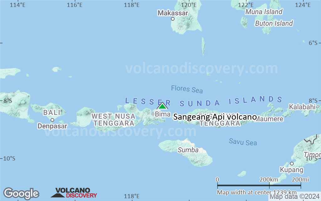
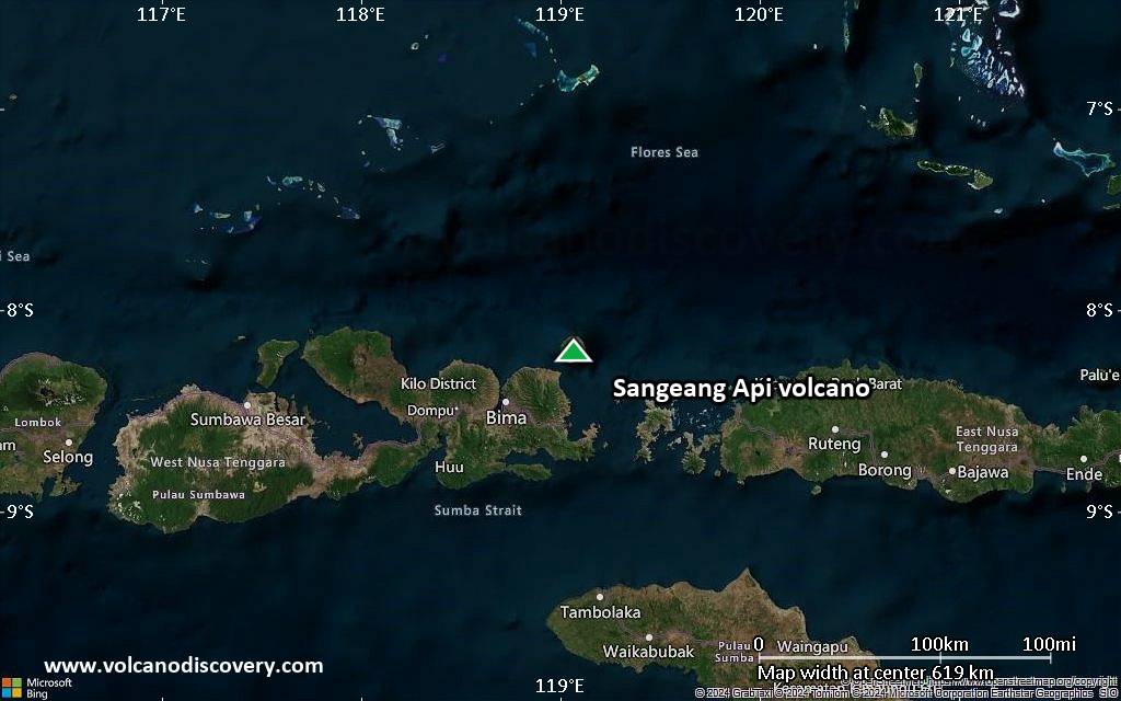
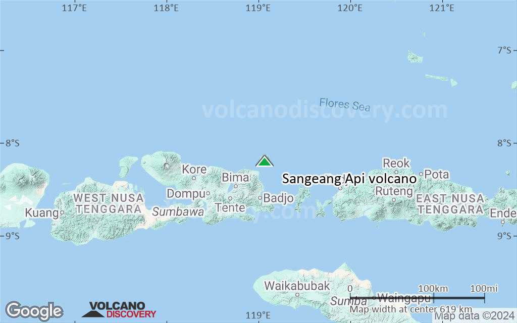
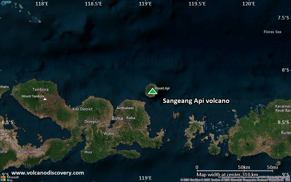
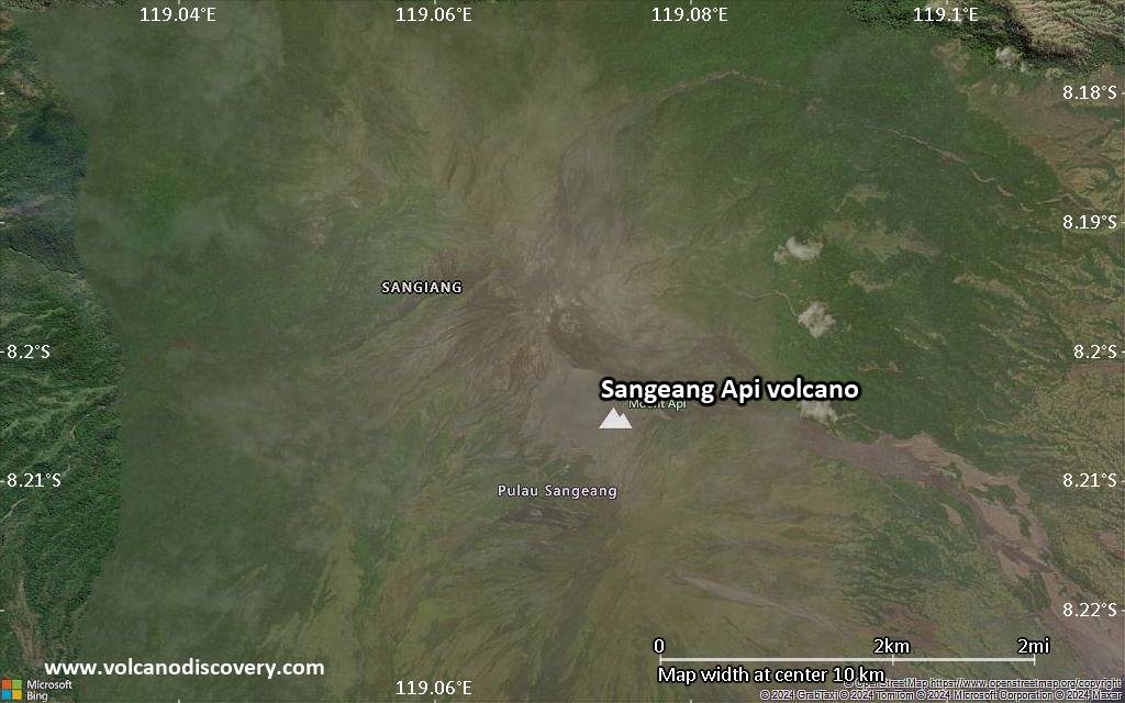
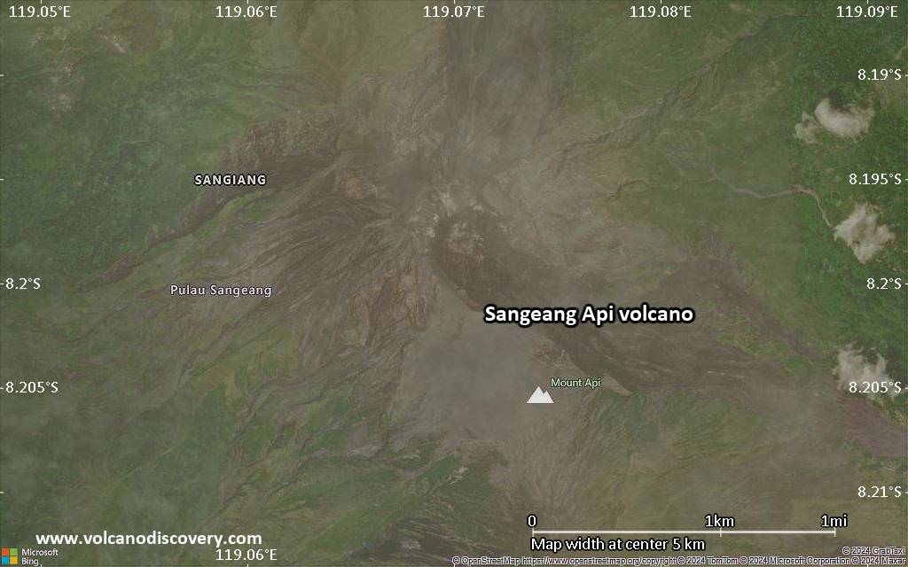
Sangeang Api Volcano
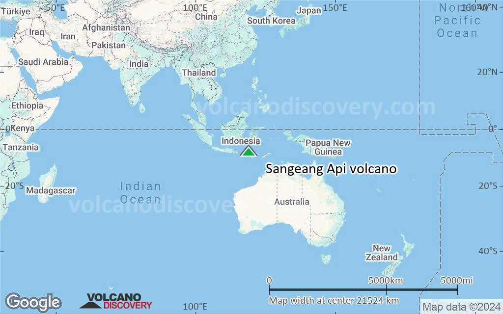
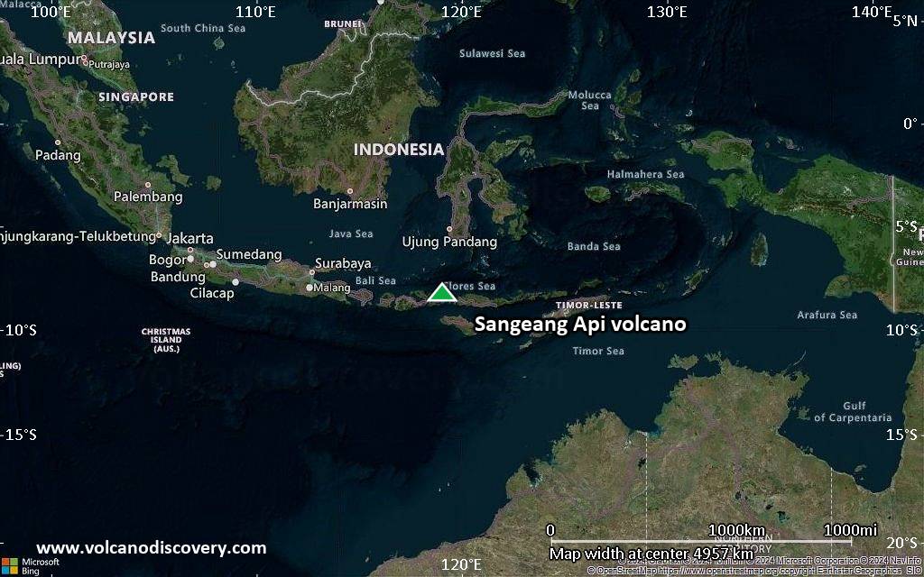
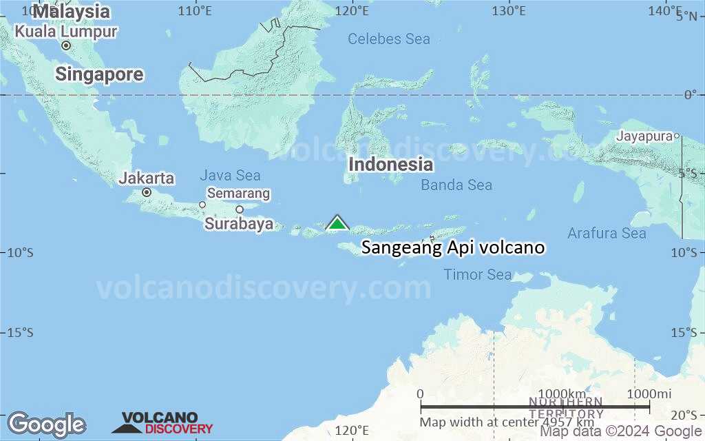
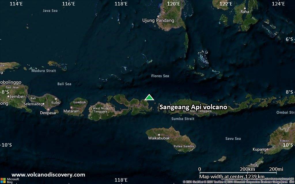
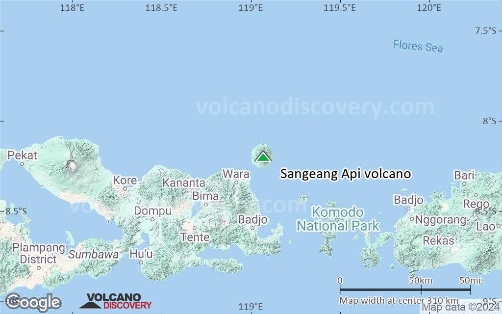
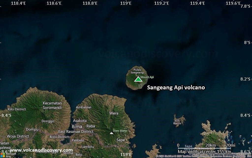
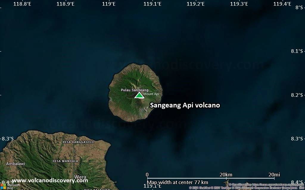
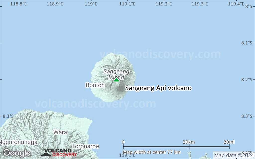
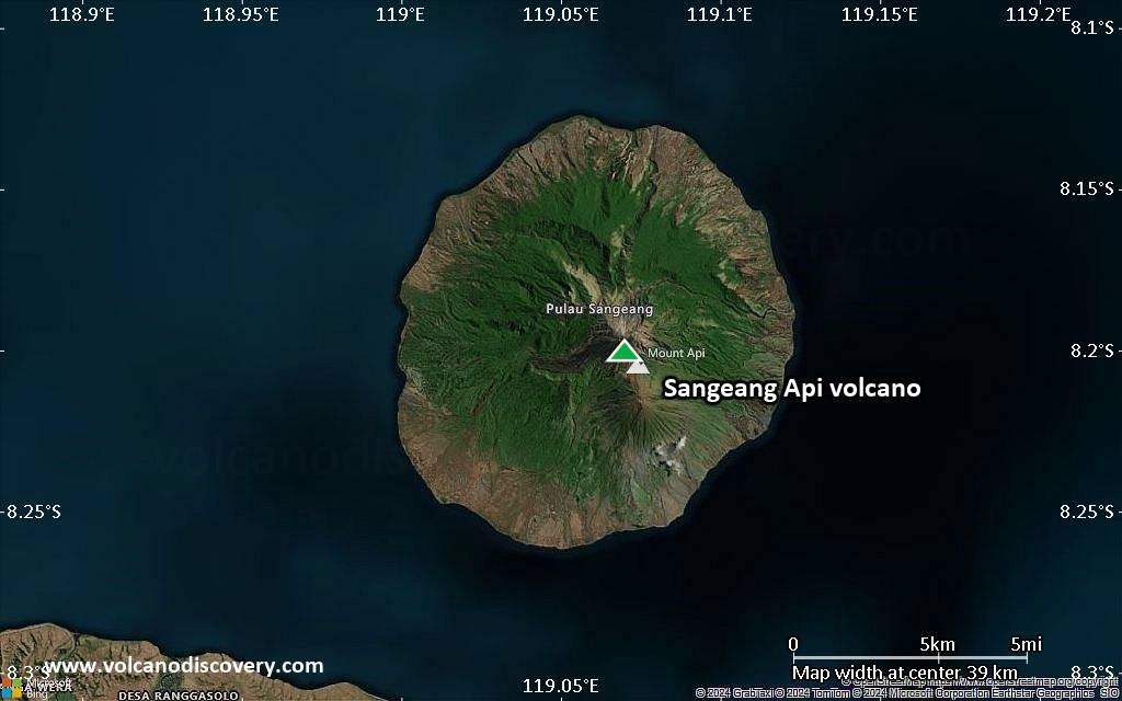
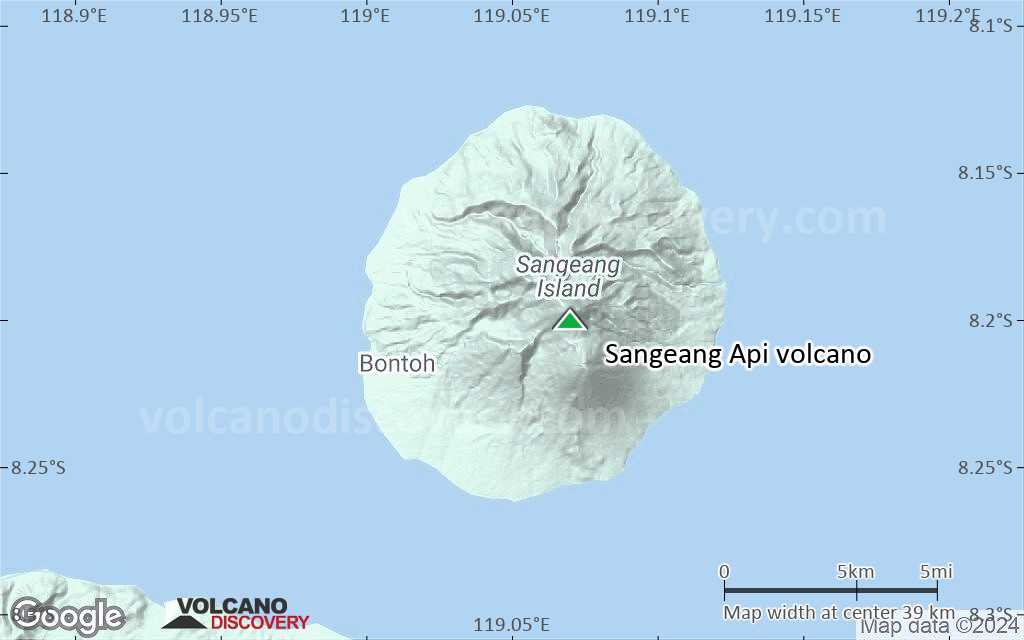
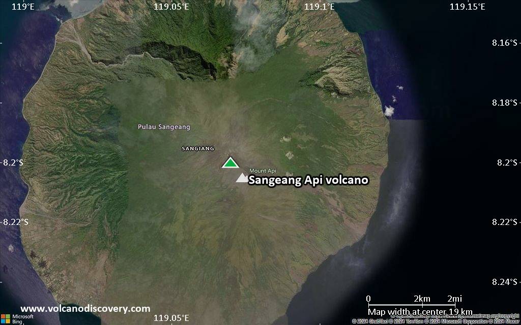
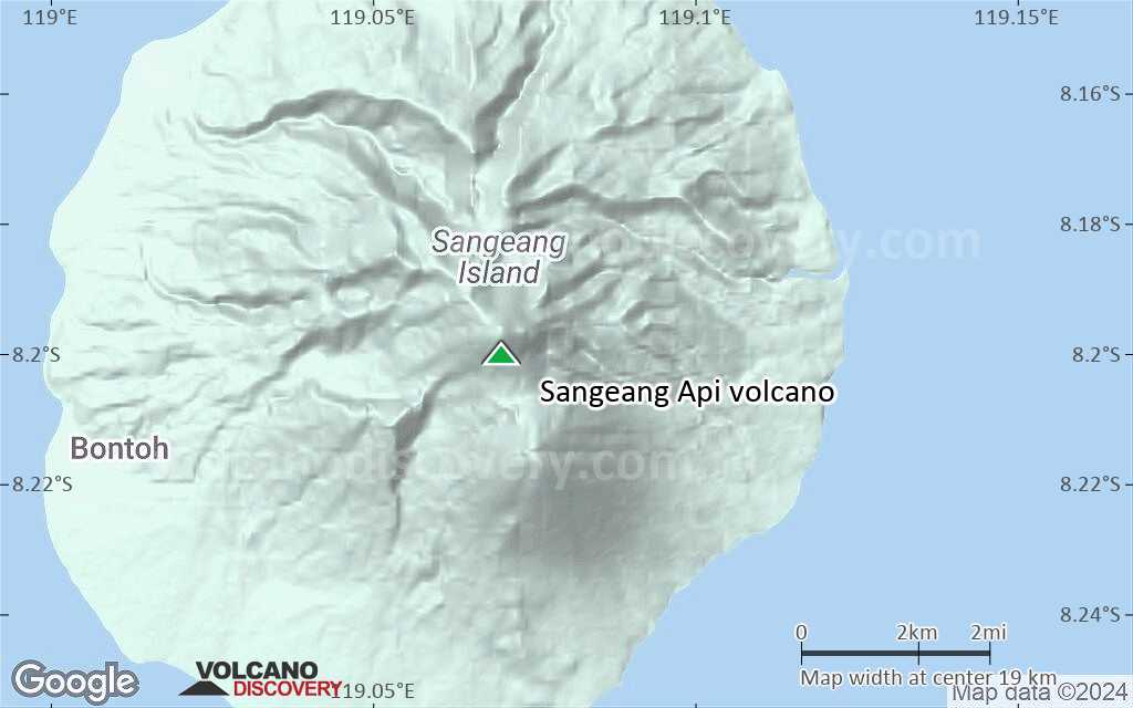
Sangeang Api volcano is one of the most active in the Lesser Sunda Islands. It forms a small 13 km wide island off the NE coast of Sumbawa. Sangeang Api Volcano consists of 2 overlapping cones: active Doro Api (1949 m) and the older cone and Doro Mantoi (1795 m).
Sangeang Api's eruptions are often effusive with lava flows accompanying strombolian activity following an initial explosive phase.
Sangeang Api volcano eruptions: 30 May 2014 (subplinian), 1997-99, 1985-88, 1966, 1964-65, 1958, 1957, 1956, 1955, 1954, 1954, 1953, 1927, 1912, 1911, 1860, 1821, 1715, 1512.
Latest nearby earthquakes
| Date and Time | Mag / Depth | Distance / Location | |||
|---|---|---|---|---|---|
| Nov 14, 03:22 am (Makassar) | 2.2 130 km | 27 km (17 mi) to the SE | Info | ||
Background
The two large trachybasaltic-to-tranchyandesitic volcanic cones of Doro Api and Doro Mantoi were constructed in the center and on the eastern rim of an older, now almost buried caldera. Flank eruptions have built flank cones on the south side of Doro Mantoi and near the northern coast.Sangeang Api Volcano Photos


Significant volcanic eruptions: Sangeang Api volcano
Additionally, there are 2 uncertain or discredited eruptions from Sangeang Api volcano.
| Date | Note | VEI | Deaths | Damage | |
|---|---|---|---|---|---|
Historical obs./docs. | 2 | ||||
| Summit crater, Doro Api cone Historical obs./docs. | 2 | ||||
| Summit crater and east flank Historical obs./docs. | 3 | ||||
?? | Uncertain Eruption | ? | |||
Historical obs./docs. | 2? | ||||
| Doro Api Historical obs./docs. | 3 | ||||
Historical obs./docs. | 2 | ||||
| Doro Api Historical obs./docs. | 2 | ||||
Historical obs./docs. | 1? | ||||
Historical obs./docs. | 1 | ||||
Historical obs./docs. | 1 | ||||
Historical obs./docs. | 1 | ||||
Historical obs./docs. | 2 | ||||
Historical obs./docs. | 2 | ||||
| Doro Api Historical obs./docs. | 3 | ||||
Historical obs./docs. | 2 | ||||
Historical obs./docs. | 2 | ||||
| Doro Api Historical obs./docs. | 2 | ||||
Historical obs./docs. | 2 | ||||
Historical obs./docs. | 2 | ||||
Historical obs./docs. | 2 | ||||
?? | Uncertain Eruption Historical obs./docs. | 3 | |||
Sangeang Api Volcano FAQ
+When was the last eruption of Sangeang Api volcano?
The last confirmed eruption of Sangeang Api occurred in 2022.
+How often does Sangeang Api volcano erupt?
Since 1715, Sangeang Api volcano has had at least 20 historically documented eruptions. This means that it erupts on average every 15.5 years.
Many eruptions of Sangeang Api have lasted more than one year. In total, the volcano has been in eruption during 29 out of 310 years until now. In other words, Sangeang Api has been active at least one in 10.7 years on average. Note that this value is likely an underestimate, because the known history of eruptions from Sangeang Api is likely incomplete, especially further back in time.
+How active is Sangeang Api volcano at present?
Sangeang Api volcano is relatively active: Since 1900, it has had 26 eruptions, and been active during 26 years out of 126 as of now. This means, Sangeang Api has been in eruption one in 4.8 years on average. The last eruption was in 2022 and ended 4 years ago.
+When was the largest eruption of Sangeang Api volcano?
The largest eruption of Sangeang Api volcano in historic times occurred during 2014 - 2015. It ranks as a "vulcanian" eruption with a magnitude 3 on the VEI (Volcanic Explosivity Index) scale.
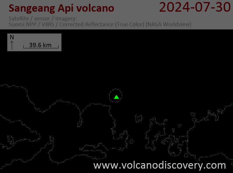
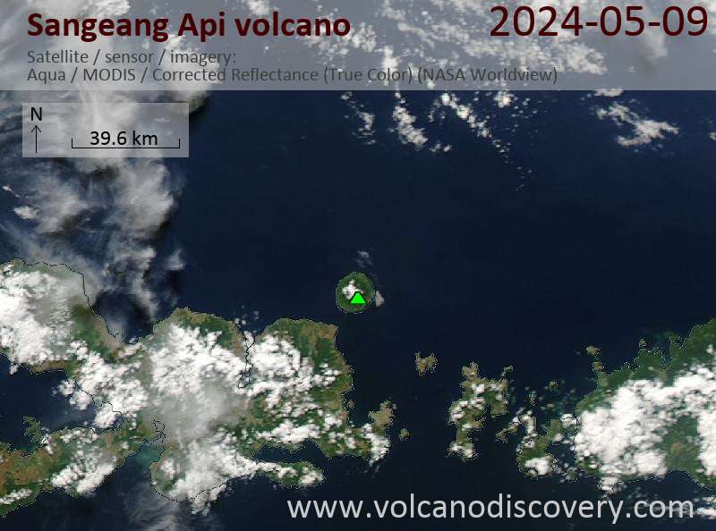
Latest satellite images
Sangeang Api Volcano Maps