


Satah Volcano
Updated: Nov 15, 2025 19:01 GMT -
volcanic field
Canada, 52.47°N / -124.7°W 
Summit height: 1921 m / 6,302 ft
Current status: normal or dormant (1 out of 5)
The Satah Mountain volcanic field in the Central Interior of British Columbia, Canada, is an extensive N-S trending volcanic chain that stretches south of the Itcha Range shield volcano to northeast of Nimpo Lake. The last eruptions took place around 7,200 years ago.
[smaller] [larger]
Satah volcano eruptions: none in historic time, ca. 7200 years ago
Latest nearby earthquakes
| Date and Time | Mag / Depth | Distance / Location | |||
|---|---|---|---|---|---|
Background
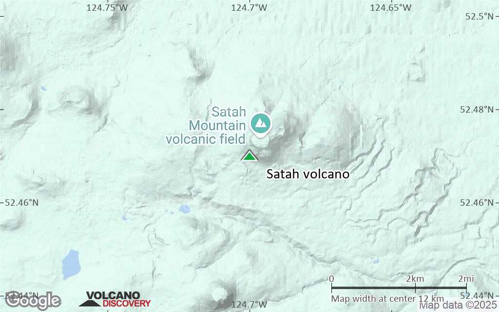
The chain is located on the Chilcotin Plateau and forms a segment of the E-W trending Anahim Volcanic Belt, whose volcanic activity ranges in age from Miocene-to-Holocene. Volcanic features in the Satah Mountain field include lava domes, cinder cones and lava flows. Its name originates from Satah Mountain, the highest volcano, located 35 km (22 mi) northeast of Nimpo Lake.Lava domes and flows are composed of trachyte and the cinder cones consist of basaltic and trachybasaltic lava.
The most recently formed cone is well preserved and might have a similar age to the 7,200 year old Nazko Cone at the easternmost end of the Anahim Volcanic Belt.
---
Source: wikipedia
Latest satellite images
Satah Volcano Maps
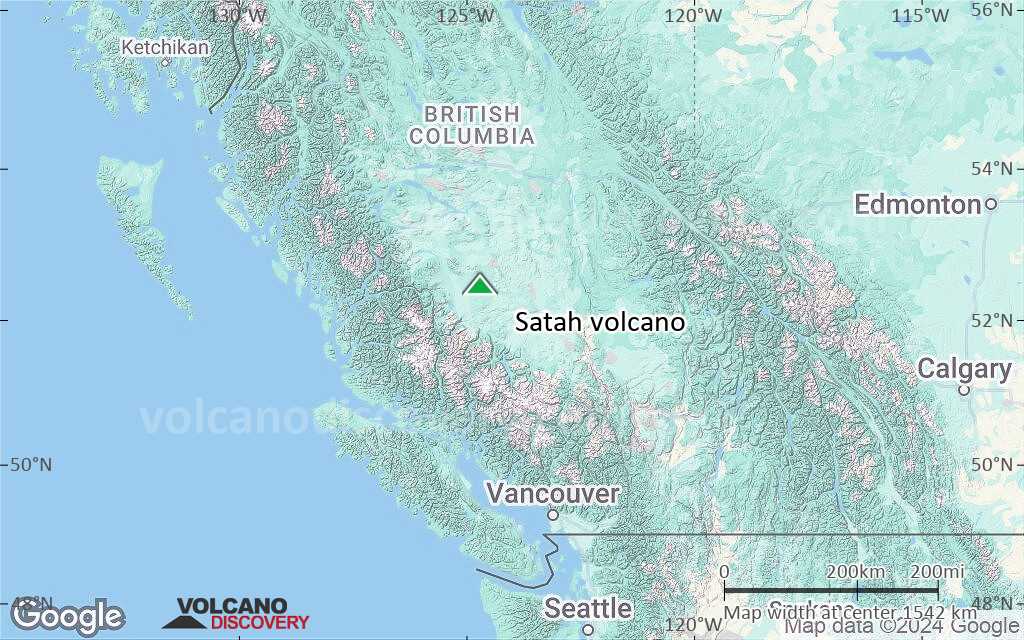
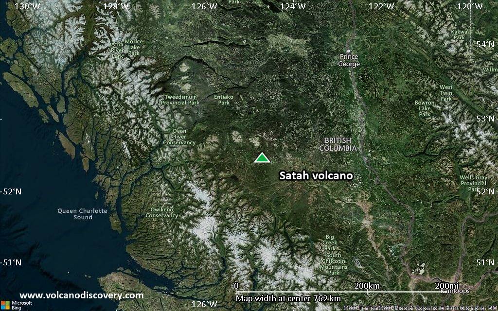
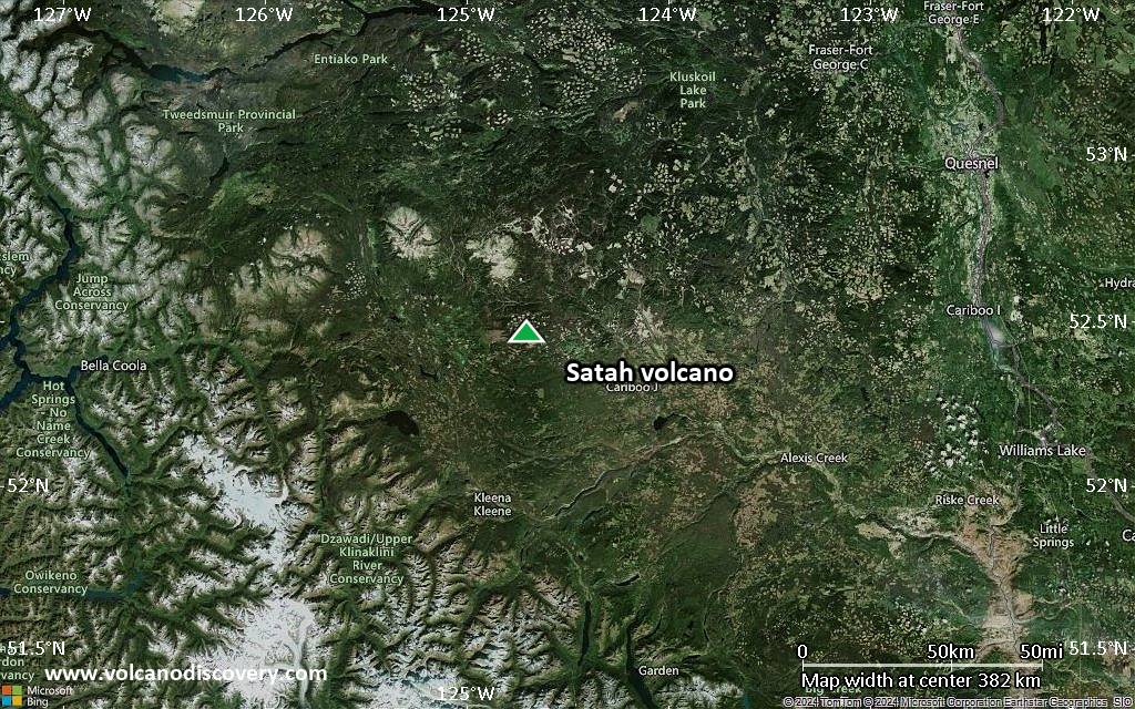
Below is a selection of maps showing the location and surroundings of the volcano at various resolutions based on aerial-imagery / terrain maps. Feel free to use them for non-commercial purposes on your blog or website as long as you credit them with a link back to this page (click to copy it).
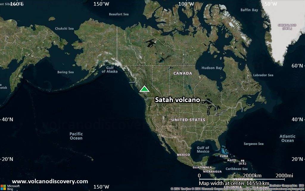
Satellite/aerial-type map of Satah volcano (world scale)

Terrain-type map of Satah volcano (world scale)
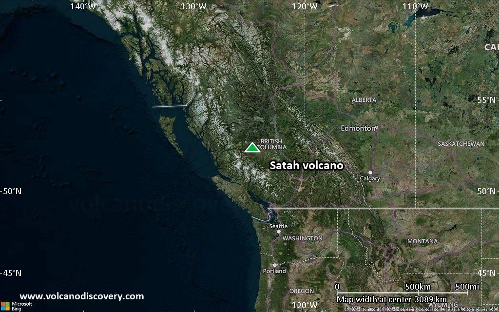
Satellite/aerial-type map of Satah volcano (region scale large)

Terrain-type map of Satah volcano (region scale large)

Satellite/aerial-type map of Satah volcano (region scale medium)
Terrain-type map of Satah volcano (region scale medium)
Satellite/aerial-type map of Satah volcano (region scale small)

Terrain-type map of Satah volcano (region scale small)
Satellite/aerial-type map of Satah volcano (local scale large)

Terrain-type map of Satah volcano (local scale large)

Satellite/aerial-type map of Satah volcano (local scale medium)

Terrain-type map of Satah volcano (local scale medium)

Satellite/aerial-type map of Satah volcano (local scale small)

Terrain-type map of Satah volcano (local scale small)

Satellite/aerial-type map of Satah volcano (scale of 10s of km)

Terrain-type map of Satah volcano (scale of 10s of km)

Satellite/aerial-type map of Satah volcano (scale of 20-40 km)

Terrain-type map of Satah volcano (scale of 20-40 km)

Satellite/aerial-type map of Satah volcano (scale of approx. 10-20 km)
Terrain-type map of Satah volcano (scale of approx. 10-20 km)

Satellite/aerial-type map of Satah volcano (scale of 5-10 km)

Satellite/aerial-type map of Satah volcano (scale of few kilometers)


