


Severny Volcano
Updated: Nov 25, 2025 16:24 GMT -
Shield volcano
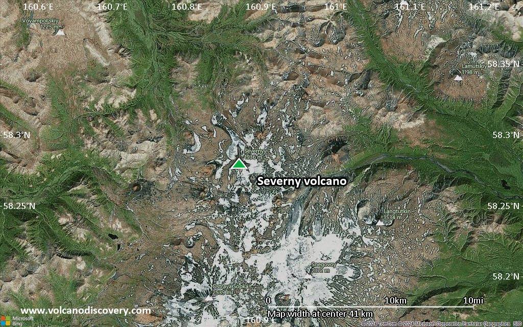
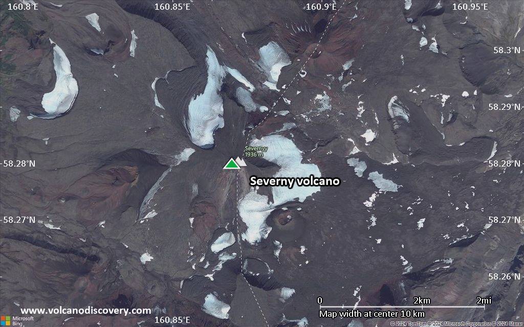
Kamchatka, Russia, 58.28°N / 160.87°E 
Summit height: 1936 m / 6,352 ft
Current status: normal or dormant (1 out of 5)
[smaller] [larger]
Severny volcano eruptions: 1550 BC (?)
Latest nearby earthquakes
| Date and Time | Mag / Depth | Distance / Location | |||
|---|---|---|---|---|---|
Background
Severny is a late-Quaternary Icelandic-type shield volcano located at the NW end of a major NE-trending graben along the crest of the northern Sredinny Range. The 1936-m-high Severny is capped by a small stratovolcano. A small shield volcano was constructed on its SW flank, and an even smaller shield grew on the NE flank. The basaltic Tobeltsen cinder cone on the WSW flank and associated lava flows were erupted about 3500 years ago.---
Smithsonian / GVP volcano information
Significant volcanic eruptions: Severny volcano
No historic eruptions are known from Severny volcano, but at least one eruption in 1550 BC can be inferred from geological evidence.
The table below lists all known eruptions (date in bold face) of Severny volcano in historic times and during the past 10,000 years. Updates on the most recent volcanic activity of Severny can be found on the news page of Severny volcano.
| Date | Note | VEI | Deaths | Damage | |
|---|---|---|---|---|---|
| WSW flank (Tobeltsen) | ? | ||||
Remark:
Our list of volcanic eruptions closely follows the database of eruptions of the Smithsonian's Global Volcanism Project (GVP), the internationally most recognized data source for volcanic eruptions, but also includes significant eruptive episodes or related volcano events. "Volcanic eruptions" are usually to be understood as sequences of individual eruptive episodes that can follow each other, or even overlap (if several vents are involved), and can last many years, decades or even longer. For example, the current activity of Stromboli volcano is understood as a single eruption that has been ongoing since 1934.
Sources: NOAA National Centers for Environmental Information (NCEI), Global Significant Volcanic Eruptions Database. doi:10.7289/V5TD9V7K | Global Volcanism Project / Smithsonian Institution
Severny Volcano FAQ
+When was the last eruption of Severny volcano?
The last confirmed eruption of Severny occurred in 1550 BC.
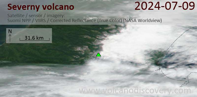
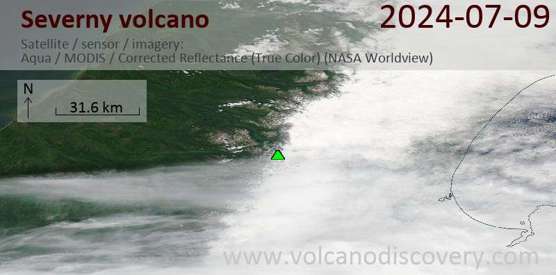
Latest satellite images
Severny Volcano Maps
Below is a selection of maps showing the location and surroundings of the volcano at various resolutions based on aerial-imagery / terrain maps. Feel free to use them for non-commercial purposes on your blog or website as long as you credit them with a link back to this page (click to copy it).
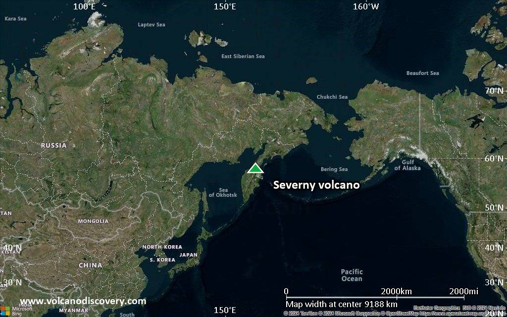
Satellite/aerial-type map of Severny volcano (world scale)

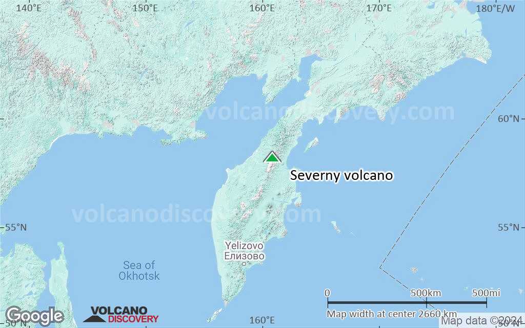
Terrain-type map of Severny volcano (world scale)
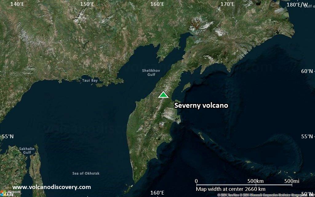
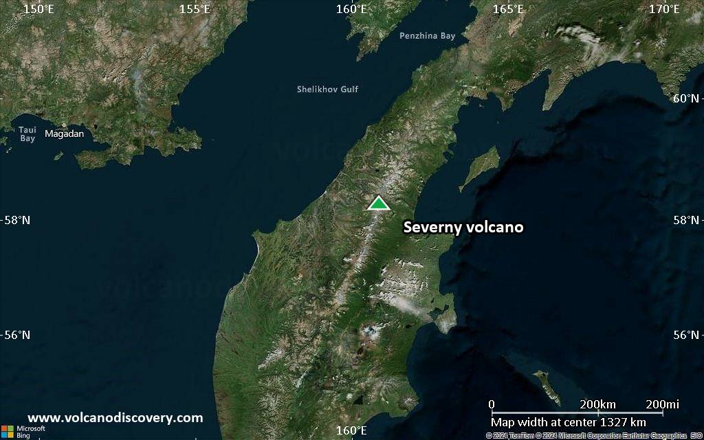
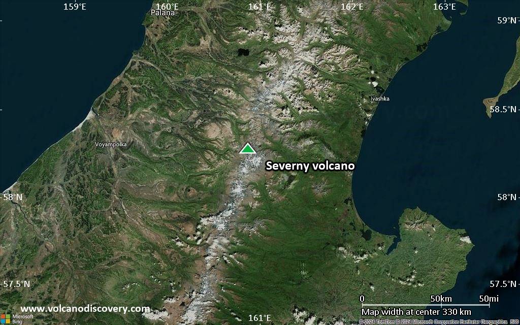
Satellite/aerial-type map of Severny volcano (region scale large)
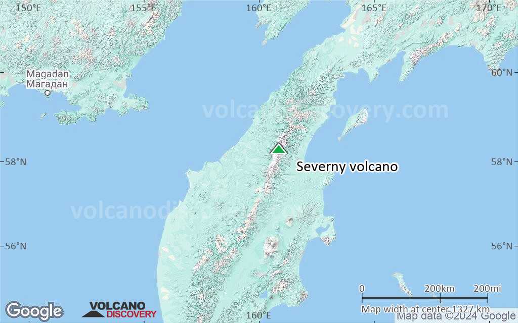
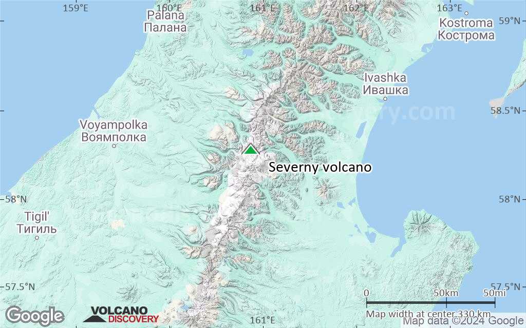
Terrain-type map of Severny volcano (region scale large)
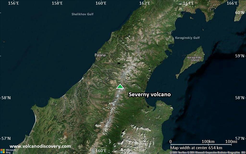
Satellite/aerial-type map of Severny volcano (region scale medium)
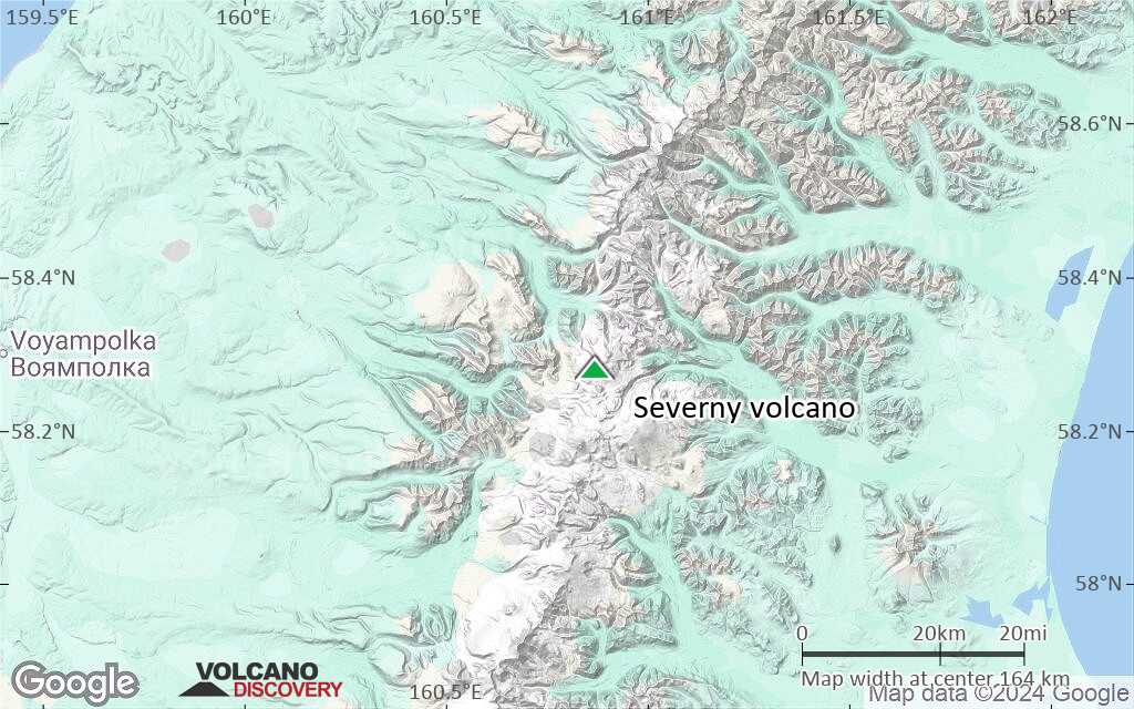
Terrain-type map of Severny volcano (region scale medium)
Satellite/aerial-type map of Severny volcano (region scale small)

Terrain-type map of Severny volcano (region scale small)
Satellite/aerial-type map of Severny volcano (local scale large)
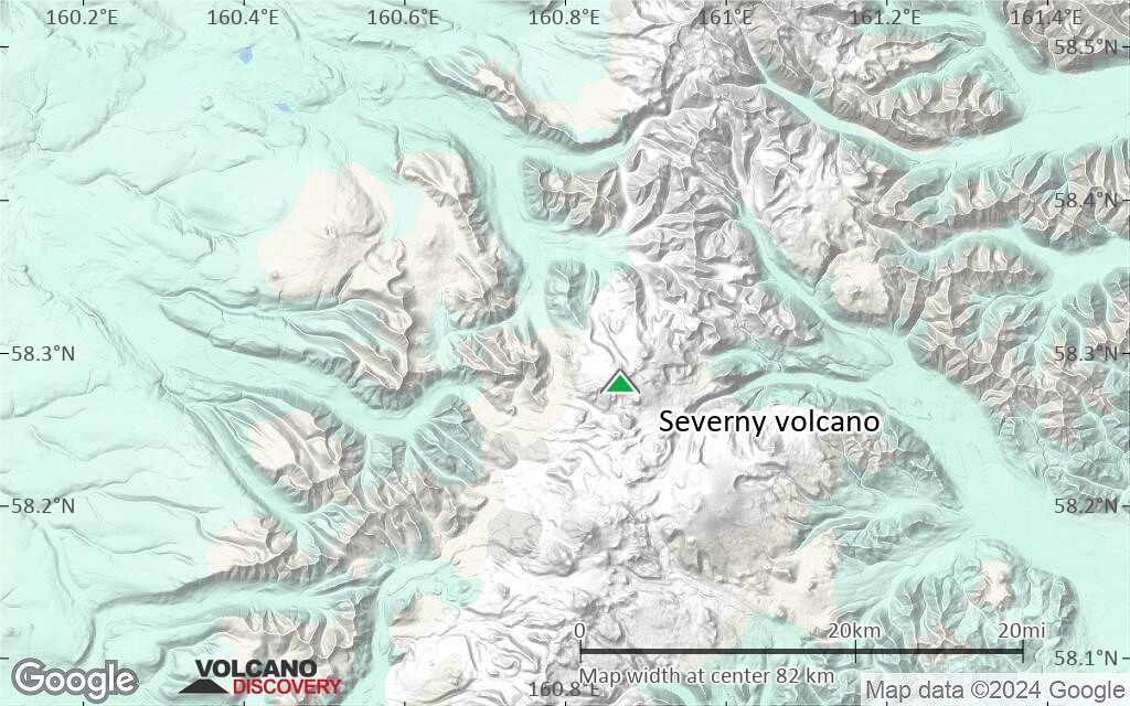
Terrain-type map of Severny volcano (local scale large)

Satellite/aerial-type map of Severny volcano (local scale medium)
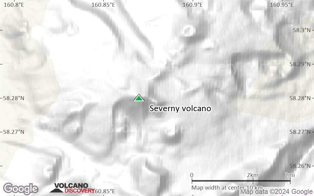
Terrain-type map of Severny volcano (local scale medium)

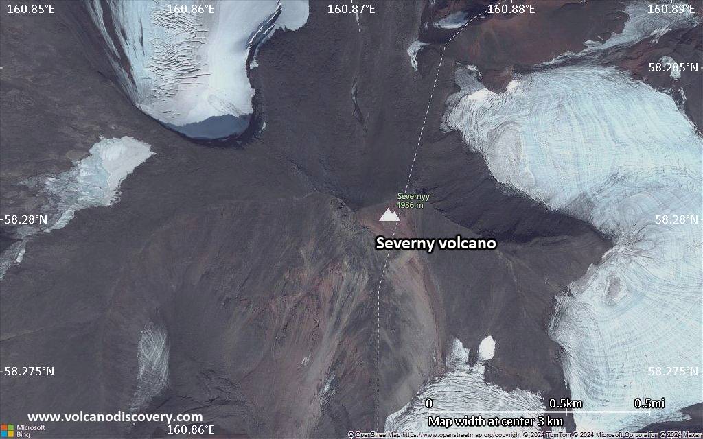
Satellite/aerial-type map of Severny volcano (local scale small)
Terrain-type map of Severny volcano (local scale small)
Satellite/aerial-type map of Severny volcano (scale of 10s of km)

Terrain-type map of Severny volcano (scale of 10s of km)

Satellite/aerial-type map of Severny volcano (scale of 20-40 km)

Terrain-type map of Severny volcano (scale of 20-40 km)
Satellite/aerial-type map of Severny volcano (scale of approx. 10-20 km)
Terrain-type map of Severny volcano (scale of approx. 10-20 km)
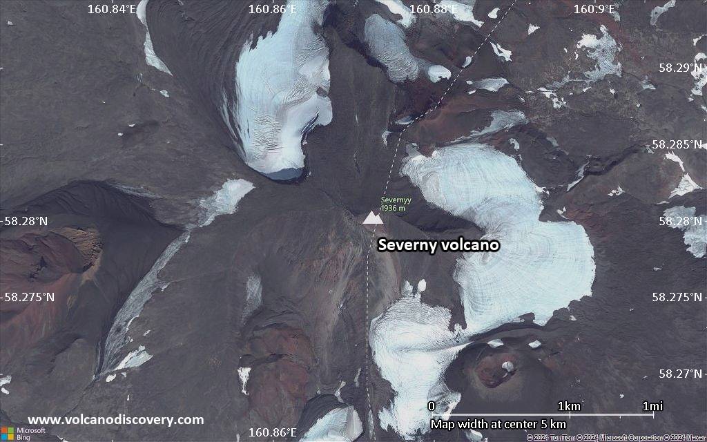
Satellite/aerial-type map of Severny volcano (scale of 5-10 km)
Satellite/aerial-type map of Severny volcano (scale of few kilometers)


