


St. Catherine Volcano
Updated: Nov 9, 2025 12:42 GMT -
Stratovolcano
West Indies, Grenada, 12.15°N / -61.67°W 
Summit height: 840 m / 2,756 ft
Current status: normal or dormant (1 out of 5)
[smaller] [larger]
St. Catherine volcano eruptions: unknown, no recent eruptions
Latest nearby earthquakes
| Date and Time | Mag / Depth | Distance / Location | |||
|---|---|---|---|---|---|
Background
The island of Grenada is composed of five Pliocene-to-Pleistocene volcanic centers, the youngest and highest of which is Mount St. Catherine on the northern end of the island. A complex of lava domes is located within a horseshoe-shaped crater breached to the east at the summit of 840-m-high Mount St. Catherine. Pyroclastic-flow deposits extend to the NW from the extensively weathered volcano. The most recent activity on Grenada originated from a group of young maars, tuff rings, and scoria cones that extend SSW-NNE across the length of the 30-km-long island. Kick 'em Jenny, the historically active submarine volcano 8 km north of Grenada, is listed separately in this compilation along with adjacent submarine and subaerial cones that may represent a single volcanic complex. No eruptions of St. Catherine are known in historical time, although the most recent eruption along a NE-SW-trending fault cutting across the island produced a scoria cone near Radix village that could be less than 1000 years old. Hot springs and fumaroles are present at several locations on Mount St. Catherine.---
Smithsonian / GVP volcano information
Latest satellite images


St. Catherine Volcano Maps
Below is a selection of maps showing the location and surroundings of the volcano at various resolutions based on aerial-imagery / terrain maps. Feel free to use them for non-commercial purposes on your blog or website as long as you credit them with a link back to this page (click to copy it).

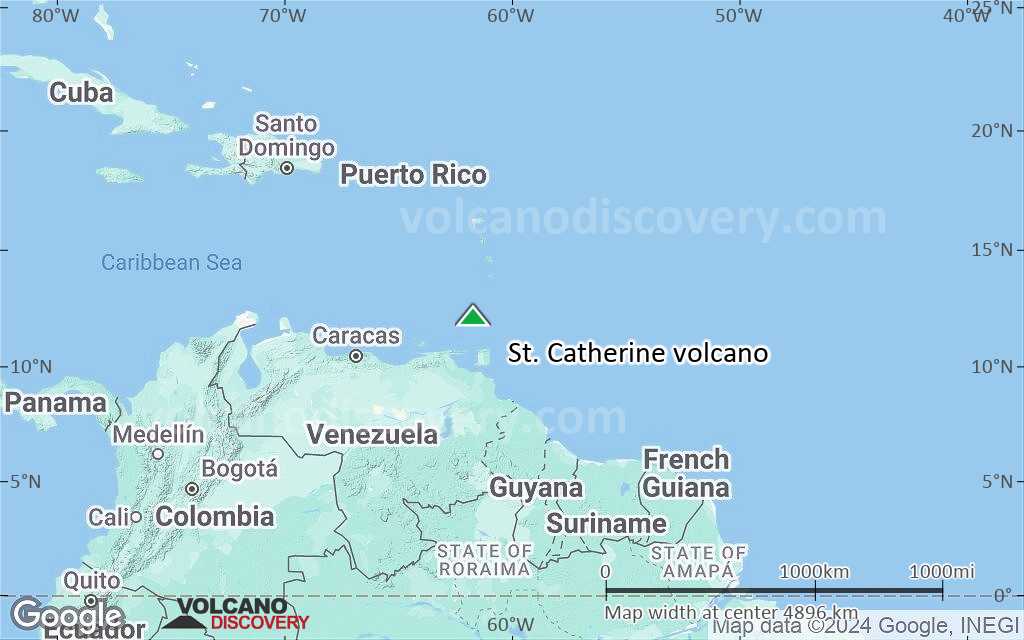
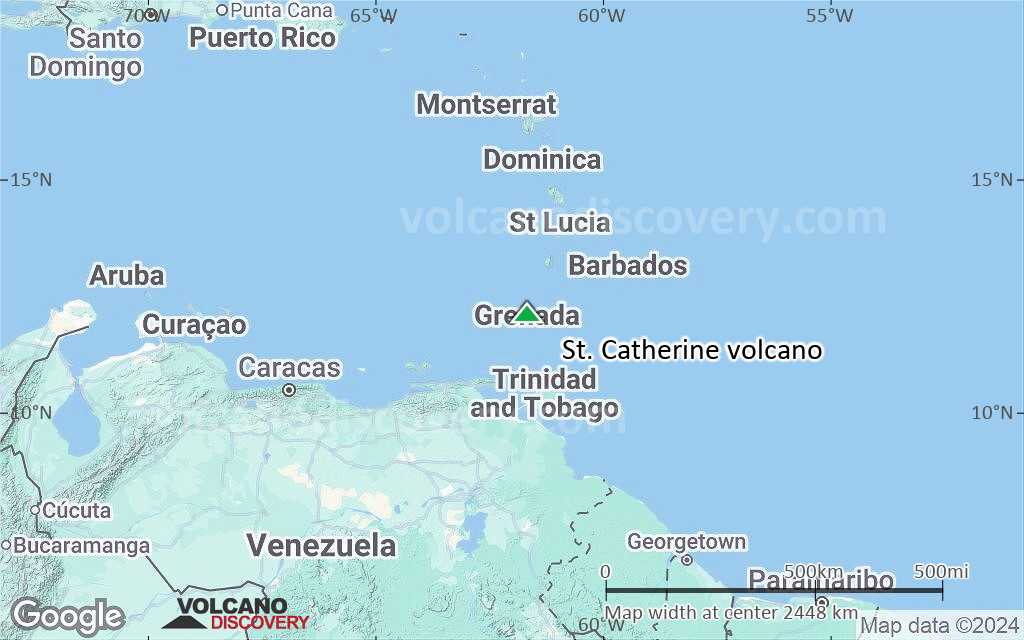
Satellite/aerial-type map of St. Catherine volcano (world scale)
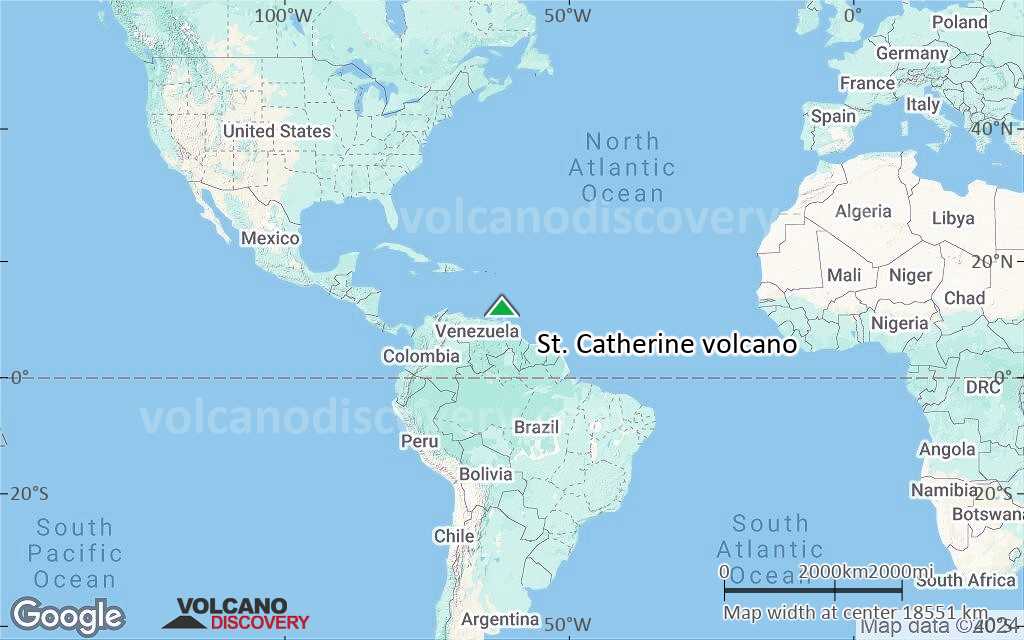
Terrain-type map of St. Catherine volcano (world scale)
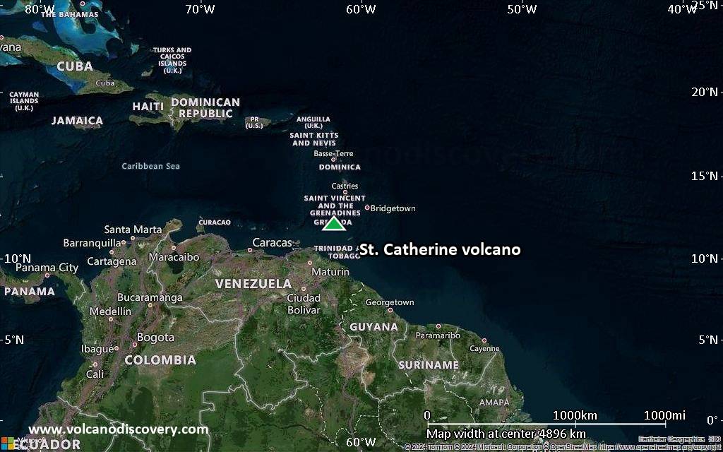
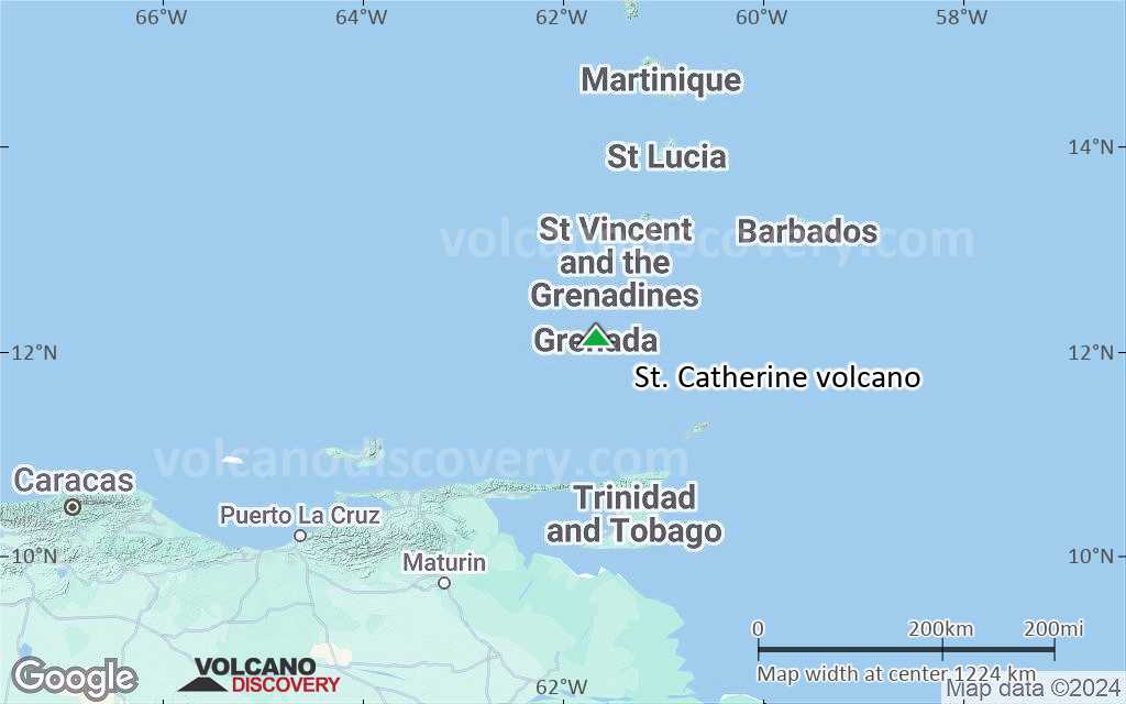
Satellite/aerial-type map of St. Catherine volcano (region scale large)
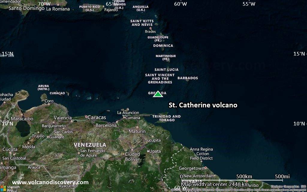
Terrain-type map of St. Catherine volcano (region scale large)
Satellite/aerial-type map of St. Catherine volcano (region scale medium)
Terrain-type map of St. Catherine volcano (region scale medium)

Satellite/aerial-type map of St. Catherine volcano (region scale small)
Terrain-type map of St. Catherine volcano (region scale small)

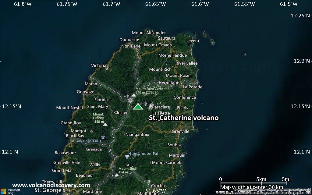
Satellite/aerial-type map of St. Catherine volcano (local scale large)

Terrain-type map of St. Catherine volcano (local scale large)

Satellite/aerial-type map of St. Catherine volcano (local scale medium)

Terrain-type map of St. Catherine volcano (local scale medium)

Satellite/aerial-type map of St. Catherine volcano (local scale small)

Terrain-type map of St. Catherine volcano (local scale small)

Satellite/aerial-type map of St. Catherine volcano (scale of 10s of km)

Terrain-type map of St. Catherine volcano (scale of 10s of km)
Satellite/aerial-type map of St. Catherine volcano (scale of 20-40 km)

Terrain-type map of St. Catherine volcano (scale of 20-40 km)

Satellite/aerial-type map of St. Catherine volcano (scale of approx. 10-20 km)

Terrain-type map of St. Catherine volcano (scale of approx. 10-20 km)

Satellite/aerial-type map of St. Catherine volcano (scale of 5-10 km)

Satellite/aerial-type map of St. Catherine volcano (scale of few kilometers)


