Agua Volcano
Updated: May 15, 2024 05:48 GMT -
Stratovolcano 3760 m / 12,336 ft
Guatemala, 14.47°N / -90.74°W
Current status: normal or dormant (1 out of 5)
Guatemala, 14.47°N / -90.74°W
Current status: normal or dormant (1 out of 5)
[smaller] [larger]
Agua volcano eruptions: unknown, no recent eruptions
Latest nearby earthquakes
| Time | Mag. / Depth | Distance / Location | |||
Background
The symmetrical, forested Volcán de Agua stratovolcano forms an impressive backdrop to the historic former capital city of Antigua Guatemala, opposite the twin volcanoes of Fuego and Acatenango. The 3760-m-high basaltic-andesite to andesite Agua volcano has an isolated position that makes it a prominent landmark from all directions. A small, 280-m-wide circular crater is breached on the NNE side. Six small pit craters are located on the NW flank, and two small cones lie on the south flank. Agua's symmetrical profile implies a relatively young age, although currently no dated Holocene tephra deposits are known. Agua has had no historical eruptions, but its name (the water volcano) originates from a devastating mudflow on September 11, 1541. The mudflow destroyed the first Guatemalan capital city established by the Spanish Conquistadors, which is now known as Ciudad Vieja. The catastrophe prompted the establishment of a new capital city at nearby Antigua.---
Smithsonian / GVP volcano information
Agua Volcano Photos
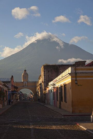
Mighty Agua volcano seen from Antigua (Photo: Tom Pfeiffer)
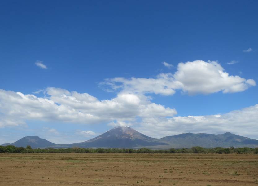
Volcanoes El Chonco, San Cristobal (highest volcano in Nicaragua) and Casita, view from Chichigalpa (Photo: WNomad)
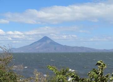
Stratovolcano Momotombo at Lake Managua, Nicaragua (Photo: WNomad)

Stratovolcano San Cristobal, view from Chichigalpa, Nicaragua (Photo: WNomad)
Latest satellite images