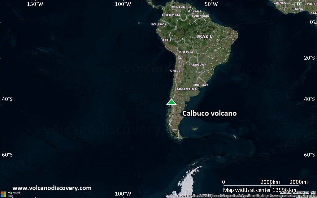
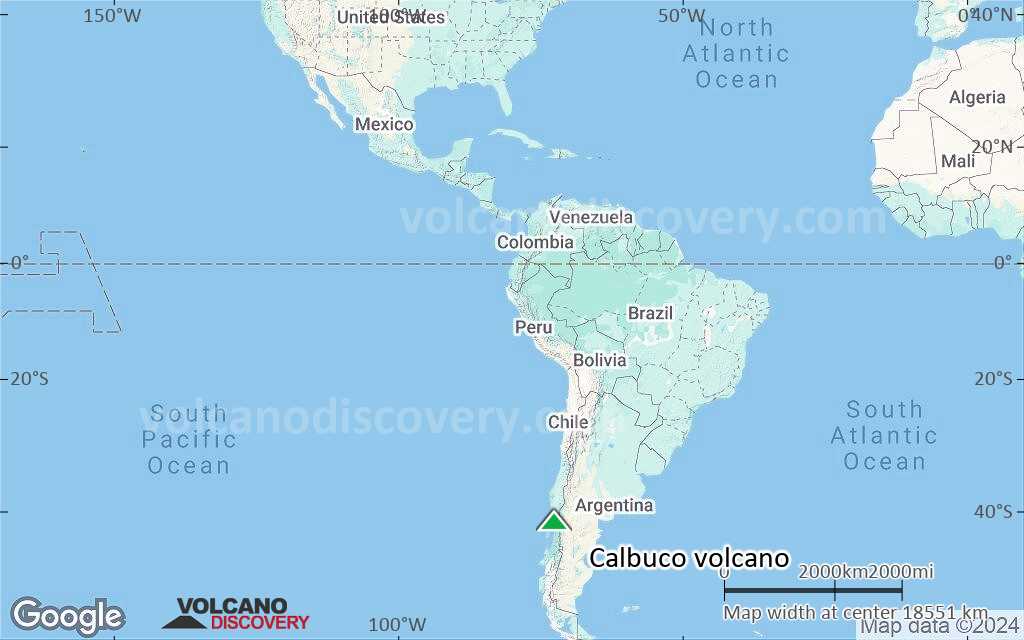
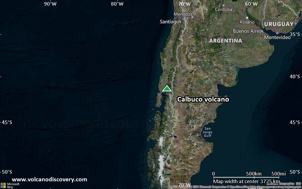
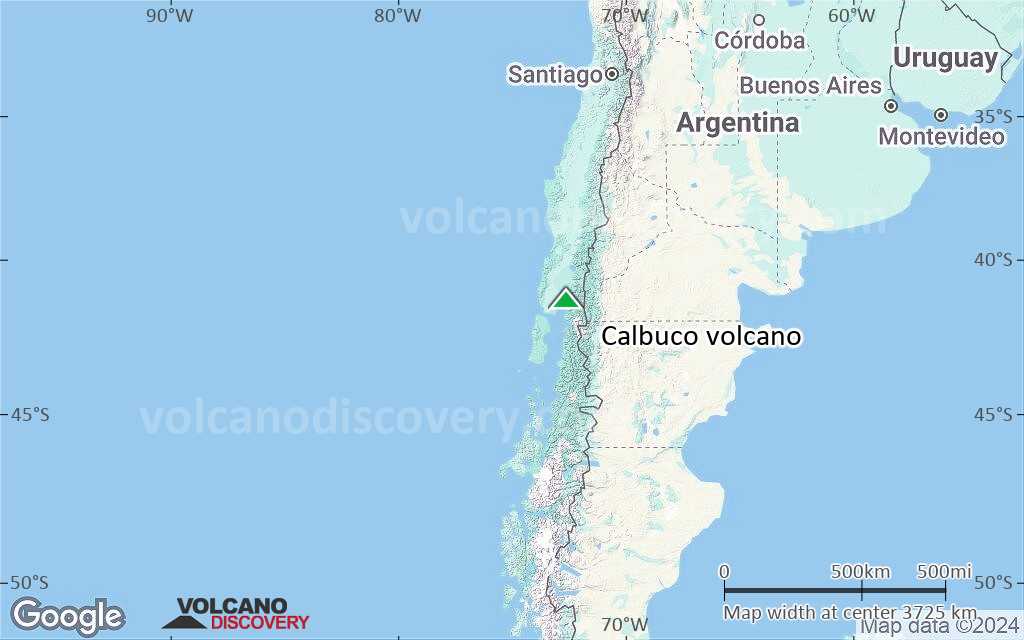
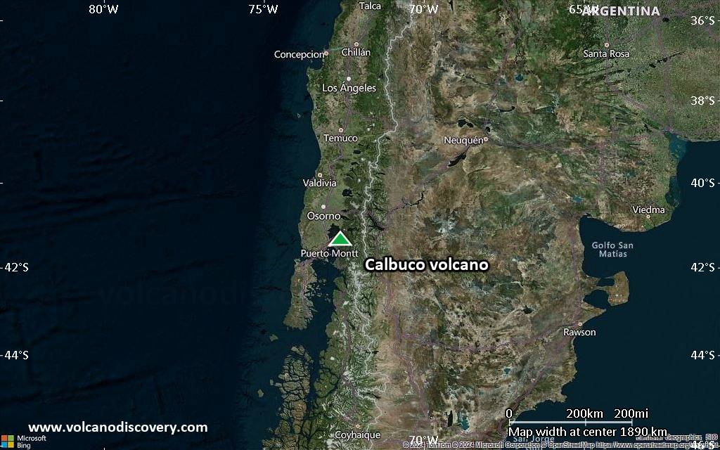
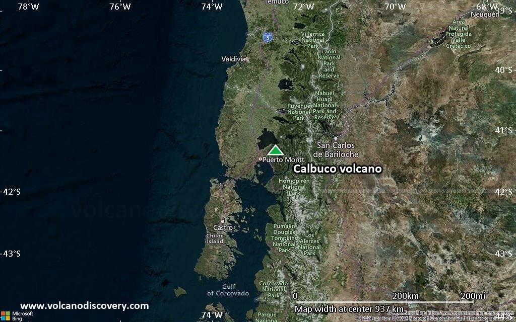
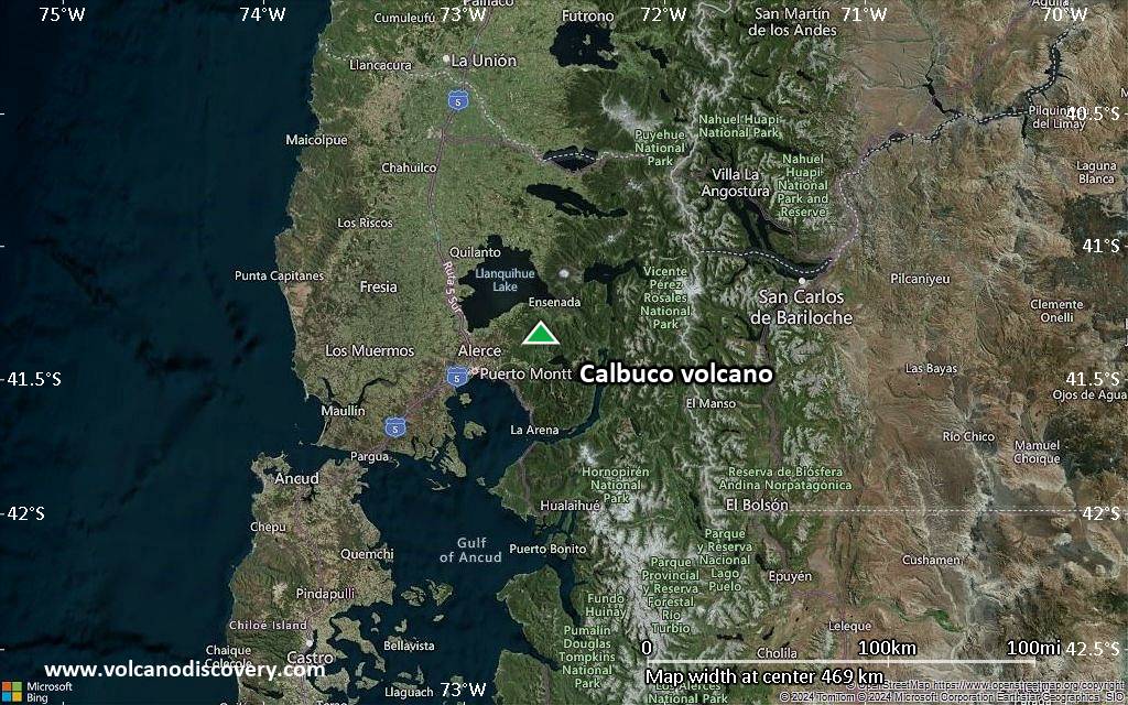
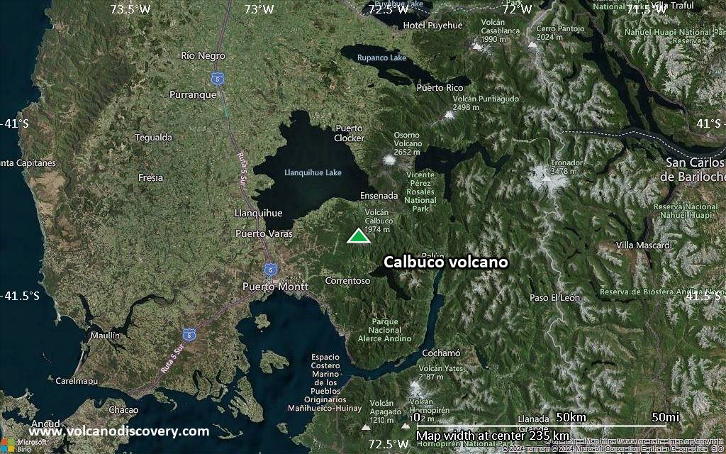
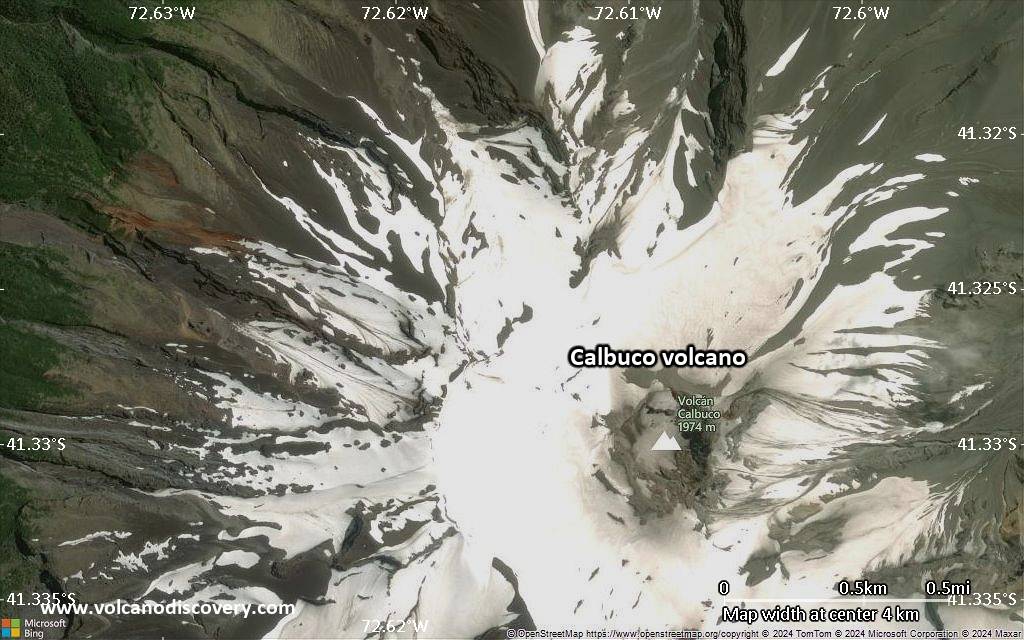
Calbuco Volcano
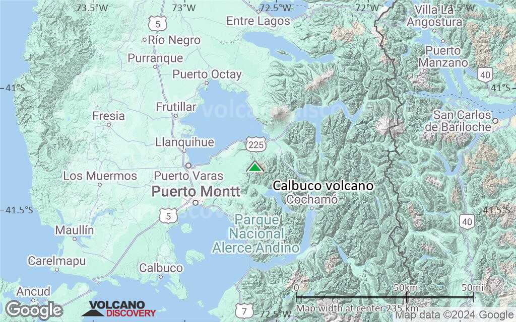
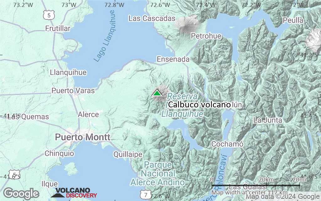
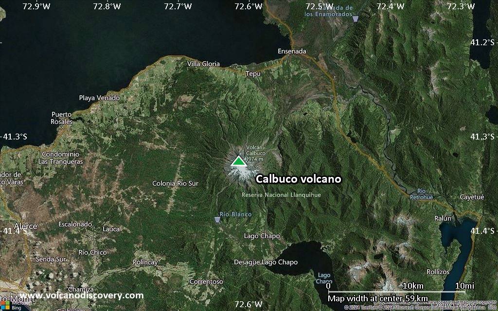
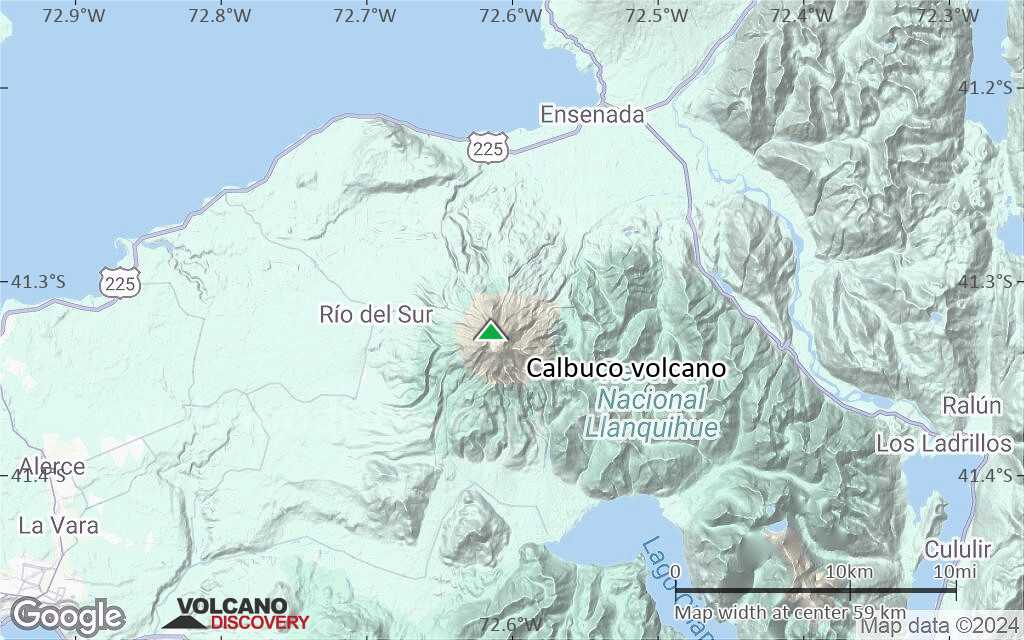
Calbuco volcano, along with its neighbor Osorno, is one of Chile's most active volcanoes. It is located 11 km south of Lake Llanquihué and 30 km NE of the town of Puerto Mont in the Lake District in southern Chile.
Calbuco volcano consists mainly of blocky aa lava flows and tephra layers, and its summit is truncated by a 400-500 m wide summit crater. Debris avalanches from Calbuco have reached Lake Llanquihue.
One of the largest historical eruptions in southern Chile took place from Calbuco in 1893-1894. It ended with the formation of a lava dome in the summit crater. Later eruptions have enlarged the lava-dome complex.
Calbuco volcano eruptions: 2015, 1972, 1961, 1929, 1917, 1911-12, 1909, 1907, 1906, 1895, 1893-94
Latest nearby earthquakes
| Date and Time | Mag / Depth | Distance / Location | |||
|---|---|---|---|---|---|
| Apr 18, 02:14 pm (Santiago) | 4.4 9.5 km | 24 km (15 mi) to the SE | Info | ||
Background
The stratovolcano edifice of Calbuco is elongated in a SW-NE direction and is the result of a complex history, creating 4 major units:Calbuco-1: the oldest volcanic edifice which is now eroded and only outcrops in deep gullies.
Calbuco-2: the main cone of Calbuco volcano, which consists of interbedded lavas and breccias. This edifice was truncated by a a 3 km3 debris avalanche to the NNW following a violent plinian eruption.
Calbuco-3: the complex of lava flows and domes on the northern flank emplaced after the debris avalanche. This unit partially fills the scar of the avalanche.
Calbuco-4: the historical lava dome and associated lava flows produced during the eruptions of 1893-94, 1917, 1929 and 1961.
---
Sources:
- Smithsonian / GVP volcano information
- López-Escobar et al (1995) "Calbuco Volcano and minor eruptive centers distributed along the Liquiñe-Ofqui Fault Zone, Chile (41°–42° S): contrasting origin of andesitic and basaltic magma in the Southern Volcanic Zone of the Andes", Contributions to Mineralogy and Petrology, v 119 (4), pp 345-361
Significant volcanic eruptions: Calbuco volcano
There is one uncertain or discredited eruption during 1837 - 1838 from Calbuco volcano.
| Date | Note | VEI | Deaths | Damage | ||
|---|---|---|---|---|---|---|
| Summit crater Historical obs./docs. | 4 | |||||
| 2015 Apr 22 (eruption | Historical obs./docs. | 0 | moderate | Info | ||
Historical obs./docs. | 2 | |||||
Historical obs./docs. | 3 | |||||
| 1961 Jan 25 (eruption | Historical obs./docs. | 3 | light | Info | ||
Historical obs./docs. | ? | |||||
Historical obs./docs. | ? | |||||
Historical obs./docs. | 3? | |||||
| 1929 Jan 6 (eruption | Historical obs./docs. | 3 | Info | |||
Historical obs./docs. | 3? | |||||
| 1917 Apr (eruption | Historical obs./docs. | 3 | Info | |||
Historical obs./docs. | 2 | |||||
Historical obs./docs. | 2 | |||||
Historical obs./docs. | 2? | |||||
Historical obs./docs. | 2 | |||||
Historical obs./docs. | 2? | |||||
Historical obs./docs. | 4 | |||||
| 1893 Jan 7 (eruption | Historical obs./docs. | 4 | light | Info | ||
Discredited Eruption | ||||||
Historical obs./docs. | ? | |||||
| ? | ||||||
| ? | ||||||
Calbuco Volcano FAQ
+When was the last eruption of Calbuco volcano?
The last confirmed eruption of Calbuco occurred in 2015.
+How often does Calbuco volcano erupt?
Since 1792, Calbuco volcano has had at least 14 historically documented eruptions. This means that it erupts on average every 16.6 years.
+How active is Calbuco volcano at present?
Calbuco volcano is infrequently active: Since 1900, it has had 12 eruptions, and been active during 12 years out of 126 as of now. This means, Calbuco has been in eruption one in 10.5 years on average. The last eruption was in 2015 and ended 10 years ago.
+When was the largest eruption of Calbuco volcano?
The largest eruption known from the younger geological history of Calbuco volcano occurred around 6760 BC. It ranks as a sub-plinian eruption with a magnitude 4 on the VEI (Volcanic Explosivity Index) scale.
Latest satellite images
Calbuco Volcano Maps