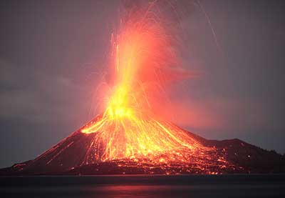
Daikoku Volcano
Updated: Jul 22, 2025 02:30 GMT -
submarine volcano
Volcano Islands (Japan), 21.32°N / 144.19°E 
Summit height: -323 m / -1,060 ft
Current status: normal or dormant (1 out of 5)
Last update: 29 May 2016 (underwater eruption discovered on 14 Dec 2014)
Daikoku is a sumbarine volcano with a conical summit in the Japanese Volcano Islands chain. It sits on an elongated E-W-trending ridge SE of Eifuku submarine volcano and rises to within 323 m of the sea surface. It has a crater with a black pool of liquid sulfur discovered in 2006.
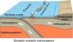
Daikoku submarine volcano is one of about a dozen submarine volcanoes displaying hydrothermal activity in the southern part of the Izu-Marianas chain.
[smaller] [larger]
Daikoku volcano eruptions: 2014
Latest nearby earthquakes
| Date and Time | Mag / Depth | Distance / Location | |||
|---|---|---|---|---|---|
Background
A steep-walled, 50-m-wide cylindrical crater on the north flank, about 75 m below the summit, is at least 135 m deep and was observed to emit cloudy hydrothermal fluid. During a NOAA expedition in 2006, scientists observed a convecting, black pool of liquid sulfur with a partly solidified, undulating sulfur crust at a depth of 420 m below the summit of Daikoku. Gases, particulate with the appearance of smoke, and liquid sulfur were bubbling up from the back edge of the sulfur pool.(Smithsonian / GVP volcano information)
Latest satellite images
Daikoku Volcano Maps
Below is a selection of maps showing the location and surroundings of the volcano at various resolutions based on aerial-imagery / terrain maps. Feel free to use them for non-commercial purposes on your blog or website as long as you credit them with a link back to this page (click to copy it).

Satellite/aerial-type map of Daikoku volcano (world scale)

Terrain-type map of Daikoku volcano (world scale)

Satellite/aerial-type map of Daikoku volcano (region scale large)

Terrain-type map of Daikoku volcano (region scale large)

Satellite/aerial-type map of Daikoku volcano (region scale medium)

Terrain-type map of Daikoku volcano (region scale medium)

Satellite/aerial-type map of Daikoku volcano (region scale small)

Terrain-type map of Daikoku volcano (region scale small)

Satellite/aerial-type map of Daikoku volcano (local scale large)

Terrain-type map of Daikoku volcano (local scale large)

Satellite/aerial-type map of Daikoku volcano (local scale medium)

Terrain-type map of Daikoku volcano (local scale medium)

Satellite/aerial-type map of Daikoku volcano (local scale small)

Terrain-type map of Daikoku volcano (local scale small)

Satellite/aerial-type map of Daikoku volcano (scale of 10s of km)

Terrain-type map of Daikoku volcano (scale of 10s of km)

Satellite/aerial-type map of Daikoku volcano (scale of 20-40 km)

Terrain-type map of Daikoku volcano (scale of 20-40 km)

Satellite/aerial-type map of Daikoku volcano (scale of approx. 10-20 km)

Terrain-type map of Daikoku volcano (scale of approx. 10-20 km)

Satellite/aerial-type map of Daikoku volcano (scale of 5-10 km)

Satellite/aerial-type map of Daikoku volcano (scale of few kilometers)


