Ayarza Volcano
Updated: 30. Apr. 2024 16:22 GMT -
Caldera(s) 1409 m / 4623 ft
Guatemala, 14.42°N / -90.12°W
Aktueller Status: (wahrscheinlich) erloschen (0 von 5)
Guatemala, 14.42°N / -90.12°W
Aktueller Status: (wahrscheinlich) erloschen (0 von 5)
[smaller] [larger]
Ausbrüche des Ayarza: None during the past 10,000 years
Less than few million years ago (Pleistocene)
Letzte Erdbeben in der Nähe
| Uhrzeit | Mag. / Tiefe | Entfernung / Ort | |||
| 18. Apr. 06:10 (GMT -6) | 0.0 21 km | 28 km südwestlich | Info | ||
Beschreibung
Ayarza is a double caldera that lies about 40 km NE of the active Guatemalan volcanic front. The 5 x 7 km wide figure-8-shaped caldera is filled by the scenic Laguna de Ayarza, which is about 4 km wide in the western caldera and 2 km wide in the eastern caldera. Both calderas, whose steep walls rise nearly 600 m above the lake surface, were formed within several thousand years of each other during major rhyolitic explosive eruptions in the late Pleistocene. The older eastern caldera was associated with eruption of the Mixta pumice fall and ashflow, which were radiocarbon dated at about 27,000 +/- 1600 years before present (BP). The larger western caldera was formed during eruption of the Pinos Altos airfall pumice and Tapalapa ashflows radiocarbon dated at 23,100 +/- 500 years BP. Formation of the double caldera appears to be the last volcanic activity at Ayarza; bathymetry of the lake floor does not show evidence for post-caldera eruptions.---
Source: Smithsonian / GVP volcano information
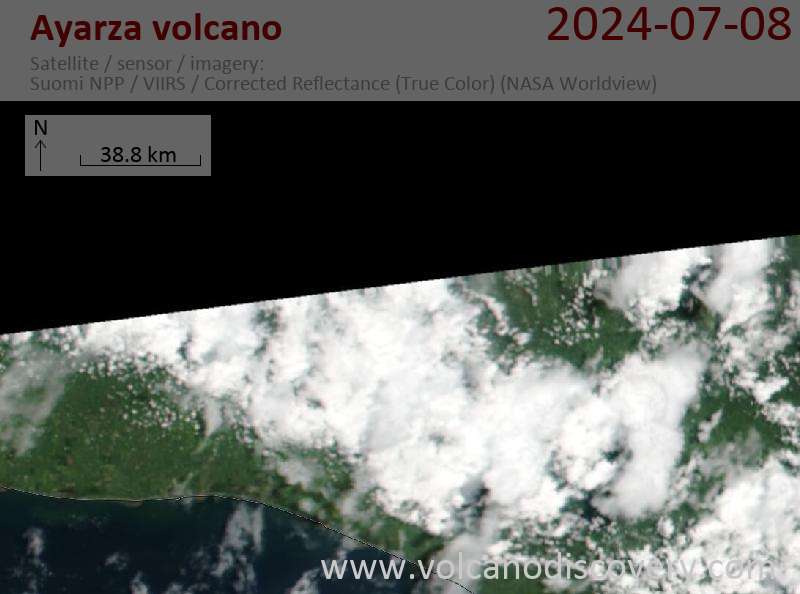
Latest satellite images