Contact | RSS | EN | DE | EL | ES | FR | IT | RU

Yelia Volcano

Updated: 10 mai 2024 05:01 GMT -
stratovolcano 3384 m / 11,102 ft
New Guinea (Papouasie Nouvelle Guinée), -7.05°S / 145.86°E
Condition actuelle: normal / en sommeil (1 sur 5)

Mt Yelia volcano was first recognized as a volcano in 1963, although it has long been a familiar landmark for pilots flying between Port Moresby and Goroka.
The last significant eruption of Yelia volcano was about 18,000 years ago, and it is unknown whether it has erupted since then. There is weak solfataric activity in the summit crater and there are unverified reports from local inhabitants of an eruption during the early 1940's.

[smaller] [larger]
Style éruptif tipique: explosive
Eruptions du volcan Yelia: around 1940 (?, unconfirmed), 18,000 years ago

Derniers séismes proches

No recent earthquakes
HeureMag. / ProfondeurDistance / Lieu

Introduction

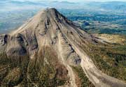
Mount Yelia contains a group of andesitic lava domes in the summit area and on the NW flank. Marble Peak is an older volcanic center immediately to the south. The largest dome in the summit crater is cut by at least 11 craters. 2 large steep-sided, flat-topped lava domes occupy the NNE flank, and 2 smaller domes are located to the west.
The structure and geology of the volcano are similar to Lamington volcano and the volcano is considered potentially active.
---
Source: Smithsonian / GVP volcano information

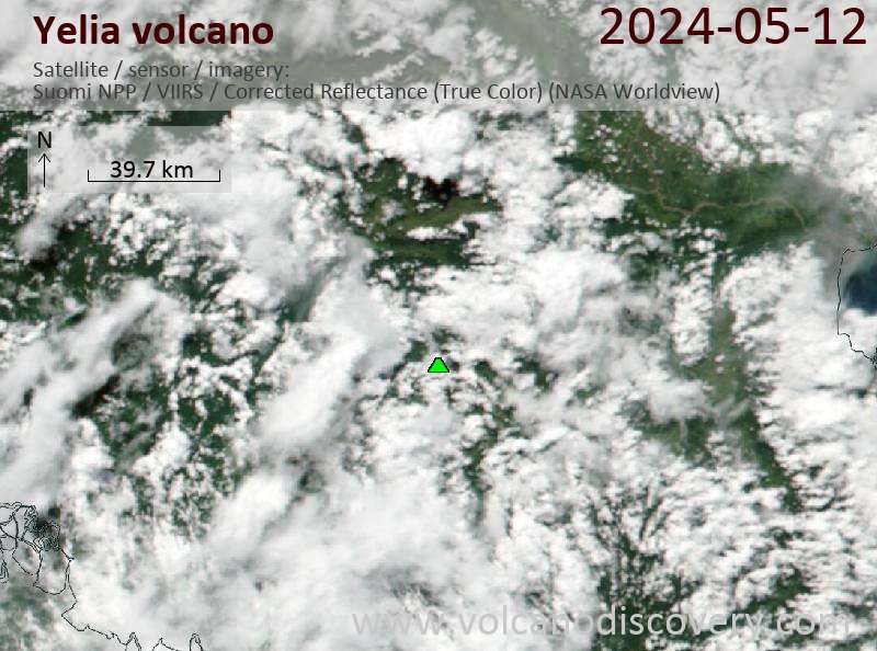
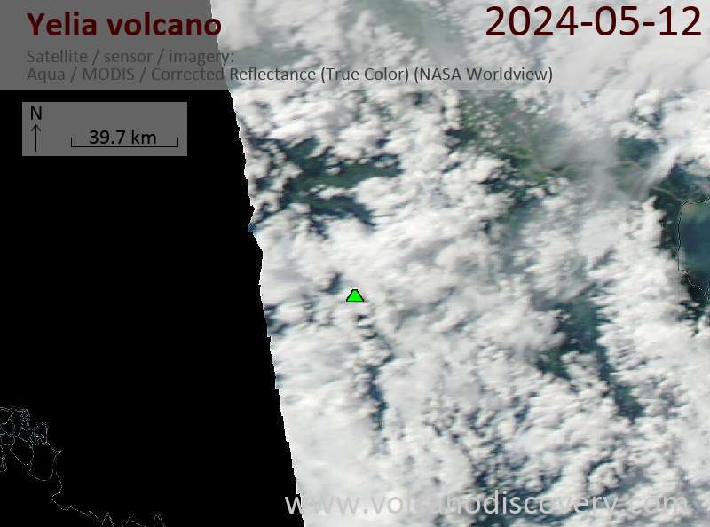
Latest satellite images

Yelia satellite image sat1Yelia satellite image sat2
Actualités

No news in this list.

Sur cette page:

Découvrez notre app gratuite !
Volcanoes & Earthquakes - new app for Android
Android | Version iOS

Plus sur VolcanoDiscovery

Why is there advertising on this site?

Support us - Help us upgrade our services!

We truly love working to bring you the latest volcano and earthquake data from around the world. Maintaining our website and our free apps does require, however, considerable time and resources.
We need financing to increase hard- and software capacity as well as support our editor team. We're aiming to achieve uninterrupted service wherever an earthquake or volcano eruption unfolds, and your donations can make it happen! Every donation will be highly appreciated. If you find the information useful and would like to support our team in integrating further features, write great content, and in upgrading our soft- and hardware, please make a donation (PayPal or Online credit card payment).

Planned features:Thanks to your past donations, these features have been added recently:
Download and Upgrade the Volcanoes & Earthquakes app to get one of the fastest seismic and volcano alerts online:
Android | IOS
Thank you!
Copyright: VolcanoDiscovery ou autres sources indiquées.
Utilisation des documents: Les textes, les images et les vidéos de ce site internet sont protégées par copyright. Toute reproduction et tout usage sans accord préalable ne sont pas autorisés. Si vous désirez acquérir pour certains documents (photos, vidéos, textes ou autres) le droit de reproduction, d'édition et, plus généralement, de toute utilisation destinée à un usage public, qu'elle soit commerciale ou pas, vous êtes priés de nous contacter.
Volcanoes & Earthquakes
VolcanoDiscovery Home
Volcans | Séismes | Photos | Actualités | App
Adventure & Study Travel
Tours to Volcanoes and Volcanic Areas: walking tours, photo tours, study tours
Voyages |
Get our newsletter!
Company info
Contact | Mentions légales | Terms & conditions
Follow us
Follow us on facebook Follow us on Instagram Follow us on Twitter Visit our Youtube channel
EN | DE | EL | ES | FR | IT | RU
VolcanoDiscovery GmbH, Germany, Reg. nr.: HRB 103744, EU Tax Id: DE 297 465 123 owned and created by
Dr. Tom Pfeiffer, volcanologist, volcano photographer, tour organizer member of
IAVCEI
IAVCEI
Vulkanologische Gesellschaft
Volcanological Society
Ecotourism Greece
Ecotourism Greece
RUV insurance
Insured by R+V
VolcanoDiscovery © 2004- All Rights Reserved | Privacy - Changer Préférences