


Gedamsa Volcano
Updated: Oct 18, 2025 23:32 GMT -
Caldera
Ethiopia, 8.35°N / 39.18°E 
Summit height: 1984 m / 6,509 ft
Current status: normal or dormant (1 out of 5)
[smaller] [larger]
Gedamsa volcano eruptions: unknown, no recent eruptions
Latest nearby earthquakes
| Date and Time | Mag / Depth | Distance / Location | |||
|---|---|---|---|---|---|
Background
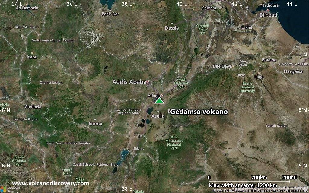
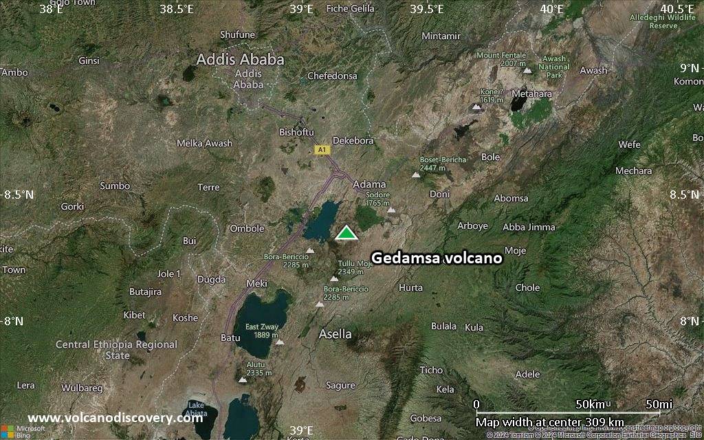
The Gedamsa caldera is located along the Main Ethiopian Rift east of Lake Koka and SW of the Wonji Sugar Estate Farm. The 7 x 9 km wide caldera (also spelled Gadamsa or Gedemsa) is cut by many NNE-SSW-trending regional faults of the Ethiopian Rift, particularly on the east side of the caldera. The caldera is steep-sided, with 100-200 m high walls whose upper part consists primarily of rhyolitic lava flows, and formed as a result of the eruption of a series of trachytic ignimbrites. Late-Pleistocene to Holocene volcanics form a chain of rhyolitic lava flows and pumice deposits, known as Ittisa, that rises about 200-250 m above the floor of the caldera. A large 1-km-wide crater is located at the eastern part of the chain. A Holocene lava dome or flow is found on the SW flank of the volcano. Regional faults have truncated the volcano, and small basaltic spatter cones have formed inside the caldera rim. Weak fumarolic activity was reported at two locations at Gedamsa.---
Smithsonian / GVP volcano information
Latest satellite images

Gedamsa Volcano Maps
Below is a selection of maps showing the location and surroundings of the volcano at various resolutions based on aerial-imagery / terrain maps. Feel free to use them for non-commercial purposes on your blog or website as long as you credit them with a link back to this page (click to copy it).
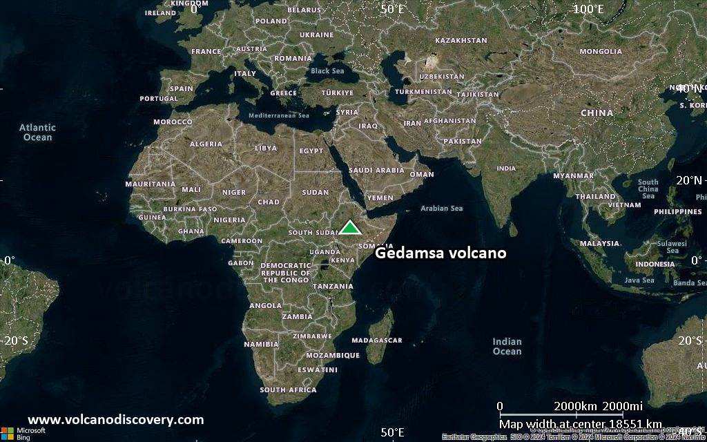
Satellite/aerial-type map of Gedamsa volcano (world scale)
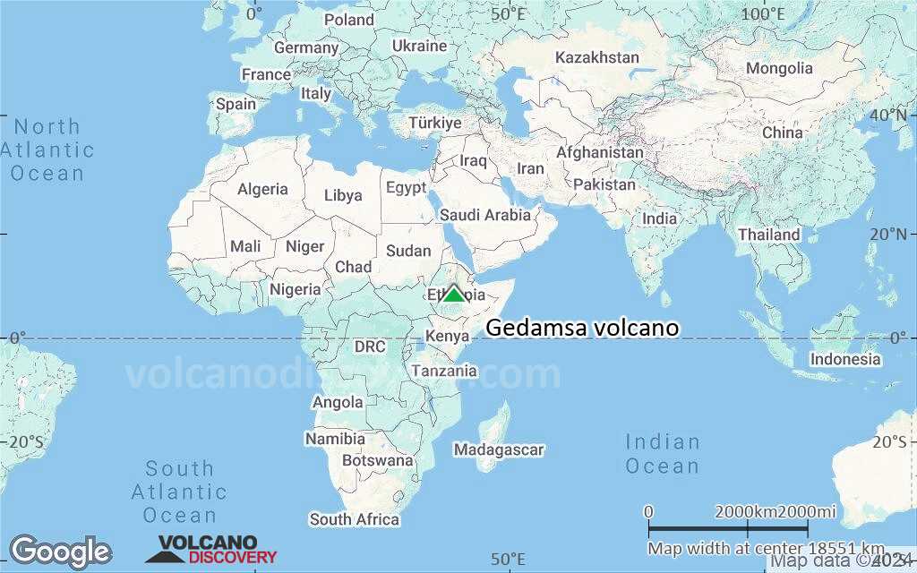
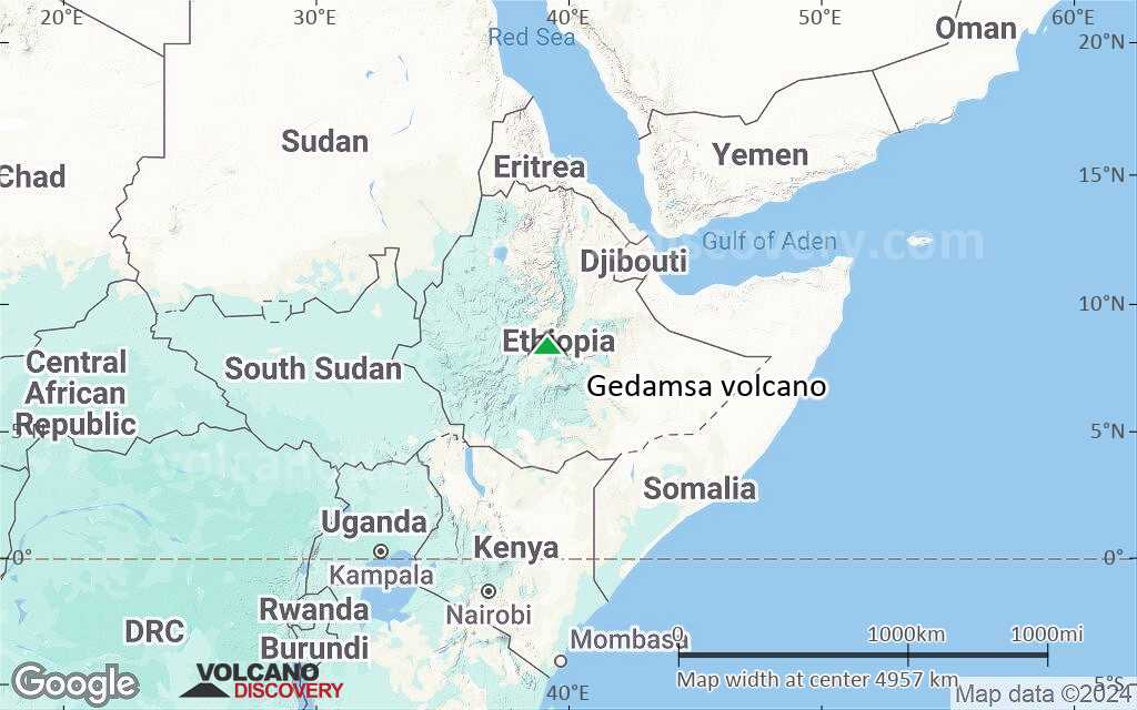
Terrain-type map of Gedamsa volcano (world scale)
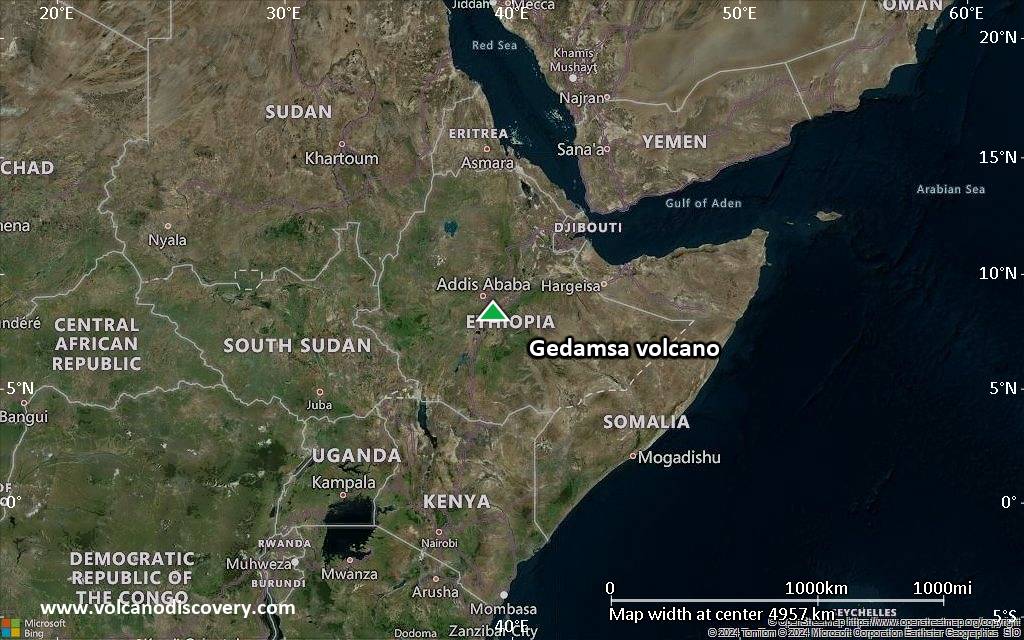
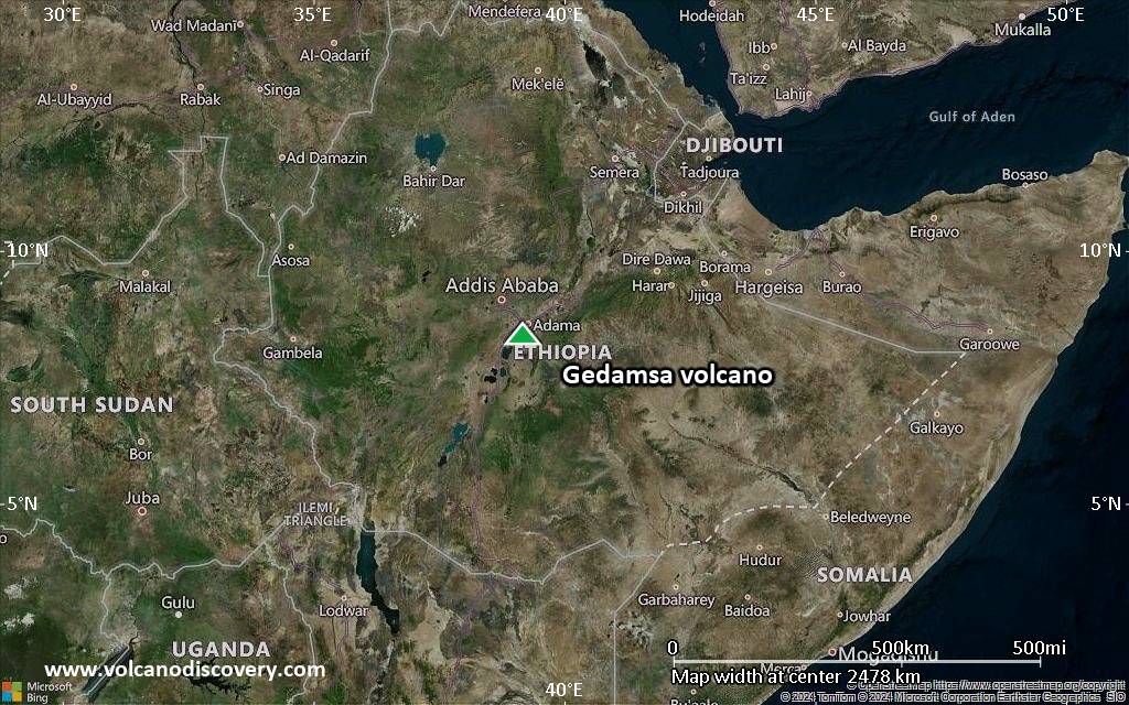
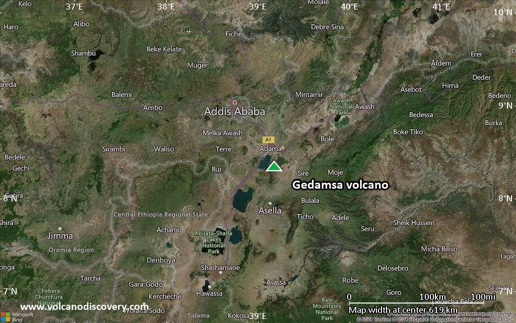
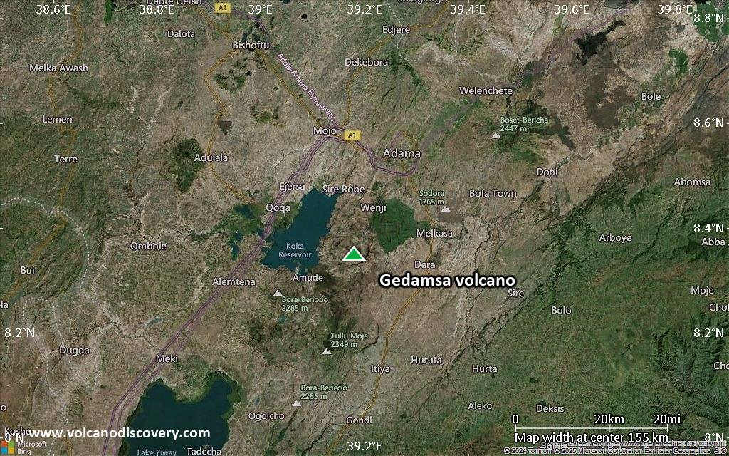
Satellite/aerial-type map of Gedamsa volcano (region scale large)
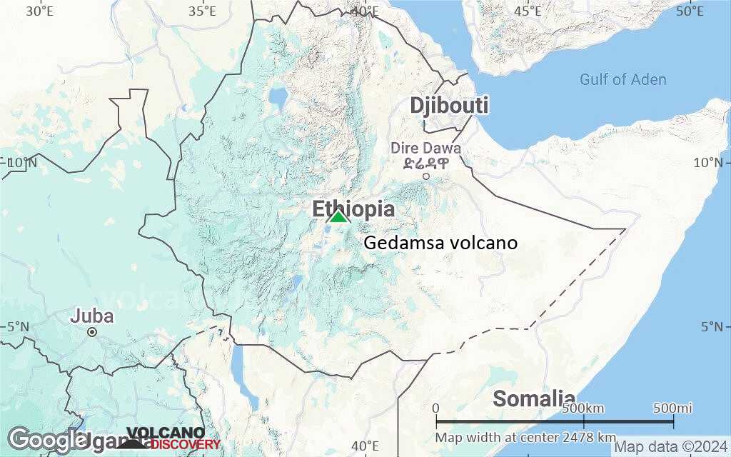
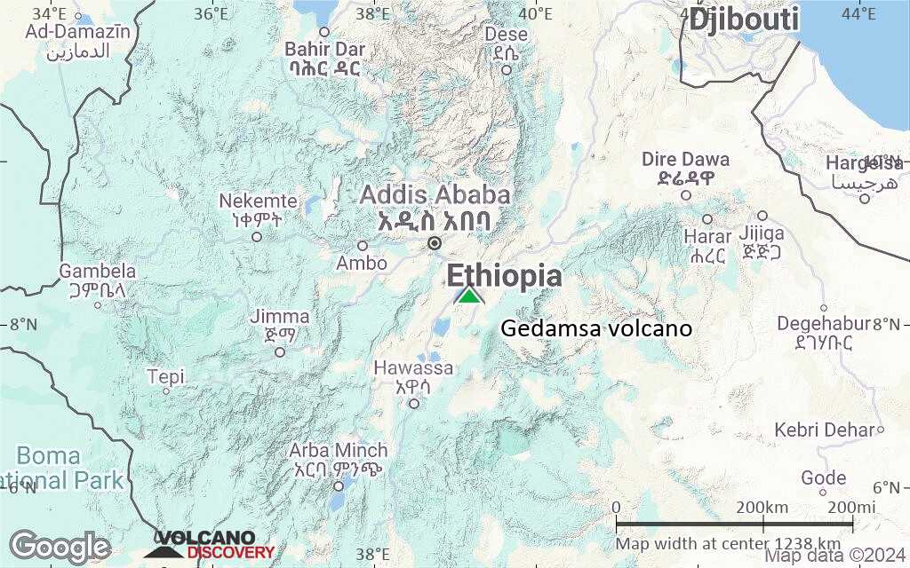
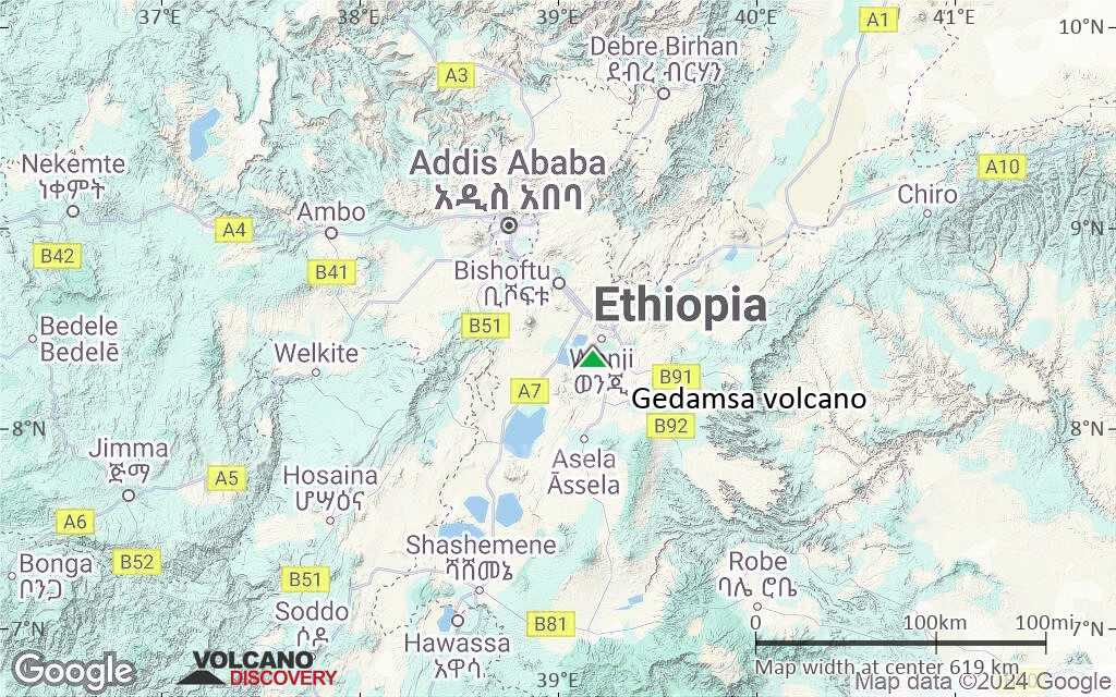
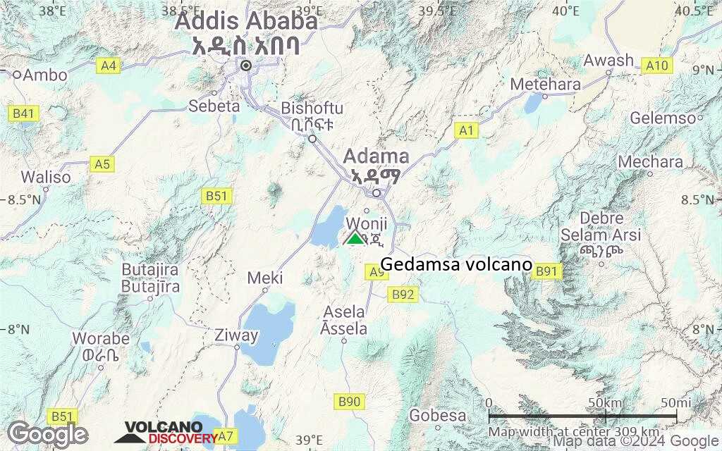
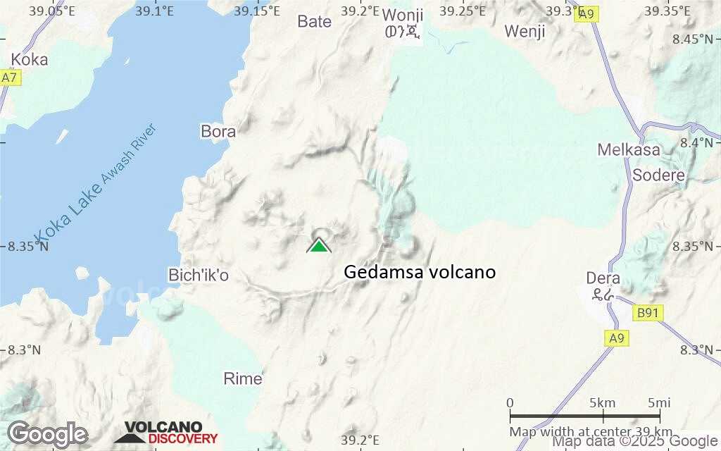
Terrain-type map of Gedamsa volcano (region scale large)
Satellite/aerial-type map of Gedamsa volcano (region scale medium)
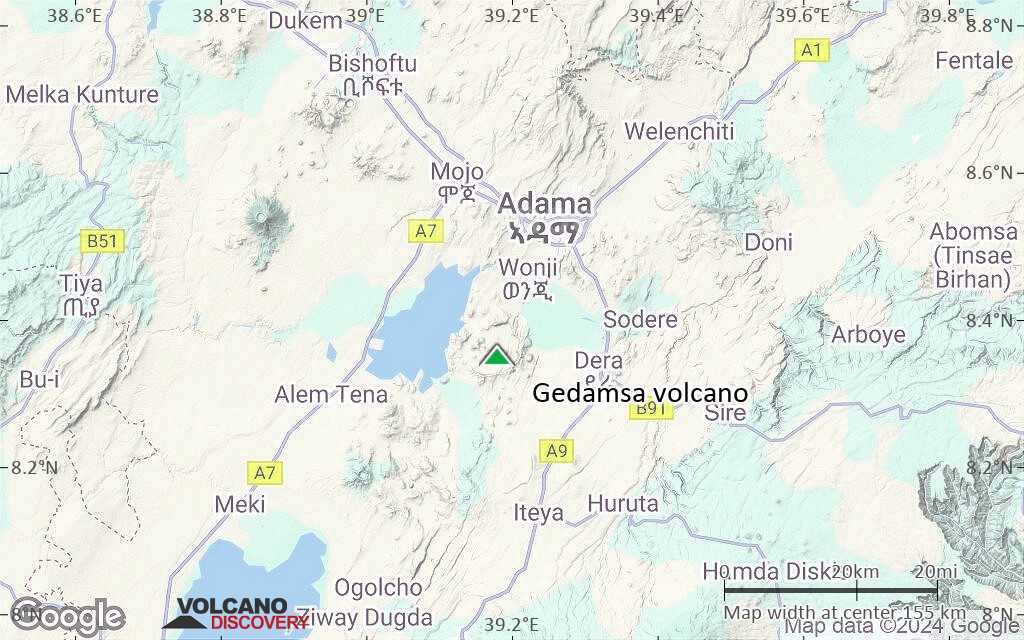
Terrain-type map of Gedamsa volcano (region scale medium)
Satellite/aerial-type map of Gedamsa volcano (region scale small)
Terrain-type map of Gedamsa volcano (region scale small)
Satellite/aerial-type map of Gedamsa volcano (local scale large)
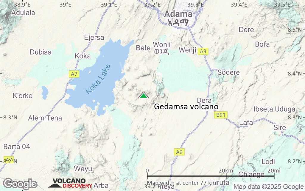
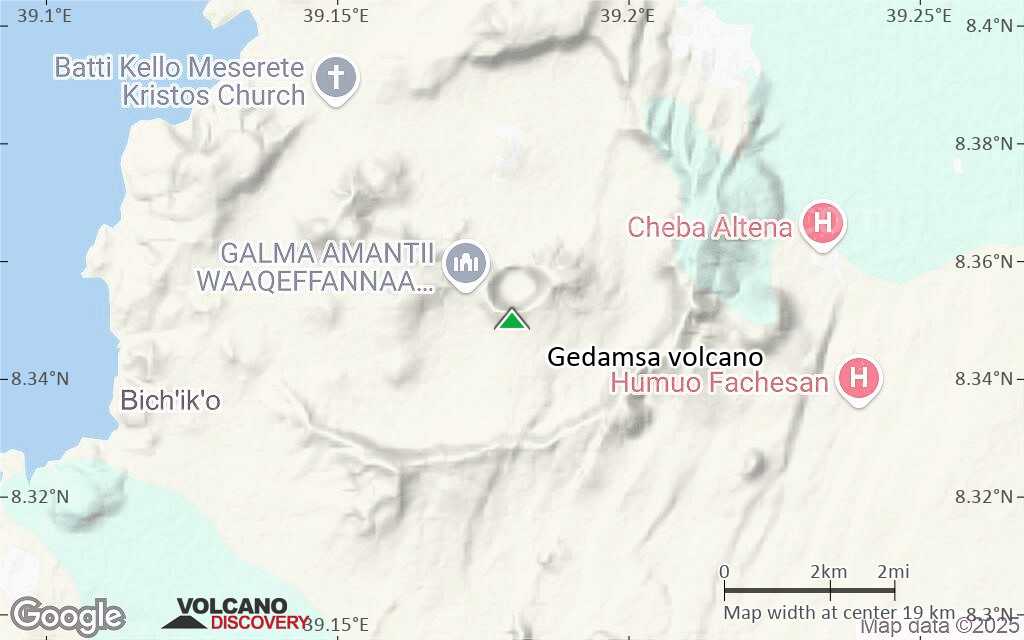
Terrain-type map of Gedamsa volcano (local scale large)
Satellite/aerial-type map of Gedamsa volcano (local scale medium)
Terrain-type map of Gedamsa volcano (local scale medium)
Satellite/aerial-type map of Gedamsa volcano (local scale small)
Terrain-type map of Gedamsa volcano (local scale small)

Satellite/aerial-type map of Gedamsa volcano (scale of 10s of km)
Terrain-type map of Gedamsa volcano (scale of 10s of km)

Satellite/aerial-type map of Gedamsa volcano (scale of 20-40 km)
Terrain-type map of Gedamsa volcano (scale of 20-40 km)

Satellite/aerial-type map of Gedamsa volcano (scale of approx. 10-20 km)
Terrain-type map of Gedamsa volcano (scale of approx. 10-20 km)
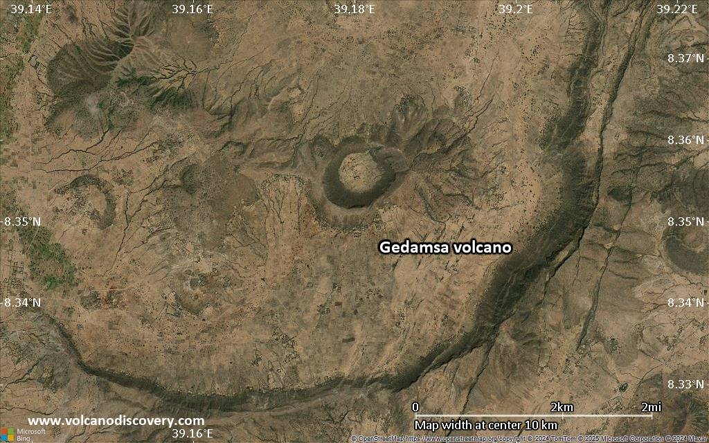
Satellite/aerial-type map of Gedamsa volcano (scale of 5-10 km)

Satellite/aerial-type map of Gedamsa volcano (scale of few kilometers)


