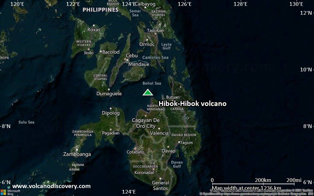
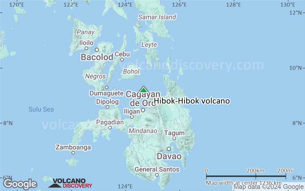
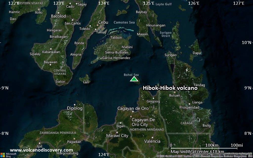
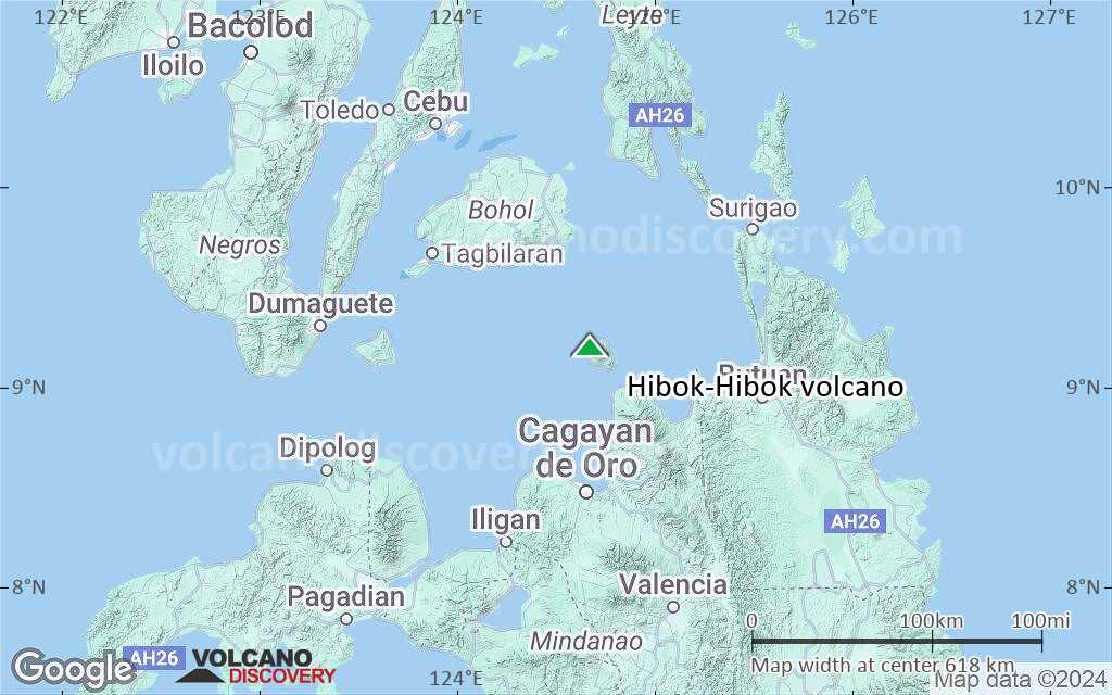
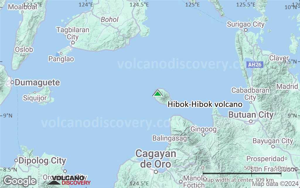
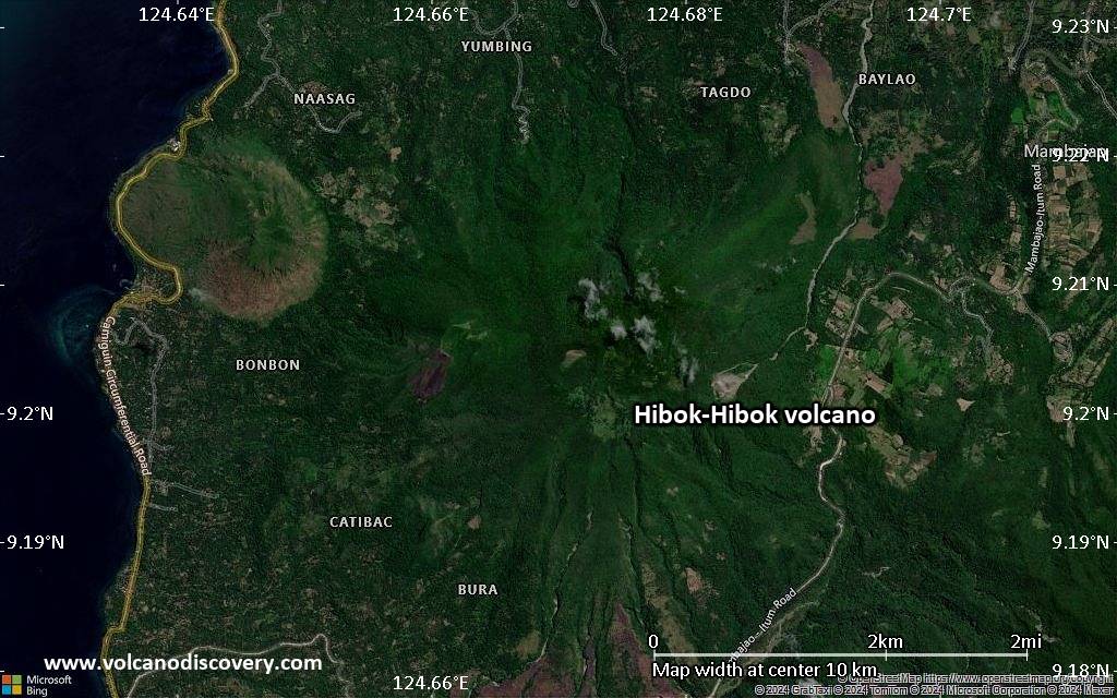
| RSS | EN | DE | EL | ES | FR | IT | RU

Hibok-Hibok Volcano

Updated: Jun 12, 2025 01:38 GMT -
stratovolcano
Mindanao (Philippines), 9.2°N / 124.67°E
Summit height: 1552 m / 5,092 ft
Current status: normal or dormant (1 out of 5)

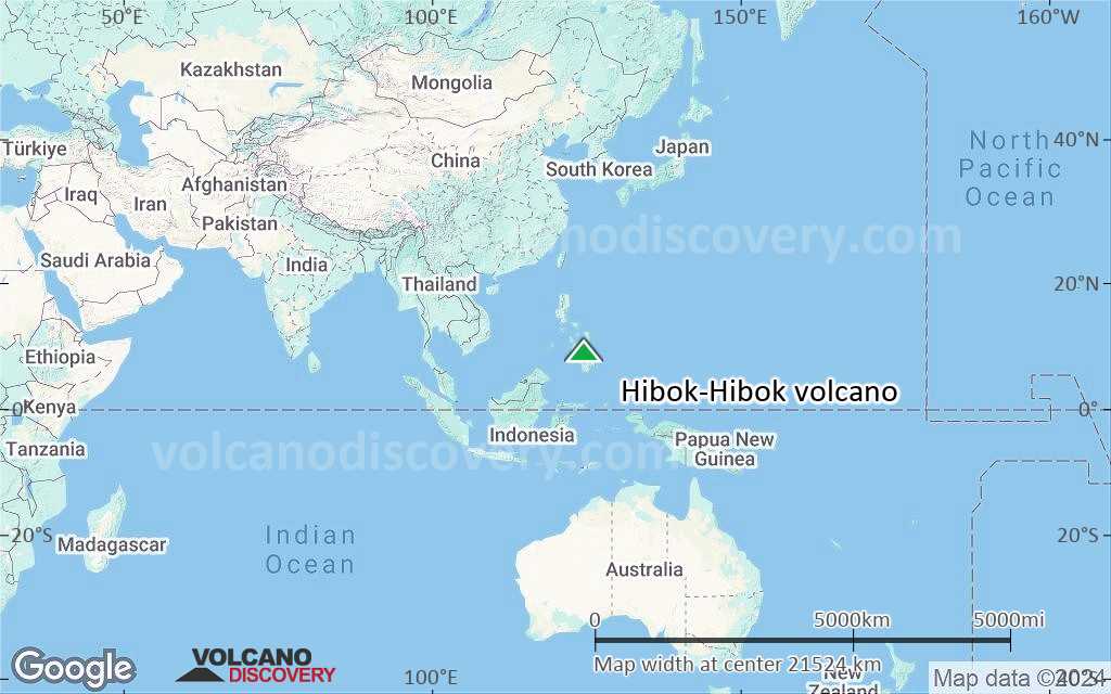
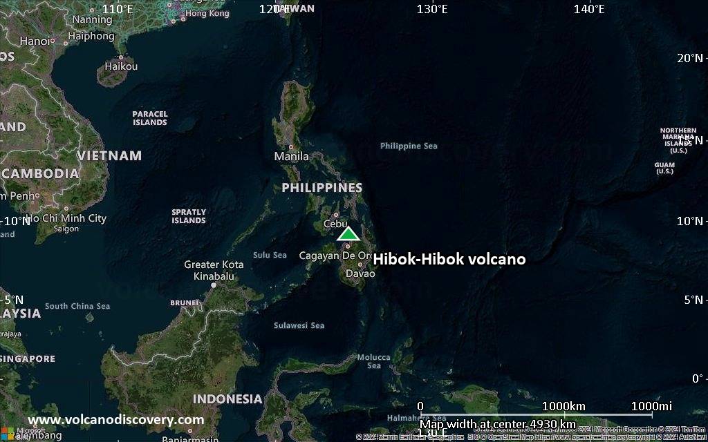
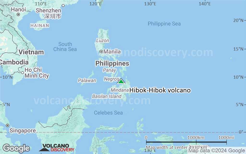
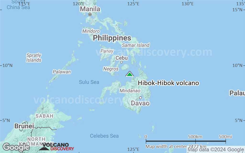
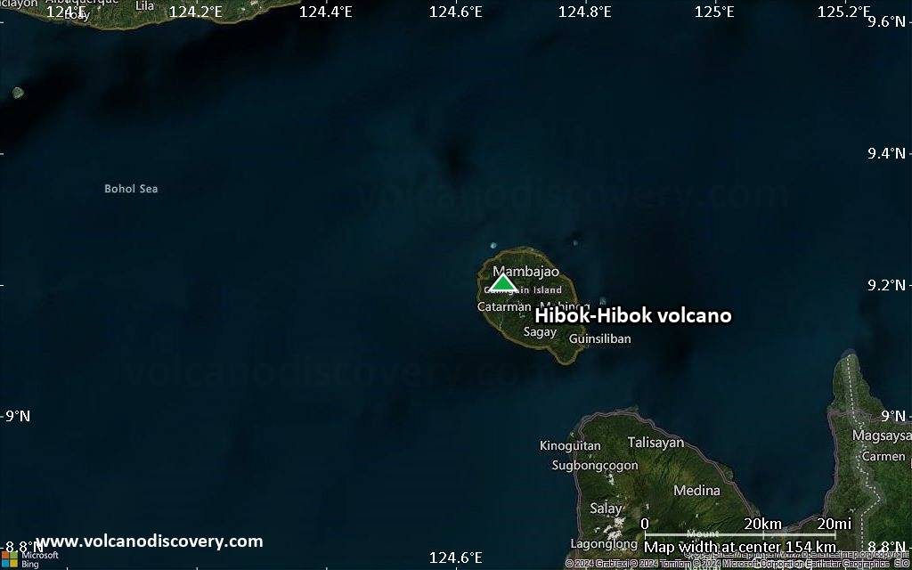
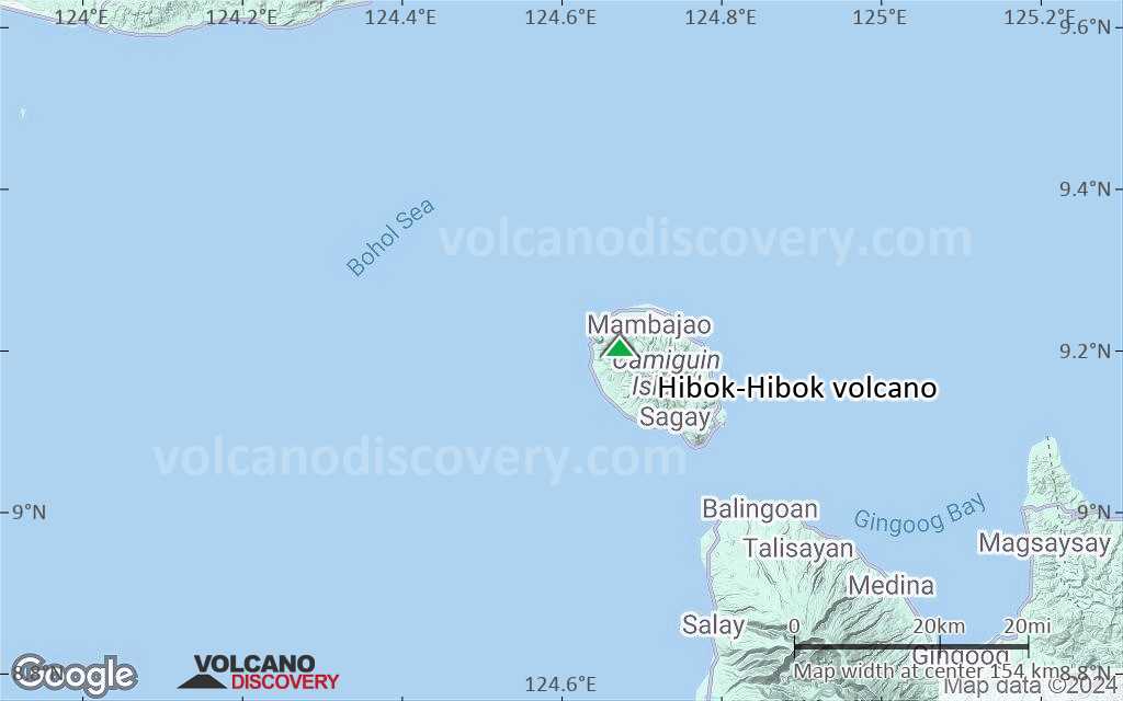
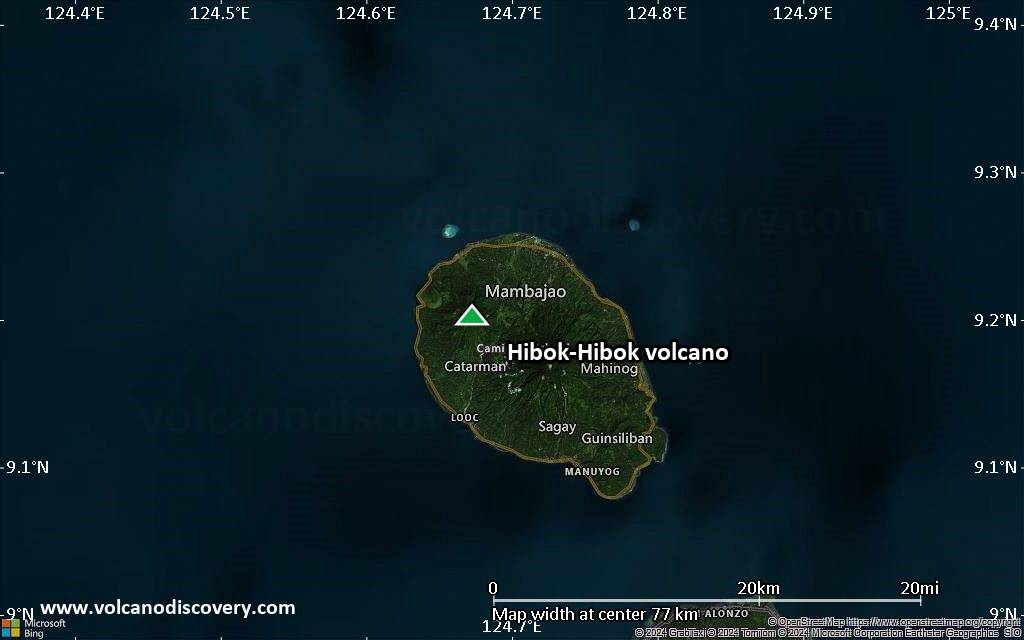
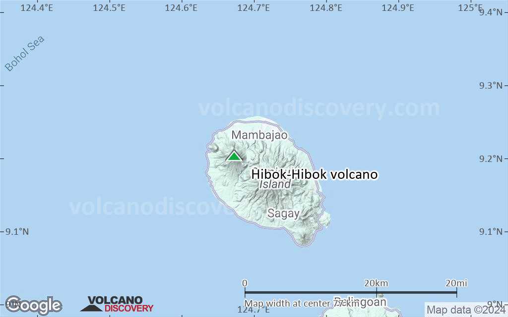
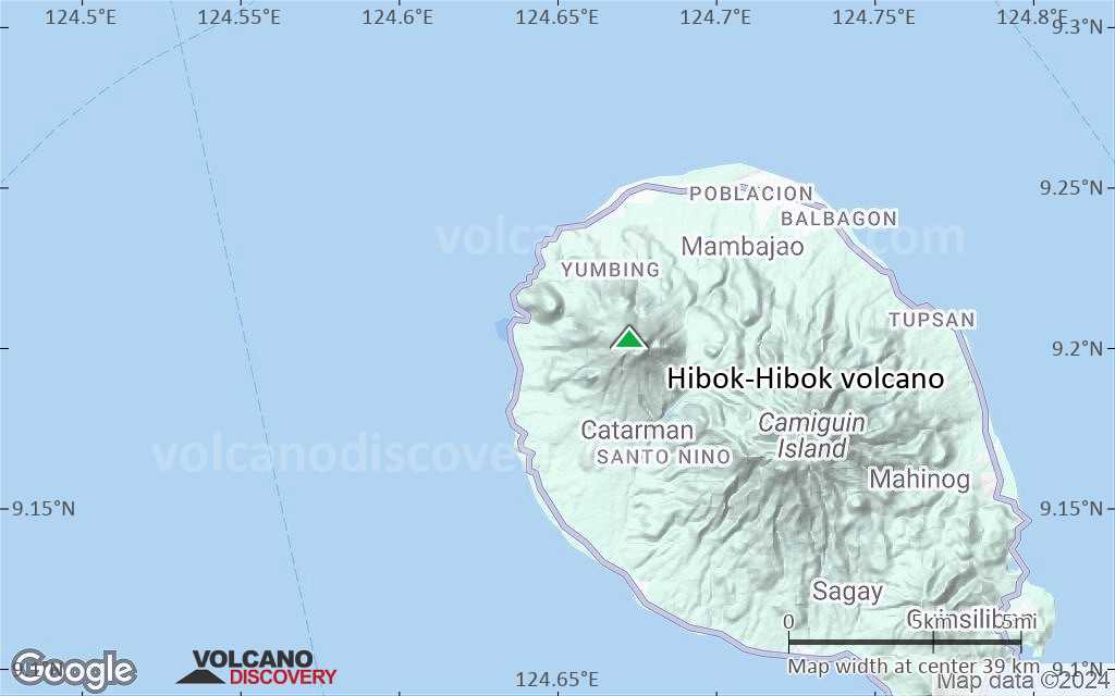
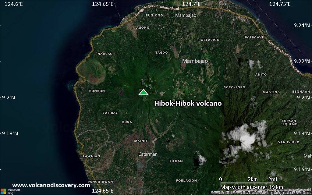
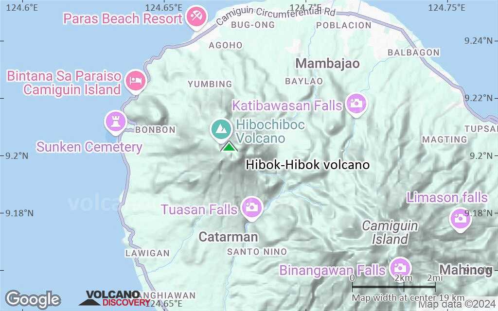
Hibok-Hibok volcano (also known as Catarman volcano) is the youngest and the only historically active volcano on Camiguin Island, which is located 9 km off the north coast of Mindanao Island, Philippines.
Camiguin island itself is a 292 sq km oblate, 20 km long island composed of 4 overlapping stratovolcanoes and some flank cones.
Eruptions of Hibok-Hibok volcano are often Pelean-type, i.e. dome building and the generation of nuées ardentes (= hot pyroclastic flows generated by partial dome collapse).
Prior to the 1948 eruption, sulfur was mined at the crater of Hibok-Hibok.

Note: A volcanic Island called Camiguin de Babuyanes is located north of Luzon Island.

[smaller] [larger]
Typical eruption style: explosive
Hibok-Hibok volcano eruptions: 1948-53, 1871-75, 1862, 1827

Latest nearby earthquakes

Date and TimeMag / DepthDistance / Location

Background

Geologic history of Camiguin Island and its volcanoes
The Camiguin volcanoes formed on an NW-SE trend, roughly parallel to the Central Mindanao Arc, with the active vents migrating from SE to NW over time. The earliest eruption center was from Camiguin Tanda volcano, now buried on the floor of the Bohol Sea. Later volcanic activity formed the now eroded Mt Butay and Ginsiliba stratovolcanoes on the SE tip of Camiguin Island, as well as the Binone cinder cone on the SE coast.
Mt. Mambajao volcano in the center forms the highest peak of Camiguin Island. Its fresh-looking shape including a summit and flank lava domes suggests a relatively age, but there are no known historic eruptions. One of its flank domes partially fills a crater breached to the NW.
Young Hibok-Hibok lies in the NW of the island about 6 km NW of Mt. Mambajao. It is andesitic-to-rhyolitic in composition and contains several lava domes, including Mt. Vulcan on its NW flank. Major eruptions during 1871-75 and 1948-53 formed flank lava domes and produced pyroclastic flows that devastated villages at the coast.

Significant volcanic eruptions: Hibok-Hibok volcano

In the past 10,000 years, Hibok-Hibok has had at least 4 confirmed eruptions, all documented by historical records or observations.
Additionally, there are 2 uncertain or discredited eruptions from Hibok-Hibok volcano.
The table below lists all known eruptions (date in bold face) of Hibok-Hibok volcano in historic times and during the past 10,000 years. Updates on the most recent volcanic activity of Hibok-Hibok can be found on the news page of Hibok-Hibok volcano.
DateNoteVEIDeathsDamage
1954
(eruptive episode 1954)
Historical obs./docs.
02
Info
1948 Sep 1 - 1953 Jul 16 ±15 d.Upper NE flank of Hibok-Hibok
Historical obs./docs.
3
1951 Dec 4
(eruption 1948 Sep 1 - 1953 Jul 16 ±15 d.)
Historical obs./docs.
3500
Info
1950 Sep 15
(eruption 1948 Sep 1 - 1953 Jul 16 ±15 d.)
Historical obs./docs.
368
Info
1949 Jun
(eruption 1948 Sep 1 - 1953 Jul 16 ±15 d.)
Historical obs./docs.
32
Info
1902 Jul 27
Discredited Eruption
1897
Discredited Eruption
1871 Apr 30 - 1875Lower NW flank of Hibok-Hibok (Mt. Vulcan)
Historical obs./docs.
2
1871 Apr 30
(eruption 1871 Apr 30 - 1875)
Tsunami recorded
Historical obs./docs.
21-50 (*)
heavy
Info
1862Hibok-Hibok
Historical obs./docs.
2
1827Hibok-Hibok
Historical obs./docs.
2
(*) Estimated numbers
Remark:
Our list of volcanic eruptions closely follows the database of eruptions of the Smithsonian's Global Volcanism Project (GVP), the internationally most recognized data source for volcanic eruptions, but also includes significant eruptive episodes or related volcano events. "Volcanic eruptions" are usually to be understood as sequences of individual eruptive episodes that can follow each other, or even overlap (if several vents are involved), and can last many years, decades or even longer. For example, the current activity of Stromboli volcano is understood as a single eruption that has been ongoing since 1934.
Sources: NOAA National Centers for Environmental Information (NCEI), Global Significant Volcanic Eruptions Database. doi:10.7289/V5TD9V7K | Global Volcanism Project / Smithsonian Institution

Eruptions of Hibok-Hibok volcano


1948-1953 eruption of Hibok-Hibok volcano
A significant eruption started on 1 September 1948. A large explosion from the summit crater of Hibok-Hibok volcano, preceded by a week of intense earthquakes. The explosion created a cauliflower-shaped eruption plume and produced devastating pyroclastic flows and lahars down the NE side of the volcano. 8 suare km land were invaded and destroyed. In May 1949, a new lava dome started to grow in the crater.
The new lava dome continued to grow during the next 2 years dome and had become a prominent feature by late 1951. On 4 December 1951 pyroclastic flows went down the NE flank of the mountain and reached the outskirts of Mambajao town where 500 people were killed.
Large amounts of pumice and ash were found in the deposits, indicating that these pyroclastic flows were generated primarily by the explosion of fresh magma rather than dome collapse.
---
Source: Gordon A. Macdonald and Arturo Alcaraz (1956) "Nuées ardentes of the 1948–1953 eruption of Hibok-Hibok", Bull. Volc, v.18(1), pp 169-178

Hibok-Hibok Volcano FAQ

+When was the last eruption of Hibok-Hibok volcano?

+How often does Hibok-Hibok volcano erupt?

+How active is Hibok-Hibok volcano at present?

+When was the largest eruption of Hibok-Hibok volcano?

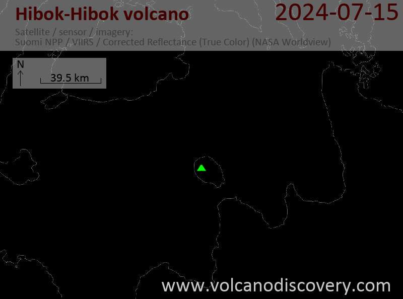
Latest satellite images

HibokHibok satellite image sat1HibokHibok satellite image sat2

Hibok-Hibok Volcano Maps

Below is a selection of maps showing the location and surroundings of the volcano at various resolutions based on aerial-imagery / terrain maps. Feel free to use them for non-commercial purposes on your blog or website as long as you credit them with a link back to this page (click to copy it).
Satellite/aerial-type map of Hibok-Hibok volcano (world scale)
Terrain-type map of Hibok-Hibok volcano (world scale)
Satellite/aerial-type map of Hibok-Hibok volcano (region scale large)
Terrain-type map of Hibok-Hibok volcano (region scale large)
Satellite/aerial-type map of Hibok-Hibok volcano (region scale medium)
Terrain-type map of Hibok-Hibok volcano (region scale medium)
Satellite/aerial-type map of Hibok-Hibok volcano (region scale small)
Terrain-type map of Hibok-Hibok volcano (region scale small)
Satellite/aerial-type map of Hibok-Hibok volcano (local scale large)
Terrain-type map of Hibok-Hibok volcano (local scale large)
Satellite/aerial-type map of Hibok-Hibok volcano (local scale medium)
Terrain-type map of Hibok-Hibok volcano (local scale medium)
Satellite/aerial-type map of Hibok-Hibok volcano (local scale small)
Terrain-type map of Hibok-Hibok volcano (local scale small)
Satellite/aerial-type map of Hibok-Hibok volcano (scale of 10s of km)
Terrain-type map of Hibok-Hibok volcano (scale of 10s of km)
Satellite/aerial-type map of Hibok-Hibok volcano (scale of 20-40 km)
Terrain-type map of Hibok-Hibok volcano (scale of 20-40 km)
Satellite/aerial-type map of Hibok-Hibok volcano (scale of approx. 10-20 km)
Terrain-type map of Hibok-Hibok volcano (scale of approx. 10-20 km)
Satellite/aerial-type map of Hibok-Hibok volcano (scale of 5-10 km)
Satellite/aerial-type map of Hibok-Hibok volcano (scale of few kilometers)
Volcanoes & Earthquakes - new app for Android
Guaranteed tours
1-17 Aug 2025: Volcanoes and Spices - Sulawesi/Halmahera (Indonesia)
1-14 Oct 2025: Desert, salt and volcanoes - Danakil desert (Ethiopia)
4-12 Oct 2025: From Stromboli to Etna - Sicily and Eolian Islands (Italy)
6-21 Oct 2025: From Krakatau to Bali - Java (Indonesia)
3-19 Nov 2025: Volcanoes and Spices - Sulawesi/Halmahera (Indonesia)
= spaces available   = guaranteed   = few spaces left   = booked out

No news in this list.

On this page:

Try our free app!
Volcanoes & Earthquakes - new app for Android
Android | iOS version

More on VolcanoDiscovery

Why is there advertising on this site?

Support us - Help us upgrade our services!

We truly love working to bring you the latest volcano and earthquake data from around the world. Maintaining our website and our free apps does require, however, considerable time and resources.
We need financing to increase hard- and software capacity as well as support our editor team. We're aiming to achieve uninterrupted service wherever an earthquake or volcano eruption unfolds, and your donations can make it happen! Every donation will be highly appreciated. If you find the information useful and would like to support our team in integrating further features, write great content, and in upgrading our soft- and hardware, please make a donation (PayPal).

Planned features:Thanks to your past donations, these features have been added recently:
Download and Upgrade the Volcanoes & Earthquakes app to get one of the fastest seismic and volcano alerts online:
Android | IOS
Thank you!
Sources: VolcanoDiscovery / VolcanoAdventures and other sources as noted.
Use of material: Most text and images on our websites are owned by us. Re-use is generally not permitted without authorization. Contact us for licensing rights.
Volcanoes & Earthquakes
VolcanoDiscovery Home
Volcanoes | Earthquakes | Photos | Volcano News | | Shop | App
Adventure & Study Travel
Tours to Volcanoes and Volcanic Areas: walking tours, photo tours, study tours
Tours & Dates | FAQ | About us
Get our newsletter!
Company info
Contact | Legal info | Terms & conditions
Follow us
Follow us on facebook Follow us on Instagram Follow us on Bluesky Follow us on Twitter Visit our Youtube channel
EN | DE | EL | ES | FR | IT | RU
VolcanoDiscovery GmbH, Germany, Reg. nr.: HRB 103744, EU Tax Id: DE 297 465 123 owned and created by
Dr. Tom Pfeiffer, volcanologist, volcano photographer, tour organizer member of
IAVCEI
IAVCEI
Vulkanologische Gesellschaft
Volcanological Society
Ecotourism Greece
Ecotourism Greece
RUV insurance
Insured by R+V
VolcanoDiscovery © 2004- All Rights Reserved | Privacy - Cookie Settings