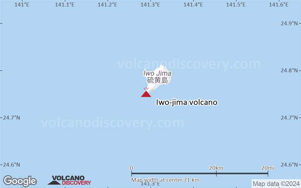
| RSS | EN | DE | EL | ES | FR | IT | RU

Iwo-jima Volcano

Updated: Jun 12, 2025 17:30 GMT -
caldera
Volcano Islands (Japan), 24.75°N / 141.29°E
Summit height: 161 m / 528 ft
Current status: erupting (4 out of 5)
Last update: 21 Jul 2024 (new submarine eruption)

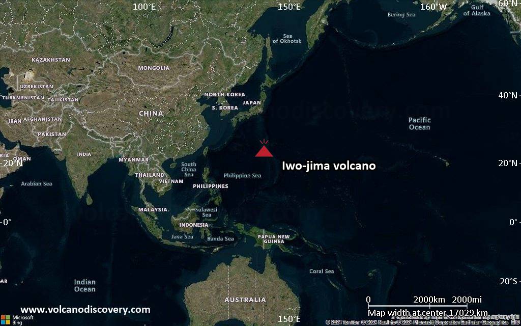
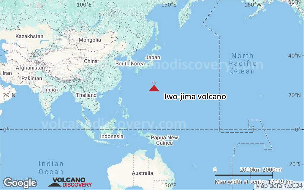
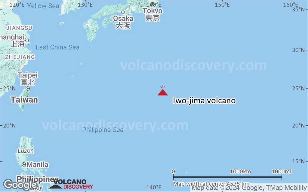
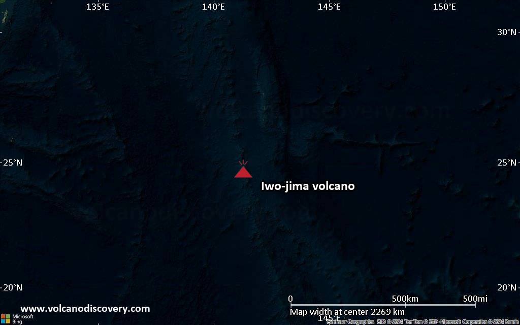
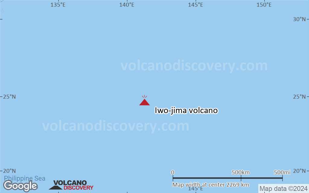
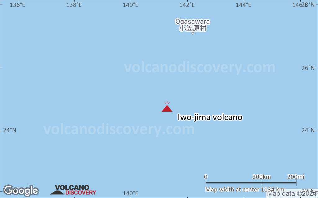
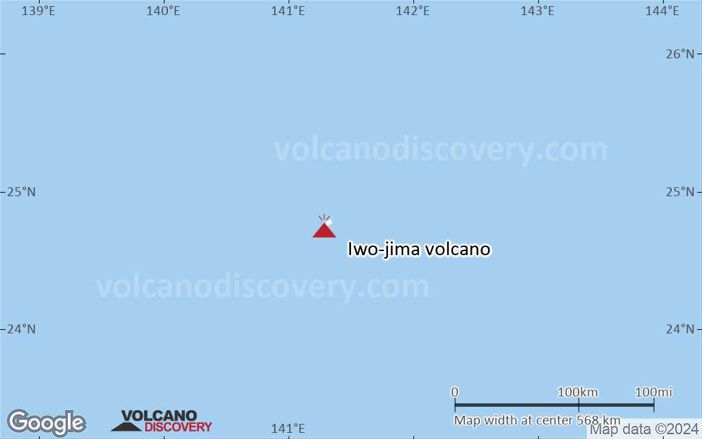
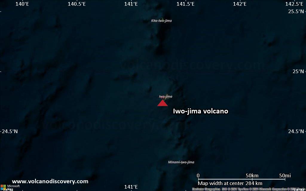
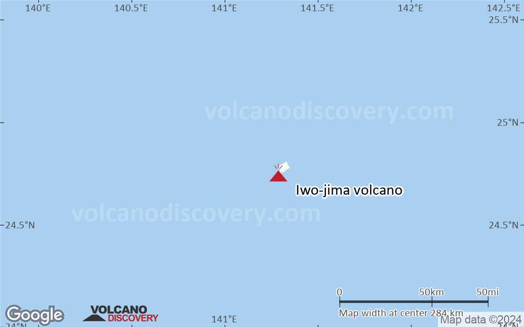
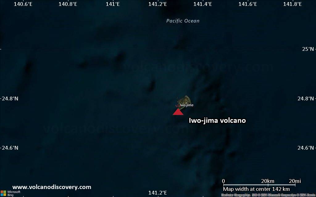
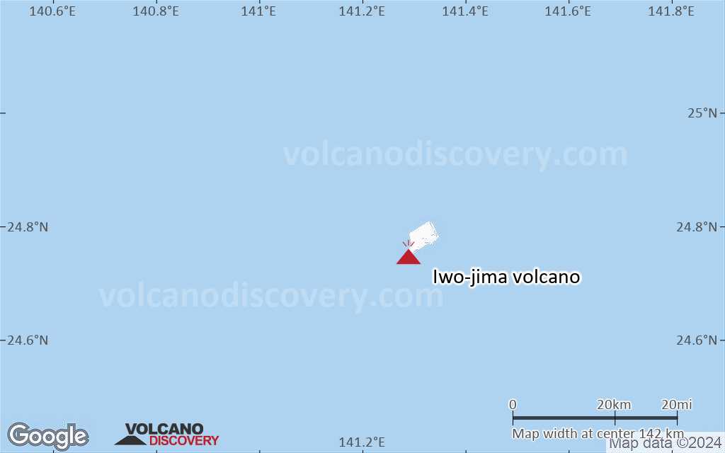
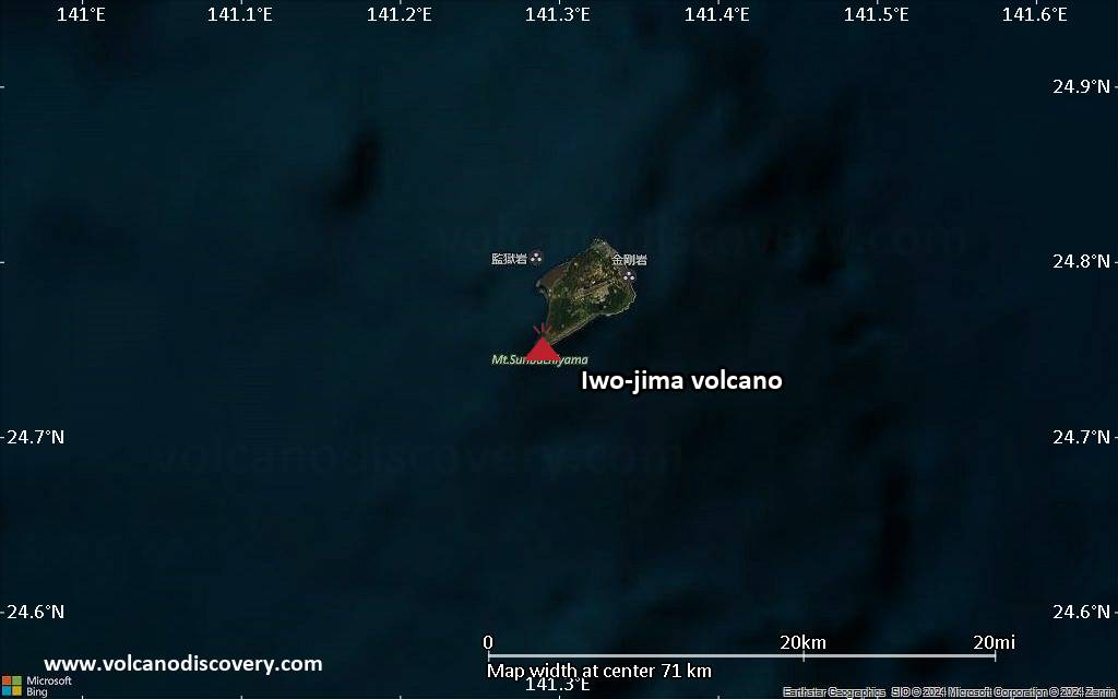
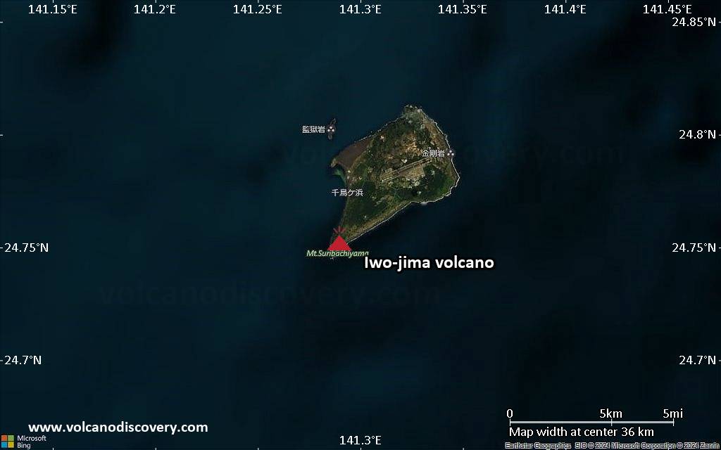
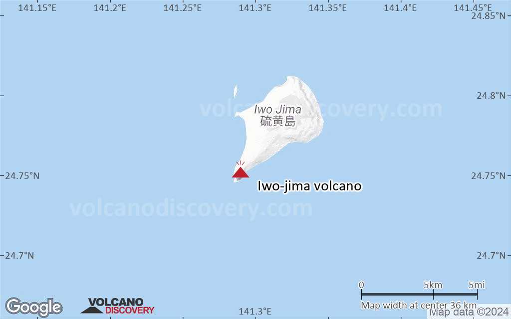
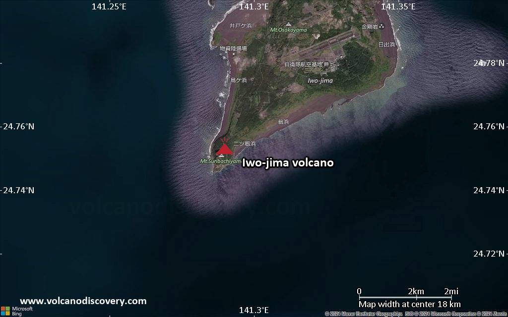
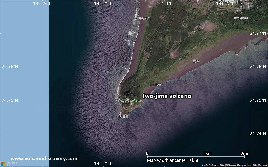
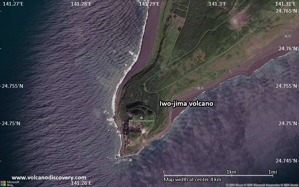
Ioto (硫黄島, also known as Iwo-jima) volcano is a triangular-shaped, flat, 8 km long and up to 4.5 wide volcanic island stretching NE-SW. It is surrounded by steep cliffs under the sea, which belong to a 9-km-wide submarine caldera. The volcano is located 1250 km south of Tokyo in the central Volcano Islands of the Izu-Marianas arc.
The summit of Iwo-jima is Suribachi-yama at 160 m.
Parts of the caldera have been experiencing remarkably strong uplift (up to more than 1 meter per year and averaging 25 cm / year over several centuries). There is strong hydrothermal activity at present, at fumaroles along a NE-SW zone cutting through Moto-yama. Many phreatic eruptions occurred in historic times, mostly from vents on the west and NW sides of the island.
Iwo-jima was the site of an infamous WWII battle, and the location of a famous image of the raised US flag.

[smaller] [larger]
Typical eruption style: explosive
Iwo-jima volcano eruptions: 2012, 2001, 1982, 1980, 1978, 1976, 1974 (?), 1969 (?), 1967, 1957, 1943

Latest nearby earthquakes

Date and TimeMag / DepthDistance / Location

Background

Ioto, Iwo-jima, and Io-jima are among many spellings of the same name, which means "Sulfur Island", as many other volcanic islands in Japan. Another name, to distinguish it better is Ogasawara Io-jima.
Ioto volcano has produced trachyandesitic and trachytic lavas that are more alkalic than those of other Izu-Marianas arc volcanoes.
The island has undergone dramatic uplift for at least the past 700 years caused by resurgent doming of the caldera. A shoreline landed upon by Captain Cook's surveying crew in 1779 is now 40 m above sea level. The Moto-yama plateau on the NE half of the island consists of submarine tuffs overlain by coral deposits and forms the island's high point.
During 1911 to 1952, uplift was 11 cm per year and reached 33 cm per year between 1952 and 1968. More recent studies show that the center of the Iwo-jima caldera is experiencing subsidence while the surrounding areas are uplifted.
---
Sources:
- Smithsonian / GVP volcano information
- Ukawa et al (2005) "Long-term geodetic measurements of large scale deformation at Iwo-jima caldera, Japan", Journal of Volcanology and Geothermal Research, Volume 150, Issues 1-3, Pages 98-118
- NEWHALL, C. G. & DZURISIN, D. (1988) "Historical Unrest at Large Calderas of the World", Volumes 1 & 2, USGS Bulletin 1855. x + 598 pp., v + pp. 599-1108.

Significant volcanic eruptions: Iwo-jima volcano

In the past 10,000 years, Iwo-jima has had at least 26 confirmed volcanic eruptions, out of which 25 are documented by historical records, while the others can be inferred from geological evidence.
Additionally, there are 6 uncertain or discredited eruptions from Iwo-jima volcano.
The table below lists all known eruptions (date in bold face) of Iwo-jima volcano since around 1900. Updates on the most recent volcanic activity of Iwo-jima can be found on the news page of Iwo-jima volcano.
DateNoteVEIDeathsDamage
2023 Oct 18 - 2024 Mar 16
Historical obs./docs.
1
2022 Jul 11 - Dec 11Off SE coast
Historical obs./docs.
1
2021 Aug 12 - Nov 24Off SE coast
Historical obs./docs.
1
2020 Dec 28 - 2021 Apr 5 ?Asodai Sinkhole
Historical obs./docs.
1
?? 2018 Sep 8 - Sep 14
Uncertain Eruption
Historical obs./docs.
1
2016 Aug 31 - Sep 1Asodai Sinkhole
Historical obs./docs.
1
2015 Aug 7Kianohana Beach (N part of the island)
Historical obs./docs.
1
?? 2013 Aug 21 - Aug 30
Uncertain Eruption
Historical obs./docs.
0
2012 Dec 1 - 2013 Apr 11Asodai
Historical obs./docs.
1
2012 Feb 10 - Jul 9Asodai
Historical obs./docs.
1
?? 2010 Jun 19
Uncertain Eruption
Historical obs./docs.
1
?? 2004 Jun 6 - Jun 8
Uncertain Eruption
1
2001 Sep 21 - Oct 23Off SE coast and Idogahama (NW coast)
Historical obs./docs.
1
1999 Sep 10Asodai area
Historical obs./docs.
1
1994 Aug 22NE side
Historical obs./docs.
1
?? 1993 Oct 27 ? - Nov 16 ?
Uncertain Eruption
1?
1982 Nov 28 - Dec 16 ±15 d.West side (Asodai)
Historical obs./docs.
1
1982 Mar 9 - Mar 10NW side (Idogahama beach)
Historical obs./docs.
1
1980 Mar 13Kitanohara
Historical obs./docs.
1
1978 Dec 11West side (Asodai)
Historical obs./docs.
1
1976 Jan 16 ±15 d.West side (Asodai)
Historical obs./docs.
1
?? 1974 Jan 16 ±15 d. - Feb 2
Uncertain Eruption
0
1969 Dec 1 ±30 d.
Historical obs./docs.
1
1969 Jan 12 ? - Jan 21 ?West side (Asodai)
Historical obs./docs.
1
1967 Dec 23West side (Asodai)
Historical obs./docs.
1
1957 Mar 28Chidoriga-hara
Historical obs./docs.
1
1944 DecNorth and west sides near the coast
Historical obs./docs.
1
1935SW side at Chidoriga-hara
Historical obs./docs.
1
1930 ?NW side near the coast
Historical obs./docs.
1
1922 JulWest side (Asodai)
Historical obs./docs.
1
Remark:
Our list of volcanic eruptions closely follows the database of eruptions of the Smithsonian's Global Volcanism Project (GVP), the internationally most recognized data source for volcanic eruptions, but also includes significant eruptive episodes or related volcano events. "Volcanic eruptions" are usually to be understood as sequences of individual eruptive episodes that can follow each other, or even overlap (if several vents are involved), and can last many years, decades or even longer. For example, the current activity of Stromboli volcano is understood as a single eruption that has been ongoing since 1934.
Sources: NOAA National Centers for Environmental Information (NCEI), Global Significant Volcanic Eruptions Database. doi:10.7289/V5TD9V7K | Global Volcanism Project / Smithsonian Institution

Eruptions of Iwo-jima volcano


2001 eruption
A submarine eruption occurred from 3 vents SE of Iwo-jima volcano on 21 September 2001. The activity built 10 m diameter pyroclastic cone on that day. Until 19 October, there was no further activity, but on 19 October a small phreatic eruption occurred at Idogahama, the name of a beach on the NW coast of the island. the explosion formed a new crater 10 m wide and 2-3 m deep.

1982 eruption
On 9-10 March 1982, 5 phreatic eruptions occurred from vents on the NW shore of Iwo-jima island.

1957 eruption
A phreatic eruption occurred at Iwo-Jima volcano on 28 March 1957. The eruption occurred without warning 2 km NE of Suribachi-yama. The eruption lasted for 65 minutes and ejected material 30 m high from a single crater. A second crater formed by collapse 50 minutes after the eruption ended. The collapse crater was 30 m wide and 15 m deep. Gas emissions increased on 31 March, and 3 dead birds were found in the crater.
Source: Gilbert Corwin, and H. L. Foster (1959) "The 1957 explosive eruption on Iwo Jima, Volcano Islands", American Journal of Science, Vol. 257, pp. 161-171 ...more info

Iwo-jima Volcano FAQ

+When was the last eruption of Iwo-jima volcano?

+How often does Iwo-jima volcano erupt?

+How active is Iwo-jima volcano at present?

+When was the largest eruption of Iwo-jima volcano?

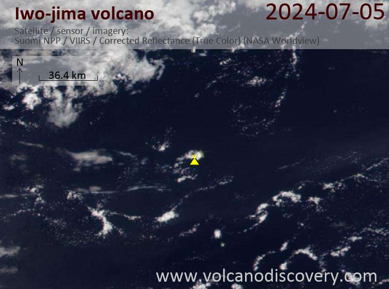
Latest satellite images

ioto satellite image sat1ioto satellite image sat2

Iwo-jima Volcano Maps

Below is a selection of maps showing the location and surroundings of the volcano at various resolutions based on aerial-imagery / terrain maps. Feel free to use them for non-commercial purposes on your blog or website as long as you credit them with a link back to this page (click to copy it).
Satellite/aerial-type map of Iwo-jima volcano (world scale)
Terrain-type map of Iwo-jima volcano (world scale)
Satellite/aerial-type map of Iwo-jima volcano (region scale large)
Terrain-type map of Iwo-jima volcano (region scale large)
Satellite/aerial-type map of Iwo-jima volcano (region scale medium)
Terrain-type map of Iwo-jima volcano (region scale medium)
Satellite/aerial-type map of Iwo-jima volcano (region scale small)
Terrain-type map of Iwo-jima volcano (region scale small)
Satellite/aerial-type map of Iwo-jima volcano (local scale large)
Terrain-type map of Iwo-jima volcano (local scale large)
Satellite/aerial-type map of Iwo-jima volcano (local scale medium)
Terrain-type map of Iwo-jima volcano (local scale medium)
Satellite/aerial-type map of Iwo-jima volcano (local scale small)
Terrain-type map of Iwo-jima volcano (local scale small)
Satellite/aerial-type map of Iwo-jima volcano (scale of 10s of km)
Terrain-type map of Iwo-jima volcano (scale of 10s of km)
Satellite/aerial-type map of Iwo-jima volcano (scale of 20-40 km)
Terrain-type map of Iwo-jima volcano (scale of 20-40 km)
Satellite/aerial-type map of Iwo-jima volcano (scale of approx. 10-20 km)
Terrain-type map of Iwo-jima volcano (scale of approx. 10-20 km)
Satellite/aerial-type map of Iwo-jima volcano (scale of 5-10 km)
Satellite/aerial-type map of Iwo-jima volcano (scale of few kilometers)
Volcanoes & Earthquakes - new app for Android
Guaranteed tours
1-17 Aug 2025: Volcanoes and Spices - Sulawesi/Halmahera (Indonesia)
1-14 Oct 2025: Desert, salt and volcanoes - Danakil desert (Ethiopia)
4-12 Oct 2025: From Stromboli to Etna - Sicily and Eolian Islands (Italy)
6-21 Oct 2025: From Krakatau to Bali - Java (Indonesia)
3-19 Nov 2025: Volcanoes and Spices - Sulawesi/Halmahera (Indonesia)
= spaces available   = guaranteed   = few spaces left   = booked out
Sun, 21 Jul 2024, 03:07

Iwo-jima volcano (Volcano Islands, Japan): new submarine eruption

The thermal anomaly on the south of the island suggests the new submarine activity at Iwo-jima volcano (image: Sentinel-2)
It seems that the volcano entered a new eruptive sequence. ... Read all
Wed, 3 Apr 2024, 18:00

Ioto volcano (Volcano Islands) - Smithsonian / USGS Weekly Volcanic Activity Report for 27 March-2 April 2024 (New Activity / Unrest)

Satellite images from 26 and 31 March showed areas of discolored water in the vicinity of Ioto (Iwo-jima). The discolored water expanded along the coastline to the NNE and WSW, and on 31 March the area of discolored water was about 600 m in diameter. ... Read all

On this page:

Try our free app!
Volcanoes & Earthquakes - new app for Android
Android | iOS version

More on VolcanoDiscovery

Why is there advertising on this site?

Support us - Help us upgrade our services!

We truly love working to bring you the latest volcano and earthquake data from around the world. Maintaining our website and our free apps does require, however, considerable time and resources.
We need financing to increase hard- and software capacity as well as support our editor team. We're aiming to achieve uninterrupted service wherever an earthquake or volcano eruption unfolds, and your donations can make it happen! Every donation will be highly appreciated. If you find the information useful and would like to support our team in integrating further features, write great content, and in upgrading our soft- and hardware, please make a donation (PayPal).

Planned features:Thanks to your past donations, these features have been added recently:
Download and Upgrade the Volcanoes & Earthquakes app to get one of the fastest seismic and volcano alerts online:
Android | IOS
Thank you!
Sources: VolcanoDiscovery / VolcanoAdventures and other sources as noted.
Use of material: Most text and images on our websites are owned by us. Re-use is generally not permitted without authorization. Contact us for licensing rights.
Volcanoes & Earthquakes
VolcanoDiscovery Home
Volcanoes | Earthquakes | Photos | Volcano News | | Shop | App
Adventure & Study Travel
Tours to Volcanoes and Volcanic Areas: walking tours, photo tours, study tours
Tours & Dates | FAQ | About us
Get our newsletter!
Company info
Contact | Legal info | Terms & conditions
Follow us
Follow us on facebook Follow us on Instagram Follow us on Bluesky Follow us on Twitter Visit our Youtube channel
EN | DE | EL | ES | FR | IT | RU
VolcanoDiscovery GmbH, Germany, Reg. nr.: HRB 103744, EU Tax Id: DE 297 465 123 owned and created by
Dr. Tom Pfeiffer, volcanologist, volcano photographer, tour organizer member of
IAVCEI
IAVCEI
Vulkanologische Gesellschaft
Volcanological Society
Ecotourism Greece
Ecotourism Greece
RUV insurance
Insured by R+V
VolcanoDiscovery © 2004- All Rights Reserved | Privacy - Cookie Settings