| RSS | EN | DE | EL | ES | FR | IT | RU

Iztaccíhuatl Volcano

Updated: Nov 24, 2025 16:31 GMT -
stratovolcano
Central Mexico, 19.18°N / -98.64°W
Summit height: 5230 m / 17,159 ft
Current status: normal or dormant (1 out of 5)
Last update: 25 Oct 2019 (possible small gas eruption on 22 Oct)
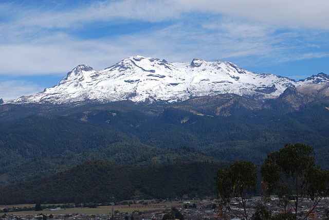
Iztaccihuatl volcano as seen from the Sacromonte mountain in Amecameca, Mexico State (image: Wikimedia Commons, AlejandroLinaresGarcia)

Iztaccíhuatl volcano (also spelled Ixtaccíhuatl) is a massive andesitic stratovolcano next to the famous neighbor Popocatépetl volcano. It is the 3rd highest mountain of Mexico.
Iztaccíhuatl has the profile of a sleeping woman when seen from the Valley of Mexico, which gave it its name meaning "Woman in White", referring also to the Ayoloco glacier covering its summit. Geologically, it is the predecessor volcano of Popocatépetl and now in its final stages of infrequent activity, with some activity sometime less than 11,000 years ago.

[smaller] [larger]
Typical eruption style: effusive
Iztaccíhuatl volcano eruptions: unknown, less than 11,000 years ago

Latest nearby earthquakes

Date and TimeMag / DepthDistance / Location

Background

A series of overlapping cones constructed along a NNW-SSE line to the south of the Pleistocene Llano Grande caldera forms the summit ridge of the massive 450 cu km volcano. Andesitic and dacitic Pleistocene and Recent volcanism has taken place from vents at or near the summit of Volcán Iztaccíhuatl. Valley headwalls near the summit vent (El Pecho) are draped with flows and tuff beds post-dating an 11,000 years before present glaciation. The youngest vents are located at the summit and a depression at 5100 m along the summit ridge midway between El Pecho and Los Pies (White 1986). Nixon (1989) considered all summit lavas to be Pleistocene in age, but noted a postglacial dacitic vent on the south flank of Iztaccíhuatl, north of the saddle between it and Popocatépetl.
(Source: GVP / Smithsonian volcano information)

Iztaccíhuatl Volcano Photos

Latest satellite images

Iztacc%C3%ADhuatl satellite image sat1Iztacc%C3%ADhuatl satellite image sat2

Iztaccíhuatl Volcano Maps

Below is a selection of maps showing the location and surroundings of the volcano at various resolutions based on aerial-imagery / terrain maps. Feel free to use them for non-commercial purposes on your blog or website as long as you credit them with a link back to this page (click to copy it).
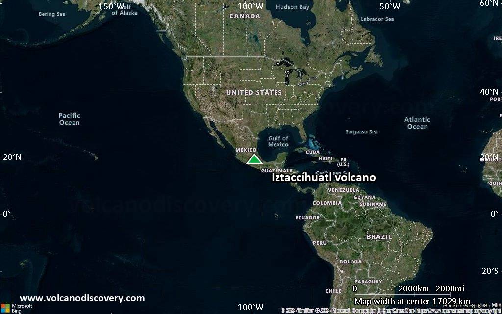
Satellite/aerial-type map of Iztaccíhuatl volcano (world scale)
Terrain-type map of Iztaccíhuatl volcano (world scale)
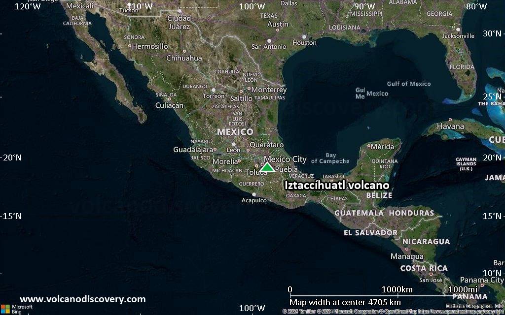
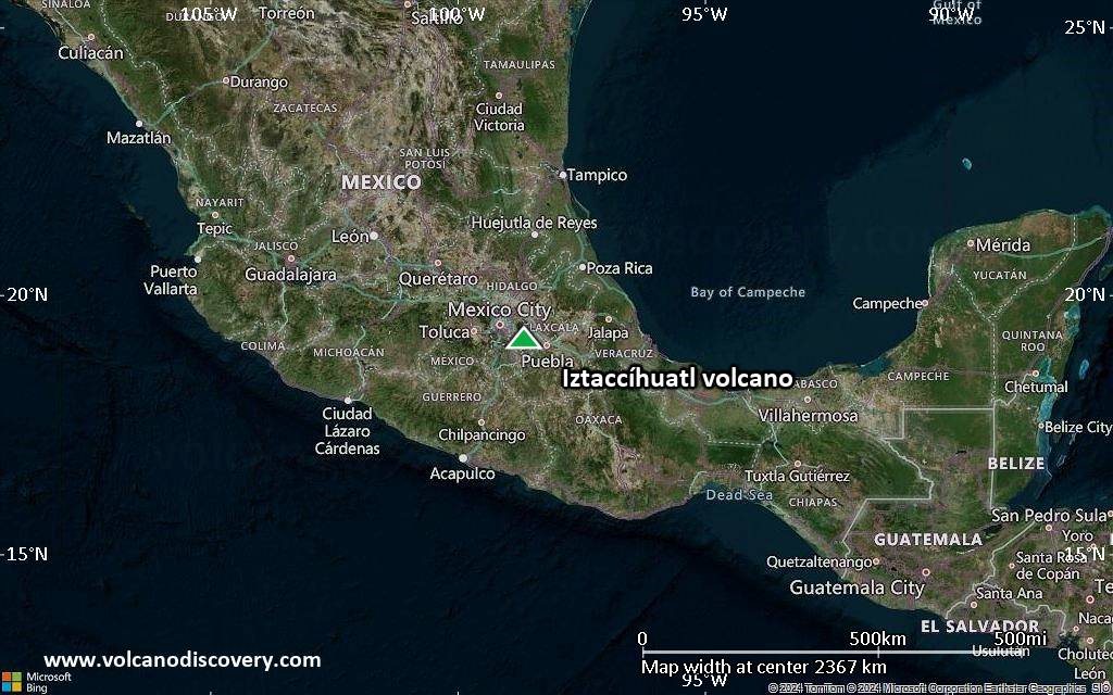
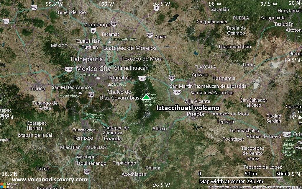
Satellite/aerial-type map of Iztaccíhuatl volcano (region scale large)
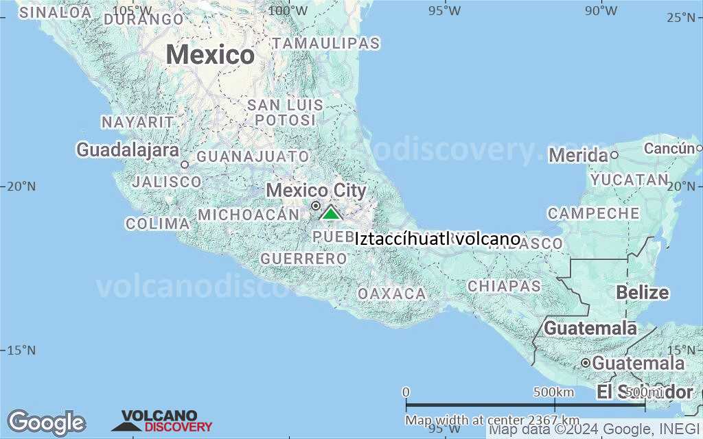
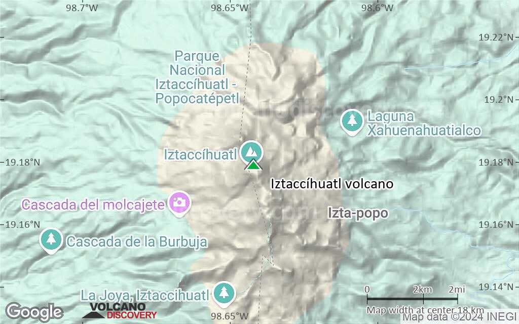
Terrain-type map of Iztaccíhuatl volcano (region scale large)
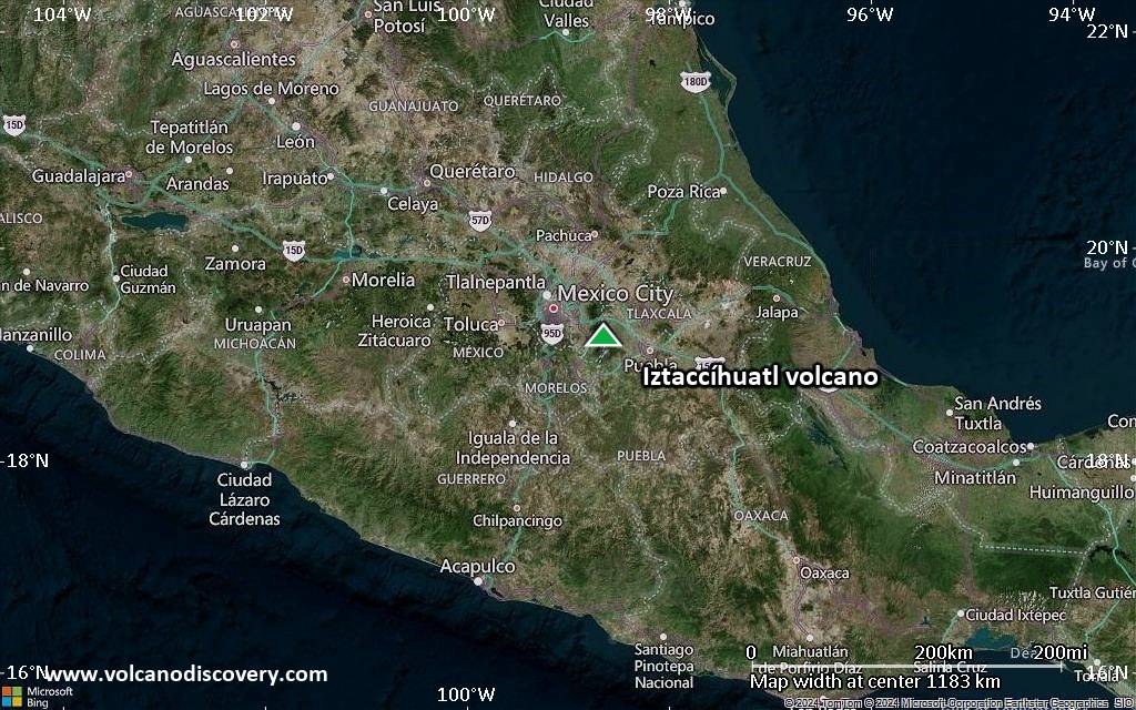
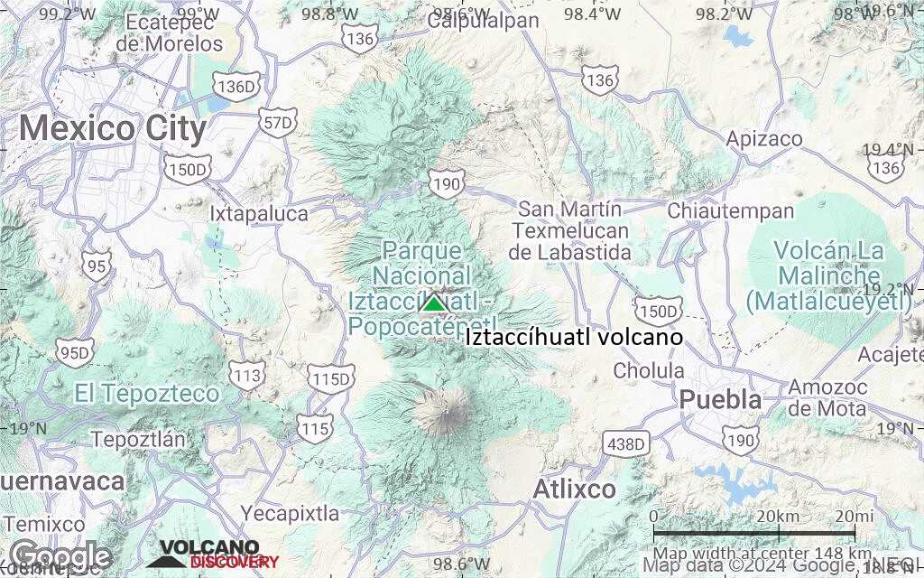
Satellite/aerial-type map of Iztaccíhuatl volcano (region scale medium)
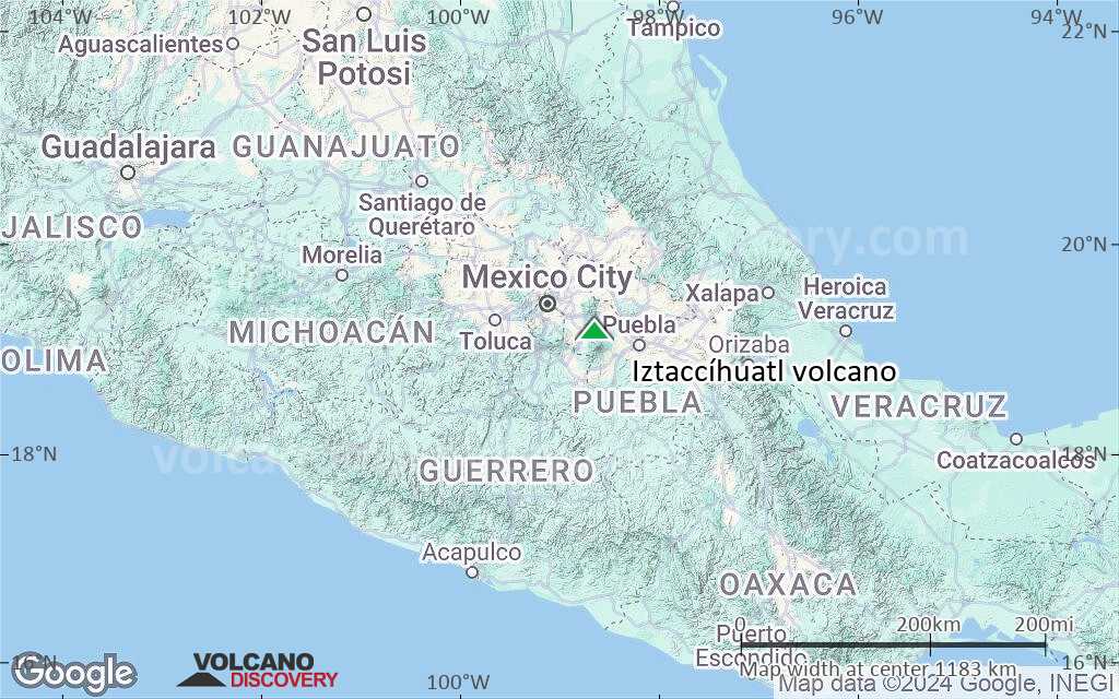
Terrain-type map of Iztaccíhuatl volcano (region scale medium)
Satellite/aerial-type map of Iztaccíhuatl volcano (region scale small)
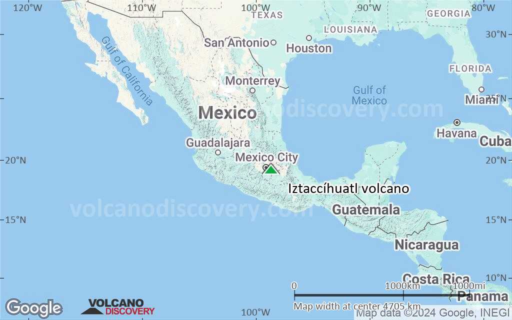
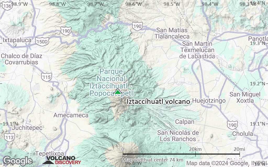
Terrain-type map of Iztaccíhuatl volcano (region scale small)
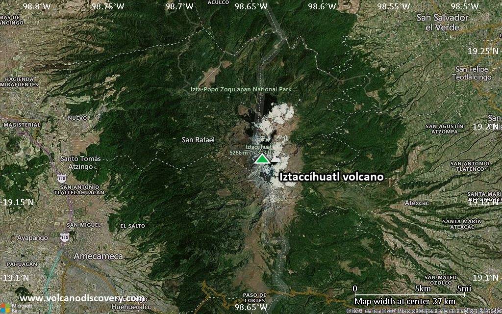
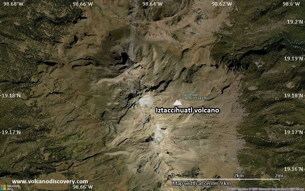
Satellite/aerial-type map of Iztaccíhuatl volcano (local scale large)
Terrain-type map of Iztaccíhuatl volcano (local scale large)
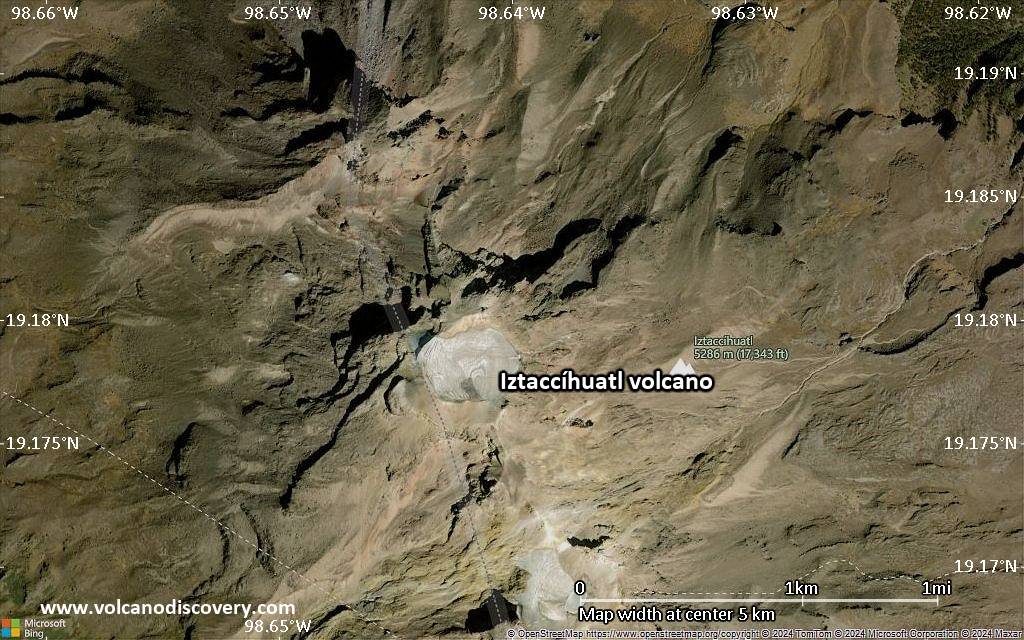
Satellite/aerial-type map of Iztaccíhuatl volcano (local scale medium)
Terrain-type map of Iztaccíhuatl volcano (local scale medium)
Satellite/aerial-type map of Iztaccíhuatl volcano (local scale small)
Terrain-type map of Iztaccíhuatl volcano (local scale small)
Satellite/aerial-type map of Iztaccíhuatl volcano (scale of 10s of km)
Terrain-type map of Iztaccíhuatl volcano (scale of 10s of km)
Satellite/aerial-type map of Iztaccíhuatl volcano (scale of 20-40 km)
Terrain-type map of Iztaccíhuatl volcano (scale of 20-40 km)
Satellite/aerial-type map of Iztaccíhuatl volcano (scale of approx. 10-20 km)
Terrain-type map of Iztaccíhuatl volcano (scale of approx. 10-20 km)
Satellite/aerial-type map of Iztaccíhuatl volcano (scale of 5-10 km)
Satellite/aerial-type map of Iztaccíhuatl volcano (scale of few kilometers)
Volcanoes & Earthquakes - new app for Android
Guaranteed tours
2-10 May 2026: From Stromboli to Etna - Sicily and Eolian Islands (Italy)
= spaces available   = guaranteed   = few spaces left   = booked out

Iztaccihuatl volcano (Mexico): possible gas eruption on 22 Oct

Friday, Oct 25, 2019 | 6 years ago · T
Possible gas eruption at Iztaccíhuatl volcano on 22 Oct (image: IIGEA)
A possible gas eruption took place at the volcano on 22 Oct:
The Department of Seismology and Volcanism of the Institute of Geological and Atmospheric Research (IIGEA) reported on its Twitter account…

On this page:

Try our free app!
Volcanoes & Earthquakes - new app for Android
Android | iOS version

More on VolcanoDiscovery

Why is there advertising on this site?

Support Us – Help Us Enhance Our Services!

We’re passionate about delivering the latest volcano and earthquake data from around the globe — just for you. However, maintaining our website and free apps requires significant time, effort, and resources.
Your support helps us expand our hardware and software capabilities and empowers our dedicated editorial team. Our mission is to provide uninterrupted, real-time updates whenever an earthquake strikes or a volcano erupts — and your donations make this possible. Every contribution, big or small, is deeply appreciated. If you find our information valuable and want to help us add new features, create compelling content, and improve our technology, please consider making a donation:

Donate with PayPal:

Planned Features:

Thanks to your past donations, we have recently added:
Download the Volcanoes & Earthquakes app to stay among the first to receive the fastest seismic and volcano alerts online:
Android | iOS
Thank you for being part of our mission!
Sources: VolcanoDiscovery / VolcanoAdventures and other sources as noted.
Use of material: Most text and images on our websites are owned by us. Re-use is generally not permitted without authorization. Contact us for licensing rights.
Volcanoes & Earthquakes
VolcanoDiscovery Home
Volcanoes | Earthquakes | Photos | Volcano News | | Shop | App
Adventure & Study Travel
Tours to Volcanoes and Volcanic Areas: walking tours, photo tours, study tours
Tours & Dates | FAQ | About us
Get our newsletter!
Company info
Contact | Legal info | Terms & conditions
Follow us
Follow us on facebook Follow us on Instagram Follow us on Bluesky Follow us on Twitter Visit our Youtube channel
EN | DE | EL | ES | FR | IT | RU
VolcanoDiscovery GmbH, Germany, Reg. nr.: HRB 103744, EU Tax Id: DE 297 465 123 owned and created by
Dr. Tom Pfeiffer, volcanologist, volcano photographer, tour organizer member of
IAVCEI
IAVCEI
Vulkanologische Gesellschaft
Volcanological Society
Ecotourism Greece
Ecotourism Greece
RUV insurance
Insured by R+V
VolcanoDiscovery © 2004- All Rights Reserved | Privacy - Cookie Settings