


Kamen Volcano
Updated: Nov 24, 2025 23:40 GMT -
Stratovolcano
Kamchatka, Russia, 56.02°N / 160.59°E 
Summit height: 4585 m / 15,042 ft
Current status: normal or dormant (1 out of 5)
[smaller] [larger]
Kamen volcano eruptions: unknown, no recent eruptions
Latest nearby earthquakes
| Date and Time | Mag / Depth | Distance / Location | |||
|---|---|---|---|---|---|
Background
The steep-sided Kamen stratovolcano lies at the center of a N-S-trending chain of volcanoes, flanked by Bezymianny and Kliuchevskoi. The sharp-peaked, 4585-m-high Kamen is Kamchatka's second highest volcano, topped only by its neighbor Kliuchevskoi. Kamen formed during the late Pleistocene, but activity continued into the Holocene (Melekestsev et al., 1990). A major slope failure about 1200-1300 years ago removed much of the eastern side of the volcano, producing a massive 4-6 cu km debris avalanche that traveled more than 30 km to the SE.---
Smithsonian / GVP volcano information
Kamen Volcano Photos

View over Nea Kameni island, Santorini at sunset (Photo: Tom Pfeiffer)

The vertical cliff face of Palea Kameni's east side. Probably around 1457-58 AD, a part of the island broke off, exposing the concentrically fractured interior of the lav...

Erupting Klyuchevskoy volcano, Kamchatka, with the new lava flow and Kamen volcano (Sep 2013) (Photo: Sergey Krasnoshchokov)

Nea Kameni (l) and Palea Kameni volcanic islands in the center of the Santorini caldera seen from the air. The Akrotiri peninsula in the background. Underwater hydrotherm...
Latest satellite images

Kamen Volcano Maps
Below is a selection of maps showing the location and surroundings of the volcano at various resolutions based on aerial-imagery / terrain maps. Feel free to use them for non-commercial purposes on your blog or website as long as you credit them with a link back to this page (click to copy it).

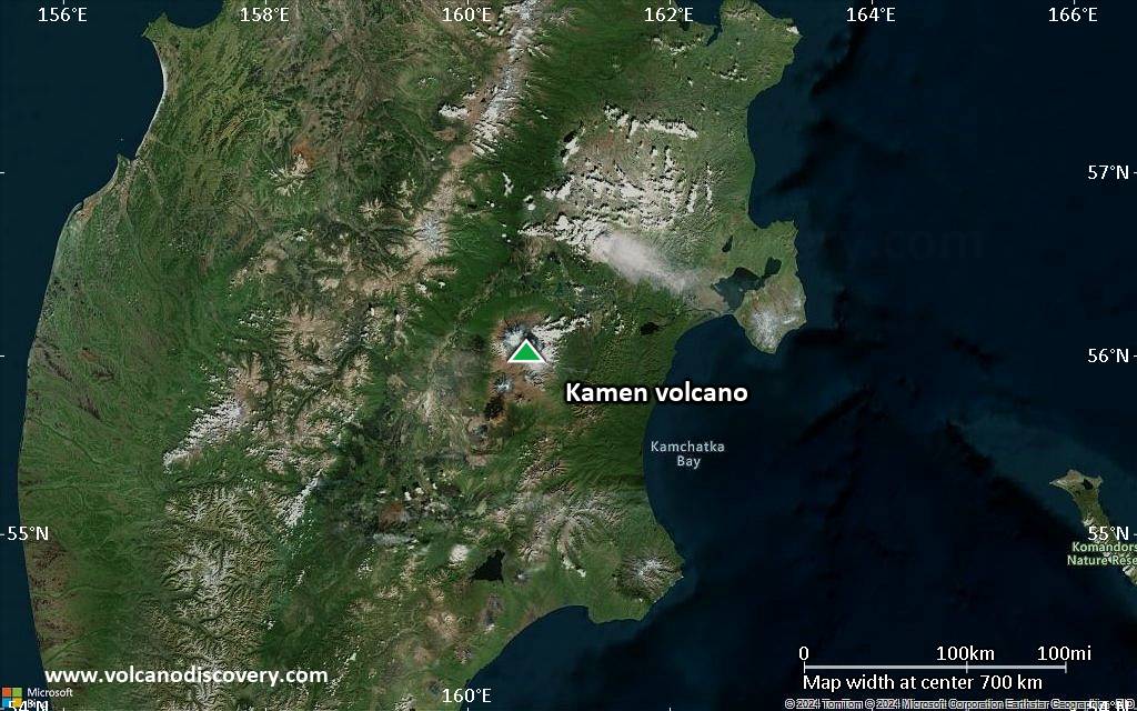
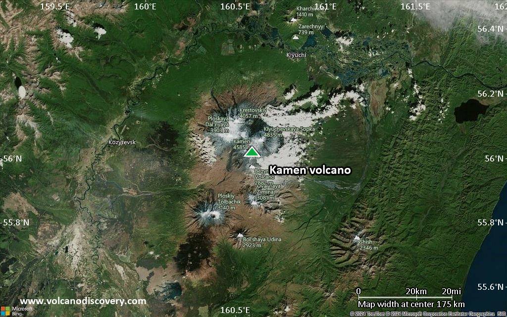
Satellite/aerial-type map of Kamen volcano (world scale)

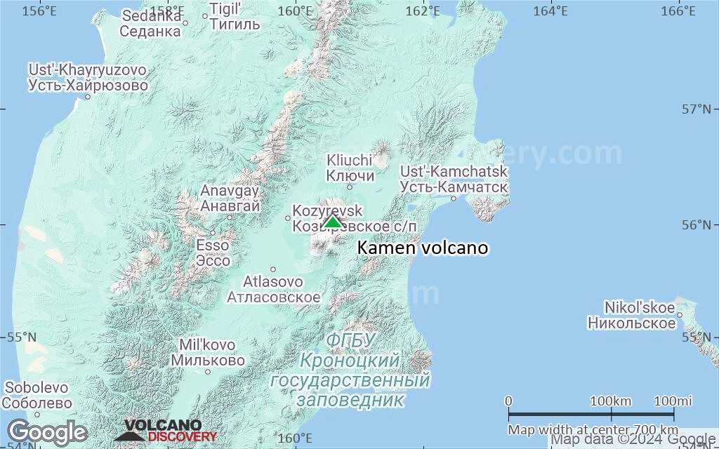
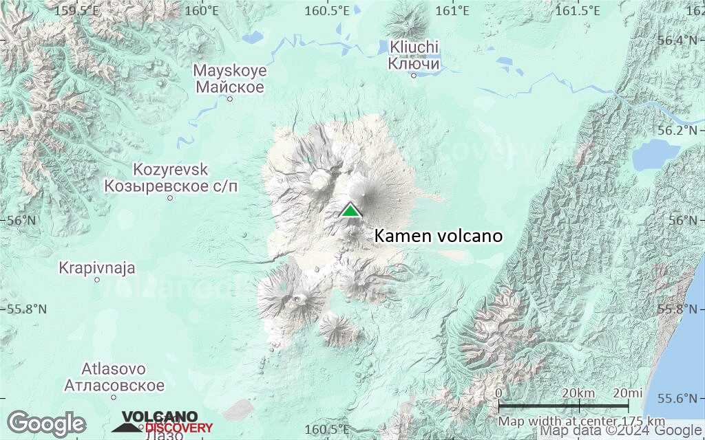
Terrain-type map of Kamen volcano (world scale)
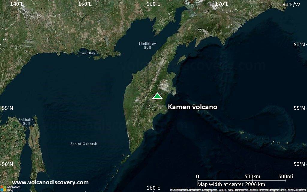
Satellite/aerial-type map of Kamen volcano (region scale large)

Terrain-type map of Kamen volcano (region scale large)
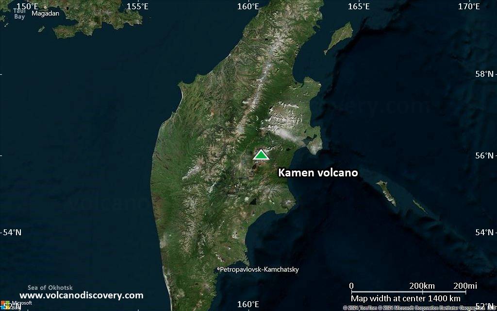
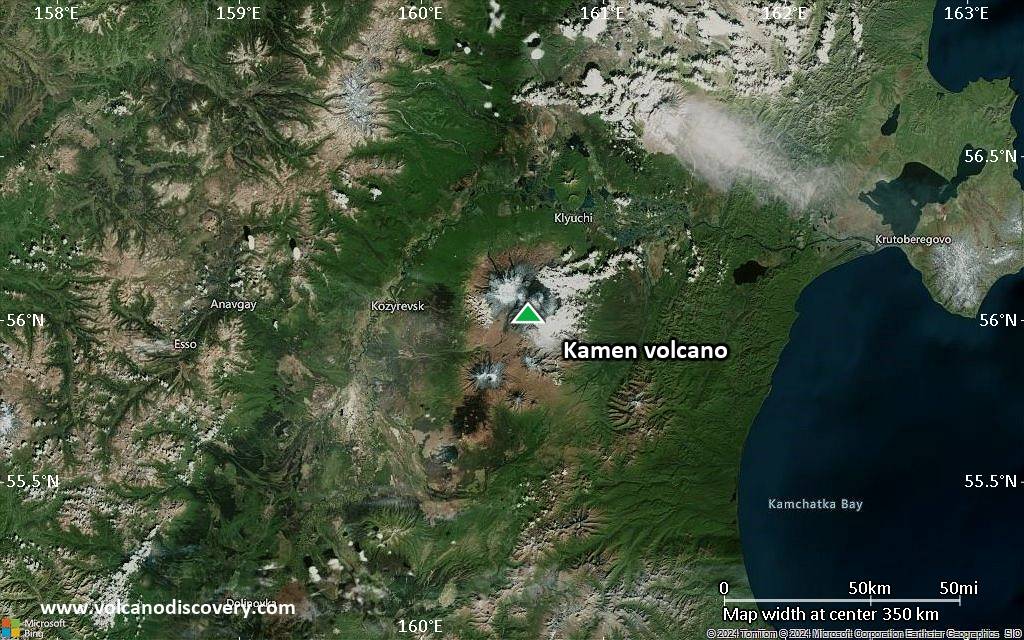
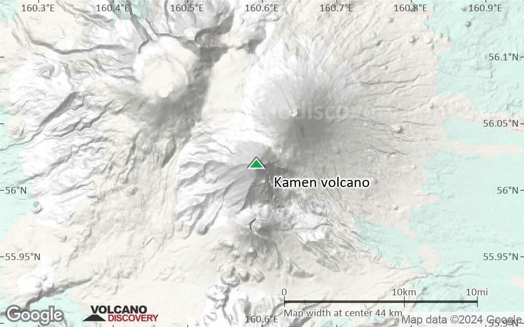
Satellite/aerial-type map of Kamen volcano (region scale medium)
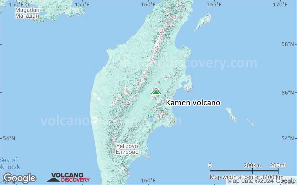
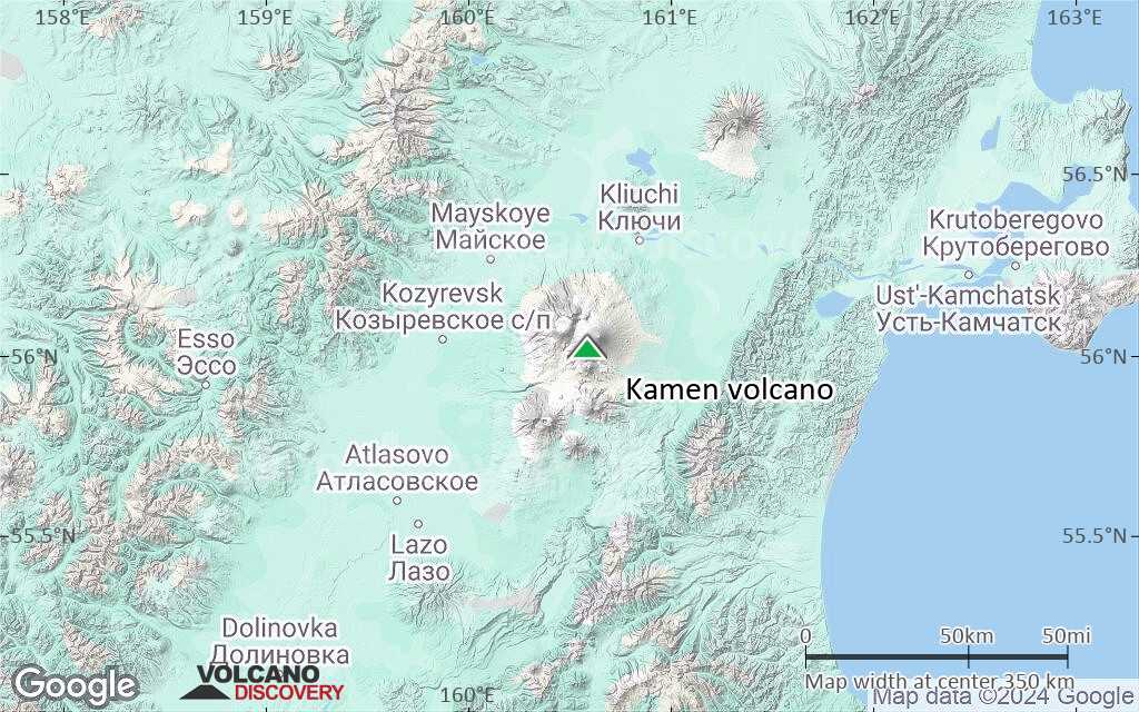
Terrain-type map of Kamen volcano (region scale medium)
Satellite/aerial-type map of Kamen volcano (region scale small)
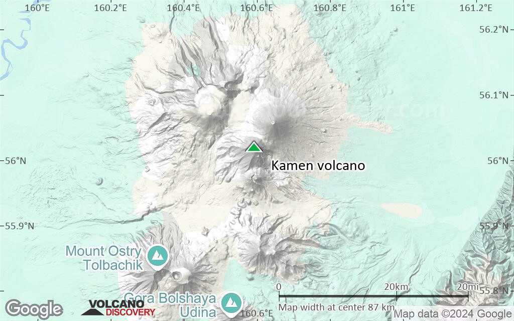
Terrain-type map of Kamen volcano (region scale small)
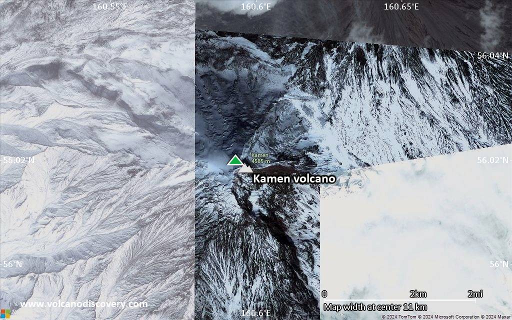
Satellite/aerial-type map of Kamen volcano (local scale large)
Terrain-type map of Kamen volcano (local scale large)
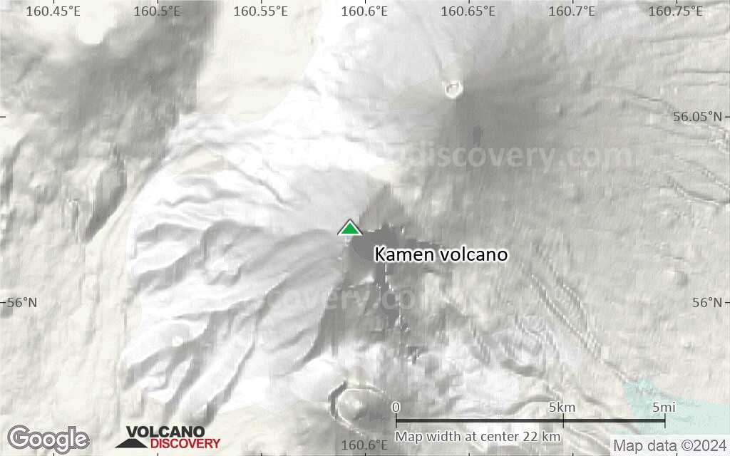
Satellite/aerial-type map of Kamen volcano (local scale medium)
Terrain-type map of Kamen volcano (local scale medium)

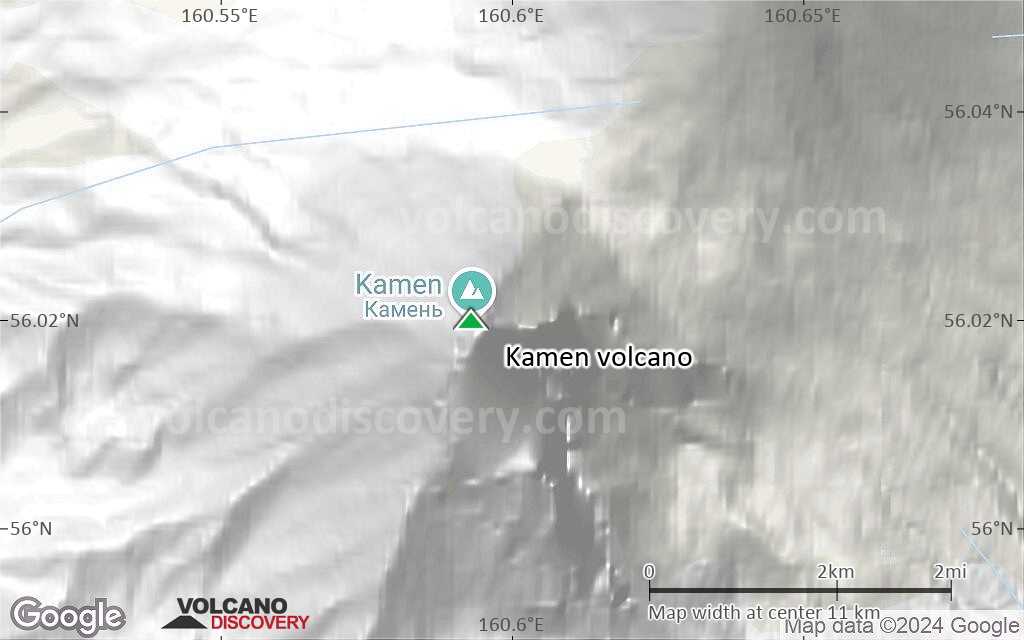
Satellite/aerial-type map of Kamen volcano (local scale small)
Terrain-type map of Kamen volcano (local scale small)
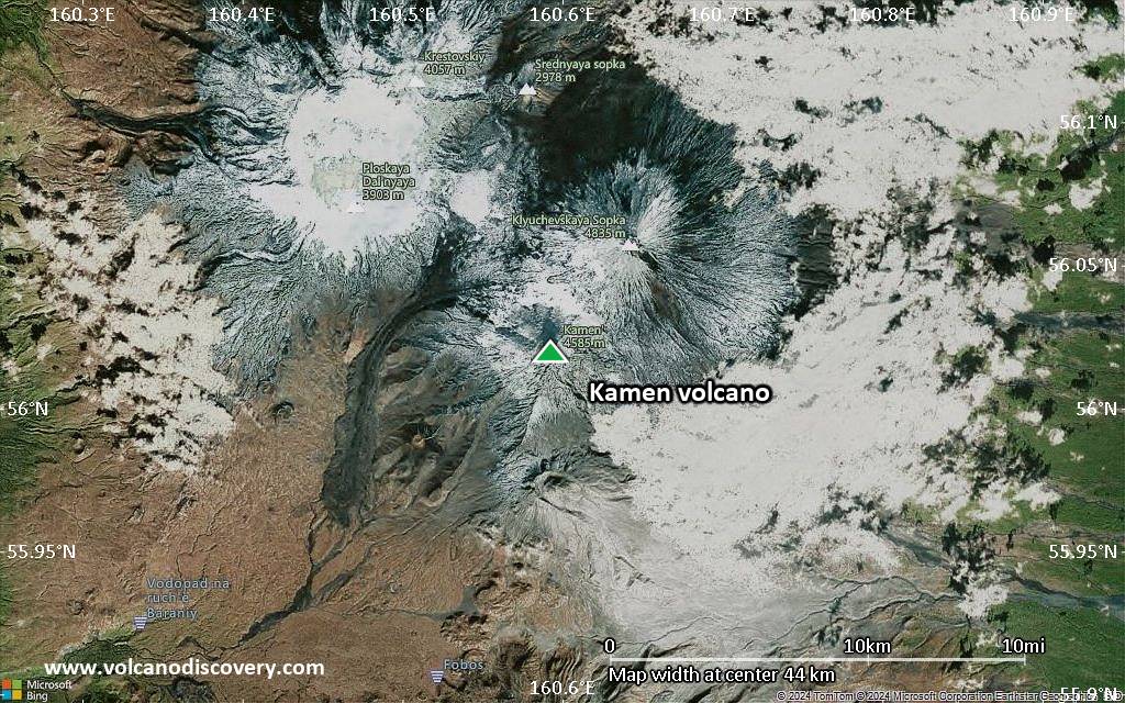
Satellite/aerial-type map of Kamen volcano (scale of 10s of km)
Terrain-type map of Kamen volcano (scale of 10s of km)

Satellite/aerial-type map of Kamen volcano (scale of 20-40 km)
Terrain-type map of Kamen volcano (scale of 20-40 km)
Satellite/aerial-type map of Kamen volcano (scale of approx. 10-20 km)
Terrain-type map of Kamen volcano (scale of approx. 10-20 km)

Satellite/aerial-type map of Kamen volcano (scale of 5-10 km)
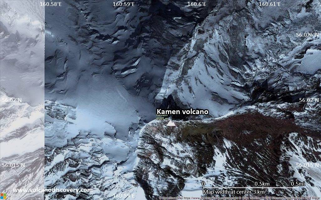
Satellite/aerial-type map of Kamen volcano (scale of few kilometers)


