


Laacher See Volcano
Updated: Nov 25, 2025 08:27 GMT -
caldera
Germany, 50.42°N / 7.28°E 
Summit height: 407 m
Current status: normal or dormant (1 out of 5)
Last update: 23 Jan 2022
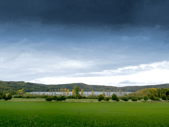
The Laacher See lake in Germany (photo: Tobias Schorr)
Laacher See or Laach Lake (in English) is a crater lake or more exactly a caldera lake in the Rhineland-Palatinate, Germany, situated close to the cities of Koblenz, Mayen (11 km), and Andernach (14 km). It fills a volcanic caldera in the Eifel mountain range, the only caldera in Central Europe. It is part of the area of the "east Eifel volcanic field".
[smaller] [larger]
Laacher See volcano eruptions: 10900 B.C. - 9191 B.C.
Latest nearby earthquakes
| Date and Time | Mag / Depth | Distance / Location | |||
|---|---|---|---|---|---|
| Nov 22, 11:07 pm (GMT +1) | 0.3 10 km | 10 km (6.2 mi) to the SE | Info | ||
| Thursday, November 20, 2025 GMT (2 quakes) | |||||
| Nov 20, 11:18 am (Universal Time) | 0.5 5.8 km | 7.1 km (4.4 mi) to the NW | Info | ||
| Nov 20, 01:27 am (Universal Time) | 0.3 8.8 km | 4.3 km (2.7 mi) to the E | Info | ||
| Tuesday, November 18, 2025 GMT (1 quake) | |||||
| Nov 18, 01:30 pm (Universal Time) | 0.7 13 km | 7.3 km (4.5 mi) to the SE | Info | ||
| Saturday, November 15, 2025 GMT (3 quakes) | |||||
| Nov 15, 03:32 am (Universal Time) | 1.0 11 km | 8.5 km (5.3 mi) to the SE | Info | ||
| Nov 15, 12:48 am (Universal Time) | 0.5 12 km | 12 km (7.6 mi) to the SE | Info | ||
| Nov 15, 12:48 am (Universal Time) | 0.4 12 km | 12 km (7.2 mi) to the SE | Info | ||
| Tuesday, November 11, 2025 GMT (1 quake) | |||||
| Nov 11, 10:26 pm (Berlin) | 0.6 5 km | 18 km (11 mi) to the SE | Info | ||
Background
The caldera of Laacher See was formed after the Laacher volcano erupted, between 12,900 and 11,200 years ago. The remaining crust collapsed into the empty magma chamber below, only two or three days after the eruption. With an estimated Volcanic Explosivity Index value of 6, this eruption was 250 times larger than the eruption of Mount St. Helens in 1980. Remains of this eruption can be found all over Europe and is often used for dating of sediments. A number of unique minerals, like Hauyn can be found in the region, and quaries to mine the stone as a building material.The Laacher is still considered to be an active volcano, proven by seismic activities and heavy thermal anomalies under the lake. Carbon dioxide (CO2) gas from magma still bubbles up at the southeastern shore (mofettes), and scientists believe that a new eruption can happen at any time, which, today, would be a disaster beyond all description.
Laacher See Volcano Photos

Pumice layers of the Laacher Lake eruption at the quarry Wingertsbergwand near Mendig/Germany (Photo: Tobias Schorr)

The famous Wingertsbergwand, an excellent exposure of proximal pyroclastic fall and surge deposits form the Plinian Laacher See volcano eruption 10,700 years ago (East Ei...

Impact of a volcanic bomb of the explosion of Laacher See volcano in 9900 B.C. (Photo: Tobias Schorr)

The volcanic lake of Laacher See (last eruption 10900 B.C.) (Photo: Tobias Schorr)
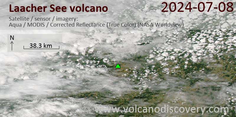
Latest satellite images
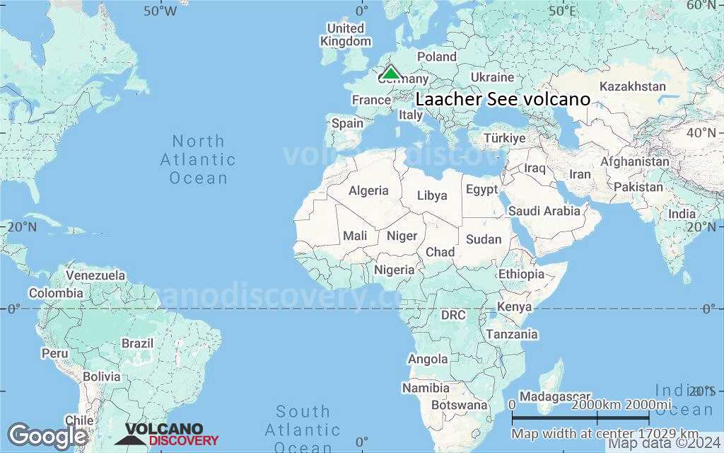
Laacher See Volcano Maps
Below is a selection of maps showing the location and surroundings of the volcano at various resolutions based on aerial-imagery / terrain maps. Feel free to use them for non-commercial purposes on your blog or website as long as you credit them with a link back to this page (click to copy it).

Satellite/aerial-type map of Laacher See volcano (world scale)
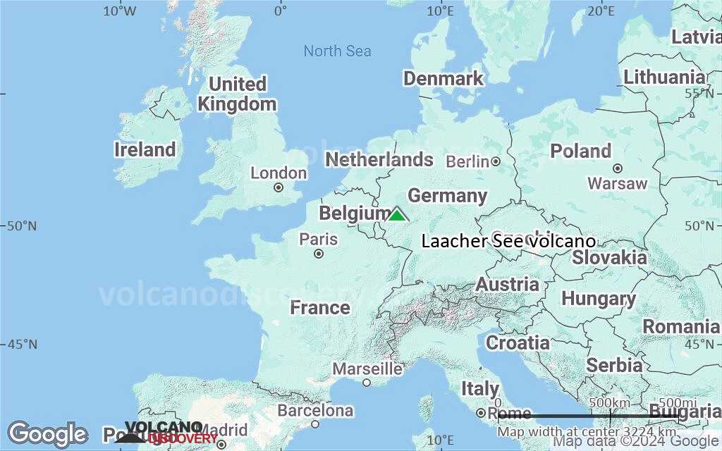
Terrain-type map of Laacher See volcano (world scale)

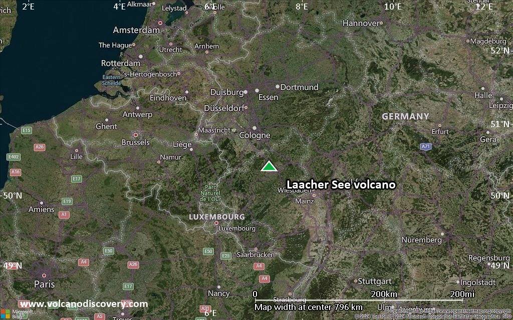
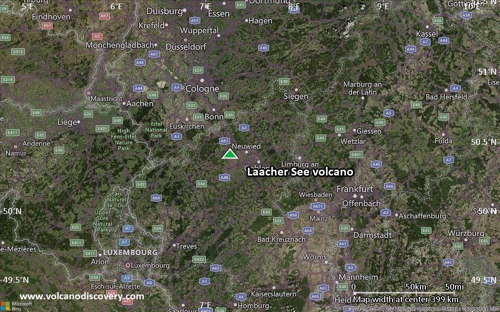
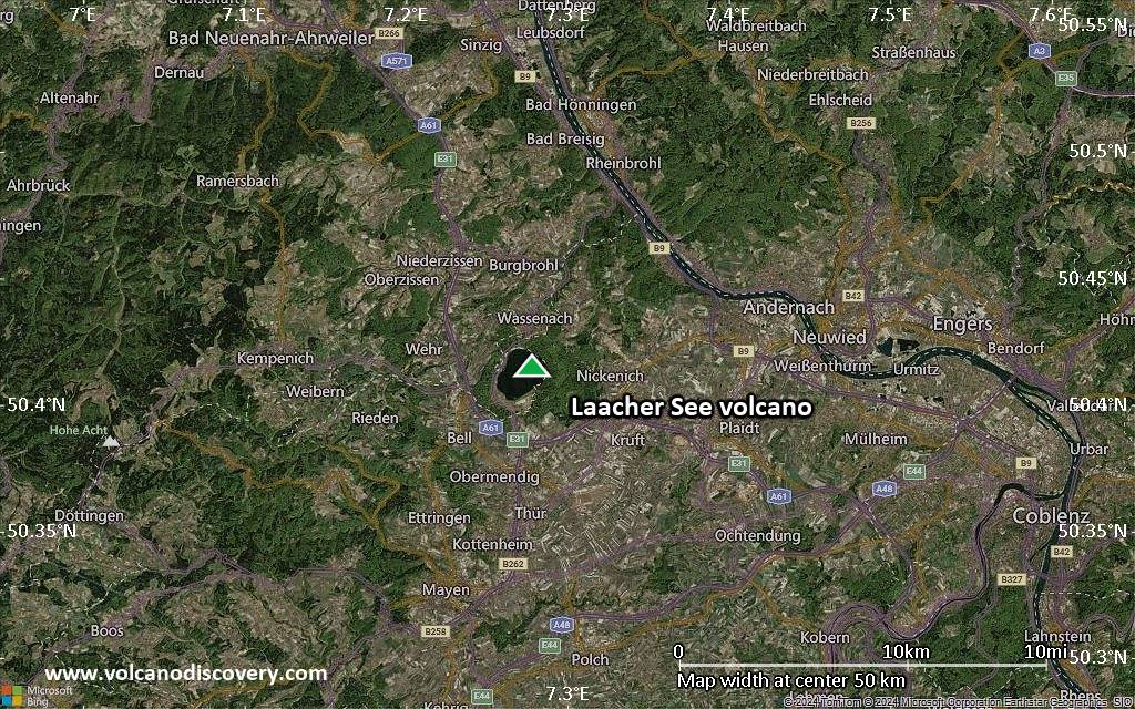
Satellite/aerial-type map of Laacher See volcano (region scale large)
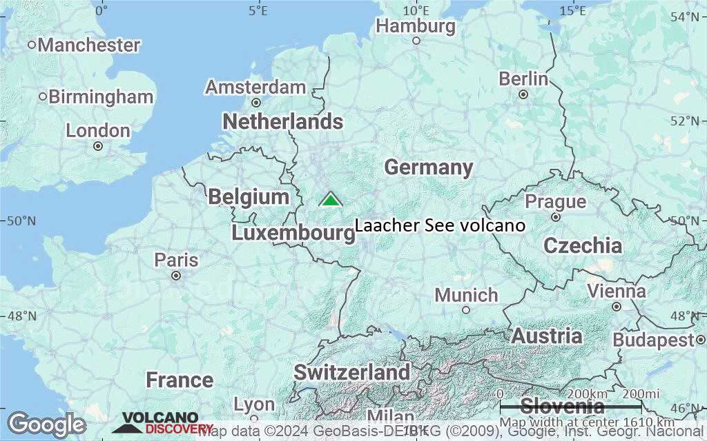
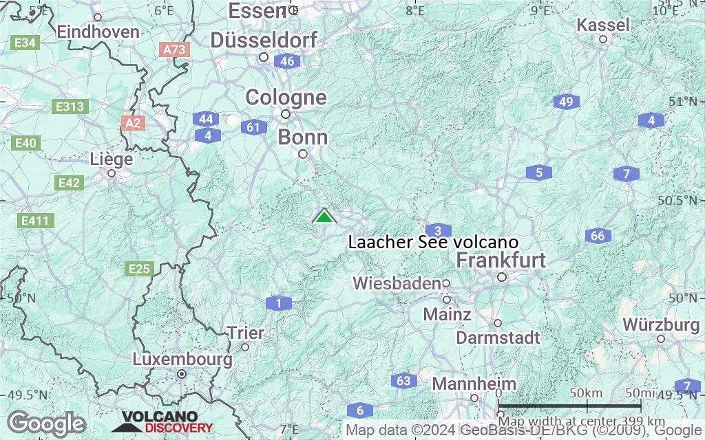
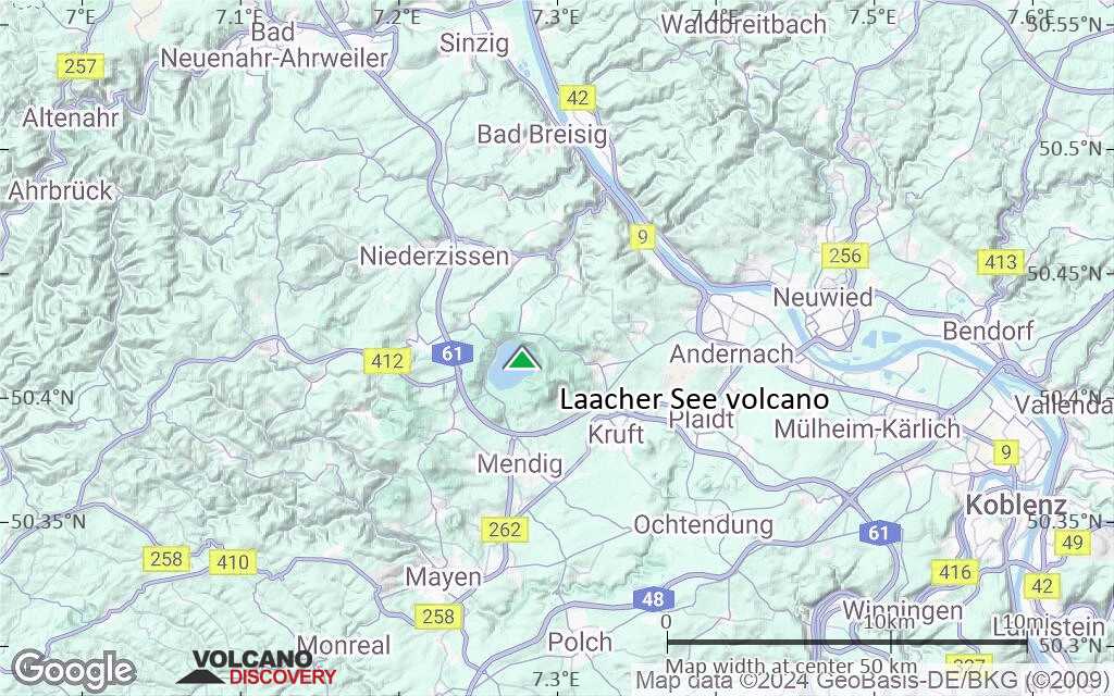
Terrain-type map of Laacher See volcano (region scale large)

Satellite/aerial-type map of Laacher See volcano (region scale medium)
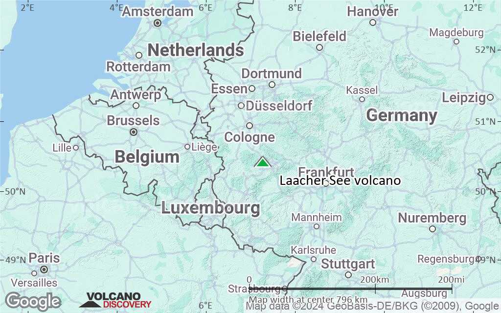
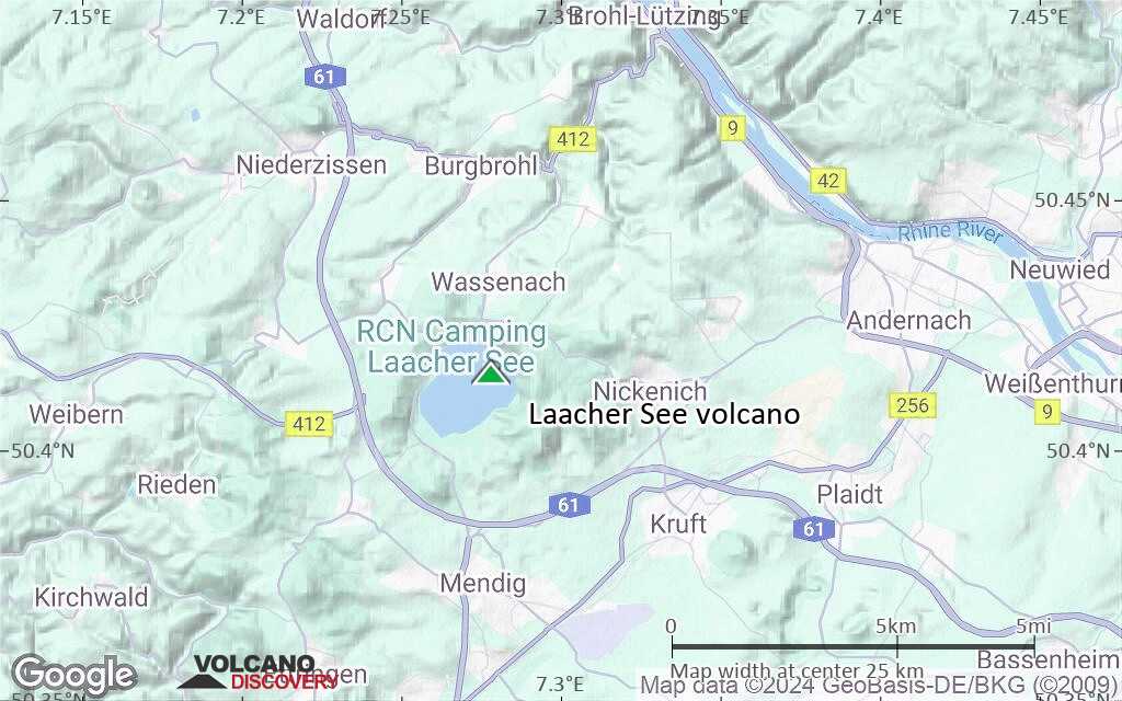
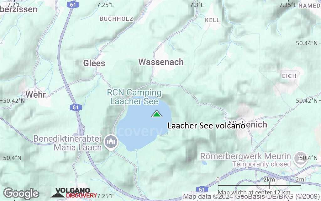
Terrain-type map of Laacher See volcano (region scale medium)
Satellite/aerial-type map of Laacher See volcano (region scale small)
Terrain-type map of Laacher See volcano (region scale small)
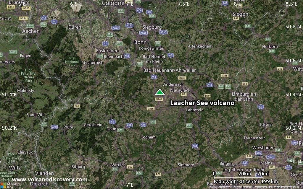
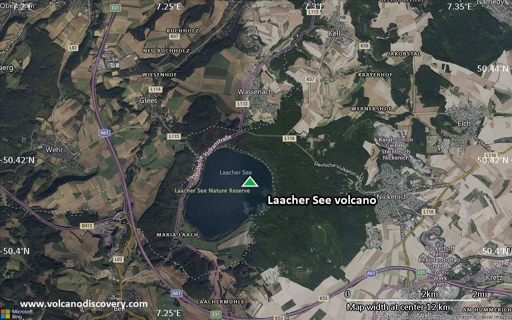
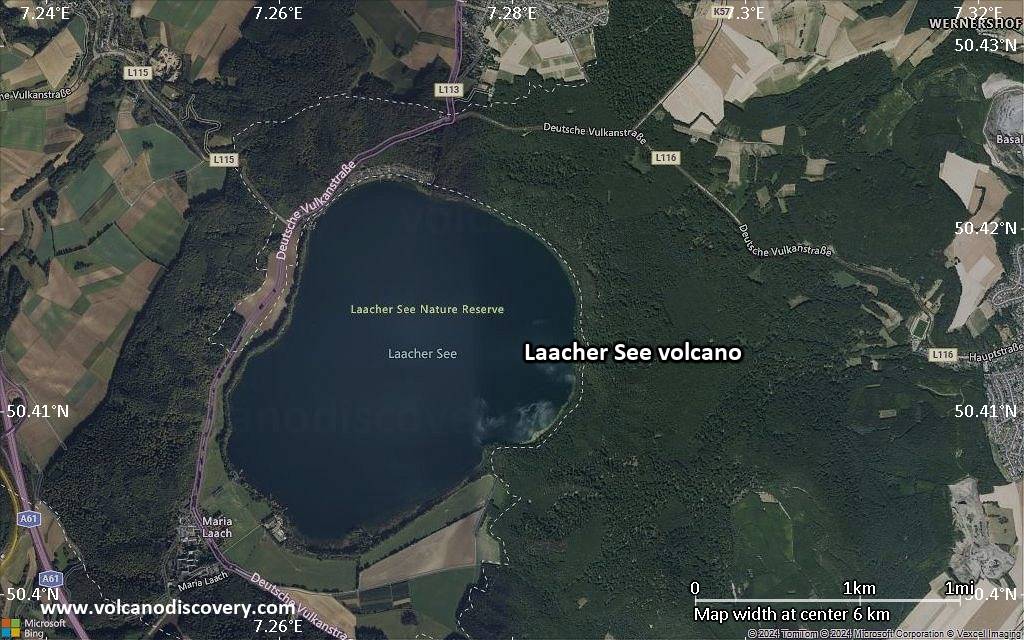
Satellite/aerial-type map of Laacher See volcano (local scale large)
Terrain-type map of Laacher See volcano (local scale large)
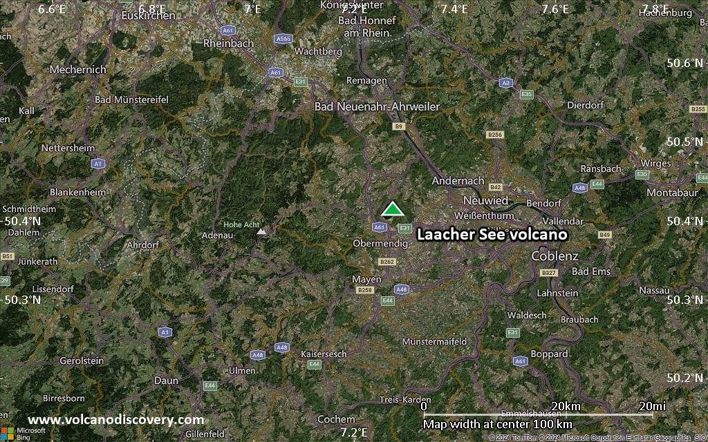
Satellite/aerial-type map of Laacher See volcano (local scale medium)

Terrain-type map of Laacher See volcano (local scale medium)
Satellite/aerial-type map of Laacher See volcano (local scale small)

Terrain-type map of Laacher See volcano (local scale small)
Satellite/aerial-type map of Laacher See volcano (scale of 10s of km)
Terrain-type map of Laacher See volcano (scale of 10s of km)

Satellite/aerial-type map of Laacher See volcano (scale of 20-40 km)
Terrain-type map of Laacher See volcano (scale of 20-40 km)
Satellite/aerial-type map of Laacher See volcano (scale of approx. 10-20 km)
Terrain-type map of Laacher See volcano (scale of approx. 10-20 km)
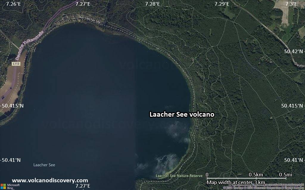
Satellite/aerial-type map of Laacher See volcano (scale of 5-10 km)
Satellite/aerial-type map of Laacher See volcano (scale of few kilometers)


