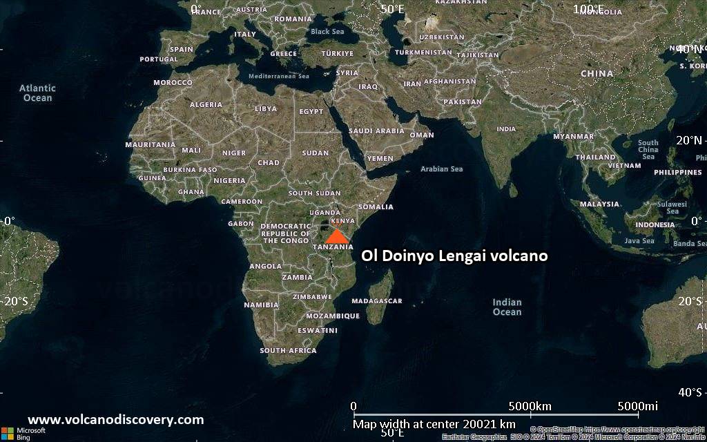
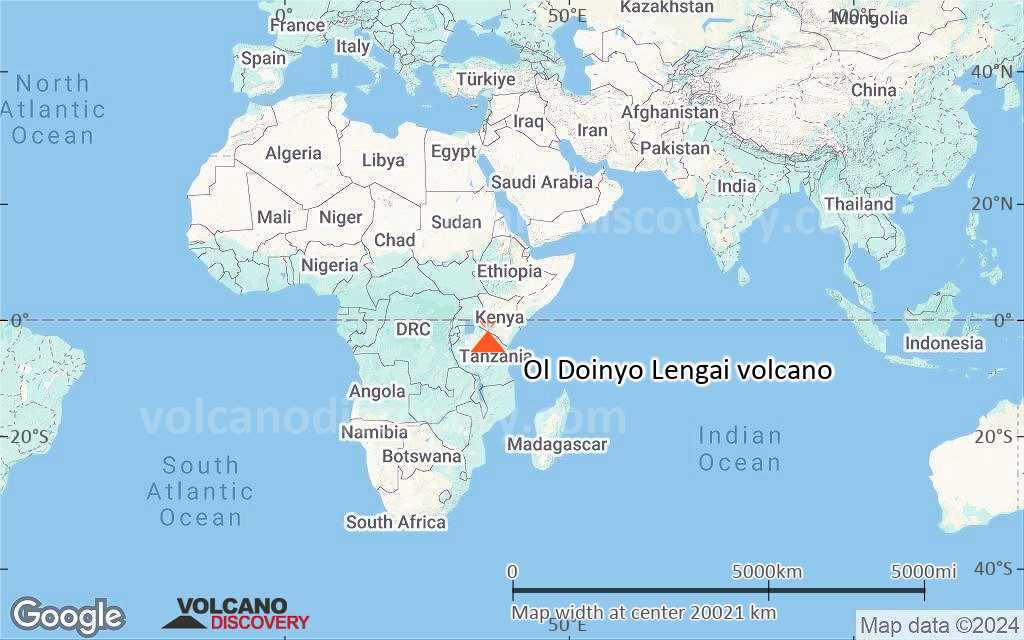
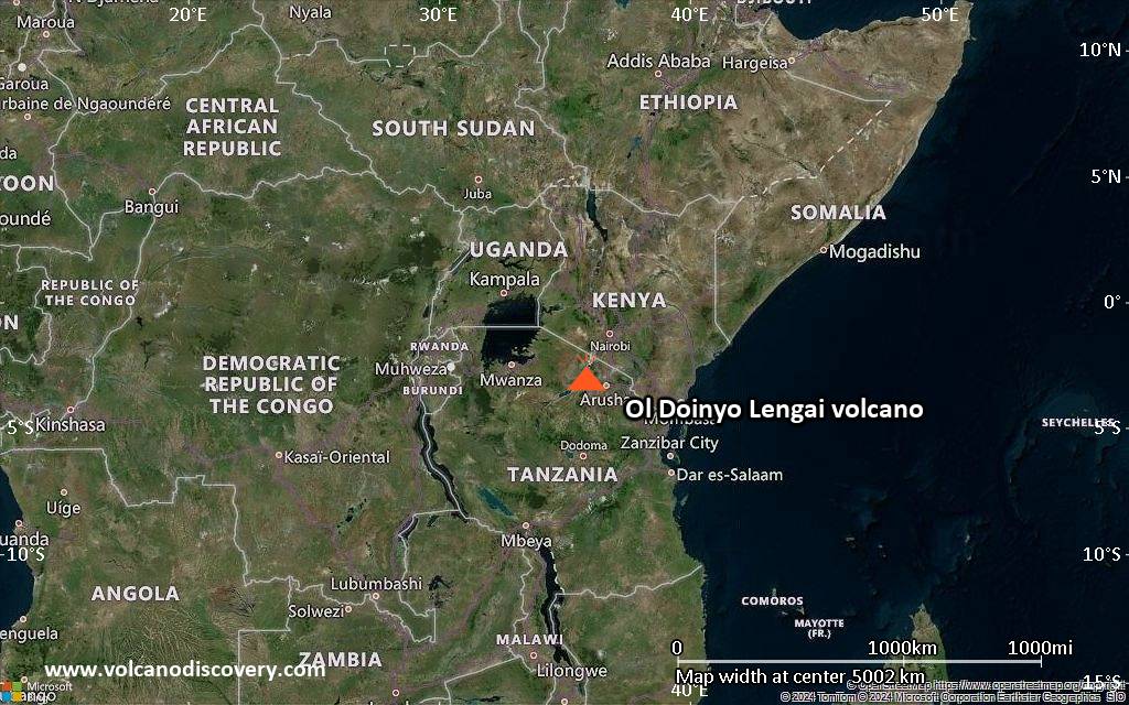
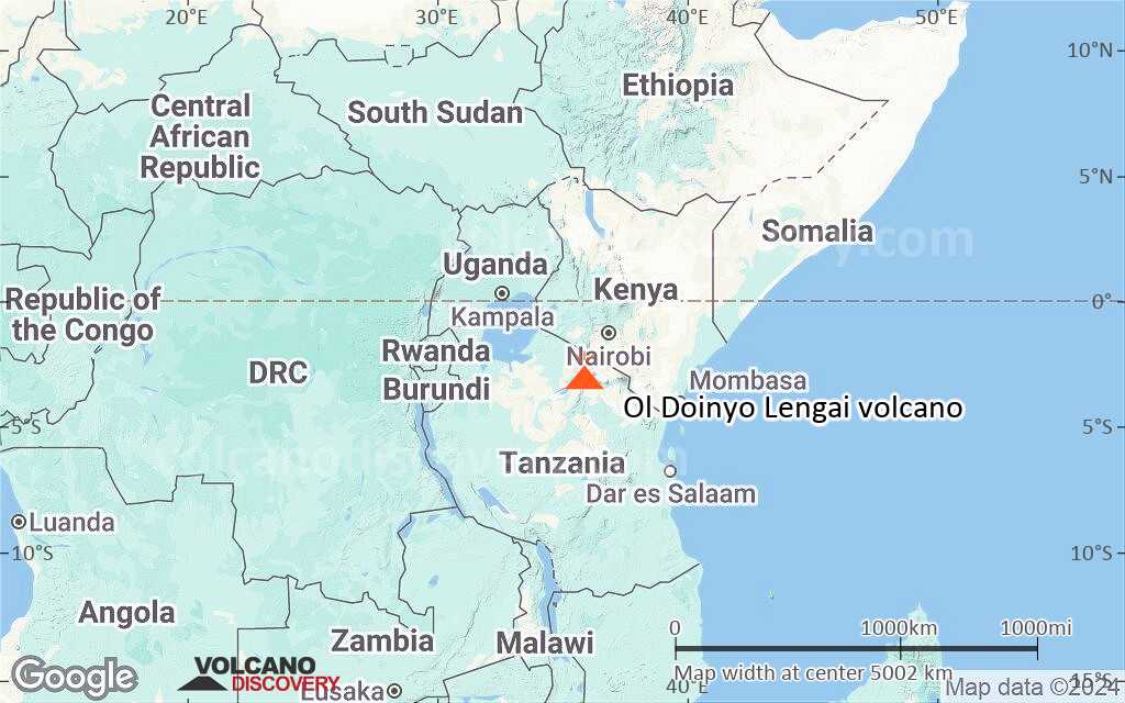
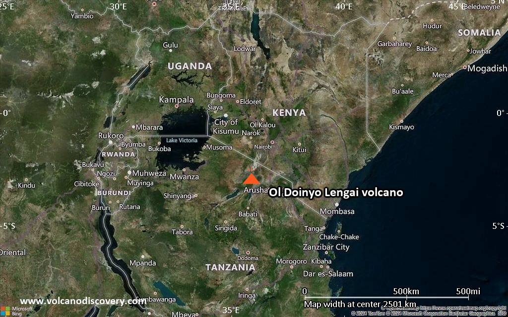
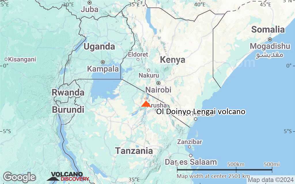
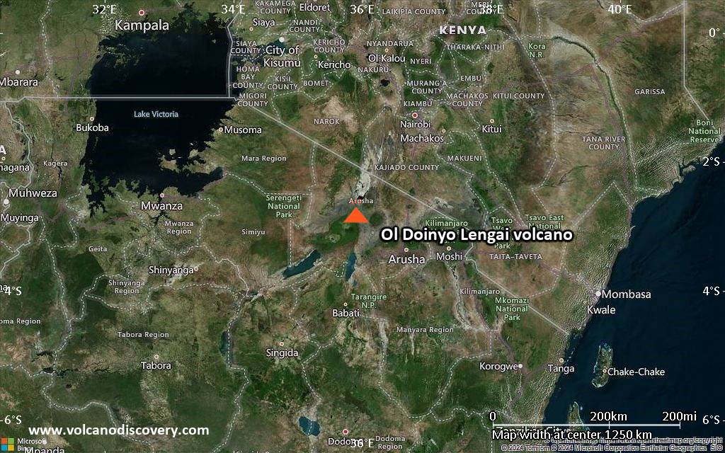
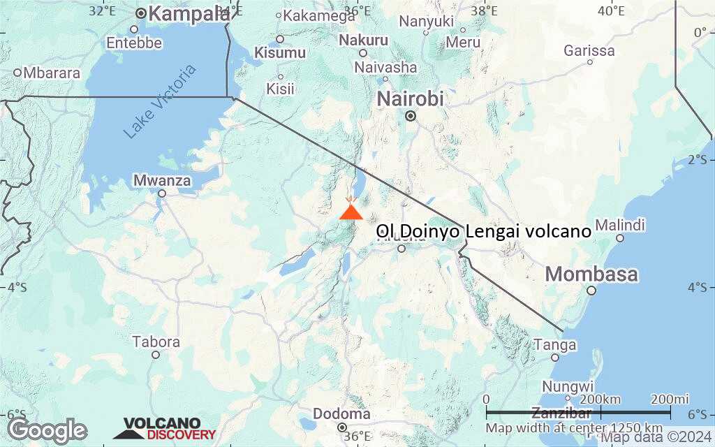
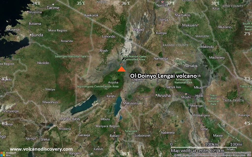
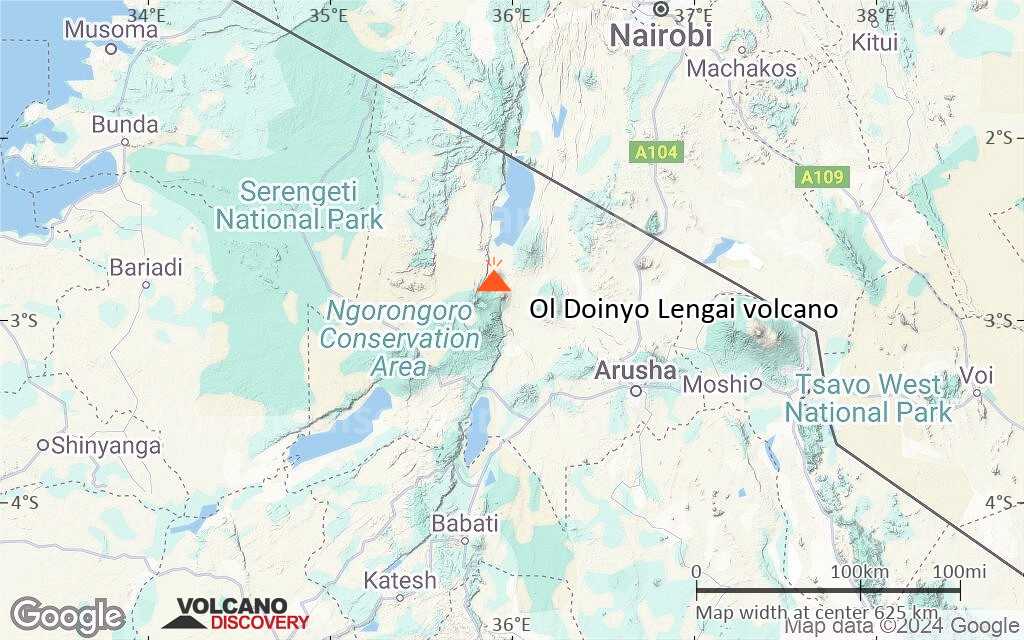
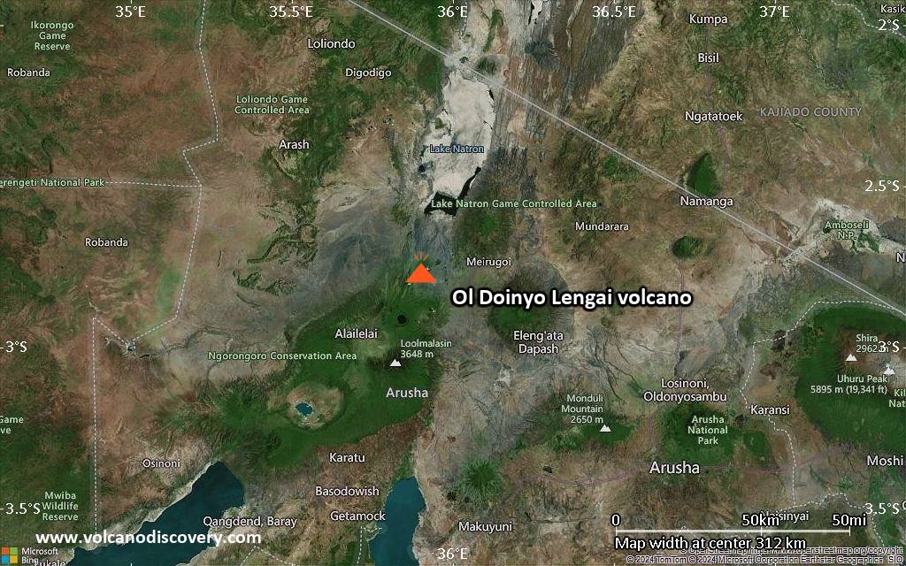
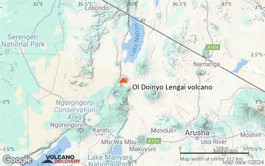
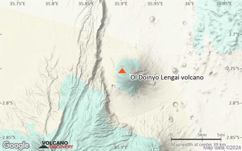
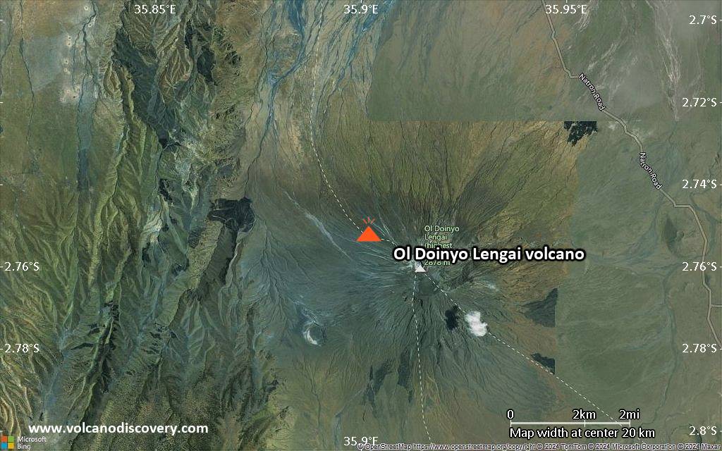
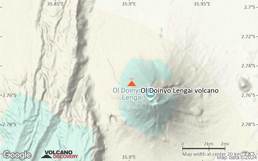
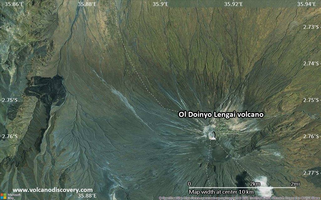
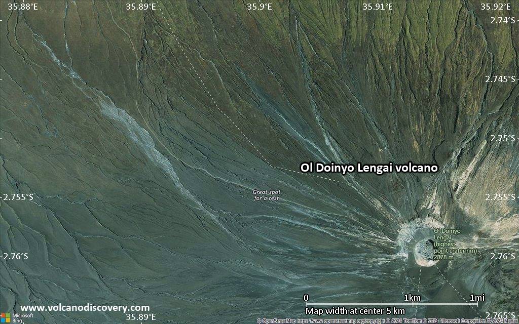
Ol Doinyo Lengai Volcano
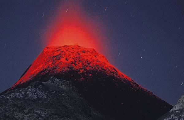
Ol Doinyo Lengai, a symmetrical, steep classical stratovolcano rises majestically about 2000m from the East Africal Rift Valley depression to a summit elevation of 2890 m. To the Maassai people, it is home of God, which is also the meaning of the name. Ol Doinyo Lengai is the only active volcano that erupts natrocarbonatite lava.
Ol Doinyo Lengai volcano eruptions: 1550 BC (?), 50 AD (?), 700 AD (?), 1350 (?), 1880, 1882, 1904, 1907, 1914, 1916, 1921, 1926, 1940, 1954, 1955, 1958, 1960, 1967, 1983, 1994, 2006, 2007-ongoing
Latest nearby earthquakes
| Date and Time | Mag / Depth | Distance / Location | |||
|---|---|---|---|---|---|
Background
Ol Doinyo Lengai is an extremely fascinating volcano: it is the only active volcano known to erupt carbonatite lava, a sensational discovery scientists made as recently as in the 1960s: the lavas it erupts are NOT melts based on silica, but on natroncarbonate!Thus, the temperatures of these lavas are much lower, "only" about 600 deg. C., and Lengai's lava does not emit enough light to glow during day,- only at night, a dull reddish glow that does not illuminate anything is visible. Also because of its peculiar chemical composition, the lava is extremely fluid and behaves very much like water, with the exception that it is black like oil. After it is cooled down it quickly alters and becomes a whitish powder.
Geologically, the present-day cone of the volcano was constructed about 15,000 years ago. Historical eruptions have been moderate to small explosive events. In addition to its intermittent explosive activity at intervals of typically years or decades, numerous natrocarbonitite lava flows have been erupted from vents on the floor of the active summit crater.
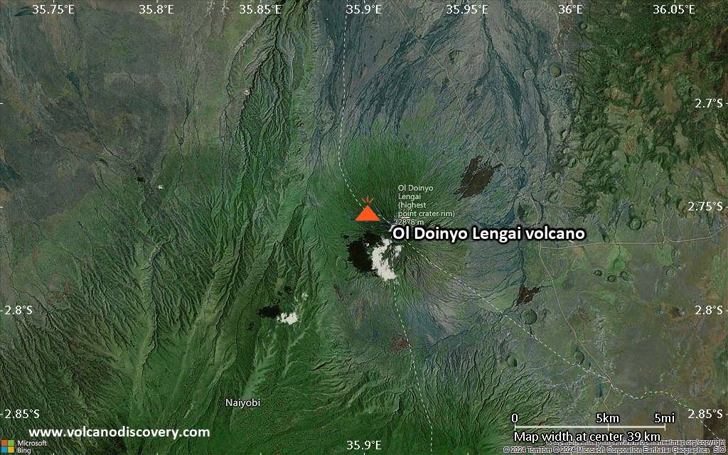
The depth and morphology of the active (northern) crater have changed dramatically during the course of historical eruptions, ranging from steep craters walls about 200 m deep in the mid-20th century to shallow platforms mostly filling the crater. Long-term lava effusion in the summit crater beginning in 1983 had by the turn of the century mostly filled the northern crater; by late 1998 uptill today lava had begun overflowing the crater rim.
Ol Doinyo Lengai Volcano Photos


Significant volcanic eruptions: Ol Doinyo Lengai volcano
Additionally, there are 3 uncertain or discredited eruptions from Ol Doinyo Lengai volcano.
| Date | Note | VEI | Deaths | Damage | ||
|---|---|---|---|---|---|---|
| North Crater Historical obs./docs. | 0 | |||||
| North Crater Historical obs./docs. | 0 | |||||
| North Crater Historical obs./docs. | 0 | |||||
| North Crater Historical obs./docs. | 0 | |||||
| North Crater Historical obs./docs. | 3 | |||||
| North Crater Historical obs./docs. | 1 | |||||
| North Crater Historical obs./docs. | 2 | |||||
Discredited Eruption | ||||||
?? | Uncertain Eruption | ? | ||||
| North Crater Historical obs./docs. | 3 | |||||
| 1967 Jul 8 (eruption | Historical obs./docs. | 3 | light | Info | ||
| North Crater Historical obs./docs. | 3 | |||||
| 1966 Aug 14 (eruption | Historical obs./docs. | 4 | light | Info | ||
| North Crater Historical obs./docs. | 1 | |||||
| North Crater Historical obs./docs. | 2 | |||||
| North Crater Historical obs./docs. | 2 | |||||
| North Crater Historical obs./docs. | 3 | |||||
| 1940 Jul 24 (eruption | Historical obs./docs. | 2 | light | Info | ||
| North Crater Historical obs./docs. | 2 | |||||
| North Crater Historical obs./docs. | 2 | |||||
| North Crater Historical obs./docs. | 3 | |||||
| 1917 Jan 1 (eruption | Historical obs./docs. | 3 | light | Info | ||
| North Crater Historical obs./docs. | ? | |||||
Historical obs./docs. | ? | |||||
| North Crater Historical obs./docs. | ? | |||||
| North Crater Historical obs./docs. | ? | |||||
Eruptions of Ol Doinyo Lengai volcano
Similarly to previous phases, new natrocarbonatite lava is being erupted from vents at the bottom of the new crater. If this activity continues, it might once again fill the crater.
Ol Doinyo Lengai Volcano FAQ
+When was the last eruption of Ol Doinyo Lengai volcano?
The last confirmed eruption of Ol Doinyo Lengai began in 2017 and is continuing (as of November 2025).
+How often does Ol Doinyo Lengai volcano erupt?
Since 1880, Ol Doinyo Lengai volcano has had at least 22 historically documented eruptions. This means that it erupts on average every 6.6 years.
Many eruptions of Ol Doinyo Lengai have lasted more than one year. In total, the volcano has been in eruption during 71 out of 145 years until now. In other words, Ol Doinyo Lengai has been active at least one in 2 years on average. Note that this value is likely an underestimate, because the known history of eruptions from Ol Doinyo Lengai is likely incomplete, especially further back in time.
+How active is Ol Doinyo Lengai volcano at present?
Ol Doinyo Lengai volcano is extremely active: Since 1900, it has been frequently active, showing eruptive activity during 68 years out of 126 as of now. The latest eruption is still continuing at present.
+When was the largest eruption of Ol Doinyo Lengai volcano?
The largest eruption of Ol Doinyo Lengai volcano in historic times occurred during 2007 - 2010. It ranks as a "vulcanian" eruption with a magnitude 3 on the VEI (Volcanic Explosivity Index) scale.
Latest satellite images

Price $ 4100
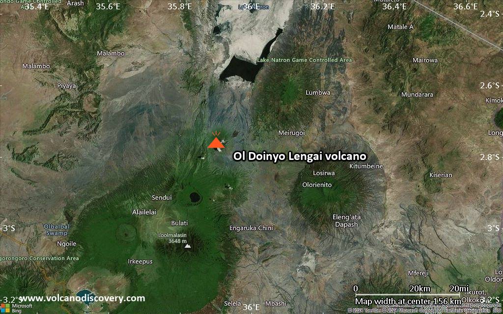
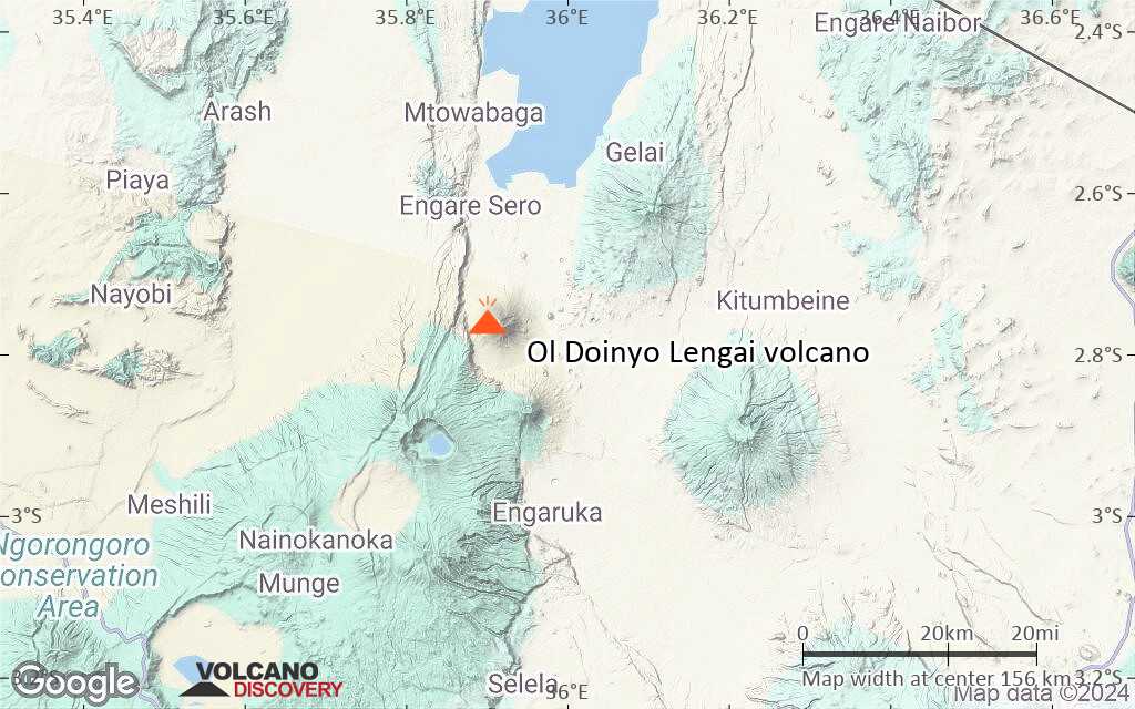
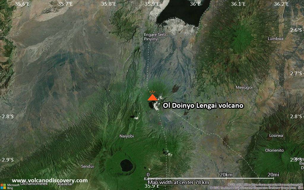
Ol Doinyo Lengai Volcano Maps