Ollague Volcano
Updated: May 21, 2025 16:24 GMT -
stratovolcano
Northern Chile, Bolivia and Argentina (South America), -21.3°S / -68.18°W 
Summit height: 5868 m / 19,252 ft
Current status: normal or dormant (1 out of 5)
Last update: 7 Jan 2023 (Volcanic Ash Advisory)
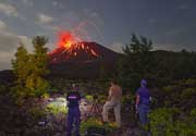
Volcán Ollagüe (also known as Oyahué) is a massive andesitic stratovolcano in northern Chile on the border with Bolivia. It contains a dacitic summit lava dome. No historical eruptions have been confirmed from Ollagüe, but there is intense fumarolic activity and a persistent steam plume emanates from a fumarole on the south side of the summit dome.
There are active sulphur mines on the upper western and southern flanks of the volcano which are serviced by a now disused switchback road which reaches 5650 m elevation and rank as one of the highest in the world.
[smaller] [larger]
Ollague volcano eruptions: possible eruption in 1903
Latest nearby earthquakes
| Date and Time | Mag / Depth | Distance / Location | |||
|---|---|---|---|---|---|
| May 19, 04:46 pm (La Paz) | 3.8 175 km | 27 km (17 mi) to the NE | Info | ||
| Thursday, May 15, 2025 GMT (2 quakes) | |||||
| May 15, 11:28 pm (Universal Time) | 2.5 143 km | 25 km (15 mi) to the S | Info | ||
| May 15, 08:49 am (GMT -4) | 3.0 126 km | 24 km (15 mi) to the W | Info | ||
| Wednesday, May 14, 2025 GMT (1 quake) | |||||
| May 14, 04:18 am (Universal Time) | 3.1 179 km | 19 km (12 mi) to the NE | Info | ||
| Monday, May 12, 2025 GMT (1 quake) | |||||
| May 12, 10:51 am (Universal Time) | 2.5 149 km | 17 km (10.7 mi) to the NW | Info | ||
| Saturday, May 10, 2025 GMT (1 quake) | |||||
| May 10, 07:39 am (Santiago) | 3.6 128 km | 25 km (16 mi) to the SW | Info | ||
| Thursday, May 8, 2025 GMT (1 quake) | |||||
| May 8, 07:36 am (GMT -4) | 2.9 131 km | 28 km (17 mi) to the SW | Info | ||
Background
Ollague Volcano suffered flank collapse during the Pleistocene and produced a large debris-avalanche deposit which extends westward and separates the Salar de San Martín from the Salar de Ollagüe salt flats.3 youthful-looking silicic lava flows were emplyed after the collapse, but are probably still older than the last glaciation about 11,000 years ago.
A youthful-looking scoria cone on the lower WSW flank, La Poruñita, was long believed to be relatively young, but has been dated to an age of 420,000 to 680,000 years.
(Source: Smithsonian Global Volcanism Program)
Significant volcanic eruptions: Ollague volcano
In the past 10,000 years, Ollague has had only one confirmed historic eruption ###WHEN1###|only one confirmed historic eruption ###WHEN1### and one ###WHEN2### inferred from geological evidence|only one confirmed historic eruption ###WHEN1###, but at least ###NUM_INFERRED### eruptions can be inferred from geological evidence|at least ###NUM_CONFIRMED### confirmed eruptions, all documented by historical records or observations|at least ###NUM_CONFIRMED### confirmed volcanic eruptions, out of which ###NUM_HISTORIC### are documented by historical records, while the others can be inferred from geological evidence.
No historic eruptions are known from Ollague volcano, but at least one eruption ###WHEN2### can be inferred from geological evidence|evidence from at least ###NUM_CONFIRMED### eruptions during the past 10,000 years can be found in the geological record.
There is one uncertain or discredited eruption in 1903 from Ollague volcano.
The table below lists all known eruptions (date in bold face) of Ollague volcano in historic times and during the past 10,000 years. Updates on the most recent volcanic activity of Ollague can be found on the news page of Ollague volcano.
| Date | Note | VEI | Deaths | Damage | |
|---|---|---|---|---|---|
?? | Uncertain Eruption | ? | |||
Remark:
Our list of volcanic eruptions closely follows the database of eruptions of the Smithsonian's Global Volcanism Project (GVP), the internationally most recognized data source for volcanic eruptions, but also includes significant eruptive episodes or related volcano events. "Volcanic eruptions" are usually to be understood as sequences of individual eruptive episodes that can follow each other, or even overlap (if several vents are involved), and can last many years, decades or even longer. For example, the current activity of Stromboli volcano is understood as a single eruption that has been ongoing since 1934.
Sources: NOAA National Centers for Environmental Information (NCEI), Global Significant Volcanic Eruptions Database. doi:10.7289/V5TD9V7K | Global Volcanism Project / Smithsonian Institution
Latest satellite images
Ollague Volcano Maps
Below is a selection of maps showing the location and surroundings of the volcano at various resolutions based on aerial-imagery / terrain maps. Feel free to use them for non-commercial purposes on your blog or website as long as you credit them with a link back to this page (click to copy it).
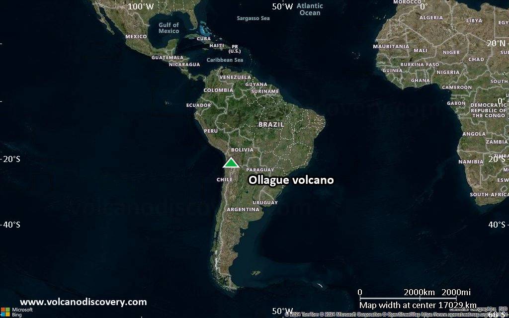
Satellite/aerial-type map of Ollague volcano (world scale)
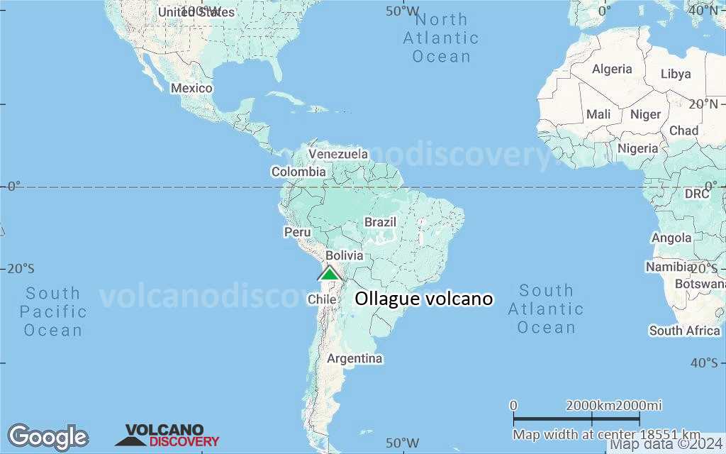
Terrain-type map of Ollague volcano (world scale)
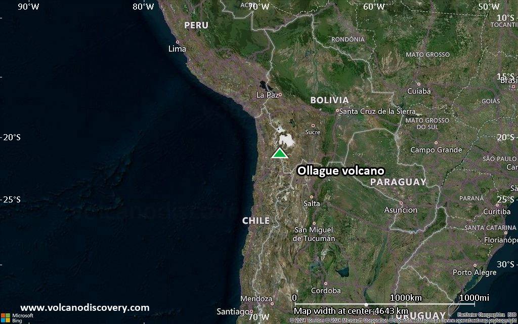
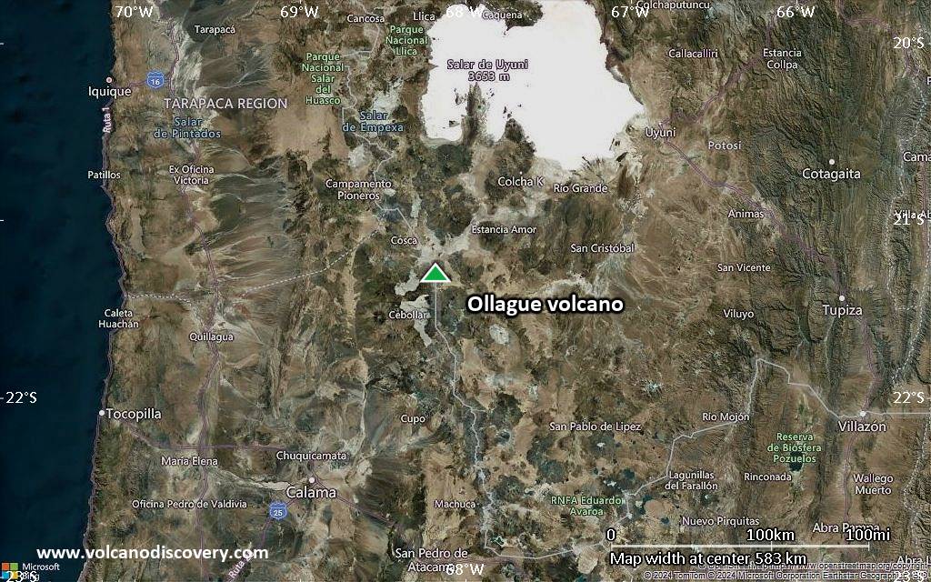
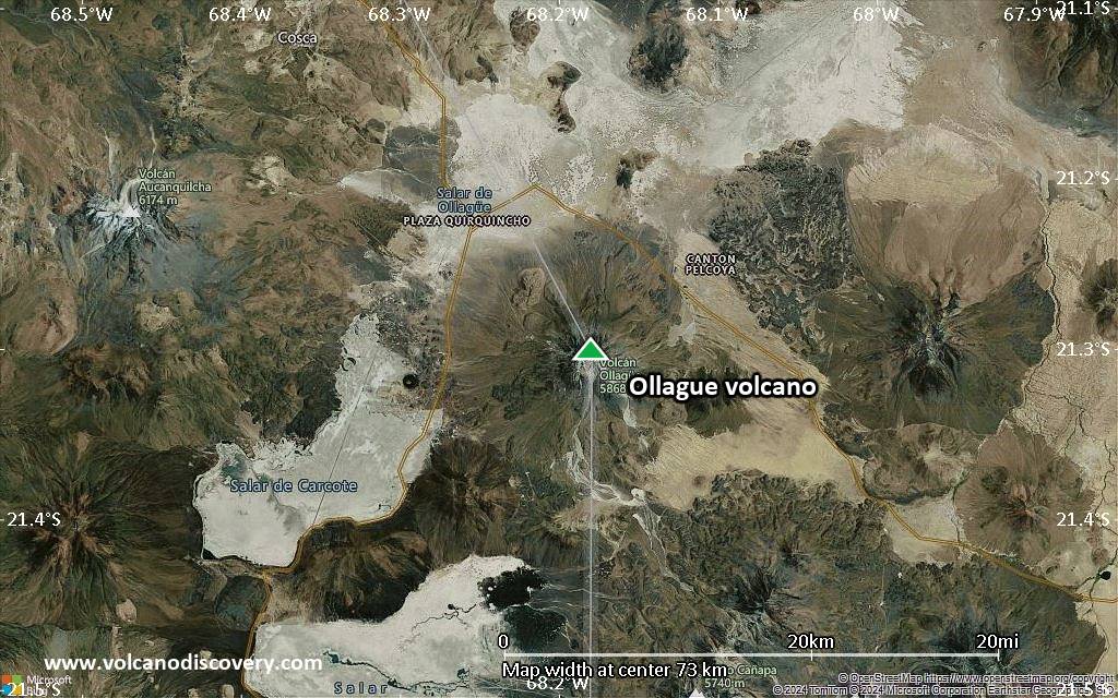
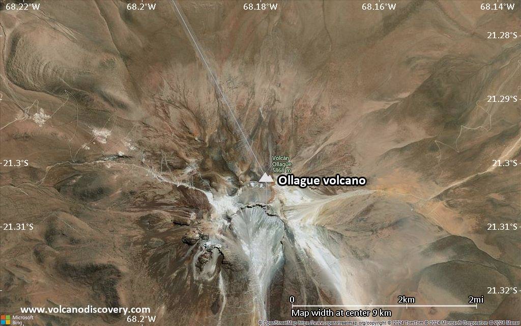
Satellite/aerial-type map of Ollague volcano (region scale large)
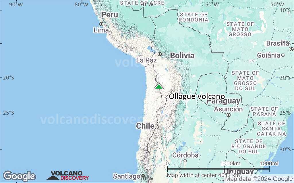
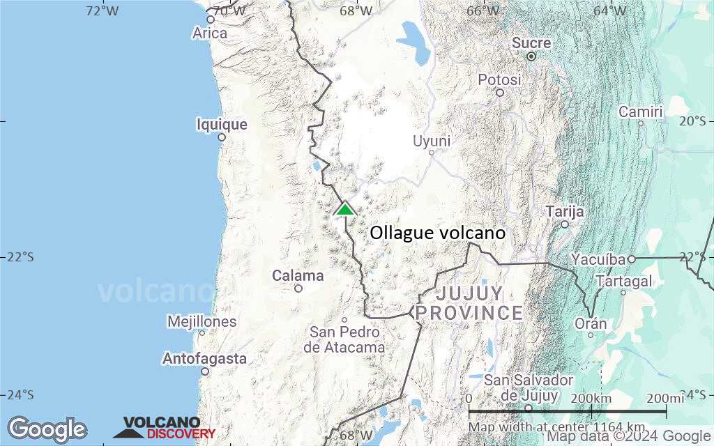
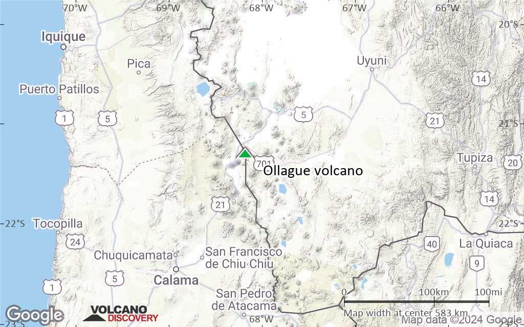
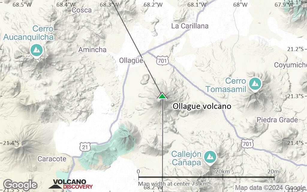
Terrain-type map of Ollague volcano (region scale large)

Satellite/aerial-type map of Ollague volcano (region scale medium)
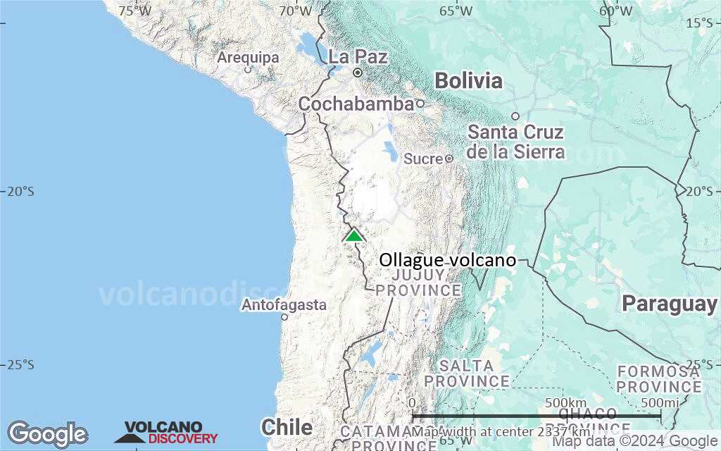
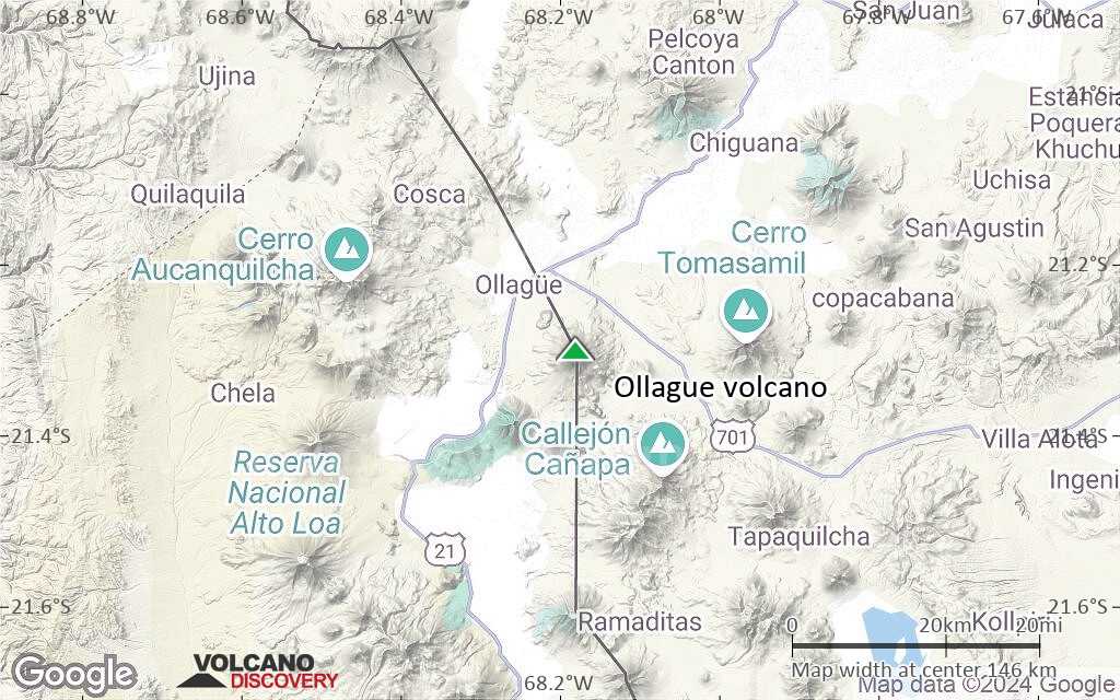
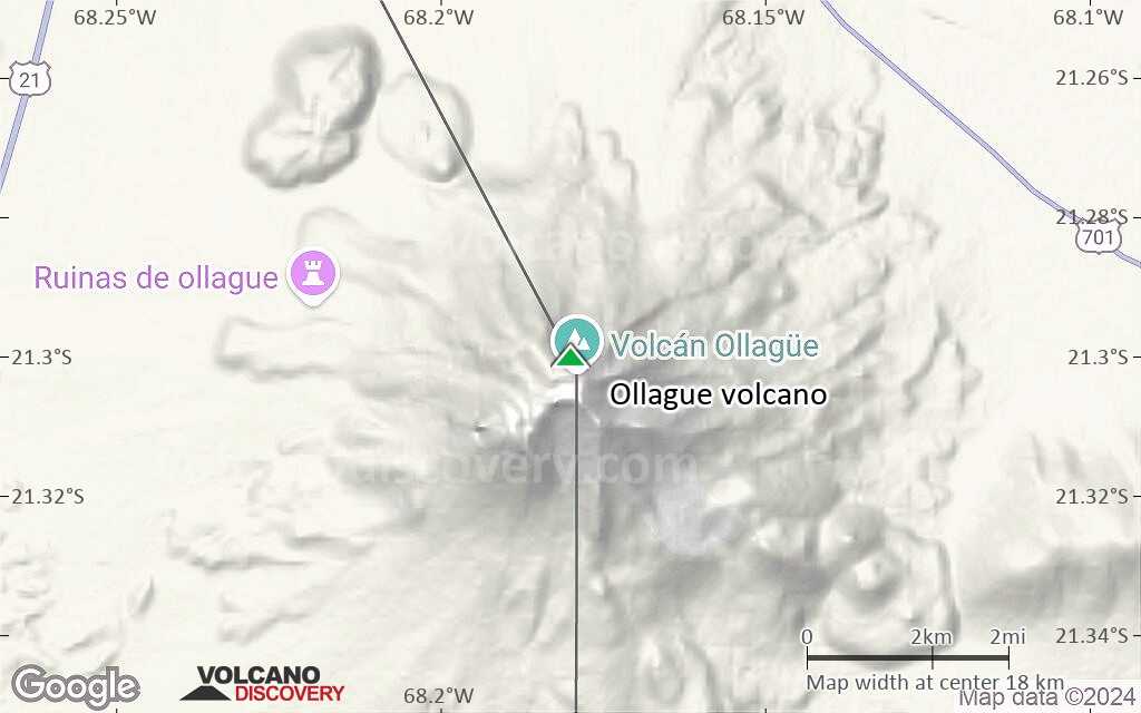
Terrain-type map of Ollague volcano (region scale medium)

Satellite/aerial-type map of Ollague volcano (region scale small)
Terrain-type map of Ollague volcano (region scale small)
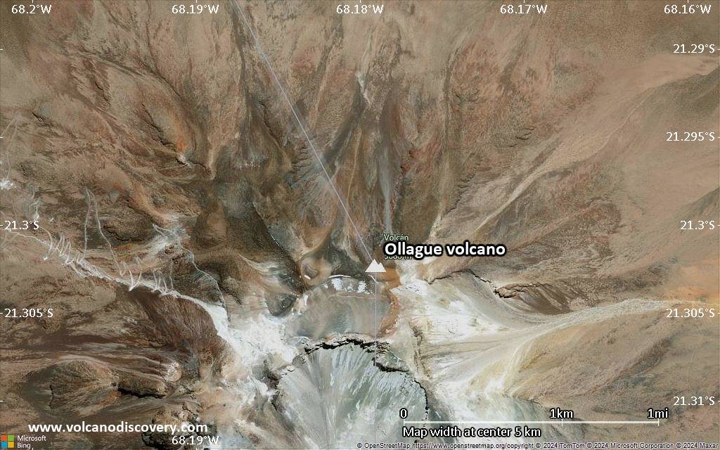
Satellite/aerial-type map of Ollague volcano (local scale large)
Terrain-type map of Ollague volcano (local scale large)

Satellite/aerial-type map of Ollague volcano (local scale medium)

Terrain-type map of Ollague volcano (local scale medium)
Satellite/aerial-type map of Ollague volcano (local scale small)
Terrain-type map of Ollague volcano (local scale small)
Satellite/aerial-type map of Ollague volcano (scale of 10s of km)
Terrain-type map of Ollague volcano (scale of 10s of km)
Satellite/aerial-type map of Ollague volcano (scale of 20-40 km)

Terrain-type map of Ollague volcano (scale of 20-40 km)

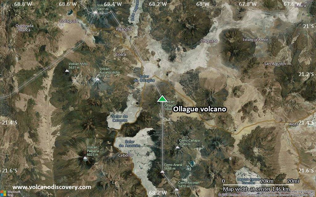
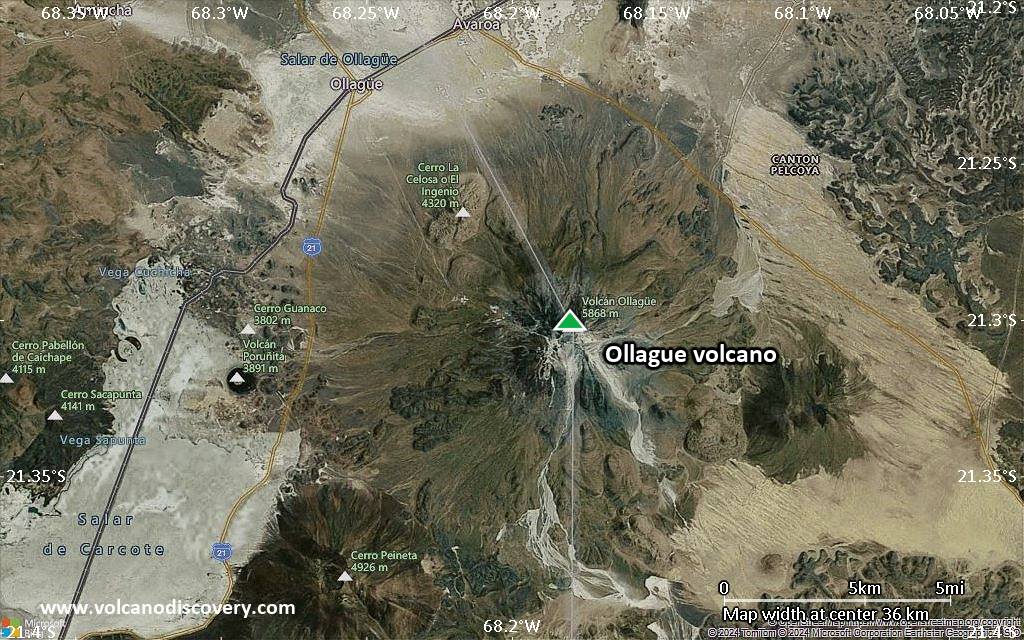
Satellite/aerial-type map of Ollague volcano (scale of approx. 10-20 km)
Terrain-type map of Ollague volcano (scale of approx. 10-20 km)
Satellite/aerial-type map of Ollague volcano (scale of 5-10 km)
Satellite/aerial-type map of Ollague volcano (scale of few kilometers)