


Punta Pulpito Volcano
Updated: Nov 9, 2025 15:50 GMT -
lava dome
Baja California, Mexico, 26.52°N / -111.48°W 
Summit height: unknown elevation
Current status: (probably) extinct (0 out of 5)
Punta Púlpito volcano is a lava dome which formed about 500,000 years ago on a small peninsula at the Gulf of California east of the southern tip of Bahía Concepción.
It is included in the catalogue of potentially active volcanoes because it still has an active geothermal system with hot springs and steaming ground.
One active geothermal field is known as the Saquicismunde geothermal area, and the larger Los Volcanes geothermal area, located along the coast about 5 km south of Punta el Púlpito, contains 18 fumaroles along a NW-SE alignment.
[smaller] [larger]
Punta Pulpito volcano eruptions: no eruptions within the past 10,000 years
Latest nearby earthquakes
| Date and Time | Mag / Depth | Distance / Location | |||
|---|---|---|---|---|---|
Latest satellite images

Punta Pulpito Volcano Maps
Below is a selection of maps showing the location and surroundings of the volcano at various resolutions based on aerial-imagery / terrain maps. Feel free to use them for non-commercial purposes on your blog or website as long as you credit them with a link back to this page (click to copy it).

Satellite/aerial-type map of Punta Pulpito volcano (world scale)
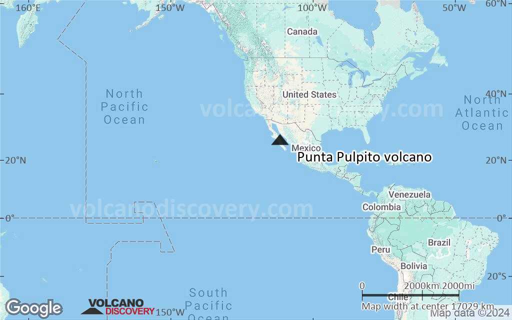
Terrain-type map of Punta Pulpito volcano (world scale)

Satellite/aerial-type map of Punta Pulpito volcano (region scale large)

Terrain-type map of Punta Pulpito volcano (region scale large)

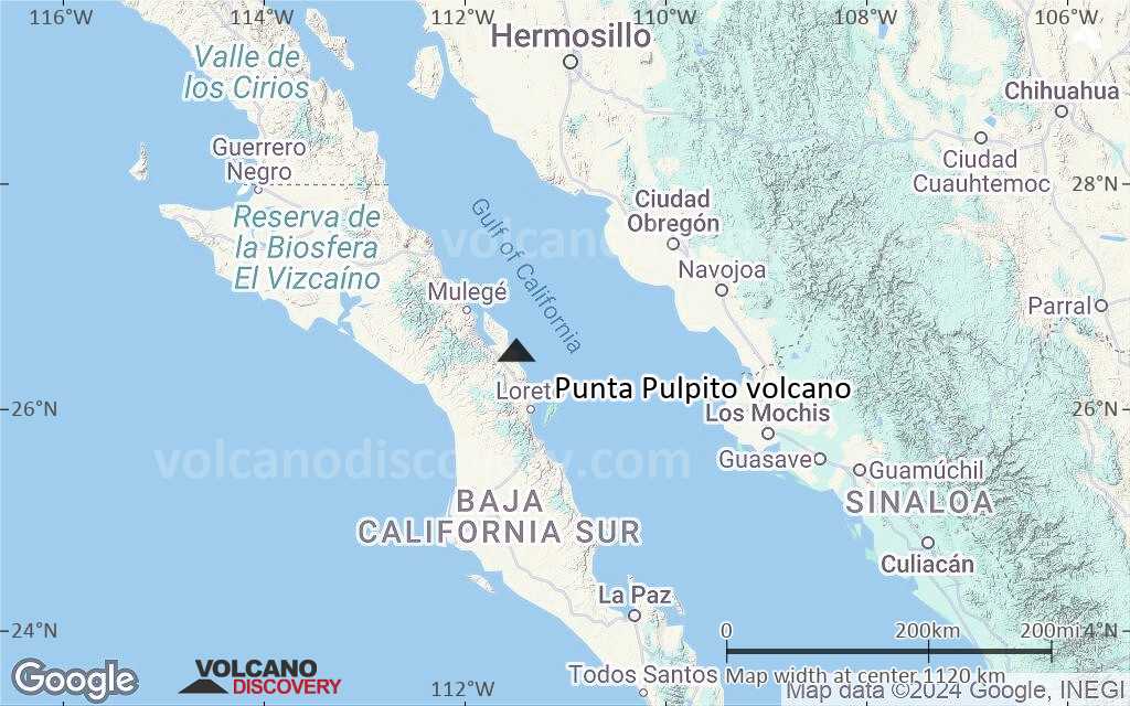
Satellite/aerial-type map of Punta Pulpito volcano (region scale medium)

Terrain-type map of Punta Pulpito volcano (region scale medium)

Satellite/aerial-type map of Punta Pulpito volcano (region scale small)
Terrain-type map of Punta Pulpito volcano (region scale small)

Satellite/aerial-type map of Punta Pulpito volcano (local scale large)

Terrain-type map of Punta Pulpito volcano (local scale large)

Satellite/aerial-type map of Punta Pulpito volcano (local scale medium)

Terrain-type map of Punta Pulpito volcano (local scale medium)

Satellite/aerial-type map of Punta Pulpito volcano (local scale small)

Terrain-type map of Punta Pulpito volcano (local scale small)

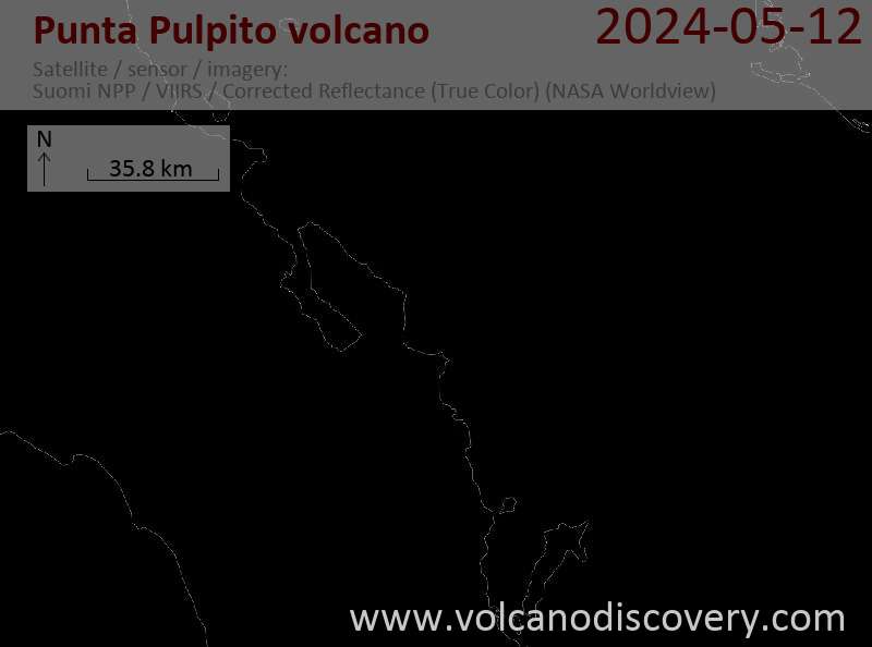
Satellite/aerial-type map of Punta Pulpito volcano (scale of 10s of km)

Terrain-type map of Punta Pulpito volcano (scale of 10s of km)

Satellite/aerial-type map of Punta Pulpito volcano (scale of 20-40 km)

Terrain-type map of Punta Pulpito volcano (scale of 20-40 km)

Satellite/aerial-type map of Punta Pulpito volcano (scale of approx. 10-20 km)

Terrain-type map of Punta Pulpito volcano (scale of approx. 10-20 km)

Satellite/aerial-type map of Punta Pulpito volcano (scale of 5-10 km)
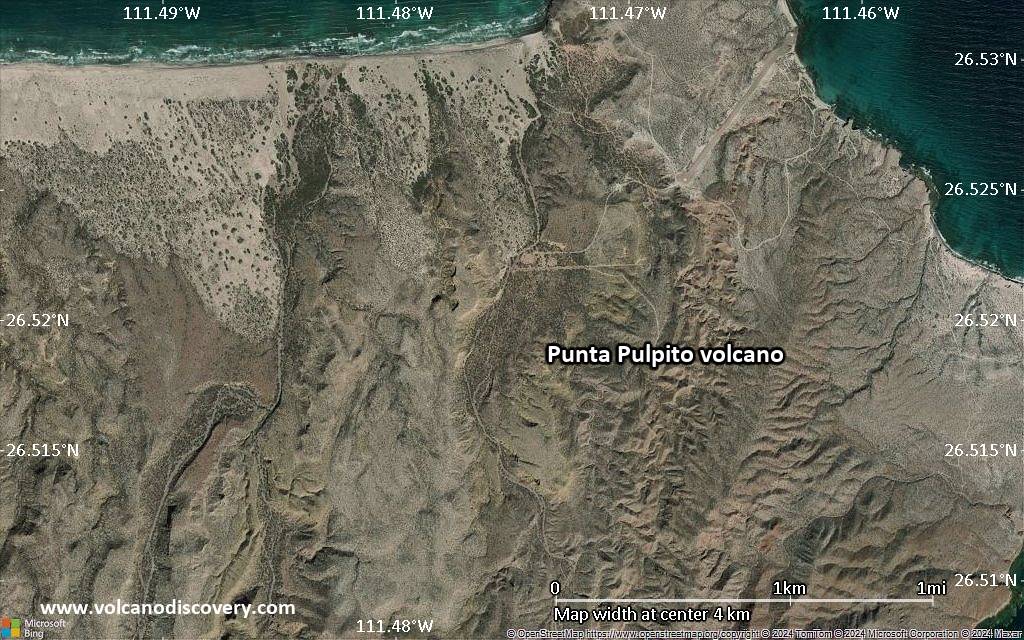
Satellite/aerial-type map of Punta Pulpito volcano (scale of few kilometers)


