


Raung Volcano
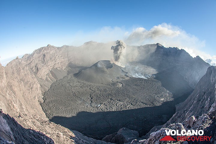
Raung in Eastern Java in the Ijen Plateau is one of Java's most active volcanoes, with frequent explosive eruptions every few years. Raung is a massive stratovolcano constructed SW of the rim of the Ijen caldera. Its 3332-m-high, unvegetated summit of Gunung Raung is truncated by a dramatic steep-walled, 2-km-wide caldera where all of the frequent historical eruptions took place.
Raung volcano eruptions: 1586 (?), 1593 (large sub-plinian eruption), 1597, 1638, 1730, 1804+-4y, 1812-14, 1815 +-1y, 1817, 1838, 1849, 1859, 1860, 1864, 1881, 1885, 1890, 1896, 1897, 1902, 1903, 1913, 1915, 1916, 1917, 1921, 1924, 1924, 1927-28, 1928, 1929, 1933, 1936, 1937, 1938-39, 1940, 1941, 1943, 1944-45, 1953, 1955, 1956, 1971, 1973, 1974, 1975, 1976, 1977, 1978, 1982, 1985, 1987-89, 1990, 1991, 1993, 1994, 1995, 1995 (?), 1997, 1999, Jul 2000, Jun-Aug 2002, Apr-Oct 2004 (?), Jul-Aug 2005 (?), Aug 2007 (?), 2012, 2014-15, 2020-ongoing
Latest nearby earthquakes
| Date and Time | Mag / Depth | Distance / Location | |||
|---|---|---|---|---|---|
Background
A prehistoric collapse of Gunung Gadung on the west flank produced a large debris avalanche that traveled 79 km from the volcano, reaching nearly to the Indian Ocean. Raung contains several centers constructed along a NE-SW line, with Gunung Suket and Gunung Gadung stratovolcanoes being located to the NE and west, respectively.---
Source: adapted from GVP (Global Volcanism Program)
Raung Volcano Photos


Significant volcanic eruptions: Raung volcano
| Date | Note | VEI | Deaths | Damage | |
|---|---|---|---|---|---|
Historical obs./docs. | ? | ||||
Historical obs./docs. | 2 | ||||
Historical obs./docs. | 2 | ||||
Historical obs./docs. | 1 | ||||
| Summit crater Historical obs./docs. | 2 | ||||
?? | Uncertain Eruption Historical obs./docs. | 1 | |||
| Summit crater Historical obs./docs. | 1 | ||||
| Summit crater Historical obs./docs. | 1 | ||||
Historical obs./docs. | 2 | ||||
Historical obs./docs. | 2 | ||||
?? | Uncertain Eruption | 2? | |||
?? | Uncertain Eruption | 2? | |||
Historical obs./docs. | 2 | ||||
Historical obs./docs. | 2? | ||||
Historical obs./docs. | 2 | ||||
Historical obs./docs. | 2 | ||||
?? | Uncertain Eruption | 2? | |||
Historical obs./docs. | 1 | ||||
Historical obs./docs. | 1 | ||||
Historical obs./docs. | 1 | ||||
Historical obs./docs. | 2 | ||||
Historical obs./docs. | 2 | ||||
Historical obs./docs. | 1 | ||||
Historical obs./docs. | 2 | ||||
Historical obs./docs. | 3 | ||||
Historical obs./docs. | 1 | ||||
Historical obs./docs. | 2 | ||||
Historical obs./docs. | 2 | ||||
Historical obs./docs. | 1 | ||||
Historical obs./docs. | 2 | ||||
Historical obs./docs. | 1 | ||||
Historical obs./docs. | 1 | ||||
Historical obs./docs. | 3 | ||||
Historical obs./docs. | 2? | ||||
Historical obs./docs. | 3 | ||||
Historical obs./docs. | 2 | ||||
Historical obs./docs. | 2 | ||||
Historical obs./docs. | 2 | ||||
Historical obs./docs. | 2 | ||||
Historical obs./docs. | 2 | ||||
Historical obs./docs. | 2 | ||||
Historical obs./docs. | 2 | ||||
Historical obs./docs. | 2 | ||||
Historical obs./docs. | 2 | ||||
Historical obs./docs. | 2 | ||||
| Central cone and NW crater wall Historical obs./docs. | 2 | ||||
?? | Uncertain Eruption | 2? | |||
Historical obs./docs. | 2 | ||||
| 1913 cone Historical obs./docs. | 2 | ||||
Historical obs./docs. | 2 | ||||
Historical obs./docs. | 2 | ||||
Historical obs./docs. | 2 | ||||
Historical obs./docs. | 2 | ||||
Historical obs./docs. | 2 | ||||
Historical obs./docs. | 2 | ||||
Raung Volcano FAQ
+When was the last eruption of Raung volcano?
The last confirmed eruption of Raung occurred in 2024.
+How often does Raung volcano erupt?
Since 1593 AD, Raung volcano has had at least 69 historically documented eruptions. This means that it erupts on average every 6.3 years.
+How active is Raung volcano at present?
Raung volcano is extremely active: Since 1900, it has had 58 eruptions, and been active during 58 years out of 126 as of now. This means, Raung has been in eruption one in 2.2 years on average. The last eruption was in 2024 and ended 11 months ago.
+When was the largest eruption of Raung volcano?
The largest eruption of Raung volcano in historic times occurred in 1593 AD. It ranks as a plinian eruption with a magnitude 5 on the VEI (Volcanic Explosivity Index) scale. Eruption of this size are often catastrophic on a regional scale.
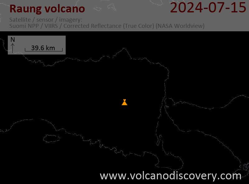
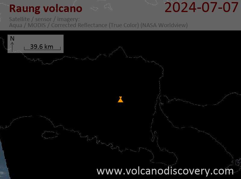
Latest satellite images
Raung Volcano Maps


