


Rio Murta Volcano
Updated: Nov 10, 2025 11:44 GMT -
pyroclastic cones
Southern Chile and Argentina (South America), -46.17°S / -72.67°W 
Summit height: unknown
Current status: (probably) extinct (0 out of 5)
Río Murta volcano is a group of basaltic lava flows emplaced on valley floors along the Río Murta, about 30 km SE of Hudson volcano in southern Chile.
[smaller] [larger]
Rio Murta volcano eruptions: unknown
Latest nearby earthquakes
| Date and Time | Mag / Depth | Distance / Location | |||
|---|---|---|---|---|---|
Background
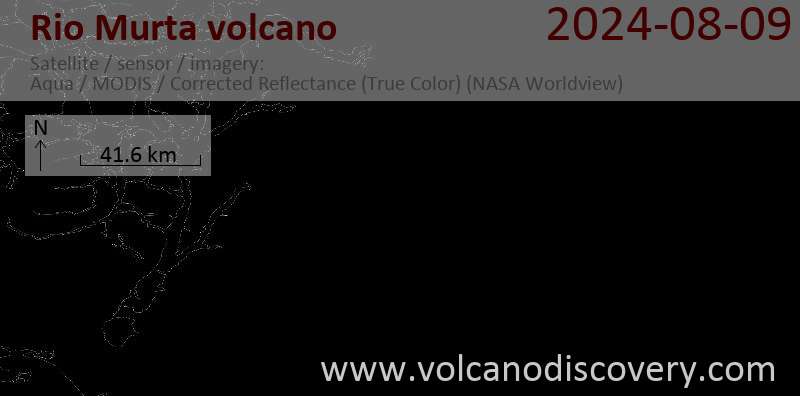
The Río Murta river follows a glacial valley cut into granitic rocks of the North Patagonian Batholith. The columnar-jointed lava flows include pillow lavas, lava tubes, and subglacial and sublacustral deposits. They have been considered to be of Holocene age due to lack of erosion, but recent studies suggest an age of 850,000-900,000 years ago for most flows, while at least some flows could be still Holocene in age.Latest satellite images

Rio Murta Volcano Maps
Below is a selection of maps showing the location and surroundings of the volcano at various resolutions based on aerial-imagery / terrain maps. Feel free to use them for non-commercial purposes on your blog or website as long as you credit them with a link back to this page (click to copy it).

Satellite/aerial-type map of Rio Murta volcano (world scale)

Terrain-type map of Rio Murta volcano (world scale)

Satellite/aerial-type map of Rio Murta volcano (region scale large)

Terrain-type map of Rio Murta volcano (region scale large)

Satellite/aerial-type map of Rio Murta volcano (region scale medium)

Terrain-type map of Rio Murta volcano (region scale medium)

Satellite/aerial-type map of Rio Murta volcano (region scale small)

Terrain-type map of Rio Murta volcano (region scale small)

Satellite/aerial-type map of Rio Murta volcano (local scale large)

Terrain-type map of Rio Murta volcano (local scale large)

Satellite/aerial-type map of Rio Murta volcano (local scale medium)

Terrain-type map of Rio Murta volcano (local scale medium)

Satellite/aerial-type map of Rio Murta volcano (local scale small)

Terrain-type map of Rio Murta volcano (local scale small)

Satellite/aerial-type map of Rio Murta volcano (scale of 10s of km)

Terrain-type map of Rio Murta volcano (scale of 10s of km)

Satellite/aerial-type map of Rio Murta volcano (scale of 20-40 km)

Terrain-type map of Rio Murta volcano (scale of 20-40 km)

Satellite/aerial-type map of Rio Murta volcano (scale of approx. 10-20 km)

Terrain-type map of Rio Murta volcano (scale of approx. 10-20 km)

Satellite/aerial-type map of Rio Murta volcano (scale of 5-10 km)

Satellite/aerial-type map of Rio Murta volcano (scale of few kilometers)


