


Steller Volcano
Updated: Nov 25, 2025 06:10 GMT -
Stratovolcano
United States, Alaska Peninsula, 58.43°N / -154.4°W 
Summit height: 2272 m / 7,454 ft
Current status: normal or dormant (1 out of 5)
[smaller] [larger]
Steller volcano eruptions: unknown, no recent eruptions
Latest nearby earthquakes
| Date and Time | Mag / Depth | Distance / Location | |||
|---|---|---|---|---|---|
| Nov 23, 04:10 pm (Universal Time) | 0.5 5 km | 28 km (18 mi) to the W | Info | ||
| Nov 23, 03:26 am (Universal Time) | 2.2 88 km | 27 km (17 mi) to the NE | Info | ||
| Thursday, November 20, 2025 GMT (1 quake) | |||||
| Nov 20, 07:31 am (Universal Time) | 0.4 5.9 km | 22 km (14 mi) to the W | Info | ||
| Wednesday, November 19, 2025 GMT (2 quakes) | |||||
| Nov 19, 08:38 pm (Universal Time) | 1.9 5 km | 5 km (3.1 mi) to the E | Info | ||
| Nov 19, 04:22 pm (Universal Time) | 0.4 4.2 km | 5.2 km (3.2 mi) to the SW | Info | ||
| Tuesday, November 18, 2025 GMT (1 quake) | |||||
| Nov 18, 10:03 am (Universal Time) | 0.0 5.5 km | 14 km (8.9 mi) to the SW | Info | ||
| Sunday, November 16, 2025 GMT (3 quakes) | |||||
| Nov 16, 06:09 pm (Universal Time) | 0.3 5.5 km | 2.3 km (1.4 mi) to the W | Info | ||
| Nov 16, 02:29 pm (Universal Time) | 1.0 7.6 km | 16 km (9.9 mi) to the N | Info | ||
| Nov 16, 01:08 pm (Universal Time) | 0.8 2.1 km | 22 km (14 mi) to the N | Info | ||
Background
Mount Steller is part of a chain of closely spaced NE-SW-trending vents in Katmai National Park and lies between Mount Denision and Kukak volcanoes. Uncertainty surrounds the number and location of volcanic vents in this heavily glaciated area. The precise age of the most recent activity at Steller volcano is not known, but the volcano was considered to have been active during the Holocene (Nye et al., 1998).---
Smithsonian / GVP volcano information
Steller Volcano Photos

If you believe the novelist Jules Verne Snæfellsjökull volcano in Iceland is the entrance to the centre of the earth. (Photo: Janka)
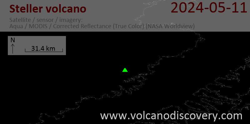
Latest satellite images

Steller Volcano Maps
Below is a selection of maps showing the location and surroundings of the volcano at various resolutions based on aerial-imagery / terrain maps. Feel free to use them for non-commercial purposes on your blog or website as long as you credit them with a link back to this page (click to copy it).

Satellite/aerial-type map of Steller volcano (world scale)

Terrain-type map of Steller volcano (world scale)

Satellite/aerial-type map of Steller volcano (region scale large)

Terrain-type map of Steller volcano (region scale large)

Satellite/aerial-type map of Steller volcano (region scale medium)

Terrain-type map of Steller volcano (region scale medium)

Satellite/aerial-type map of Steller volcano (region scale small)

Terrain-type map of Steller volcano (region scale small)

Satellite/aerial-type map of Steller volcano (local scale large)

Terrain-type map of Steller volcano (local scale large)

Satellite/aerial-type map of Steller volcano (local scale medium)

Terrain-type map of Steller volcano (local scale medium)

Satellite/aerial-type map of Steller volcano (local scale small)

Terrain-type map of Steller volcano (local scale small)

Satellite/aerial-type map of Steller volcano (scale of 10s of km)

Terrain-type map of Steller volcano (scale of 10s of km)

Satellite/aerial-type map of Steller volcano (scale of 20-40 km)

Terrain-type map of Steller volcano (scale of 20-40 km)

Satellite/aerial-type map of Steller volcano (scale of approx. 10-20 km)

Terrain-type map of Steller volcano (scale of approx. 10-20 km)

Satellite/aerial-type map of Steller volcano (scale of 5-10 km)

Satellite/aerial-type map of Steller volcano (scale of few kilometers)


