


Taftan Volcano
Updated: Nov 10, 2025 06:55 GMT -
stratovolcano
Beluchistan, SE Iran, 28.6°N / 61.13°E 
Summit height: 3940 m / 12,926 ft
Current status: normal or dormant (1 out of 5)
Taftan volcano is a strongly eroded stratovolcano in SE Iran. The andesitic volcano has 2 summits (Narkuh and Matherkuh). Very active sulfur fumaroles are found at the summit of the higher SE cone.
Reports of activity in 1902 and 1993 are uncertain.
[smaller] [larger]
Taftan volcano eruptions: 1993 (?), 1902 (?)
probably no recent eruptions
Latest nearby earthquakes
| Date and Time | Mag / Depth | Distance / Location | |||
|---|---|---|---|---|---|
Background
Taftan volcano was constructed along a volcanic zone in Beluchistan, SE Iran, that extends into northern Pakistan. There are fresh-looking lava flows that were erupted from the SE cone. The deeply eroded NW cone is extinct and of Pleistocene age.According to Iranian maps, the elevation of the volcanically active SE summit shown is 3,940 m, and the older dissected NW summit is 3,840 m.
Several necks, remnants of older cinder cones, are located in the plain W from Taftan, as well as a second (probably extinct) stratovolcano, Buzman (around 3,500 m summit elevation), which is largely unknown.
Significant volcanic eruptions: Taftan volcano
In the past 10,000 years, Taftan has had only one confirmed historic eruption ###WHEN1###|only one confirmed historic eruption ###WHEN1### and one ###WHEN2### inferred from geological evidence|only one confirmed historic eruption ###WHEN1###, but at least ###NUM_INFERRED### eruptions can be inferred from geological evidence|at least ###NUM_CONFIRMED### confirmed eruptions, all documented by historical records or observations|at least ###NUM_CONFIRMED### confirmed volcanic eruptions, out of which ###NUM_HISTORIC### are documented by historical records, while the others can be inferred from geological evidence.
No historic eruptions are known from Taftan volcano, but at least one eruption ###WHEN2### can be inferred from geological evidence|evidence from at least ###NUM_CONFIRMED### eruptions during the past 10,000 years can be found in the geological record.
There are only 2 uncertain or discredited eruptions from Taftan volcano during the past 10,000 years.
The table below lists all known eruptions (date in bold face) of Taftan volcano in historic times and during the past 10,000 years. Updates on the most recent volcanic activity of Taftan can be found on the news page of Taftan volcano.
| Date | Note | VEI | Deaths | Damage | |
|---|---|---|---|---|---|
?? | Uncertain Eruption | ? | |||
?? | Uncertain Eruption | ? | |||
Remark:
Our list of volcanic eruptions closely follows the database of eruptions of the Smithsonian's Global Volcanism Project (GVP), the internationally most recognized data source for volcanic eruptions, but also includes significant eruptive episodes or related volcano events. "Volcanic eruptions" are usually to be understood as sequences of individual eruptive episodes that can follow each other, or even overlap (if several vents are involved), and can last many years, decades or even longer. For example, the current activity of Stromboli volcano is understood as a single eruption that has been ongoing since 1934.
Sources: NOAA National Centers for Environmental Information (NCEI), Global Significant Volcanic Eruptions Database. doi:10.7289/V5TD9V7K | Global Volcanism Project / Smithsonian Institution
Eruptions of Taftan volcano
1993 possible eruption
A lava flow was reported at Taftan in 1993, but it is generally agreed that the report was a mistaken observation of a molten sulfur flow.
The report came from the Islamic Republic News Agency and stated that a lava flow traveled about 60 m downslope on 25 April. No additional information could be obtained.
1902 possible activity
In January 1902, Taftan volcano was reported to be smoking heavily for several days, with occasional strong night-time glow.
In January 1902, Taftan volcano was reported to be smoking heavily for several days, with occasional strong night-time glow.
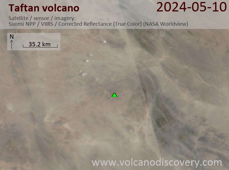
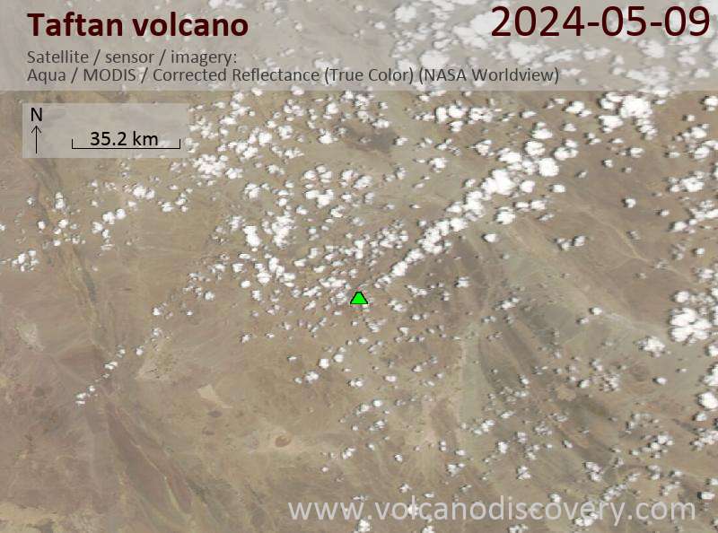
Latest satellite images
Taftan Volcano Maps
Below is a selection of maps showing the location and surroundings of the volcano at various resolutions based on aerial-imagery / terrain maps. Feel free to use them for non-commercial purposes on your blog or website as long as you credit them with a link back to this page (click to copy it).

Satellite/aerial-type map of Taftan volcano (world scale)

Terrain-type map of Taftan volcano (world scale)

Satellite/aerial-type map of Taftan volcano (region scale large)

Terrain-type map of Taftan volcano (region scale large)

Satellite/aerial-type map of Taftan volcano (region scale medium)

Terrain-type map of Taftan volcano (region scale medium)

Satellite/aerial-type map of Taftan volcano (region scale small)

Terrain-type map of Taftan volcano (region scale small)

Satellite/aerial-type map of Taftan volcano (local scale large)

Terrain-type map of Taftan volcano (local scale large)

Satellite/aerial-type map of Taftan volcano (local scale medium)

Terrain-type map of Taftan volcano (local scale medium)

Satellite/aerial-type map of Taftan volcano (local scale small)

Terrain-type map of Taftan volcano (local scale small)

Satellite/aerial-type map of Taftan volcano (scale of 10s of km)

Terrain-type map of Taftan volcano (scale of 10s of km)

Satellite/aerial-type map of Taftan volcano (scale of 20-40 km)

Terrain-type map of Taftan volcano (scale of 20-40 km)

Satellite/aerial-type map of Taftan volcano (scale of approx. 10-20 km)

Terrain-type map of Taftan volcano (scale of approx. 10-20 km)

Satellite/aerial-type map of Taftan volcano (scale of 5-10 km)

Satellite/aerial-type map of Taftan volcano (scale of few kilometers)


