


Udokan Volcano
Updated: Nov 10, 2025 07:26 GMT -
pyroclastic cones
southeastern Russia, 56.28°N / 117.77°E 
Summit height: 2180 m / 7,152 ft
Current status: normal or dormant (1 out of 5)
The Udokan Plateau volcano is a volcanic field located in southeastern Russia 400 km ENE of the Baikal Lake. The field contains cinder cones, lava domes, lava flows and explosion craters (maars).
The latest eruption took place at Chepe volcano about 2200 years ago.
[smaller] [larger]
Udokan volcano eruptions: 220 BC ± 50, 2670 BC ± 100, 5990 BC ± 100, 6210 BC ± 100, 7290 BC ± 100 years (radiocarbon dates)
Latest nearby earthquakes
| Date and Time | Mag / Depth | Distance / Location | |||
|---|---|---|---|---|---|
Background
The Udokan Plateau volcanic field belongs to a 3000 sq km large area of quaternary volcanism at the eastern margin of the Baikal Rift System. Activity in this area dates back to the Miocene.Late-Pleistocene to Holocene volcanic centers are concentrated along 3 major lineaments, and many eruptions were localized along fissures trending NW-SE and NE-SW.
Dated Holocene volcanic centers are located on a 20-km-long line at the SW side of the volcanic field, but Holocene cinder cones also occur in the NE Udokan Plateau.
Seismic activity has been recorded at depths of 15 to 20 km beneath some of the cones. The Udokan volcanic field is dominated by basaltic cinder cones, but basal trachytic ignimbrites are also overlain by lava domes and flows, and trachytic maars were formed during the final stages of activity.
---
Source: Smithsonian Institution / GVP
Significant volcanic eruptions: Udokan volcano
No historic eruptions are known from Udokan volcano, but evidence from at least 5 eruptions during the past 10,000 years can be found in the geological record.
The table below lists all known eruptions (date in bold face) of Udokan volcano in historic times and during the past 10,000 years. Updates on the most recent volcanic activity of Udokan can be found on the news page of Udokan volcano.
| Date | Note | VEI | Deaths | Damage | |
|---|---|---|---|---|---|
| Chepe | ? | ||||
| Aku | ? | ||||
| Dolinnyi | ? | ||||
| Khangura | ? | ||||
| Sini | ? | ||||
Remark:
Our list of volcanic eruptions closely follows the database of eruptions of the Smithsonian's Global Volcanism Project (GVP), the internationally most recognized data source for volcanic eruptions, but also includes significant eruptive episodes or related volcano events. "Volcanic eruptions" are usually to be understood as sequences of individual eruptive episodes that can follow each other, or even overlap (if several vents are involved), and can last many years, decades or even longer. For example, the current activity of Stromboli volcano is understood as a single eruption that has been ongoing since 1934.
Sources: NOAA National Centers for Environmental Information (NCEI), Global Significant Volcanic Eruptions Database. doi:10.7289/V5TD9V7K | Global Volcanism Project / Smithsonian Institution
Udokan Volcano FAQ
+When was the last eruption of Udokan volcano?
The last confirmed eruption of Udokan occurred around 220 BC.
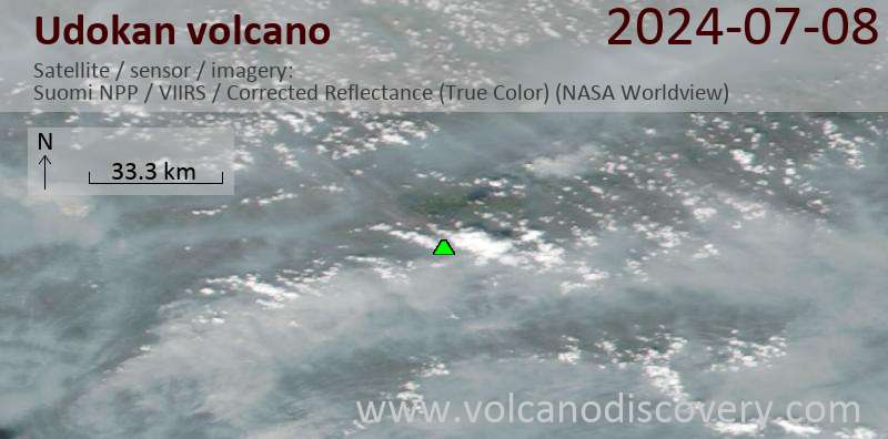
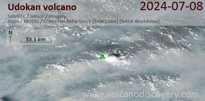
Latest satellite images
Udokan Volcano Maps
Below is a selection of maps showing the location and surroundings of the volcano at various resolutions based on aerial-imagery / terrain maps. Feel free to use them for non-commercial purposes on your blog or website as long as you credit them with a link back to this page (click to copy it).

Satellite/aerial-type map of Udokan volcano (world scale)

Terrain-type map of Udokan volcano (world scale)

Satellite/aerial-type map of Udokan volcano (region scale large)

Terrain-type map of Udokan volcano (region scale large)

Satellite/aerial-type map of Udokan volcano (region scale medium)

Terrain-type map of Udokan volcano (region scale medium)

Satellite/aerial-type map of Udokan volcano (region scale small)

Terrain-type map of Udokan volcano (region scale small)

Satellite/aerial-type map of Udokan volcano (local scale large)

Terrain-type map of Udokan volcano (local scale large)

Satellite/aerial-type map of Udokan volcano (local scale medium)

Terrain-type map of Udokan volcano (local scale medium)

Satellite/aerial-type map of Udokan volcano (local scale small)

Terrain-type map of Udokan volcano (local scale small)

Satellite/aerial-type map of Udokan volcano (scale of 10s of km)

Terrain-type map of Udokan volcano (scale of 10s of km)

Satellite/aerial-type map of Udokan volcano (scale of 20-40 km)

Terrain-type map of Udokan volcano (scale of 20-40 km)

Satellite/aerial-type map of Udokan volcano (scale of approx. 10-20 km)

Terrain-type map of Udokan volcano (scale of approx. 10-20 km)

Satellite/aerial-type map of Udokan volcano (scale of 5-10 km)

Satellite/aerial-type map of Udokan volcano (scale of few kilometers)


