| RSS | EN | DE | EL | ES | FR | IT | RU

Yate Volcano

Updated: Nov 10, 2025 08:09 GMT -
stratovolcano
Southern Chile and Argentina (South America), -41.76°S / -72.4°W
Summit height: 2187 m / 7,175 ft
Current status: normal or dormant (1 out of 5)

Yate volcano is an isolated and poorly known young stratovolcano in the Andean Southern Volcanic Zone on the Hualaihué peninsula, Chile, south of the Relancaví strait and NNE of Volcán Hornopirén.
The volcano is glacially dissected and consists of basaltic-andesite lava flows and domes from the summit and flank vents. It contains 6 eruptive centers along a 7.5 km long fissure. Yate has experienced multiple summit collapses NE and SW of the summit. It sits on the Liquiñe-Ofqui fault zone which extends for over 1,000 km along the volcanic arc of southern Chile.
There are no records of historical volcanic activity at Yate volcano, but there is stratigraphic evidence of small eruptions in the Holocene, the most recent being forming basaltic-andesite cinder cones on the NW and western flanks.
Source: Smithsonian / GVP volcano information

[smaller] [larger]
Typical eruption style: effusive
Yate volcano eruptions: unknown

Latest nearby earthquakes

Date and TimeMag / DepthDistance / Location

Significant volcanic eruptions: Yate volcano

No historic eruptions are known from Yate volcano, but at least one eruption around 1090 AD can be inferred from geological evidence.
The table below lists all known eruptions (date in bold face) of Yate volcano in historic times and during the past 10,000 years. Updates on the most recent volcanic activity of Yate can be found on the news page of Yate volcano.
DateNoteVEIDeathsDamage
1090 ±60 y. ADSE flank?
Remark:
Our list of volcanic eruptions closely follows the database of eruptions of the Smithsonian's Global Volcanism Project (GVP), the internationally most recognized data source for volcanic eruptions, but also includes significant eruptive episodes or related volcano events. "Volcanic eruptions" are usually to be understood as sequences of individual eruptive episodes that can follow each other, or even overlap (if several vents are involved), and can last many years, decades or even longer. For example, the current activity of Stromboli volcano is understood as a single eruption that has been ongoing since 1934.
Sources: NOAA National Centers for Environmental Information (NCEI), Global Significant Volcanic Eruptions Database. doi:10.7289/V5TD9V7K | Global Volcanism Project / Smithsonian Institution

Eruptions of Yate volcano


1965 landslide and tsunami
A non-eruptive volcanic landslide in 1965 produced a debris flow that reached Lake Cabrera, causing a tsunami that destroyed a settlement and caused 27 fatalities. ...more info

Yate Volcano FAQ

+When was the last eruption of Yate volcano?

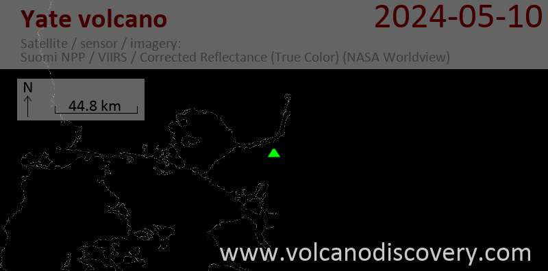
Latest satellite images

Yate satellite image sat1Yate satellite image sat2

Yate Volcano Maps

Below is a selection of maps showing the location and surroundings of the volcano at various resolutions based on aerial-imagery / terrain maps. Feel free to use them for non-commercial purposes on your blog or website as long as you credit them with a link back to this page (click to copy it).
Satellite/aerial-type map of Yate volcano (world scale)
Terrain-type map of Yate volcano (world scale)
Satellite/aerial-type map of Yate volcano (region scale large)
Terrain-type map of Yate volcano (region scale large)
Satellite/aerial-type map of Yate volcano (region scale medium)
Terrain-type map of Yate volcano (region scale medium)
Satellite/aerial-type map of Yate volcano (region scale small)
Terrain-type map of Yate volcano (region scale small)
Satellite/aerial-type map of Yate volcano (local scale large)
Terrain-type map of Yate volcano (local scale large)
Satellite/aerial-type map of Yate volcano (local scale medium)
Terrain-type map of Yate volcano (local scale medium)
Satellite/aerial-type map of Yate volcano (local scale small)
Terrain-type map of Yate volcano (local scale small)
Satellite/aerial-type map of Yate volcano (scale of 10s of km)
Terrain-type map of Yate volcano (scale of 10s of km)
Satellite/aerial-type map of Yate volcano (scale of 20-40 km)
Terrain-type map of Yate volcano (scale of 20-40 km)
Satellite/aerial-type map of Yate volcano (scale of approx. 10-20 km)
Terrain-type map of Yate volcano (scale of approx. 10-20 km)
Satellite/aerial-type map of Yate volcano (scale of 5-10 km)
Satellite/aerial-type map of Yate volcano (scale of few kilometers)
Volcanoes & Earthquakes - new app for Android
Guaranteed tours
20 Nov - 3 Dec 2025: Desert, salt and volcanoes - Danakil desert (Ethiopia)
2-10 May 2026: From Stromboli to Etna - Sicily and Eolian Islands (Italy)
= spaces available   = guaranteed   = few spaces left   = booked out

No news in this list.

On this page:

Try our free app!
Volcanoes & Earthquakes - new app for Android
Android | iOS version

More on VolcanoDiscovery

Why is there advertising on this site?

Support Us – Help Us Enhance Our Services!

We’re passionate about delivering the latest volcano and earthquake data from around the globe — just for you. However, maintaining our website and free apps requires significant time, effort, and resources.
Your support helps us expand our hardware and software capabilities and empowers our dedicated editorial team. Our mission is to provide uninterrupted, real-time updates whenever an earthquake strikes or a volcano erupts — and your donations make this possible. Every contribution, big or small, is deeply appreciated. If you find our information valuable and want to help us add new features, create compelling content, and improve our technology, please consider making a donation:

Donate with PayPal:

Planned Features:

Thanks to your past donations, we have recently added:
Download the Volcanoes & Earthquakes app to stay among the first to receive the fastest seismic and volcano alerts online:
Android | iOS
Thank you for being part of our mission!
Sources: VolcanoDiscovery / VolcanoAdventures and other sources as noted.
Use of material: Most text and images on our websites are owned by us. Re-use is generally not permitted without authorization. Contact us for licensing rights.
Volcanoes & Earthquakes
VolcanoDiscovery Home
Volcanoes | Earthquakes | Photos | Volcano News | | Shop | App
Adventure & Study Travel
Tours to Volcanoes and Volcanic Areas: walking tours, photo tours, study tours
Tours & Dates | FAQ | About us
Get our newsletter!
Company info
Contact | Legal info | Terms & conditions
Follow us
Follow us on facebook Follow us on Instagram Follow us on Bluesky Follow us on Twitter Visit our Youtube channel
EN | DE | EL | ES | FR | IT | RU
VolcanoDiscovery GmbH, Germany, Reg. nr.: HRB 103744, EU Tax Id: DE 297 465 123 owned and created by
Dr. Tom Pfeiffer, volcanologist, volcano photographer, tour organizer member of
IAVCEI
IAVCEI
Vulkanologische Gesellschaft
Volcanological Society
Ecotourism Greece
Ecotourism Greece
RUV insurance
Insured by R+V
VolcanoDiscovery © 2004- All Rights Reserved | Privacy - Cookie Settings