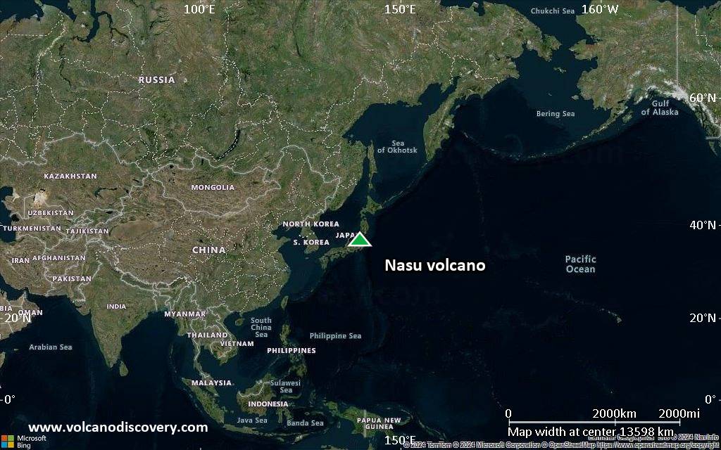
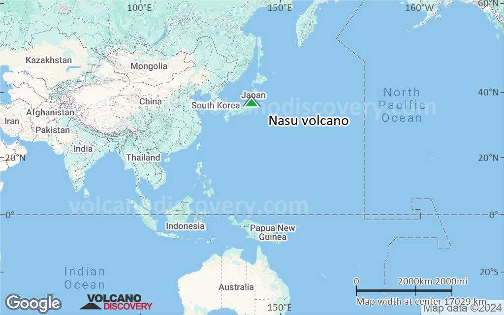
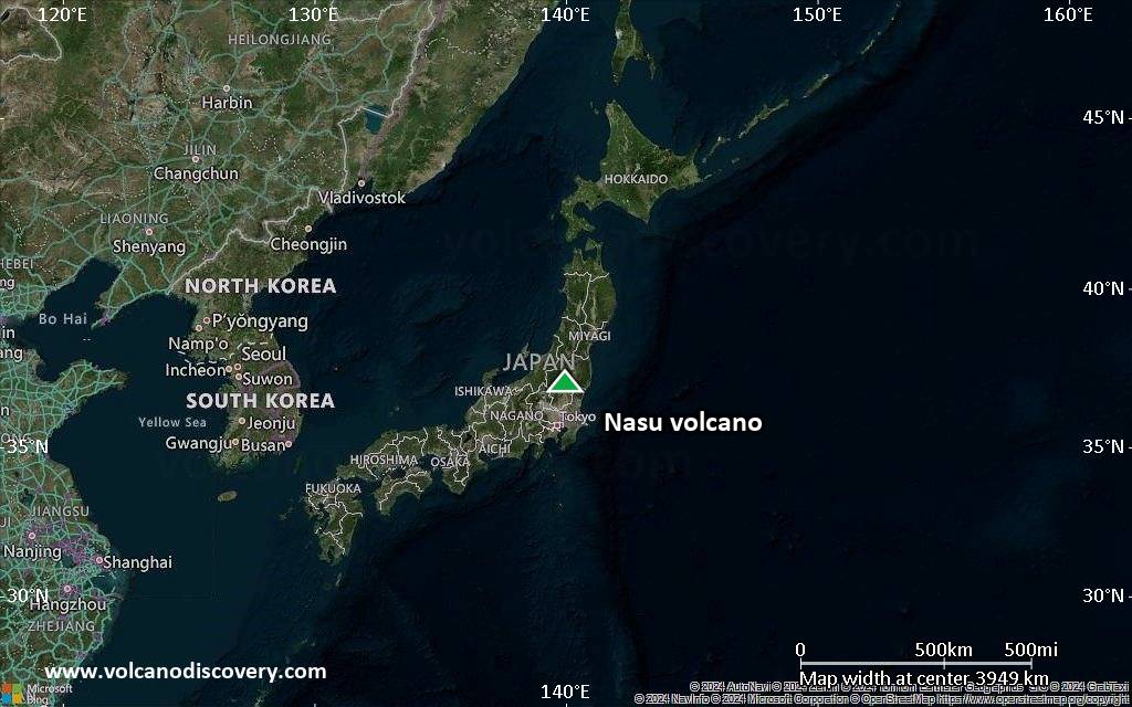
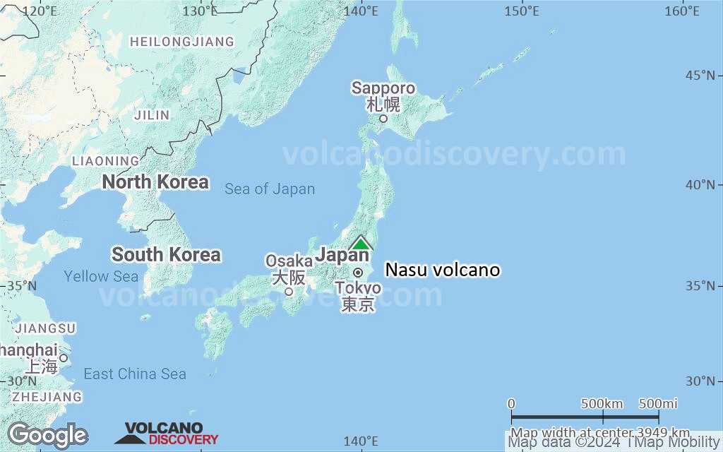
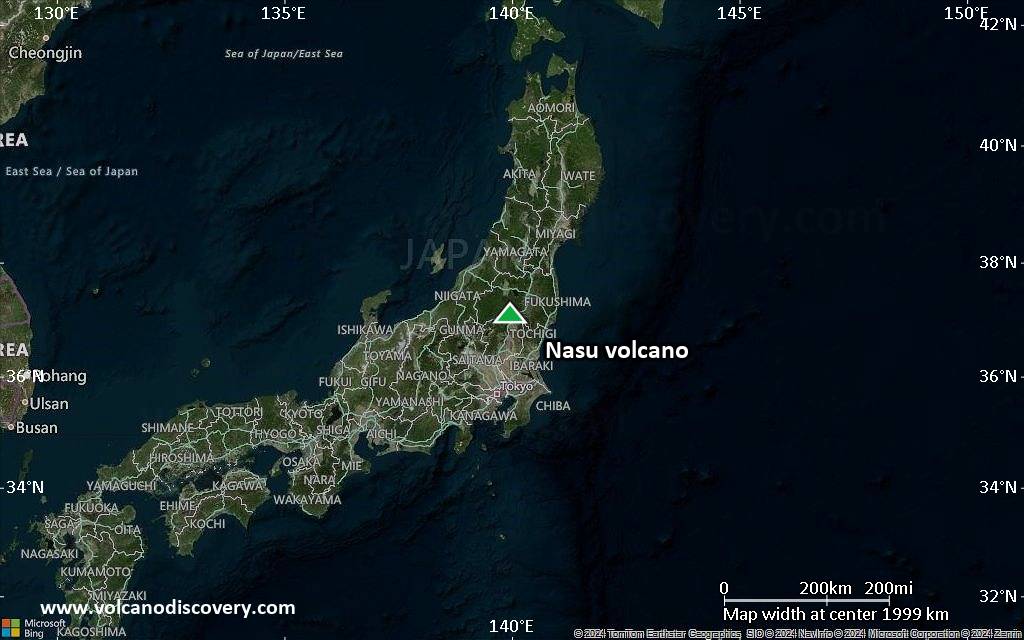
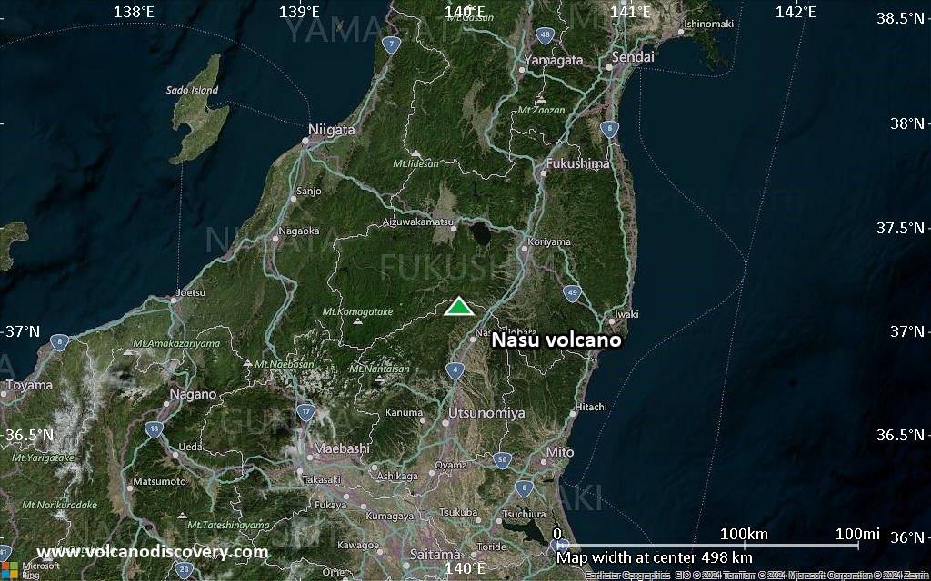
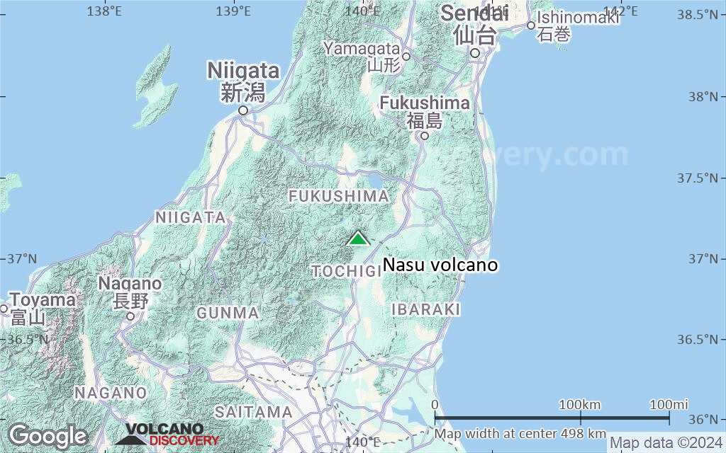
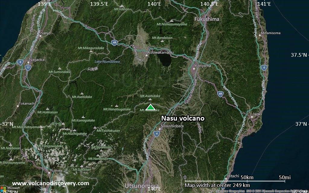
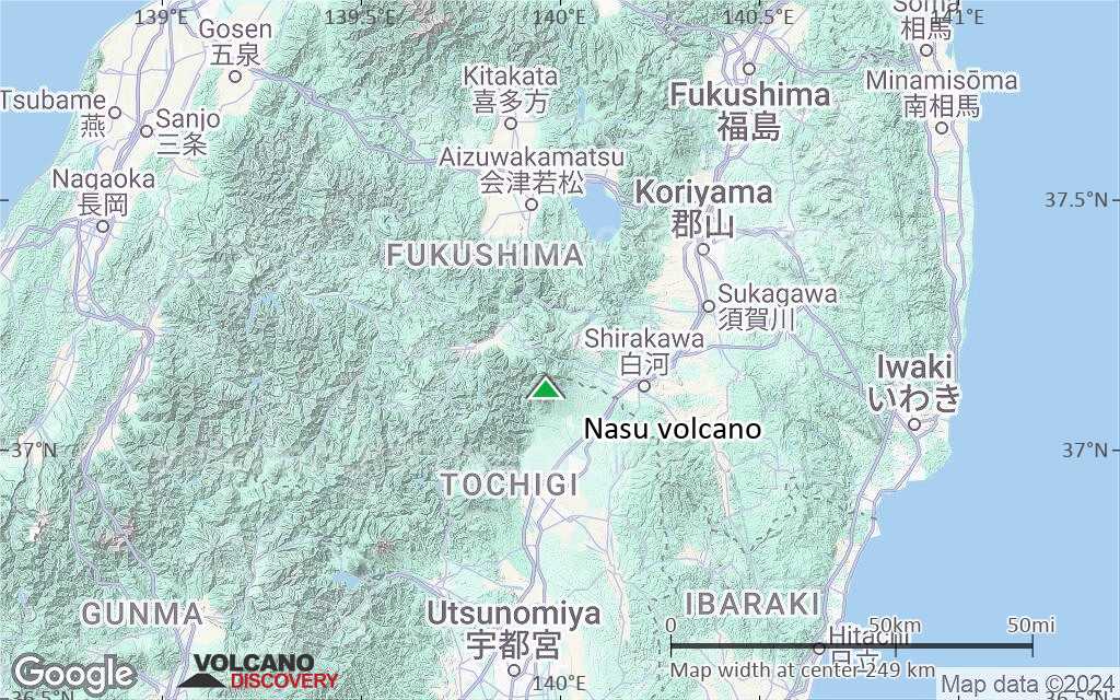
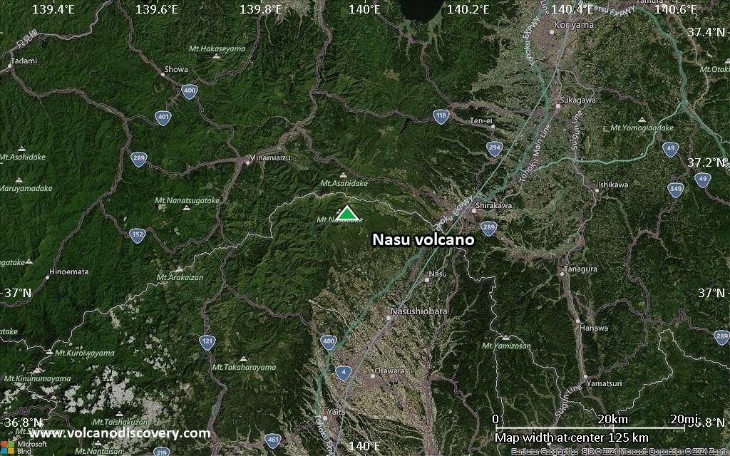
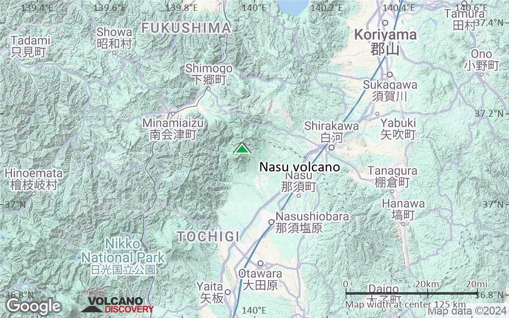
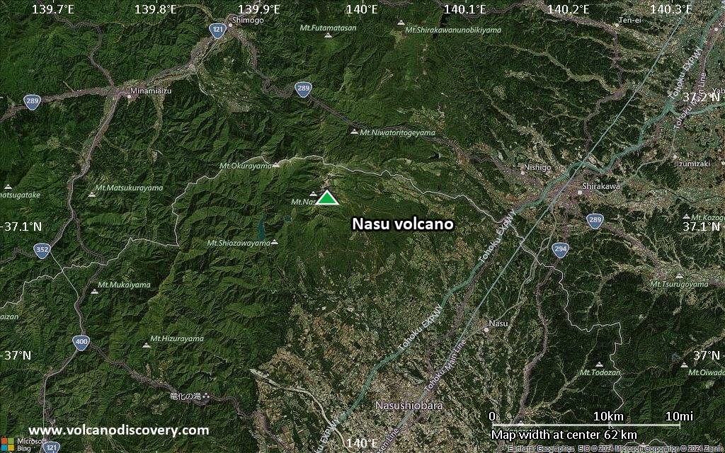
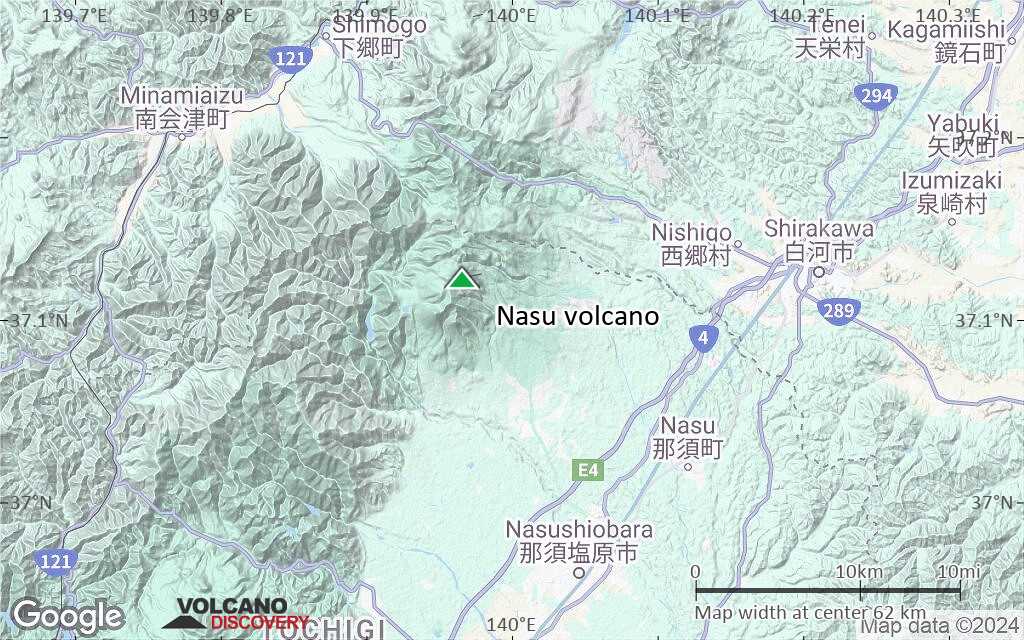
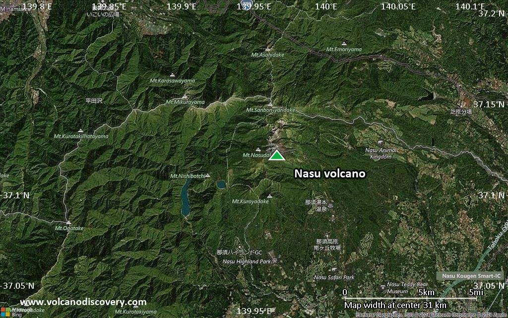
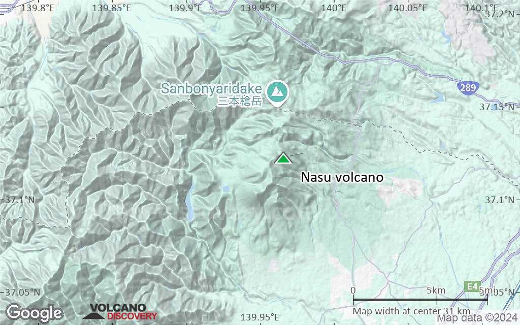
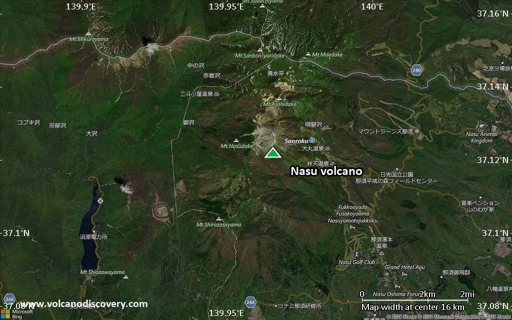
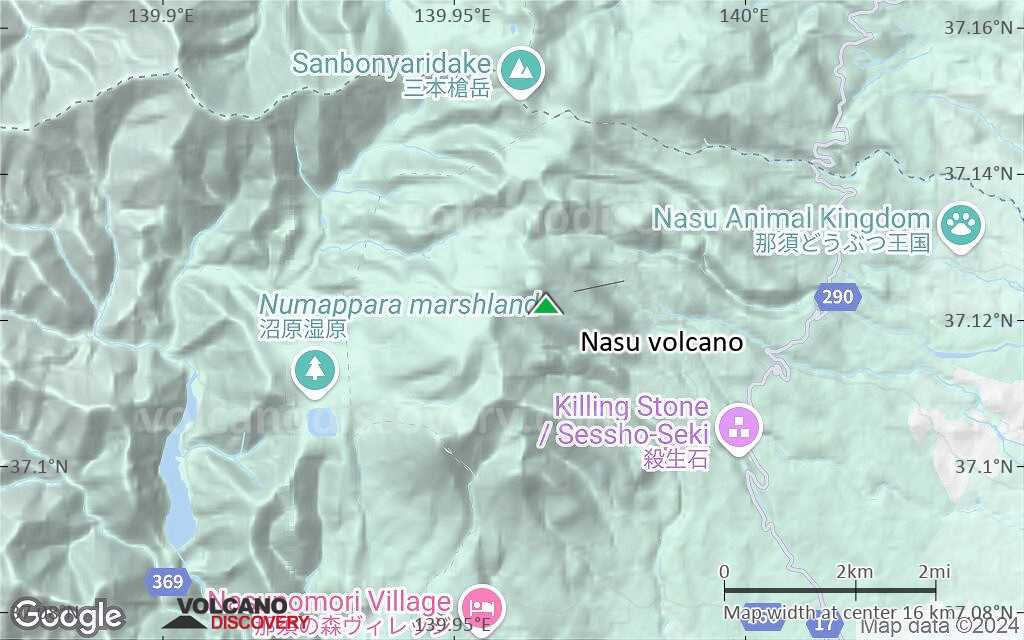
| RSS | EN | DE | EL | ES | FR | IT | RU

Nasu Volcán

Updated: 16 nov. 2025 01:14 GMT -
stratovolcanoes
Honshu (Japón), 37.12°N / 139.97°E
Summit height: 1915 m / 6,283 ft
Current status: normal or dormant (1 out of 5)

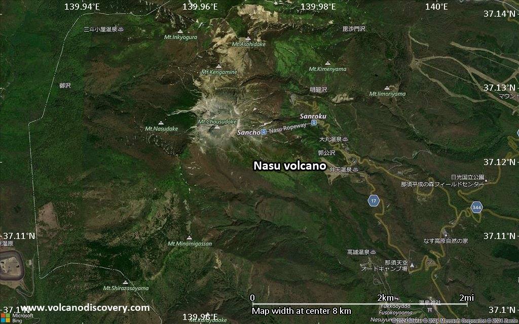
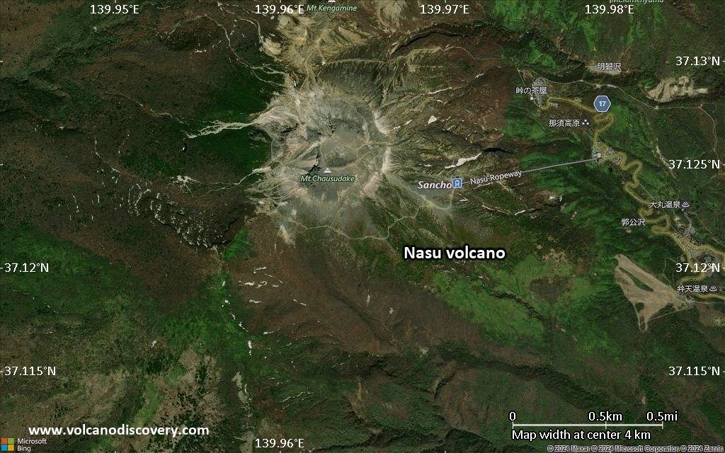
Nasu (or Nasudake) volcano at the northern end of Kanto Plain in central Honshu is a group of 3 larger and older and 3 smaller, young stratovolcanoes. The younger cones are called Asahi-dake, Futamata-yama, and Chausu-dake, the youngest of the volcanoes. Chausu-dake started to grow about 16,000 years ago and has had many small phreatic eruptions in the past centuries.

[smaller] [larger]
Typical eruption style: phreatic eruptions
Erupciones del volcán Nasu: 1963, 1960, 1953, 1881, 1846, 1410, 1408, 1404, 1397

Latest nearby earthquakes

Fecha y horaMag / Prof.Distancia / Ubicación
14 nov 05:59 (GMT +9)
0.2

7.5 km
18 km al este Japan: Mid Fukushima Pref Más
14 nov 03:25 (GMT +9)
0.7

2.5 km
3 km al noroeste Japan: Northern Tochigi Pref Más
14 nov 00:58 (GMT +9)
0.4

6.8 km
19 km al este Japan: Mid Fukushima Pref Más
13 nov 21:42 (GMT +9)
0.2

3.4 km
2.4 km al noroeste Japan: Northern Tochigi Pref Más
13 nov 17:48 (GMT +9)
1.0

8.5 km
18 km al norte Japan: Western Fukushima Pref Más
martes, 11 noviembre 2025 GMT (1 sismo)
11 nov 13:06 (GMT +9)
0.9

8.5 km
19 km al norte Japan: Western Fukushima Pref Más
lunes, 10 noviembre 2025 GMT (1 sismo)
10 nov 20:37 (GMT +9)
0.2

3.2 km
1.8 km al oeste Japan: Northern Tochigi Pref Más

Background

The Nasu volcanic group consists of a N-S-trending cluster of stratovolcanoes and lava domes at the north end of the Kanto Plain. Nasu volcanic activity dates back about 500,000 years. Growth of three large basaltic-to-dacitic stratovolcanoes with life spans of about 200,000 years was followed by construction of three smaller andesitic stratovolcanoes, Asahi-dake, Futamata-yama, and Chausu-dake. Activity during the last 55,000 years included the collapse of Asahi-dake volcano about 30-40,000 years ago producing the massive Ofuji-san debris-avalanche deposit, which blankets a broad area SE of the volcano. The youngest volcano, Chausu-dake, began forming about 16,000 years ago. Six magmatic eruptions took place since then, the latest in 1408-1410, when the youngest summit lava dome, Chausu-dake, was formed. These eruptions produced block-and-ash flows and concluded with the extrusion of lava flows. Smaller phreatic eruptions have occurred every few hundred years during the past 5000 years.

(from: Smithsonian / GVP volcano information)

Erupciones volcánicas significativas: Nasu volcano

In the past 10,000 years, Nasu has had at least 20 confirmed volcanic eruptions, out of which 9 are documented by historical records, while the others can be inferred from geological evidence.
There is one uncertain or discredited eruption in 1963 from Nasu volcano.
The table below lists all known eruptions (date in bold face) of Nasu volcano since around 6000 BC. Updates on the most recent volcanic activity of Nasu can be found on the news page of Nasu volcano.
FechaNotaVEIFallecidosDaños
1963 nov 20 - nov 21Chausu-dake (west side)
Obs. históricas/documentos
1
desconocido
?? 1963 jul 10 - jul 11
Erupción incierta
1
desconocido
1960 oct 10 ?Chausu-dake (50 m north of 1953 vent)
Obs. históricas/documentos
1
desconocido
1953 oct 24 - oct 29Chausu-dake (1881 crater)
Obs. históricas/documentos
1
desconocido
1921 nov 26
(episodio eruptivo 1921 nov 26)
Obs. históricas/documentos
01
desconocido
Información
1919 jul 6
(episodio eruptivo 1919 jul 6)
Obs. históricas/documentos
02
desconocido
Información
1881 jul 1Chausu-dake (west and NW side of summit)
Obs. históricas/documentos
1?
desconocido
1846 agoChausu-dake
Obs. históricas/documentos
1
desconocido
1410 AD mar 5Chausu-dake
Obs. históricas/documentos
3
desconocido
1410 AD mar 5
(erupción 1410 AD mar 5)
Obs. históricas/documentos
3180
desconocido
Información
1408 AD feb 24Chausu-dake
Obs. históricas/documentos
3
desconocido
1404 AD feb 11Chausu-dake
Obs. históricas/documentos
3
desconocido
1397 AD feb 17Chausu-dake
Obs. históricas/documentos
3
desconocido
330 ±200 y. ADChausu-dake2
desconocido
250 ±200 y. ADChausu-dake3
desconocido
250 ? BCChausu-dake2?
desconocido
700 ±200 y. BCChausu-dake3
desconocido
1440 ±500 y. BCChausu-dake2?
desconocido
2000 ±1450 y. BCChausu-dake2?
desconocido
4350 ±950 y. BCChausu-dake2?
desconocido
5550 ±500 y. BCChausu-dake3
desconocido
Remark:
Our list of volcanic eruptions closely follows the database of eruptions of the Smithsonian's Global Volcanism Project (GVP), the internationally most recognized data source for volcanic eruptions, but also includes significant eruptive episodes or related volcano events. "Volcanic eruptions" are usually to be understood as sequences of individual eruptive episodes that can follow each other, or even overlap (if several vents are involved), and can last many years, decades or even longer. For example, the current activity of Stromboli volcano is understood as a single eruption that has been ongoing since 1934.
Fuentes: NOAA National Centers for Environmental Information (NCEI), Global Significant Volcanic Eruptions Database. doi:10.7289/V5TD9V7K | Global Volcanism Project / Smithsonian Institution

Nasu Volcano FAQ

+When was the last eruption of Nasu volcano?

+How often does Nasu volcano erupt?

+How active is Nasu volcano at present?

+When was the largest eruption of Nasu volcano?

Últimas imágenes satelitales
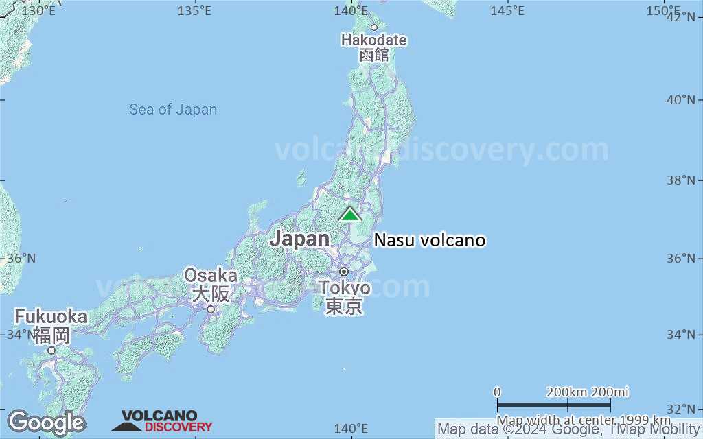
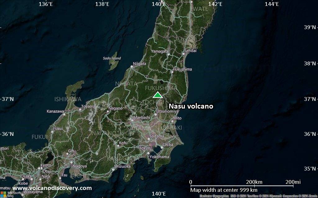
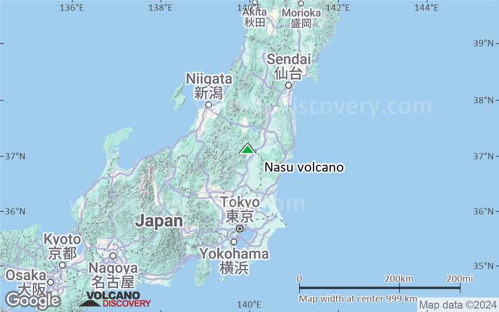
Nasu imagen satelital sat1Nasu imagen satelital sat2

Nasu Volcán Mapas

Below is a selection of maps showing the location and surroundings of the volcano at various resolutions based on aerial-imagery / terrain maps. Feel free to use them for non-commercial purposes on your blog or website as long as you credit them with a link back to this page (click to copy it).
Satellite/aerial-type map of Nasu volcano (world scale)
Terrain-type map of Nasu volcano (world scale)
Satellite/aerial-type map of Nasu volcano (region scale large)
Terrain-type map of Nasu volcano (region scale large)
Satellite/aerial-type map of Nasu volcano (region scale medium)
Terrain-type map of Nasu volcano (region scale medium)
Satellite/aerial-type map of Nasu volcano (region scale small)
Terrain-type map of Nasu volcano (region scale small)
Satellite/aerial-type map of Nasu volcano (local scale large)
Terrain-type map of Nasu volcano (local scale large)
Satellite/aerial-type map of Nasu volcano (local scale medium)
Terrain-type map of Nasu volcano (local scale medium)
Satellite/aerial-type map of Nasu volcano (local scale small)
Terrain-type map of Nasu volcano (local scale small)
Satellite/aerial-type map of Nasu volcano (scale of 10s of km)
Terrain-type map of Nasu volcano (scale of 10s of km)
Satellite/aerial-type map of Nasu volcano (scale of 20-40 km)
Terrain-type map of Nasu volcano (scale of 20-40 km)
Satellite/aerial-type map of Nasu volcano (scale of approx. 10-20 km)
Terrain-type map of Nasu volcano (scale of approx. 10-20 km)
Satellite/aerial-type map of Nasu volcano (scale of 5-10 km)
Satellite/aerial-type map of Nasu volcano (scale of few kilometers)
Volcanoes & Earthquakes - new app for Android
Guaranteed tours
20 nov - 3 dic 2025: Desert, salt and volcanoes - Danakil desert (Ethiopia)
2-10 may 2026: From Stromboli to Etna - Sicily and Eolian Islands (Italy)
= spaces available   = guaranteed   = few spaces left   = booked out

No news in this list.

En esta página:

Try our free app!
Volcanoes & Earthquakes - new app for Android
Android | iOS version

More on VolcanoDiscovery

Why is there advertising on this site?

¡Apóyanos – Ayúdanos a mejorar nuestros servicios!

Nos encanta trabajar para traerte los datos más recientes sobre volcanes y terremotos de todo el mundo, solo para ti. Sin embargo, mantener nuestro sitio web y nuestras aplicaciones gratuitas requiere mucho tiempo, esfuerzo y recursos.
Tu apoyo nos permite ampliar la capacidad de nuestro hardware y software, así como fortalecer a nuestro equipo editorial. Nuestra misión es ofrecer actualizaciones continuas en tiempo real siempre que ocurra un terremoto o una erupción volcánica — ¡y tus donaciones lo hacen posible! Cada contribución, grande o pequeña, es profundamente apreciada. Si encuentras útil la información que ofrecemos y deseas ayudarnos a integrar nuevas funciones, crear contenido atractivo y mejorar nuestra tecnología, por favor considera hacer una donación:

Usa PayPal:

Funciones planeadas:

Gracias a tus donaciones anteriores, recientemente hemos añadido:
Descarga la app Volcanes & Terremotos para ser de los primeros en recibir alertas rápidas en línea sobre terremotos y volcanes:
Android | iOS
¡Gracias por formar parte de nuestra misión!
Sources: VolcanoDiscovery / VolcanoAdventures and other sources as noted.
Use of material: Most text and images on our websites are owned by us. Re-use is generally not permitted without authorization. Contact us for licensing rights.
Volcanoes & Earthquakes
VolcanoDiscovery Home
Volcanes | Sismos | Fotos | News | | Shop | App
Adventure & Study Travel
Tours to Volcanoes and Volcanic Areas: walking tours, photo tours, study tours
Tours & Dates | FAQ | About us
Get our newsletter!
Company info
Contact | Legal info | Terms & conditions
Follow us
Follow us on facebook Follow us on Instagram Follow us on Bluesky Follow us on Twitter Visit our Youtube channel
EN | DE | EL | ES | FR | IT | RU
VolcanoDiscovery GmbH, Germany, Reg. nr.: HRB 103744, EU Tax Id: DE 297 465 123 owned and created by
Dr. Tom Pfeiffer, volcanologist, volcano photographer, tour organizer member of
IAVCEI
IAVCEI
Vulkanologische Gesellschaft
Volcanological Society
Ecotourism Greece
Ecotourism Greece
RUV insurance
Insured by R+V
VolcanoDiscovery © 2004- All Rights Reserved | Privacy - Cookie Settings