Sara Sara Volcán
Updated: 29 mayo 2025 12:06 GMT -
stratovolcano
Perú, -15.33°S / -73.45°W 
+Hora local:
Salida del sol:
Puesta del sol:
Salida de la luna:
Puesta de la luna:
Summit height: 5522 m / 18,117 ft
Current status: normal or dormant (1 out of 5)
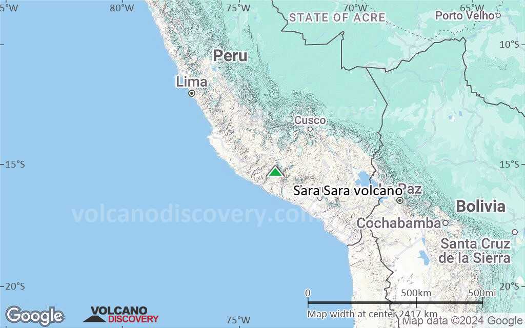
Sara Sara volcano is a glacier-covered stratovolcano in SW Perú, located between Laguna Parinacocha and the Río Ocona. It is the westernmost of Peru's active volcanoes.
the volcano has erupted large andesitic lava flows that extended 10 km eastward into the Río Ocona valle. Relatively undisturbed tephra and lava flow deposits on the upper slope of the volcano suggest that the last activity of volcano was (geologically) recent, and probably less than 10,000 years ago.
[smaller] [larger]
Erupciones del volcán Sara Sara:
Latest nearby earthquakes
| Fecha y hora | Mag / Prof. | Distancia / Ubicación | |||
|---|---|---|---|---|---|
Sara Sara Volcano Photos
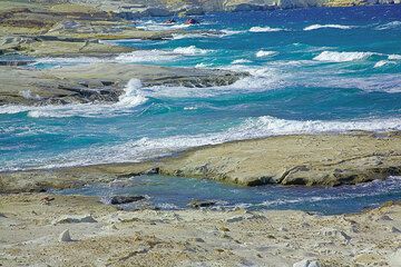
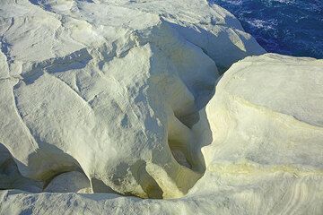
Costa esculpida en Sarakiniko (Photo: Tom Pfeiffer)
Superficies blancas curvas en los acantilados blancos de Sarakiniko (Photo: Tom Pfeiffer)
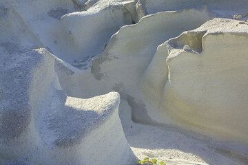
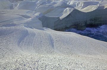
Suaves estructuras de erosión en las capas de ceniza blanca de Sarakiniko (Photo: Tom Pfeiffer)
La erosión hídrica creó formas amontonadas en las capas de ceniza volcánica blanca endurecida en Sarakiniko. (Photo: Tom Pfeiffer)
Últimas imágenes satelitales

Sara Sara Volcán Mapas
Below is a selection of maps showing the location and surroundings of the volcano at various resolutions based on aerial-imagery / terrain maps. Feel free to use them for non-commercial purposes on your blog or website as long as you credit them with a link back to this page (click to copy it).
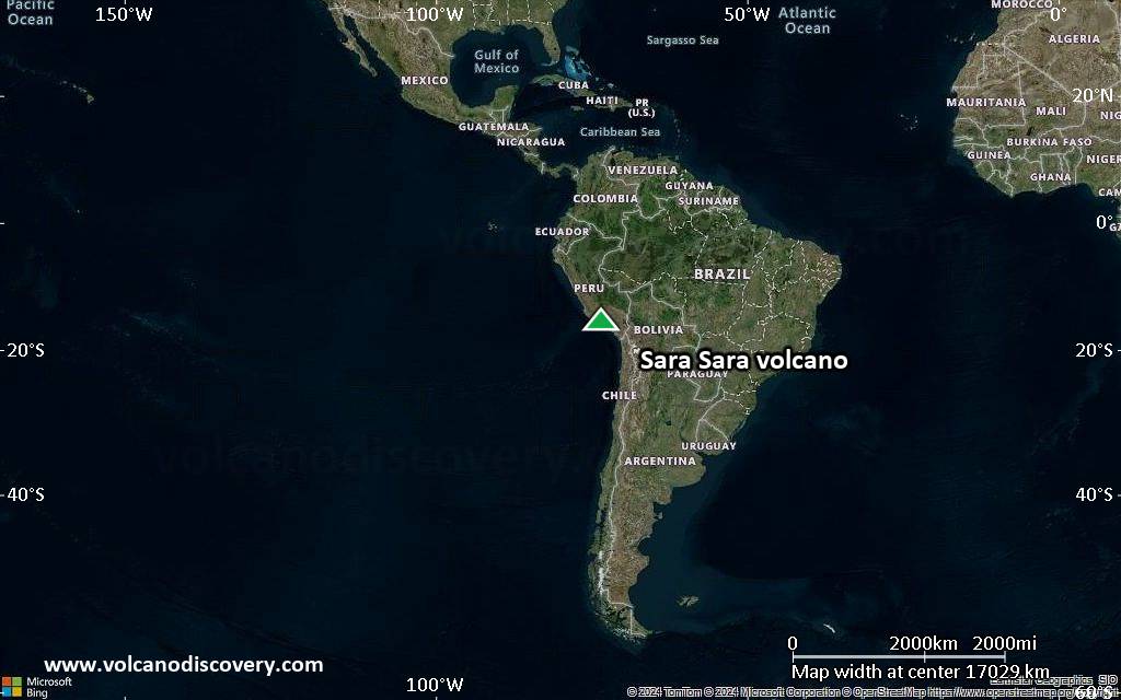
Satellite/aerial-type map of Sara Sara volcano (world scale)
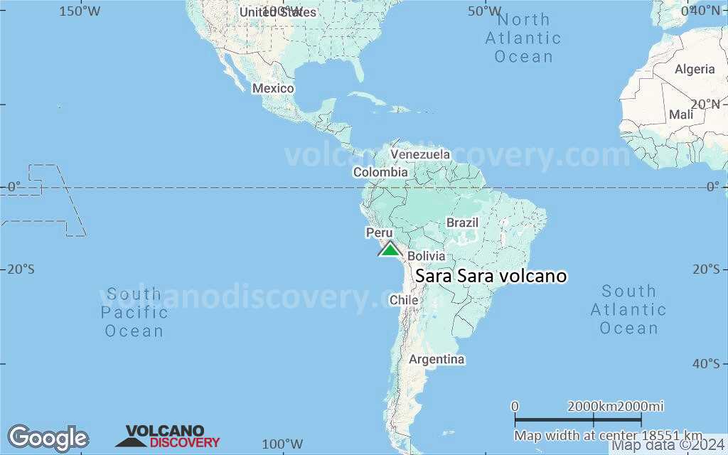
Terrain-type map of Sara Sara volcano (world scale)
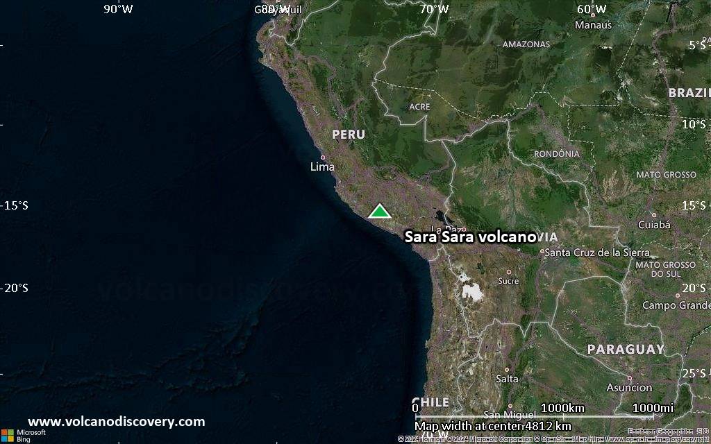
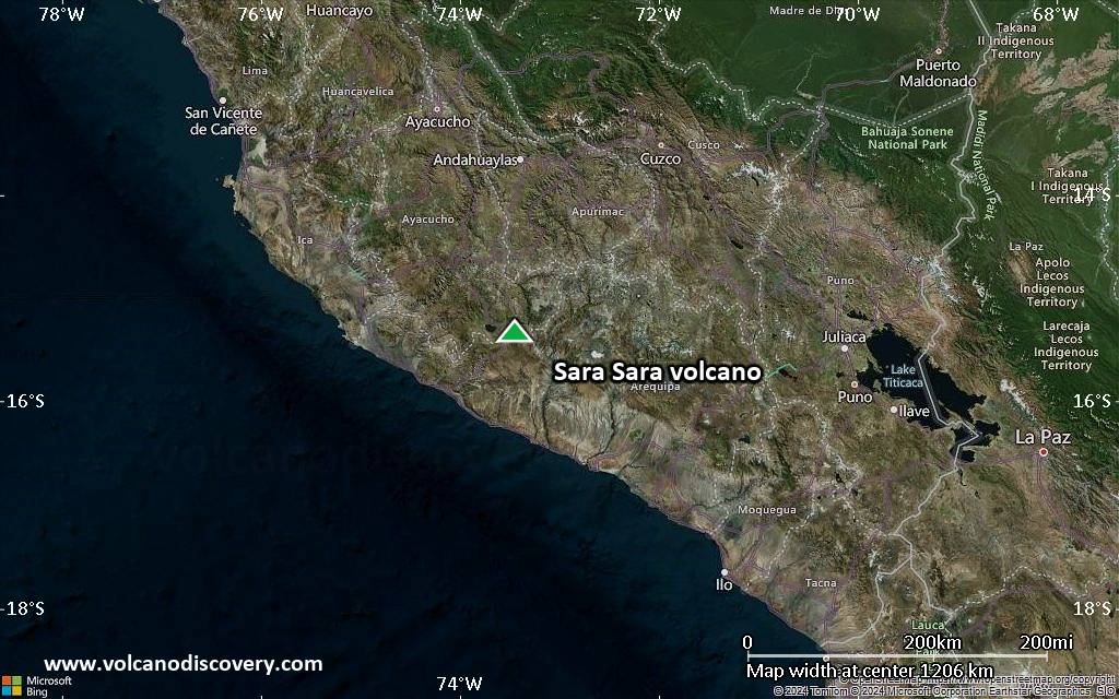
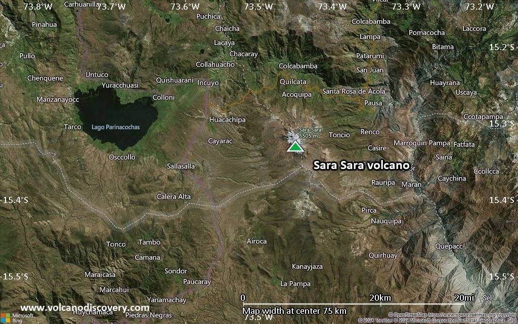
Satellite/aerial-type map of Sara Sara volcano (region scale large)
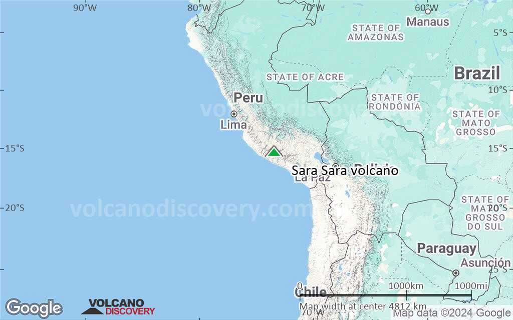
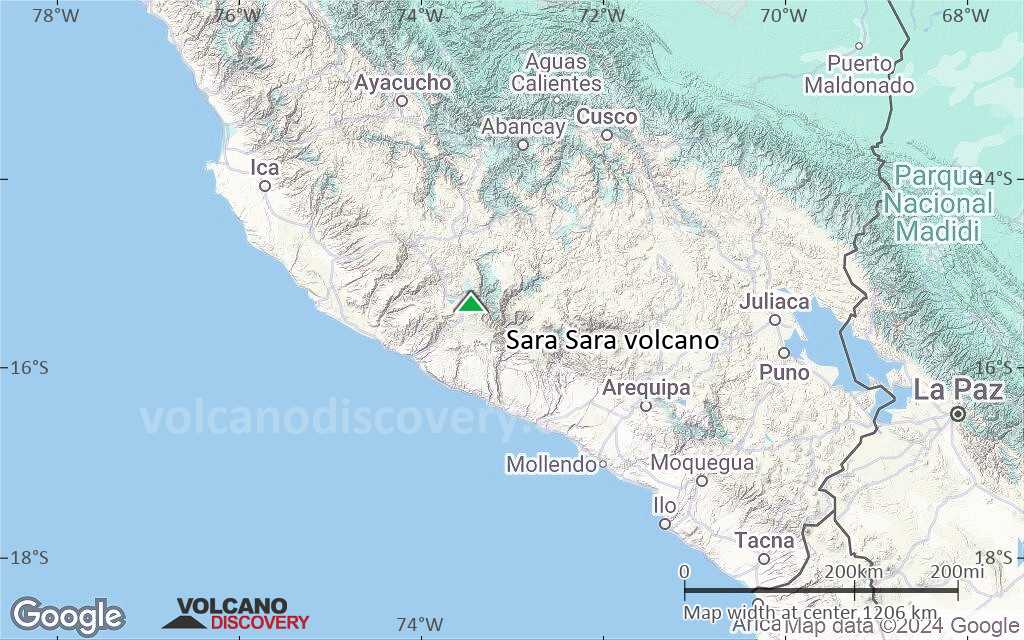
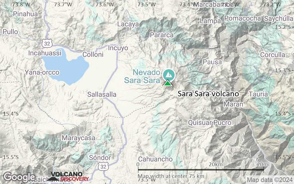
Terrain-type map of Sara Sara volcano (region scale large)
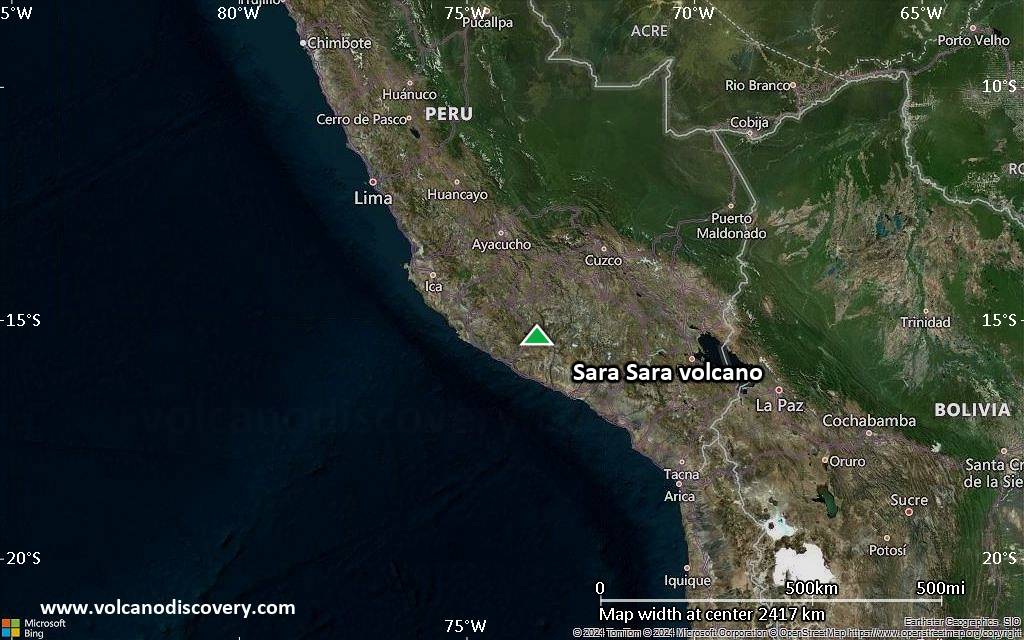
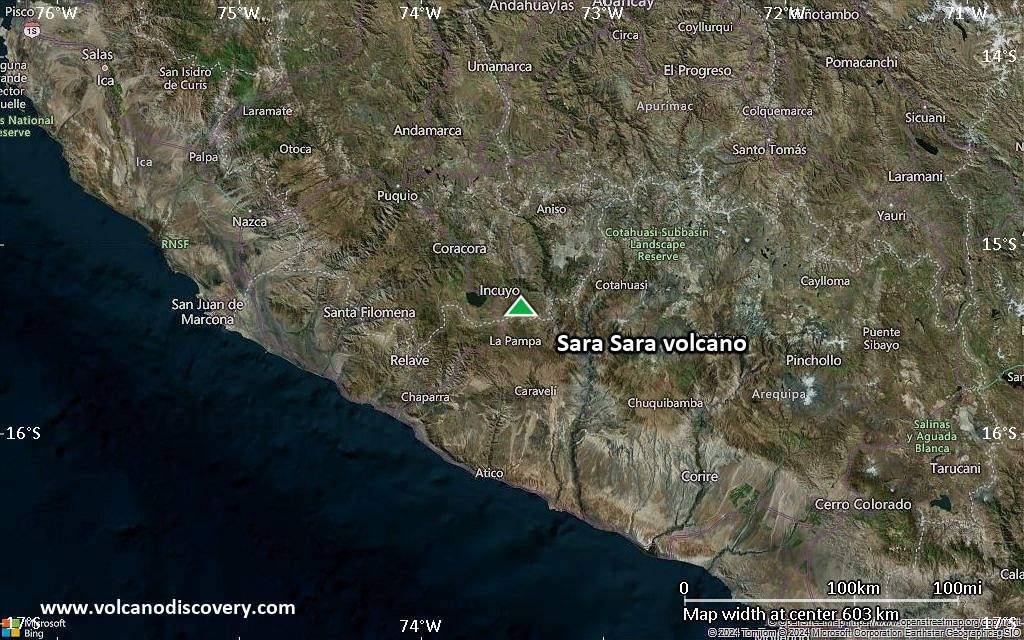
Satellite/aerial-type map of Sara Sara volcano (region scale medium)
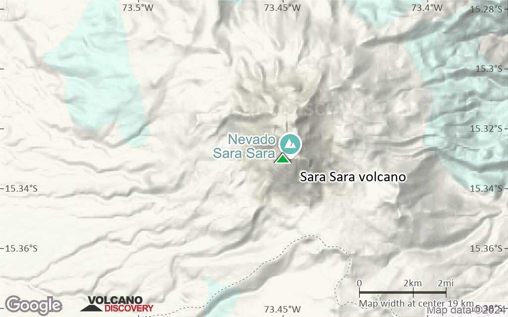
Terrain-type map of Sara Sara volcano (region scale medium)
Satellite/aerial-type map of Sara Sara volcano (region scale small)
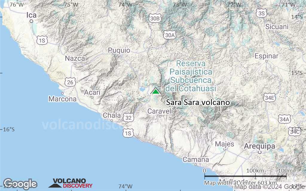
Terrain-type map of Sara Sara volcano (region scale small)
Satellite/aerial-type map of Sara Sara volcano (local scale large)
Terrain-type map of Sara Sara volcano (local scale large)

Satellite/aerial-type map of Sara Sara volcano (local scale medium)
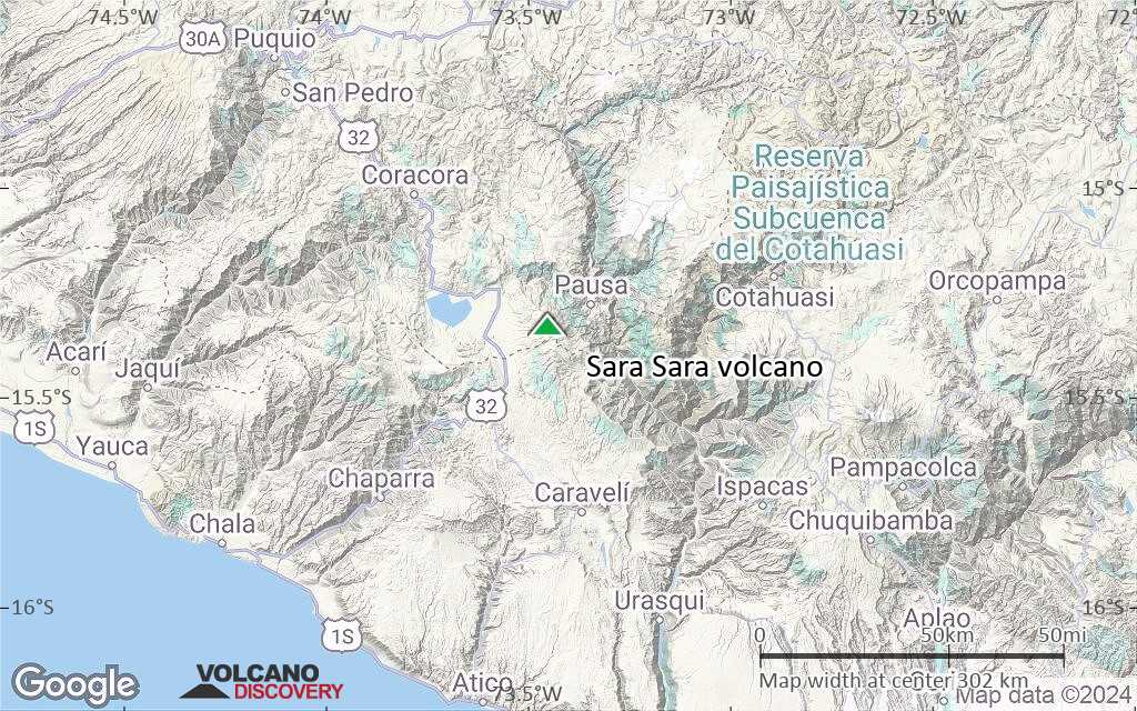
Terrain-type map of Sara Sara volcano (local scale medium)
Satellite/aerial-type map of Sara Sara volcano (local scale small)
Terrain-type map of Sara Sara volcano (local scale small)
Satellite/aerial-type map of Sara Sara volcano (scale of 10s of km)
Terrain-type map of Sara Sara volcano (scale of 10s of km)
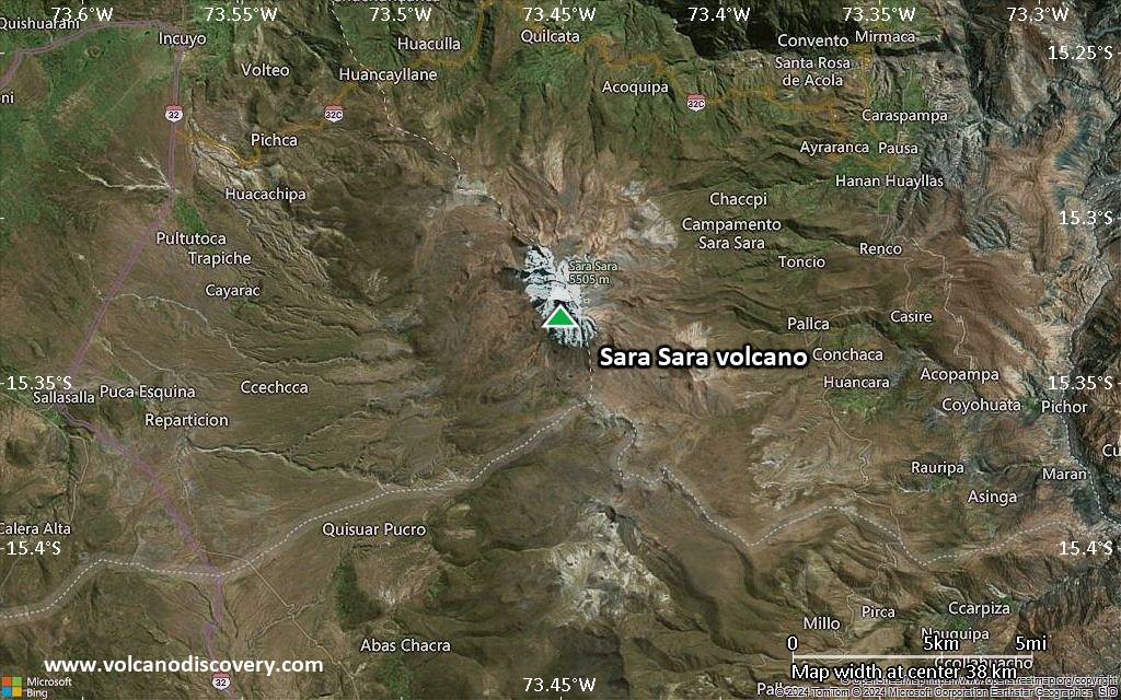
Satellite/aerial-type map of Sara Sara volcano (scale of 20-40 km)

Terrain-type map of Sara Sara volcano (scale of 20-40 km)
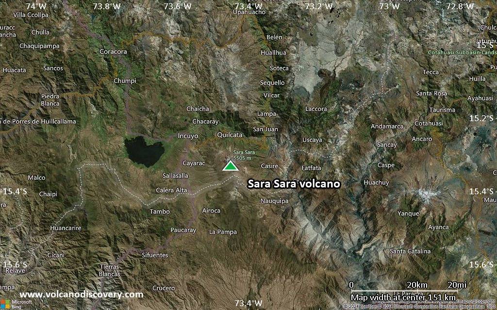
Satellite/aerial-type map of Sara Sara volcano (scale of approx. 10-20 km)
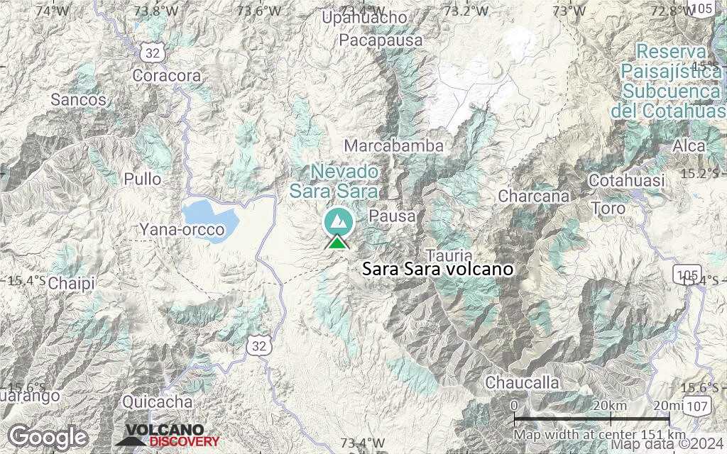
Terrain-type map of Sara Sara volcano (scale of approx. 10-20 km)

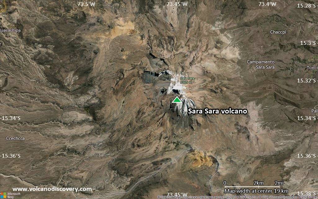
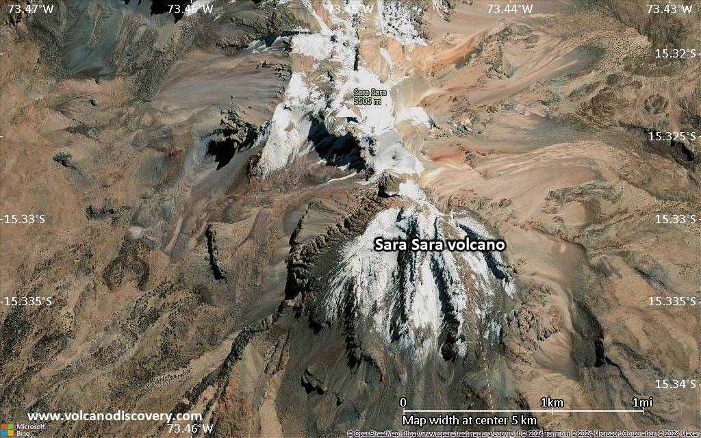
Satellite/aerial-type map of Sara Sara volcano (scale of 5-10 km)
Satellite/aerial-type map of Sara Sara volcano (scale of few kilometers)