| RSS | EN | DE | EL | ES | FR | IT | RU

Utila Volcán

Updated: 7 mayo 2025 06:42 GMT -
pyroclastic cones
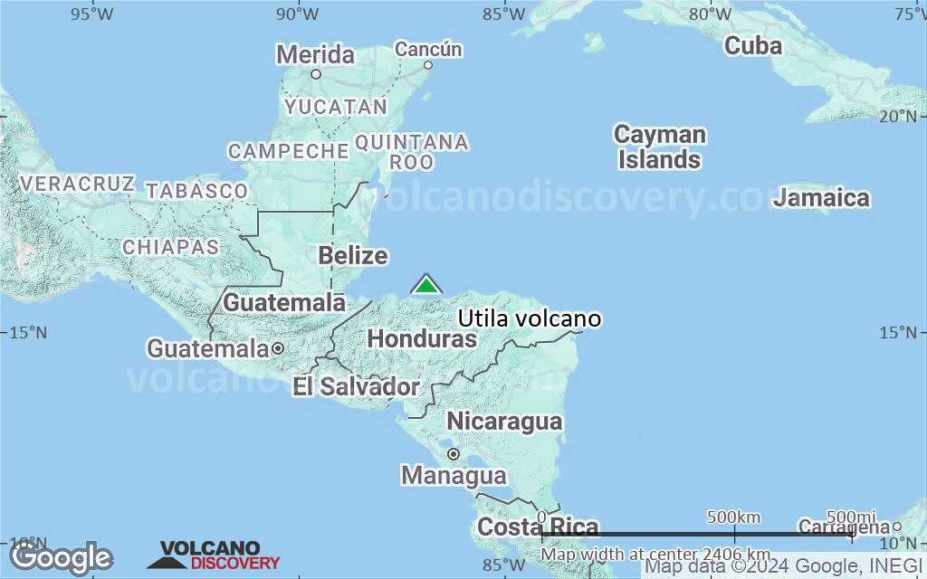
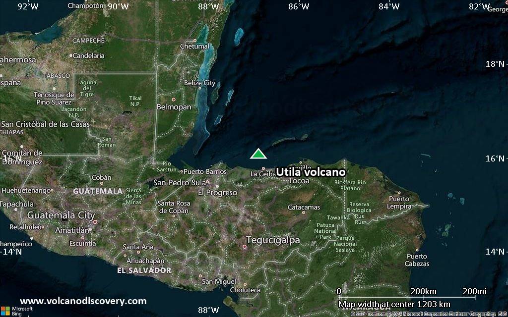
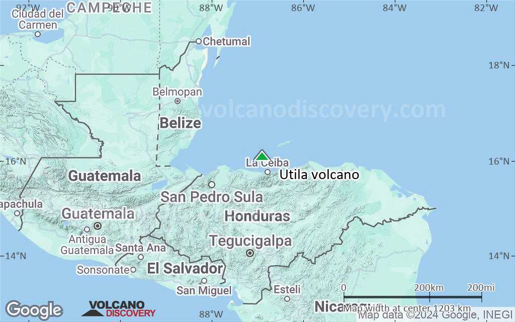
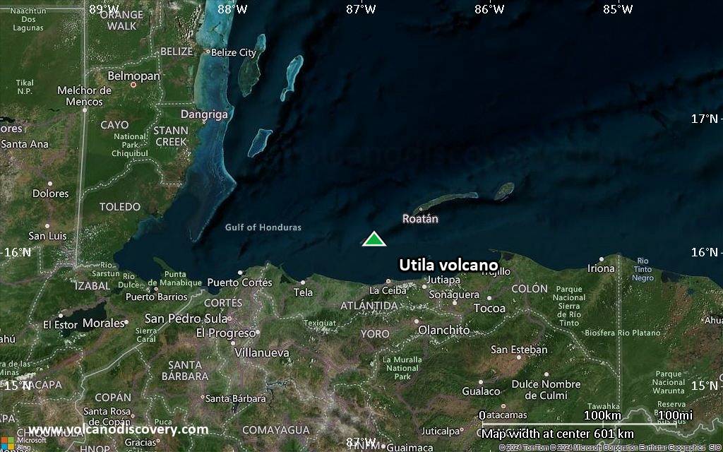
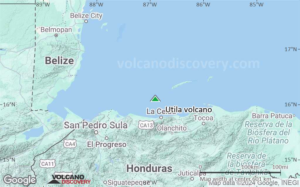
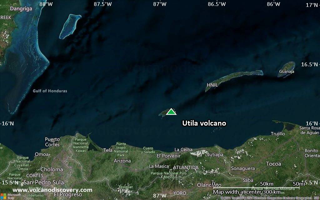
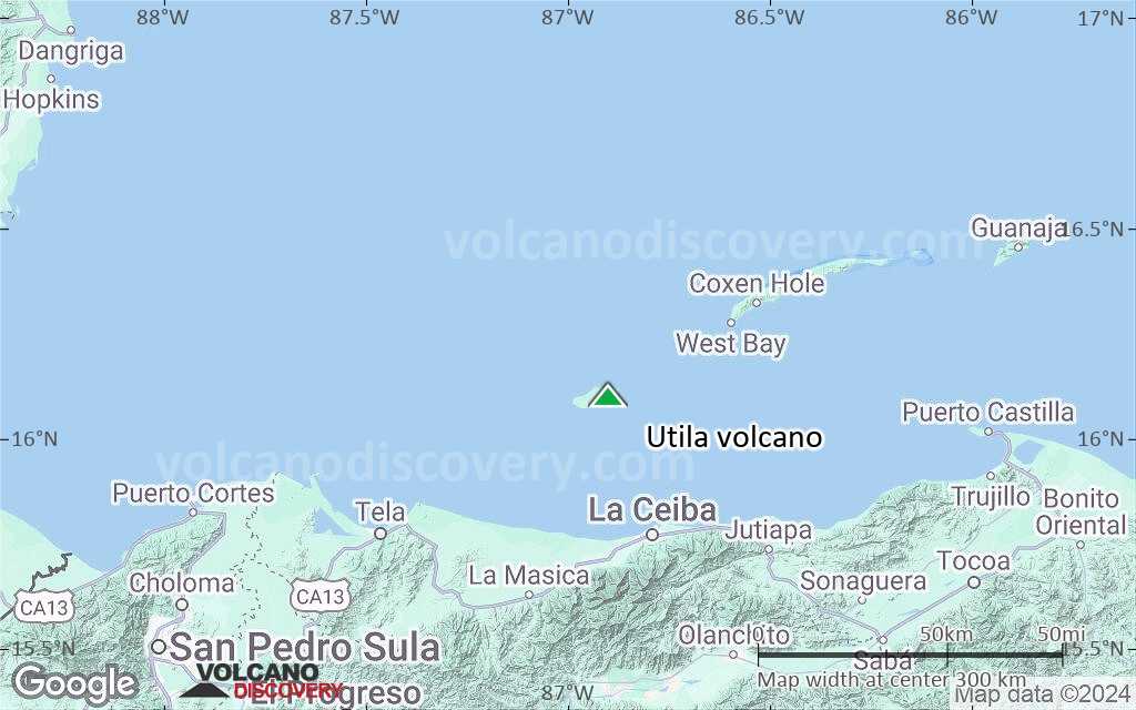
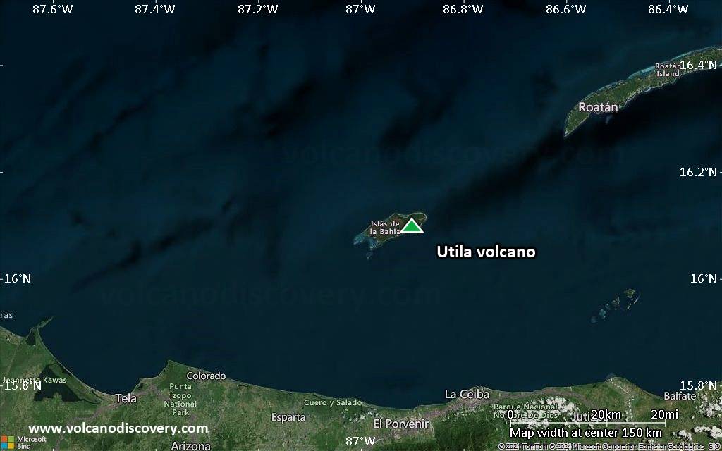
Honduras, 16.1°N / -86.9°W
Summit height: 74 m / 243 ft
Current status: normal or dormant (1 out of 5)

Utila volcano is a volcanic vent that has produced a small lava flow and pyroclastic cones on the small island of Utila in the Carribean Sea off the north coast of Honduras.

[smaller] [larger]
Typical eruption style: effusive
Erupciones del volcán Utila: unknown, less than 10,000 years ago

Latest nearby earthquakes

Fecha y horaMag / Prof.Distancia / Ubicación

Background

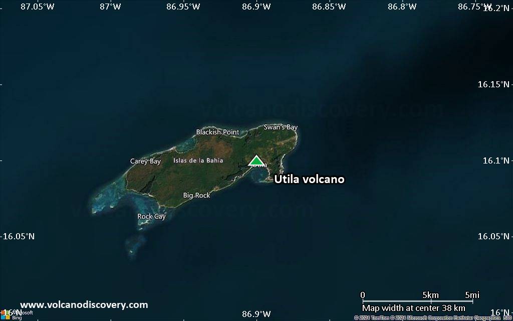
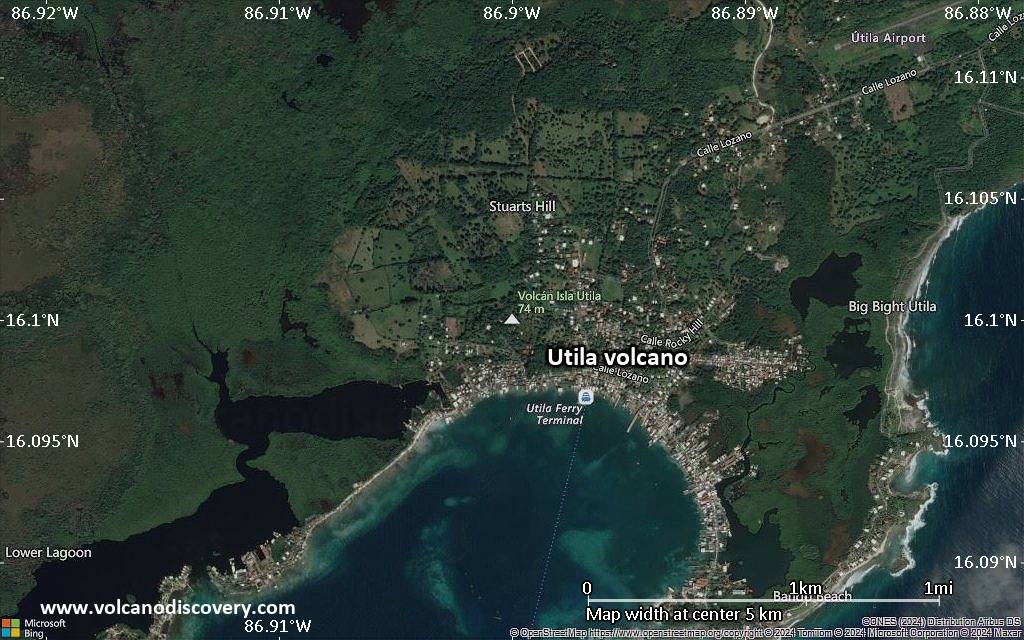
The island of Utila is the easternmost and lowest of the Bay Islands at the southern edge of the submarine Bartlett Trough. Utila is covered by a thin layer of Holocene basaltic rocks at its eastern end. Basaltic lavas and tuffs were erupted onto a coral-capped erosional surface.
Stuert Hill (also spelled Stuart Hill) is a pyroclastic cone that was constructed at the center of the volcanic terrain, and Pumpkin Hill is a small littoral cone located along the NE coast of the island. The high point of the island is Pumpkin Hill, which rises only 74 m above sea level.
---
from: Smithsonian / GVP volcano information

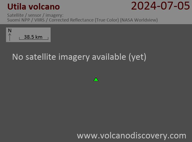
Últimas imágenes satelitales

Utila imagen satelital sat1Utila imagen satelital sat2

Utila Volcán Mapas

Below is a selection of maps showing the location and surroundings of the volcano at various resolutions based on aerial-imagery / terrain maps. Feel free to use them for non-commercial purposes on your blog or website as long as you credit them with a link back to this page (click to copy it).
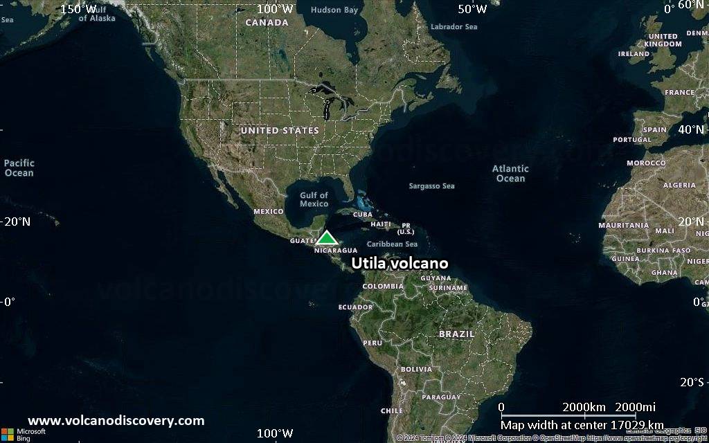
Satellite/aerial-type map of Utila volcano (world scale)
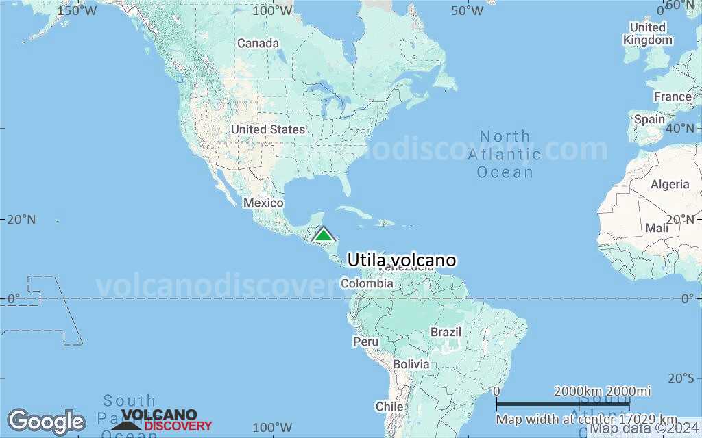
Terrain-type map of Utila volcano (world scale)
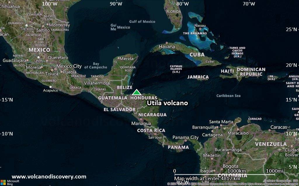
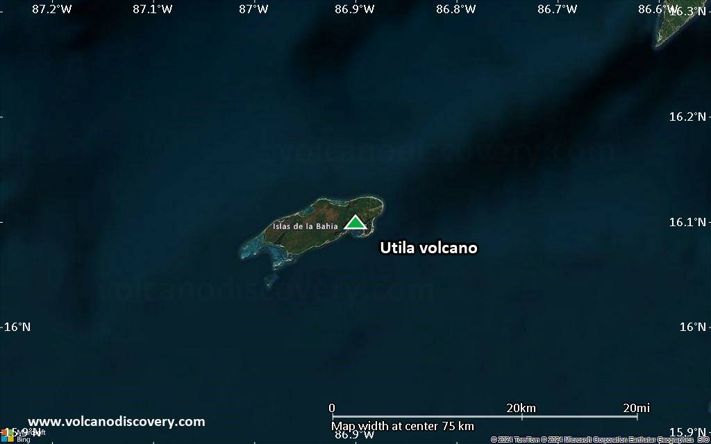
Satellite/aerial-type map of Utila volcano (region scale large)
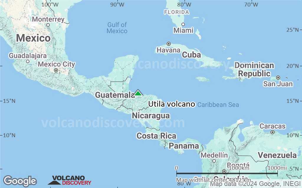
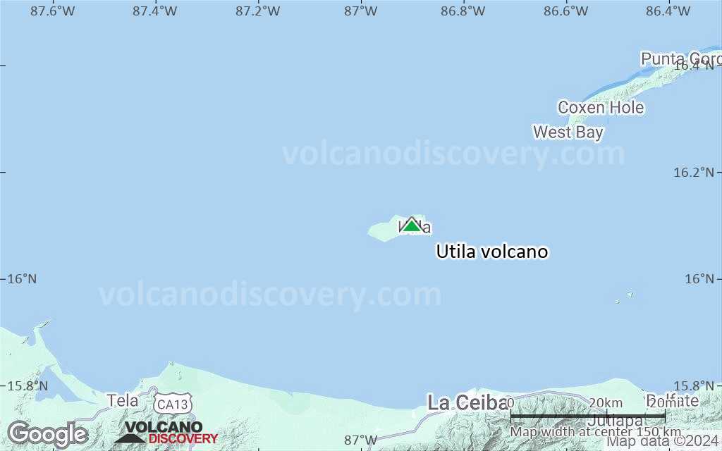
Terrain-type map of Utila volcano (region scale large)
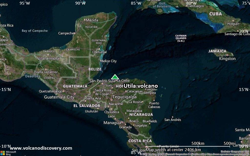
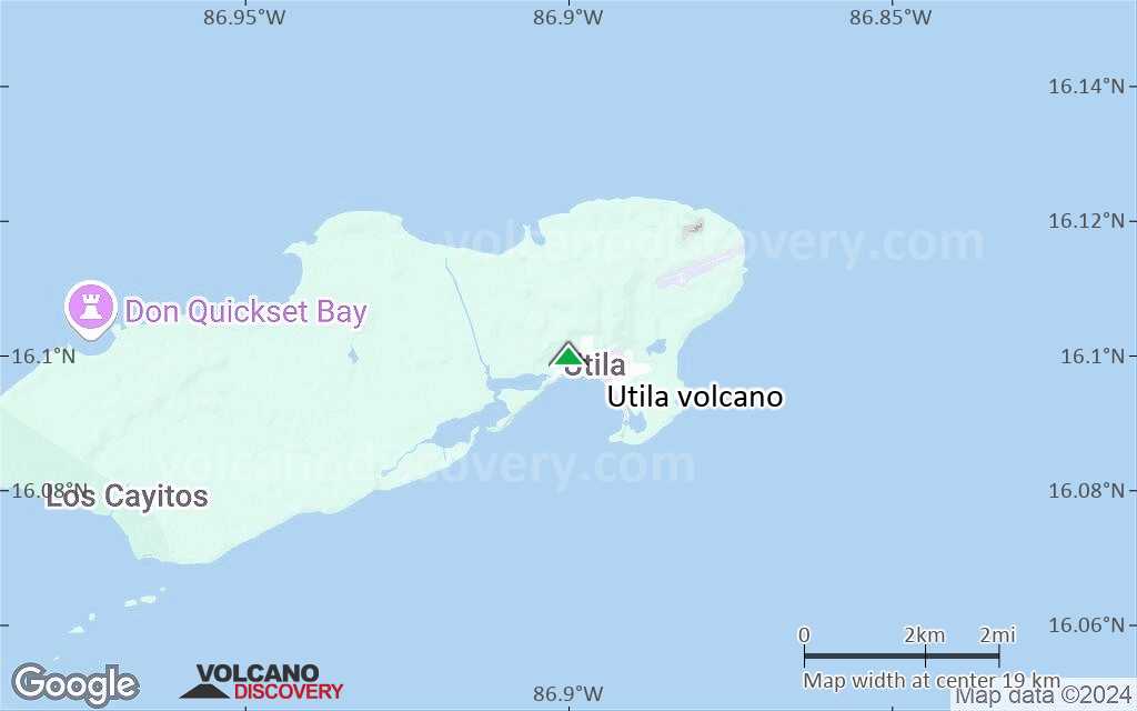
Satellite/aerial-type map of Utila volcano (region scale medium)
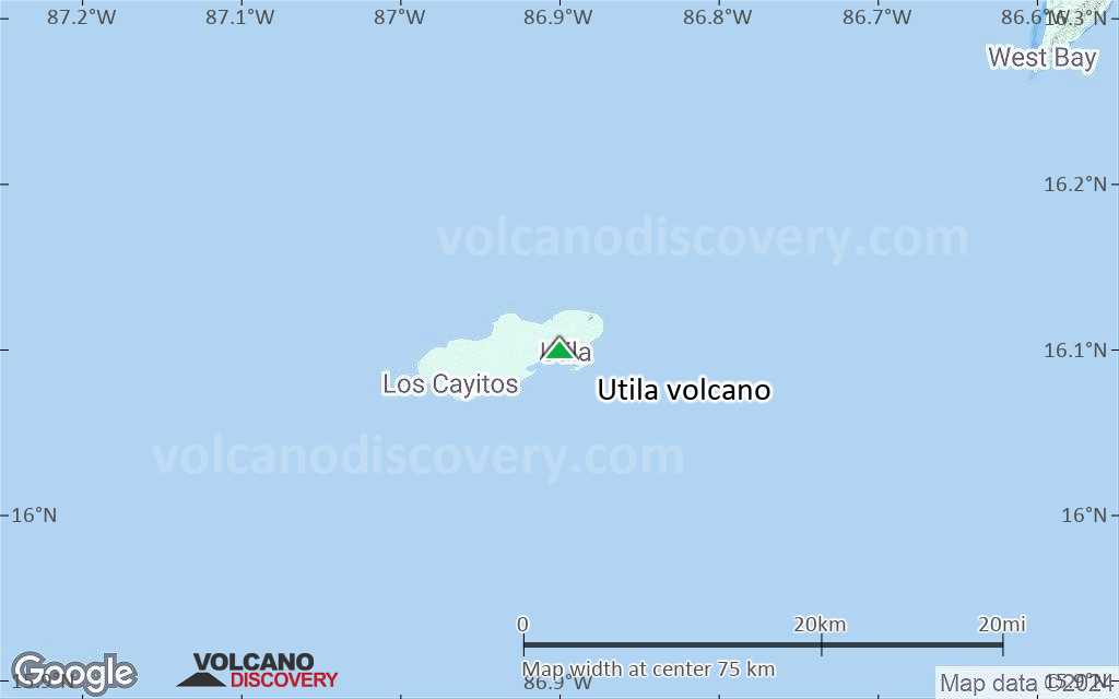
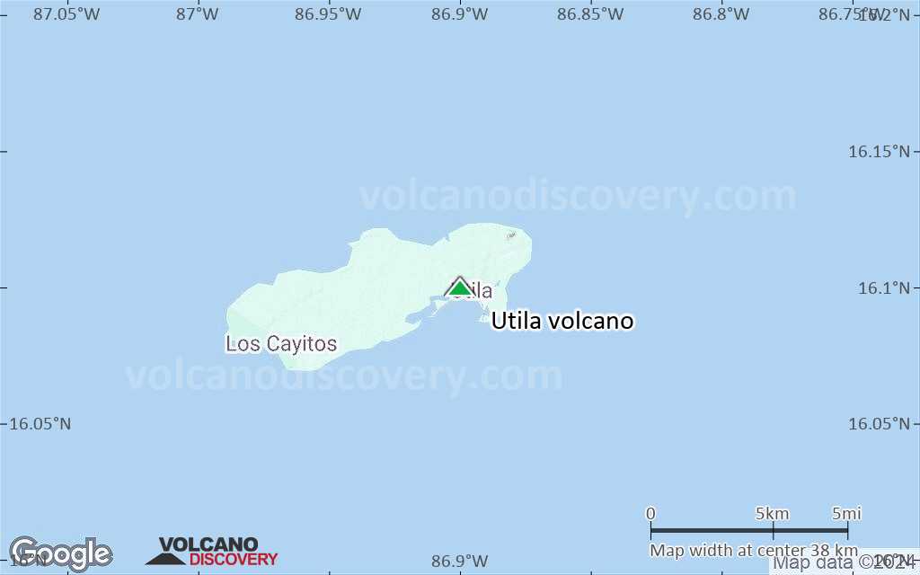
Terrain-type map of Utila volcano (region scale medium)
Satellite/aerial-type map of Utila volcano (region scale small)
Terrain-type map of Utila volcano (region scale small)
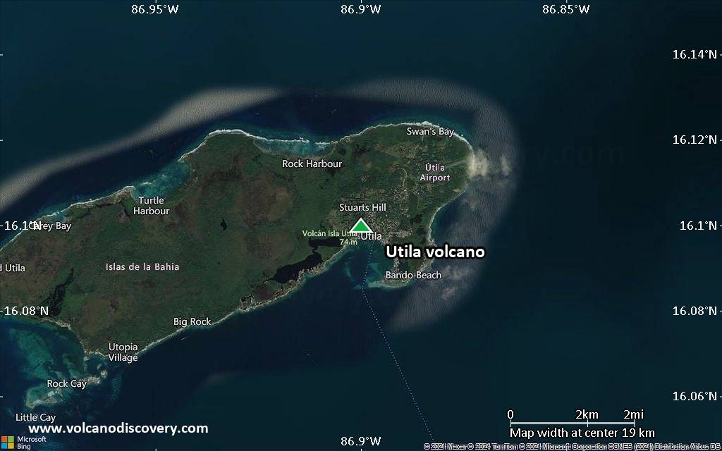
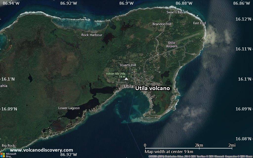
Satellite/aerial-type map of Utila volcano (local scale large)
Terrain-type map of Utila volcano (local scale large)
Satellite/aerial-type map of Utila volcano (local scale medium)
Terrain-type map of Utila volcano (local scale medium)
Satellite/aerial-type map of Utila volcano (local scale small)
Terrain-type map of Utila volcano (local scale small)
Satellite/aerial-type map of Utila volcano (scale of 10s of km)
Terrain-type map of Utila volcano (scale of 10s of km)
Satellite/aerial-type map of Utila volcano (scale of 20-40 km)
Terrain-type map of Utila volcano (scale of 20-40 km)
Satellite/aerial-type map of Utila volcano (scale of approx. 10-20 km)
Terrain-type map of Utila volcano (scale of approx. 10-20 km)
Satellite/aerial-type map of Utila volcano (scale of 5-10 km)
Satellite/aerial-type map of Utila volcano (scale of few kilometers)
Volcanoes & Earthquakes - new app for Android
Guaranteed tours
9-25 jun 2025: Volcanoes and Spices - Halmahera N-Sulawesi (Indonesia)
7-22 jul 2025: From Krakatau to Bali - Java (Indonesia)
7-23 jul 2025: Volcanoes and Spices - Halmahera N-Sulawesi (Indonesia)
1-17 ago 2025: Volcanoes and Spices - Halmahera N-Sulawesi (Indonesia)
1-14 oct 2025: Desert, salt and volcanoes - Danakil desert (Ethiopia)
4-12 oct 2025: From Stromboli to Etna - Sicily and Eolian Islands (Italy)
6-21 oct 2025: From Krakatau to Bali - Java (Indonesia)
3-19 nov 2025: Volcanoes and Spices - Halmahera N-Sulawesi (Indonesia)
= spaces available   = guaranteed   = few spaces left   = booked out

No news in this list.

En esta página:

Try our free app!
Volcanoes & Earthquakes - new app for Android
Android | iOS version

More on VolcanoDiscovery

Why is there advertising on this site?

Support us - Help us upgrade our services!

We truly love working to bring you the latest volcano and earthquake data from around the world. Maintaining our website and our free apps does require, however, considerable time and resources.
We need financing to increase hard- and software capacity as well as support our editor team. We're aiming to achieve uninterrupted service wherever an earthquake or volcano eruption unfolds, and your donations can make it happen! Every donation will be highly appreciated. If you find the information useful and would like to support our team in integrating further features, write great content, and in upgrading our soft- and hardware, please make a donation (PayPal).

Planned features:Thanks to your past donations, these features have been added recently:
Download and Upgrade the Volcanoes & Earthquakes app to get one of the fastest seismic and volcano alerts online:
Android | IOS
Thank you!
Sources: VolcanoDiscovery / VolcanoAdventures and other sources as noted.
Use of material: Most text and images on our websites are owned by us. Re-use is generally not permitted without authorization. Contact us for licensing rights.
Volcanoes & Earthquakes
VolcanoDiscovery Home
Volcanes | Sismos | Fotos | News | | Shop | App
Adventure & Study Travel
Tours to Volcanoes and Volcanic Areas: walking tours, photo tours, study tours
Tours & Dates | FAQ | About us
Get our newsletter!
Company info
Contact | Legal info | Terms & conditions
Follow us
Follow us on facebook Follow us on Instagram Follow us on Bluesky Follow us on Twitter Visit our Youtube channel
EN | DE | EL | ES | FR | IT | RU
VolcanoDiscovery GmbH, Germany, Reg. nr.: HRB 103744, EU Tax Id: DE 297 465 123 owned and created by
Dr. Tom Pfeiffer, volcanologist, volcano photographer, tour organizer member of
IAVCEI
IAVCEI
Vulkanologische Gesellschaft
Volcanological Society
Ecotourism Greece
Ecotourism Greece
RUV insurance
Insured by R+V
VolcanoDiscovery © 2004- All Rights Reserved | Privacy - Cookie Settings