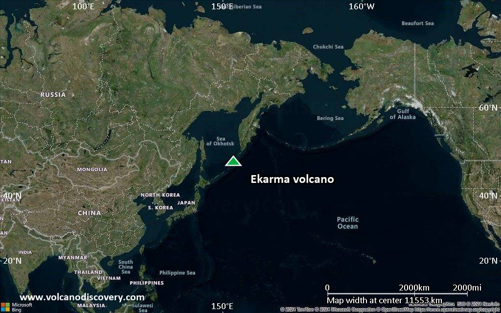
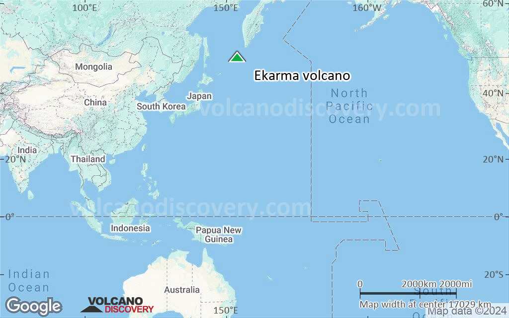
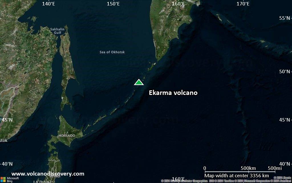
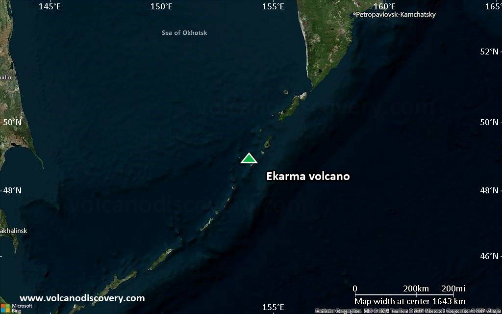
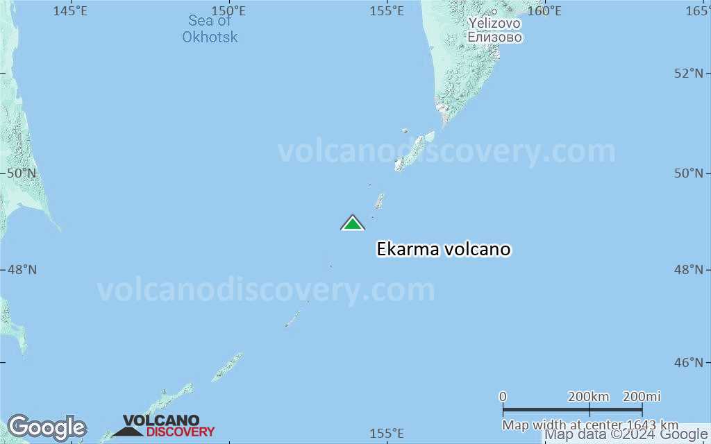
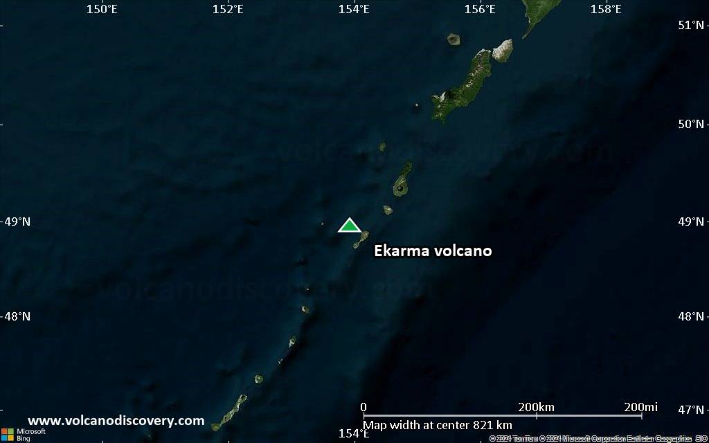
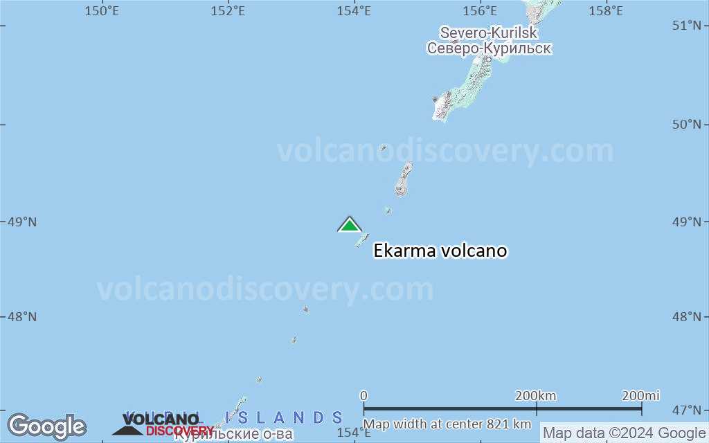
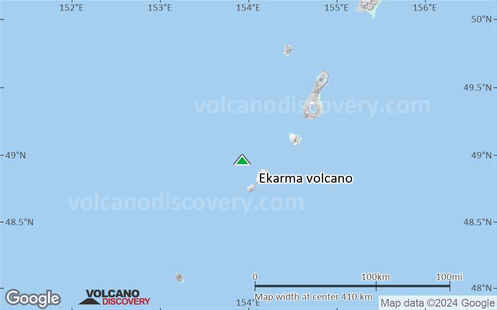
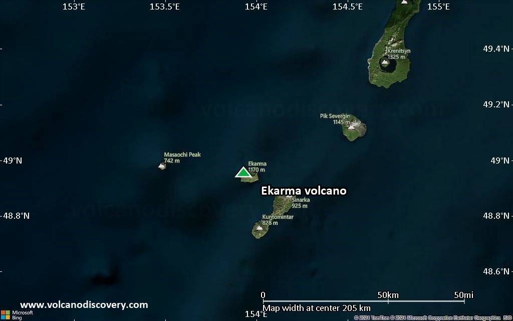
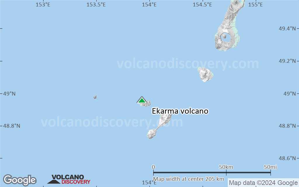
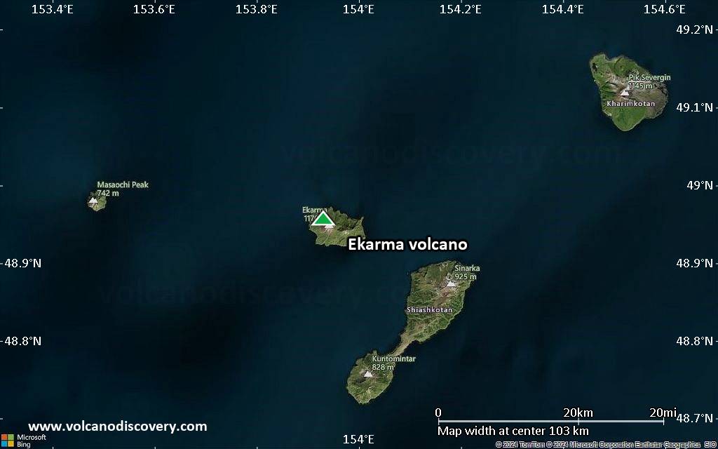
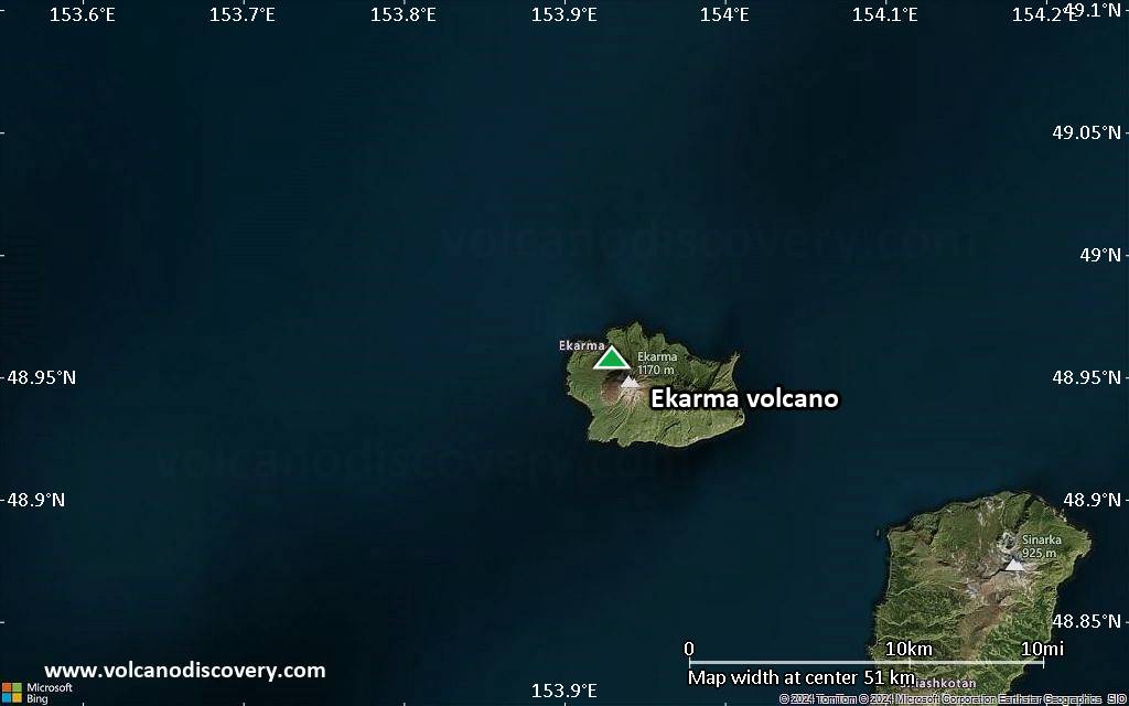
| RSS | EN | DE | EL | ES | FR | IT | RU

Ekarma Volcan

Updated: 5 juil.. 2025 21:44 GMT -
stratovolcano
Northern Kuriles (Iles Kuriles), 48.96°N / 153.93°E
Summit height: 1170 m / 3,839 ft
Condition actuelle: normal / en sommeil (1 sur 5)
Last update: 14 déc. 2021 (Smithsonian / USGS Weekly Volcanic Activity Report)

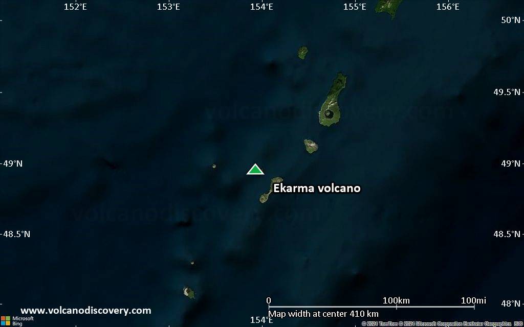
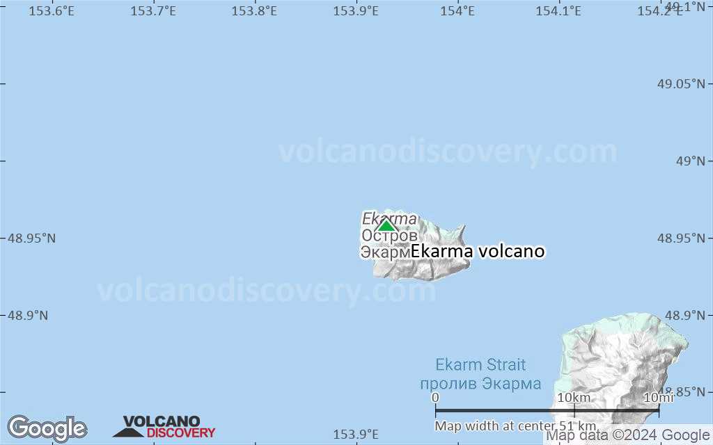
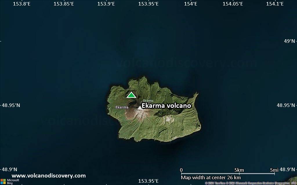
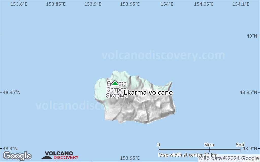
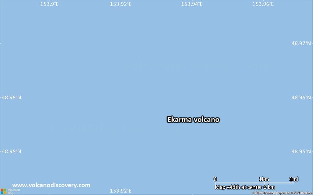
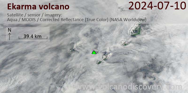
Ekarma stratovolcano forms a small 5 x 7.5 km island 8.5 km north of Shiashkotan Island in the northern Kurile Islands, Russia.
The volcano belongs to an E-W-trending volcanic chain extending westward from the central part of the main Kuril Island arc. It contains two overlapping basaltic-andesite to andesitic volcanoes, with the western one showing historical activity. Lava flows have flown 3 km in all directions from the summit of the younger cone to the sea, forming a sinuous shoreline.
The island summit is formed by a lava dome which formed in the first historic eruption of Ekarma between 1767-69.

[smaller] [larger]
Style éruptif tipique: explosive
Eruptions du volcan Ekarma: 1980, 1767-69

Derniers séismes proches

Date et l'heureMag / Prof.Distance / Lieux

Éruptions volcaniques importantes: volcano Ekarma

In the past 10,000 years, Ekarma has had at least 3 confirmed eruptions, all documented by historical records or observations.
The table below lists all known eruptions (date in bold face) of Ekarma volcano in historic times and during the past 10,000 years. Updates on the most recent volcanic activity of Ekarma can be found on the news page of Ekarma volcano.
DateNoteVEIMortsDommages
2010 Jun 30 - Août 10 ?Upper SW flank
Obs./docs historiques
2
inconnu
1980 Mai 24
Obs./docs historiques
1
inconnu
1767 - 1769Summit dome
Obs./docs historiques
2
inconnu
Remark:
Our list of volcanic eruptions closely follows the database of eruptions of the Smithsonian's Global Volcanism Project (GVP), the internationally most recognized data source for volcanic eruptions, but also includes significant eruptive episodes or related volcano events. "Volcanic eruptions" are usually to be understood as sequences of individual eruptive episodes that can follow each other, or even overlap (if several vents are involved), and can last many years, decades or even longer. For example, the current activity of Stromboli volcano is understood as a single eruption that has been ongoing since 1934.
Sources: NOAA National Centers for Environmental Information (NCEI), Global Significant Volcanic Eruptions Database. doi:10.7289/V5TD9V7K | Global Volcanism Project / Smithsonian Institution

Eruptions du volcan Ekarma


1980 eruption
An eruption was observed on 24 May 1980 from a fishing boat. Ash clouds were erupted to a height of 1 km.

Ekarma Volcano FAQ

+When was the last eruption of Ekarma volcano?

+How often does Ekarma volcano erupt?

+How active is Ekarma volcano at present?

+When was the largest eruption of Ekarma volcano?

Dernières images satellite

Ekarma image satellite sat1Ekarma image satellite sat2

Ekarma Volcan Cartes

Below is a selection of maps showing the location and surroundings of the volcano at various resolutions based on aerial-imagery / terrain maps. Feel free to use them for non-commercial purposes on your blog or website as long as you credit them with a link back to this page (click to copy it).
Satellite/aerial-type map of Ekarma volcano (world scale)
Terrain-type map of Ekarma volcano (world scale)
Satellite/aerial-type map of Ekarma volcano (region scale large)
Terrain-type map of Ekarma volcano (region scale large)
Satellite/aerial-type map of Ekarma volcano (region scale medium)
Terrain-type map of Ekarma volcano (region scale medium)
Satellite/aerial-type map of Ekarma volcano (region scale small)
Terrain-type map of Ekarma volcano (region scale small)
Satellite/aerial-type map of Ekarma volcano (local scale large)
Terrain-type map of Ekarma volcano (local scale large)
Satellite/aerial-type map of Ekarma volcano (local scale medium)
Terrain-type map of Ekarma volcano (local scale medium)
Satellite/aerial-type map of Ekarma volcano (local scale small)
Terrain-type map of Ekarma volcano (local scale small)
Satellite/aerial-type map of Ekarma volcano (scale of 10s of km)
Terrain-type map of Ekarma volcano (scale of 10s of km)
Satellite/aerial-type map of Ekarma volcano (scale of 20-40 km)
Terrain-type map of Ekarma volcano (scale of 20-40 km)
Satellite/aerial-type map of Ekarma volcano (scale of approx. 10-20 km)
Terrain-type map of Ekarma volcano (scale of approx. 10-20 km)
Satellite/aerial-type map of Ekarma volcano (scale of 5-10 km)
Satellite/aerial-type map of Ekarma volcano (scale of few kilometers)
Volcanoes & Earthquakes - new app for Android
Départs garantis:
1-17 août 2025: Volcans et Épices - Mer des Moluques (Sulawesi, Indonésie)
1-14 oct. 2025: Désert, sels et volcans - Désert de Danakil (Éthiopie)
4-12 oct. 2025: Montagnes de Feu - du Stromboli à l'Etna - Eoliennes + Etna
6-21 oct. 2025: Du Krakatau à Bali - Java (Indonésie)
3-19 nov. 2025: Volcans et Épices - Mer des Moluques (Sulawesi, Indonésie)
= Places libres   = Départ garanti   = Quelques places disponibles   = Groupe fermé
mer., 8 sept. 2010, 06:00

Ekarma volcano (Kuril Islands, Russia) - Smithsonian / USGS Weekly Volcanic Activity Report for 8 September-14 September 2010 (New Activity / Unrest)

On 13 September, SVERT reported that strong steam-and-gas activity from Ekarma continued. Ekarma does not have a seismic network; satellite image analysis and infrequent ground observations are the primary tool for monitoring many of the Kuril Islands volcanoes. ... Tout lire
mer., 1 sept. 2010, 06:00

Ekarma volcano (Kuril Islands, Russia) - Smithsonian / USGS Weekly Volcanic Activity Report for 1 September-7 September 2010 (New Activity / Unrest)

On 6 September, SVERT reported that strong steam-and-gas activity from Ekarma continued. Ekarma does not have a seismic network; satellite image analysis and infrequent ground observations are the primary tool for monitoring many of the Kuril Islands volcanoes. ... Tout lire

Sur cette page:

Try our free app!
Volcanoes & Earthquakes - new app for Android
Android | iOS version

More on VolcanoDiscovery

Why is there advertising on this site?

Support us - Help us upgrade our services!

We truly love working to bring you the latest volcano and earthquake data from around the world. Maintaining our website and our free apps does require, however, considerable time and resources.
We need financing to increase hard- and software capacity as well as support our editor team. We're aiming to achieve uninterrupted service wherever an earthquake or volcano eruption unfolds, and your donations can make it happen! Every donation will be highly appreciated. If you find the information useful and would like to support our team in integrating further features, write great content, and in upgrading our soft- and hardware, please make a donation (PayPal).

Planned features:Thanks to your past donations, these features have been added recently:
Download and Upgrade the Volcanoes & Earthquakes app to get one of the fastest seismic and volcano alerts online:
Android | IOS
Thank you!
Copyright: VolcanoDiscovery ou autres sources indiquées.
Utilisation des documents: Les textes, les images et les vidéos de ce site internet sont protégées par copyright. Toute reproduction et tout usage sans accord préalable ne sont pas autorisés. Si vous désirez acquérir pour certains documents (photos, vidéos, textes ou autres) le droit de reproduction, d'édition et, plus généralement, de toute utilisation destinée à un usage public, qu'elle soit commerciale ou pas, vous êtes priés de nous contacter.
Volcanoes & Earthquakes
VolcanoDiscovery Home
Volcans | Séismes | Photos | Actualités | | Shop | App
Adventure & Study Travel
Tours to Volcanoes and Volcanic Areas: walking tours, photo tours, study tours
Voyages |
Get our newsletter!
Company info
Contact | Mentions légales | Terms & conditions
Follow us
Follow us on facebook Follow us on Instagram Follow us on Bluesky Follow us on Twitter Visit our Youtube channel
EN | DE | EL | ES | FR | IT | RU
VolcanoDiscovery GmbH, Germany, Reg. nr.: HRB 103744, EU Tax Id: DE 297 465 123 owned and created by
Dr. Tom Pfeiffer, volcanologist, volcano photographer, tour organizer member of
IAVCEI
IAVCEI
Vulkanologische Gesellschaft
Volcanological Society
Ecotourism Greece
Ecotourism Greece
RUV insurance
Insured by R+V
VolcanoDiscovery © 2004- All Rights Reserved | Privacy - Changer Préférences