


Callaqui Volcano
Updated: Nov 29, 2025 17:42 GMT -
stratovolcano
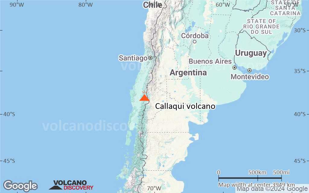
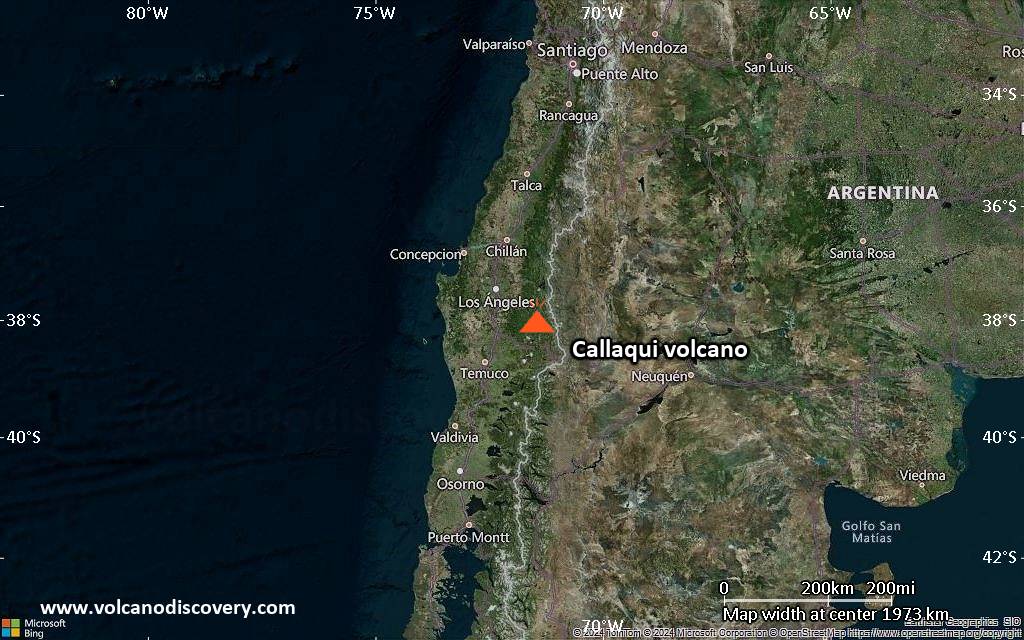
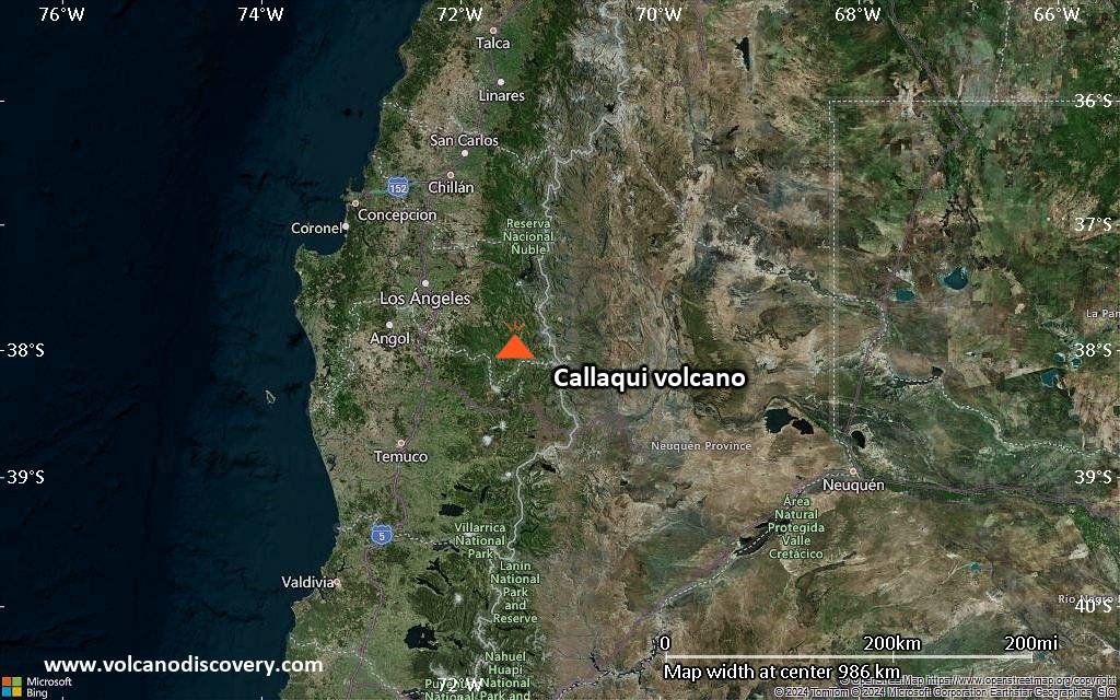
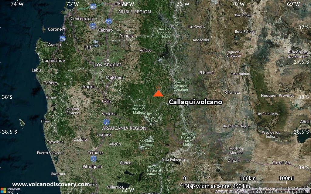
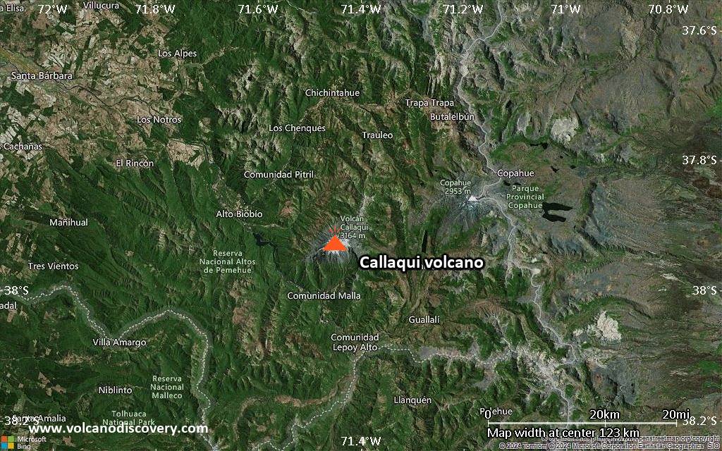
Central Chile and Argentina (South America), -37.92°S / -71.45°W 
Summit height: 3164 m / 10,380 ft
Current status: minor activity or eruption warning (3 out of 5)
Last update: 14 Nov 2025 (Volcanic Ash Advisory)
Ice-capped Callaqui volcano is an elongated basaltic-andesite stratovolcano in central Chile Volcano. It has had a few small explosive eruptions in historic time, and it is known for its intense fumarolic activity.
[smaller] [larger]
Callaqui volcano eruptions: 1980, 1937 (?), 1864 (?), 1751
Latest nearby earthquakes
| Date and Time | Mag / Depth | Distance / Location | |||
|---|---|---|---|---|---|
Background
Callaqui stratovolcano has a profile of an overturned canoe, because it has been constructed along an 11-km-long, SW-NE fissure above a 1.2-0.3 million year old Pleistocene edifice.Callaqui volcano contains well-preserved volcanic cones and lava flows, which have traveled up to 14 km. Small craters 100-500 m in diameter are primarily found along a fissure extending down the SW flank.
Intense solfataric activity occurs at the southern part of the summit; in 1966 and 1978, red glow was observed in fumarolic areas. Periods of intense fumarolic activity have dominated at Callaqui, and few historical eruptions are known. An explosive eruption was reported in 1751, there were uncertain accounts of eruptions in 1864 and 1937, and a small phreatic ash emission was noted in 1980.
Significant volcanic eruptions: Callaqui volcano
In the past 10,000 years, Callaqui has had at least 2 confirmed eruptions, all documented by historical records or observations.
Additionally, there are 5 uncertain or discredited eruptions from Callaqui volcano.
Additionally, there are 5 uncertain or discredited eruptions from Callaqui volcano.
The table below lists all known eruptions (date in bold face) of Callaqui volcano in historic times and during the past 10,000 years. Updates on the most recent volcanic activity of Callaqui can be found on the news page of Callaqui volcano.
| Date | Note | VEI | Deaths | Damage | ||
|---|---|---|---|---|---|---|
?? | Uncertain Eruption Historical obs./docs. | ? | ||||
?? | Uncertain Eruption | ? | ||||
Historical obs./docs. | 1 | |||||
?? | Uncertain Eruption | ? | ||||
Discredited Eruption | ||||||
?? | Uncertain Eruption | ? | ||||
Historical obs./docs. | 2 | |||||
Remark:
Our list of volcanic eruptions closely follows the database of eruptions of the Smithsonian's Global Volcanism Project (GVP), the internationally most recognized data source for volcanic eruptions, but also includes significant eruptive episodes or related volcano events. "Volcanic eruptions" are usually to be understood as sequences of individual eruptive episodes that can follow each other, or even overlap (if several vents are involved), and can last many years, decades or even longer. For example, the current activity of Stromboli volcano is understood as a single eruption that has been ongoing since 1934.
Sources: NOAA National Centers for Environmental Information (NCEI), Global Significant Volcanic Eruptions Database. doi:10.7289/V5TD9V7K | Global Volcanism Project / Smithsonian Institution
Callaqui Volcano FAQ
+When was the last eruption of Callaqui volcano?
The last confirmed eruption of Callaqui occurred in 1980.
+How often does Callaqui volcano erupt?
Since 1751, Callaqui volcano has had at least 2 historically documented eruptions. This means that it erupts on average every 137 years.
+How active is Callaqui volcano at present?
Callaqui volcano is occasionally active: Since 1900, it has had one eruption, which occurred in 1980.
+When was the largest eruption of Callaqui volcano?
The largest eruption of Callaqui volcano in historic times occurred in 1751. It ranks as a strombolian to vulcanian eruption with a magnitude 2 on the VEI (Volcanic Explosivity Index) scale.
Latest satellite images
Callaqui Volcano Maps
Below is a selection of maps showing the location and surroundings of the volcano at various resolutions based on aerial-imagery / terrain maps. Feel free to use them for non-commercial purposes on your blog or website as long as you credit them with a link back to this page (click to copy it).
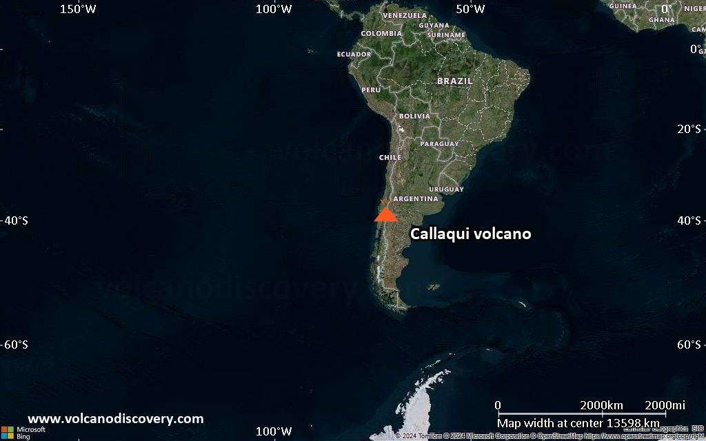
Satellite/aerial-type map of Callaqui volcano (world scale)

Terrain-type map of Callaqui volcano (world scale)

Satellite/aerial-type map of Callaqui volcano (region scale large)
Terrain-type map of Callaqui volcano (region scale large)
Satellite/aerial-type map of Callaqui volcano (region scale medium)

Terrain-type map of Callaqui volcano (region scale medium)
Satellite/aerial-type map of Callaqui volcano (region scale small)

Terrain-type map of Callaqui volcano (region scale small)
Satellite/aerial-type map of Callaqui volcano (local scale large)

Terrain-type map of Callaqui volcano (local scale large)

Satellite/aerial-type map of Callaqui volcano (local scale medium)

Terrain-type map of Callaqui volcano (local scale medium)
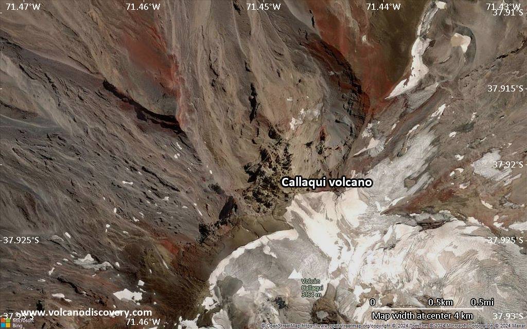
Satellite/aerial-type map of Callaqui volcano (local scale small)

Terrain-type map of Callaqui volcano (local scale small)

Satellite/aerial-type map of Callaqui volcano (scale of 10s of km)

Terrain-type map of Callaqui volcano (scale of 10s of km)

Satellite/aerial-type map of Callaqui volcano (scale of 20-40 km)

Terrain-type map of Callaqui volcano (scale of 20-40 km)

Satellite/aerial-type map of Callaqui volcano (scale of approx. 10-20 km)

Terrain-type map of Callaqui volcano (scale of approx. 10-20 km)

Satellite/aerial-type map of Callaqui volcano (scale of 5-10 km)
Satellite/aerial-type map of Callaqui volcano (scale of few kilometers)


