


Cay Volcano
Updated: Oct 19, 2025 08:11 GMT -
stratovolcano
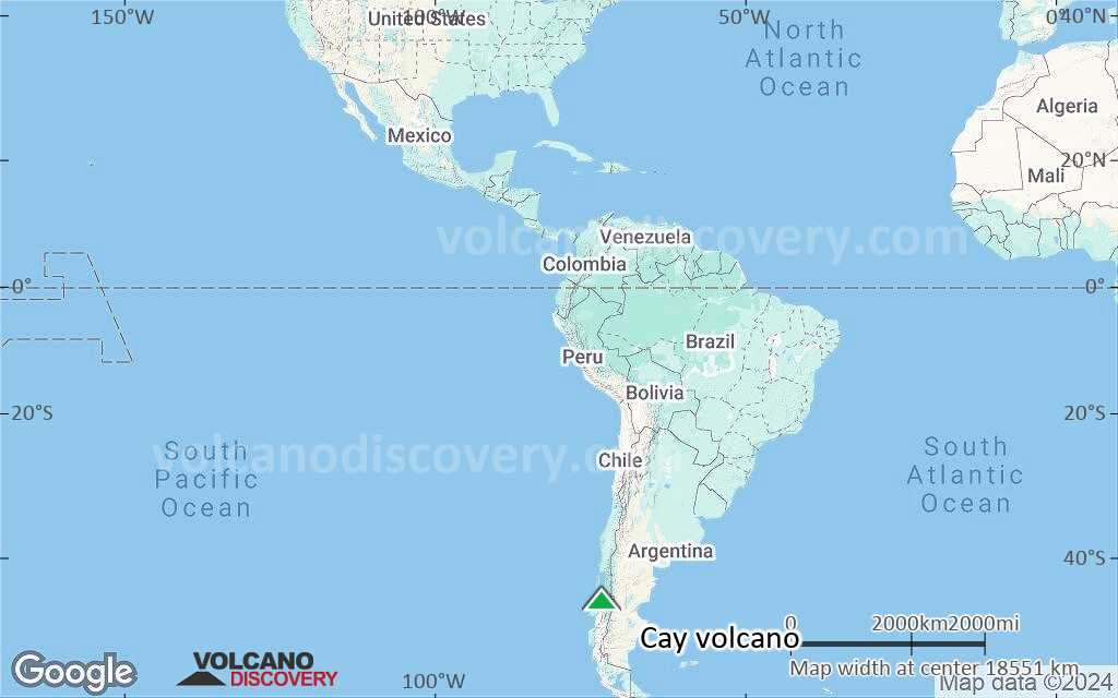
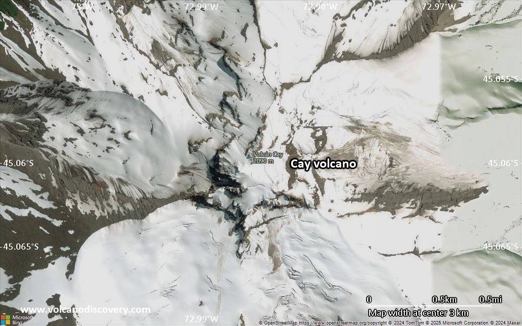
Southern Chile and Argentina (South America), -45.06°S / -72.98°W 
Summit height: 2090 m / 6,857 ft
Current status: normal or dormant (1 out of 5)
Volcán Cay is a probably still active stratovolcano in southern Chile, 15 km NE of Maca volcano and NW of the town of Puerto Aisén. Like Maca and Hudson volcanoes, Cay is one of the large composite central volcanoes in the South Andean Volcanic Zone.
Cay volcano is basaltic and dacitic in composition. It contains an explosion crater open to the east, and about a half dozen explosion craters and pyroclastic cones along a fissure trending SW of the summit.
Another 10 basaltic cinder cones are located along a second parallel fissure 5 km to the SE, which is part of the major regional Liquiñe-Ofqui fault zone.
[smaller] [larger]
Cay volcano eruptions: none in historic times
Latest nearby earthquakes
| Date and Time | Mag / Depth | Distance / Location | |||
|---|---|---|---|---|---|
Background
The volcanoes of the South Andean Volcanic Zone are typically calkalkalineand the result of the subduction of the Nazca Plate under the South America Plate. Cay volcano is located between the Guafo and Guamblin fracture zones.
Sources:
- Smithsonian / GVP volcano information
- D'Orazio et al (2003) "The Quaternary calc-alkaline volcanism of the Patagonian Andes close to the Chile triple junction: geochemistry and petrogenesis of volcanic rocks from the Cay and Maca volcanoes (~45.8°S, Chile)", Journal of South American Earth Sciences, Volume 16, Issue 4, Pages 219-242
Cay Volcano Photos

Agua volcano near Antigua, Guatemala, with erupting Pacaya in the right background (Photo: Tom Pfeiffer)

Pacaya volcano with its lava flows seen from Acatenango volcano. (Photo: Tom Pfeiffer)

Lava flow at Pacaya volcano (Photo: Tom Pfeiffer)

Zoom onto the lava flow at Pacaya volcano (Guatemala) in 2010 (Photo: Tom Pfeiffer)
Latest satellite images
Cay Volcano Maps
Below is a selection of maps showing the location and surroundings of the volcano at various resolutions based on aerial-imagery / terrain maps. Feel free to use them for non-commercial purposes on your blog or website as long as you credit them with a link back to this page (click to copy it).

Satellite/aerial-type map of Cay volcano (world scale)
Terrain-type map of Cay volcano (world scale)
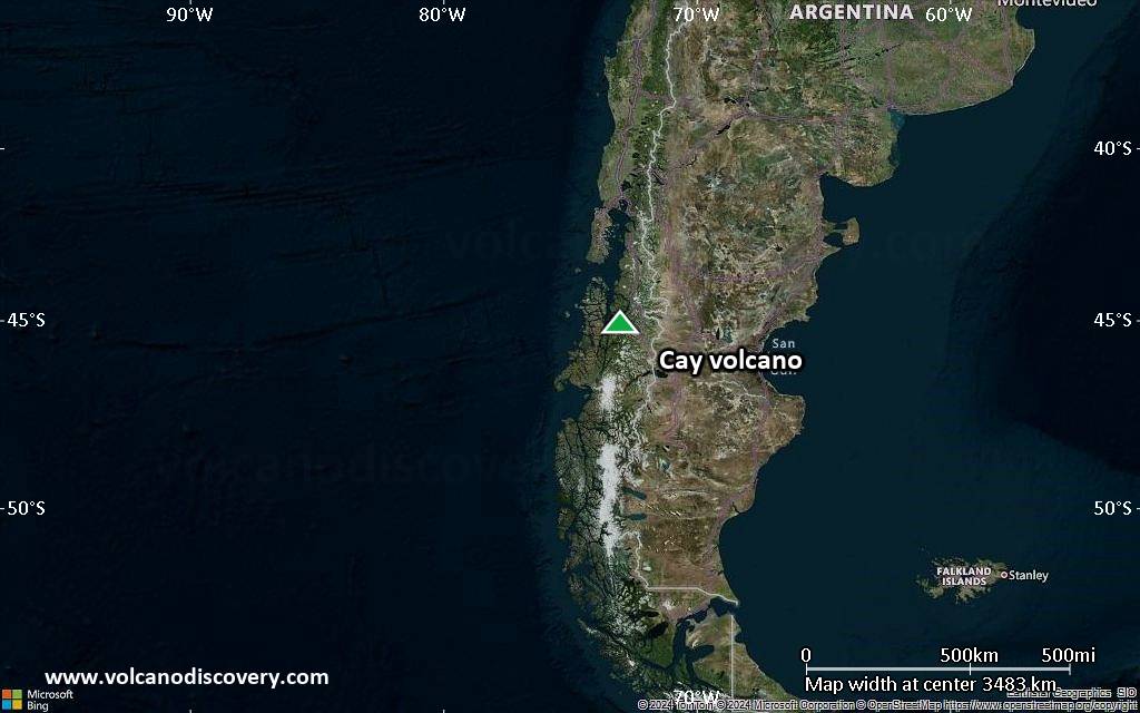
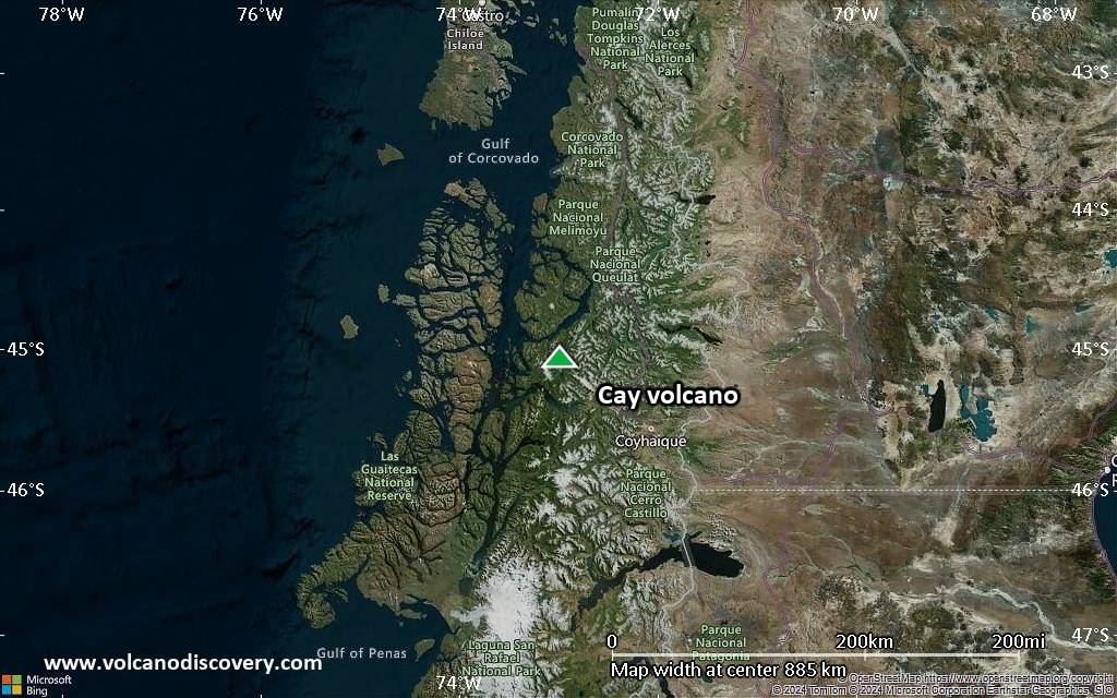
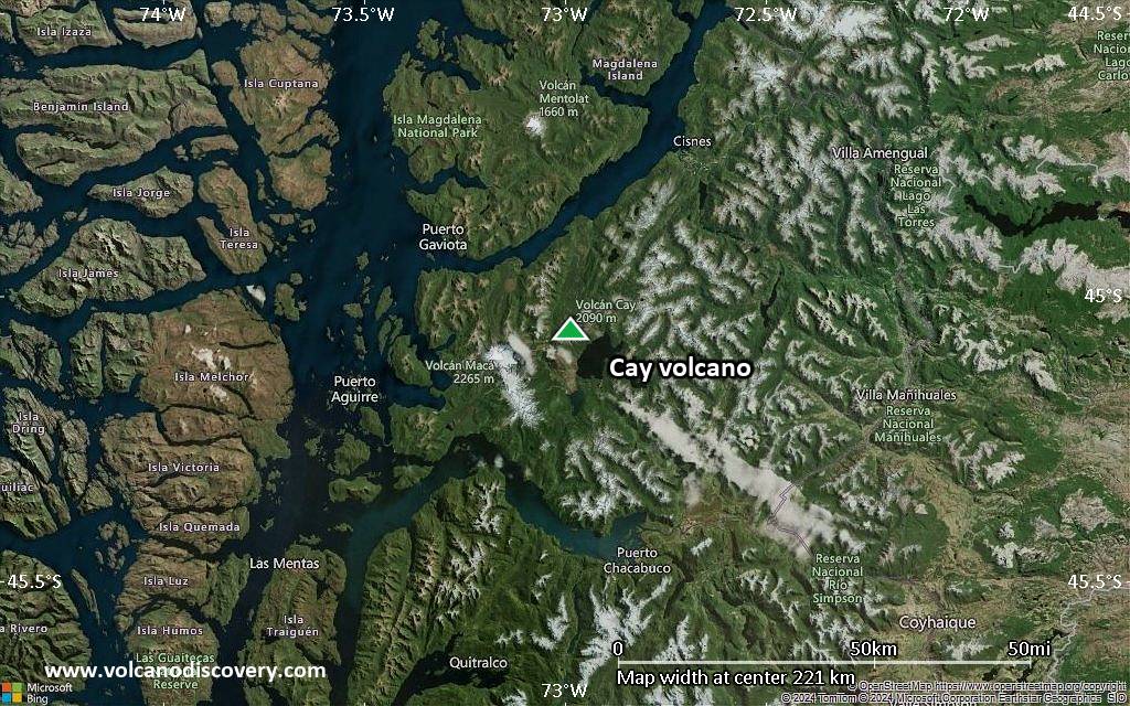
Satellite/aerial-type map of Cay volcano (region scale large)
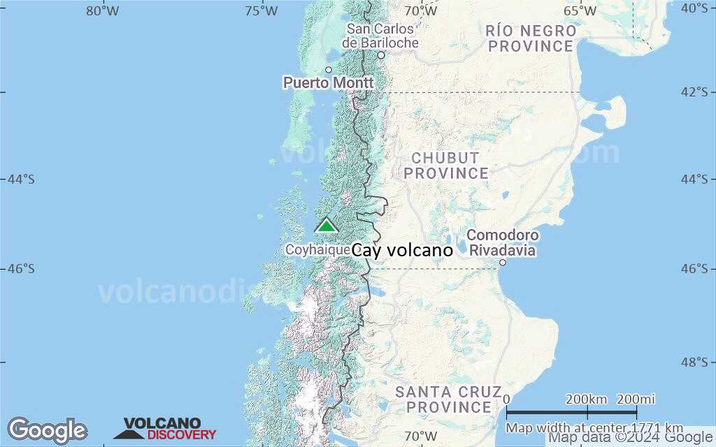
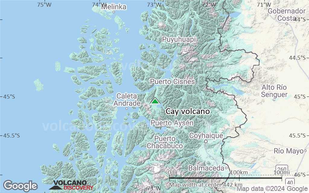
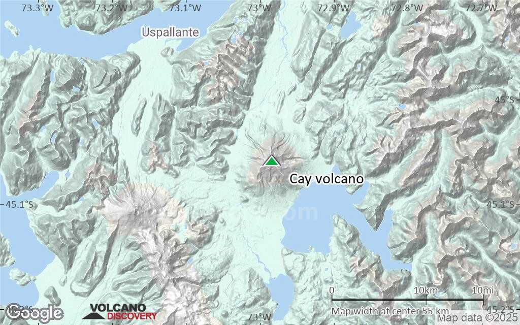
Terrain-type map of Cay volcano (region scale large)

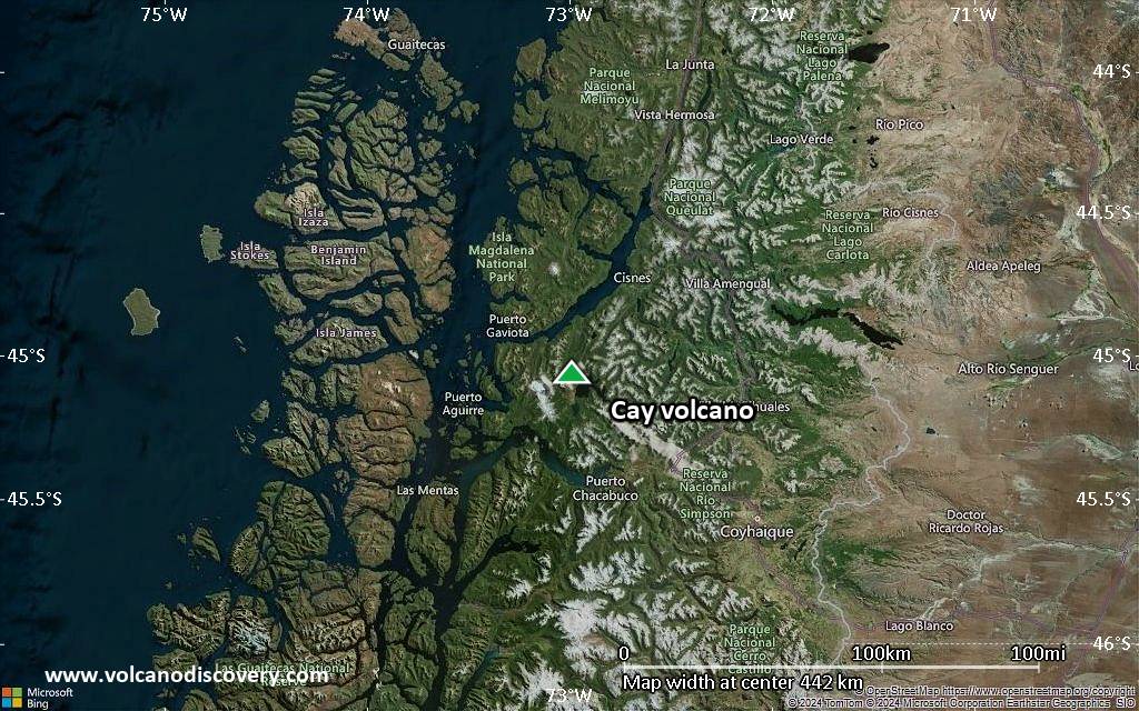
Satellite/aerial-type map of Cay volcano (region scale medium)
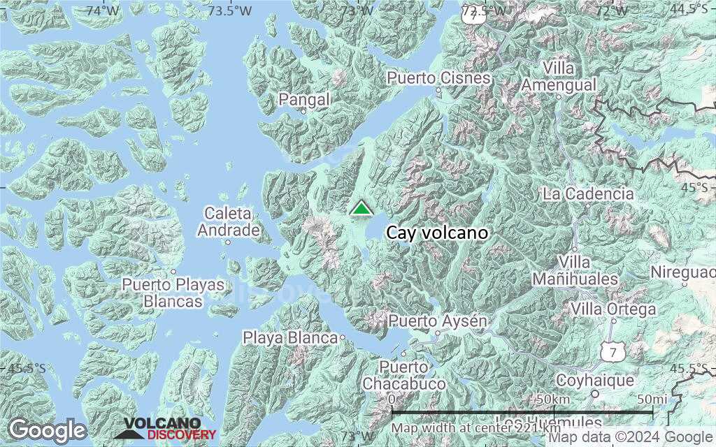
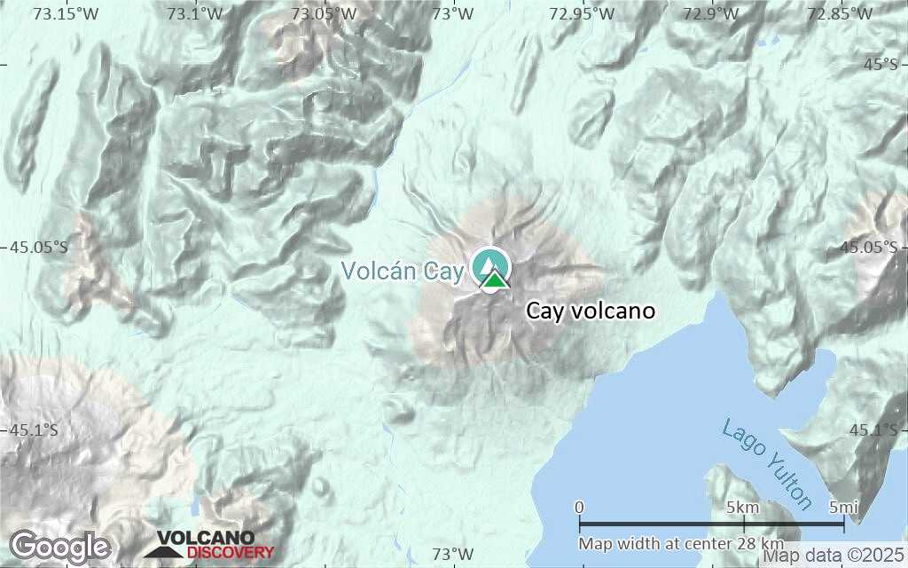
Terrain-type map of Cay volcano (region scale medium)
Satellite/aerial-type map of Cay volcano (region scale small)

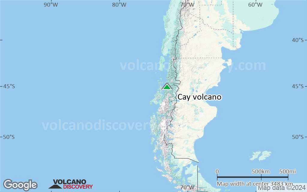
Terrain-type map of Cay volcano (region scale small)
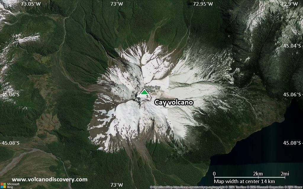
Satellite/aerial-type map of Cay volcano (local scale large)
Terrain-type map of Cay volcano (local scale large)
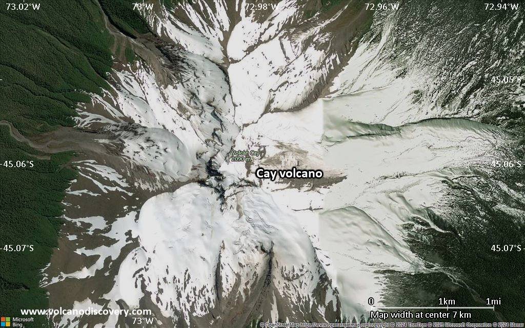
Satellite/aerial-type map of Cay volcano (local scale medium)
Terrain-type map of Cay volcano (local scale medium)

Satellite/aerial-type map of Cay volcano (local scale small)

Terrain-type map of Cay volcano (local scale small)
Satellite/aerial-type map of Cay volcano (scale of 10s of km)
Terrain-type map of Cay volcano (scale of 10s of km)

Satellite/aerial-type map of Cay volcano (scale of 20-40 km)
Terrain-type map of Cay volcano (scale of 20-40 km)
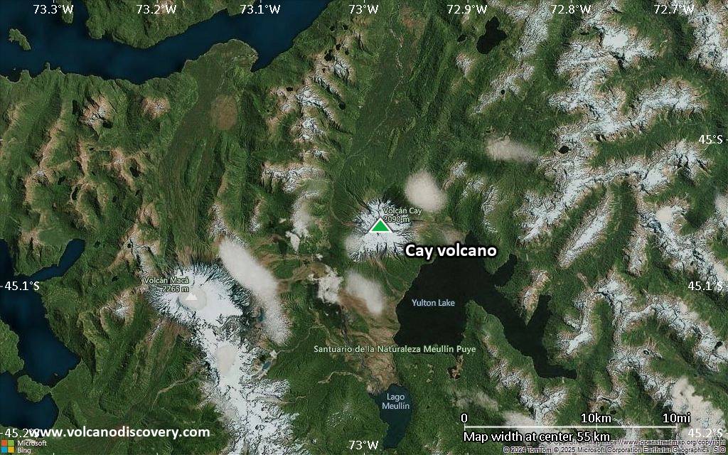
Satellite/aerial-type map of Cay volcano (scale of approx. 10-20 km)

Terrain-type map of Cay volcano (scale of approx. 10-20 km)
Satellite/aerial-type map of Cay volcano (scale of 5-10 km)
Satellite/aerial-type map of Cay volcano (scale of few kilometers)


