El Tatio Volcano
Updated: 26. Apr. 2024 20:11 GMT -
hydrothermal field 4280 m / 14,042 ft
Chile / Argentinien (Norden) + Bolivien (Südamerika), -22.35°S / -68.03°W
Aktueller Status: (wahrscheinlich) erloschen (0 von 5)
Chile / Argentinien (Norden) + Bolivien (Südamerika), -22.35°S / -68.03°W
Aktueller Status: (wahrscheinlich) erloschen (0 von 5)
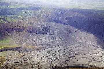
El Tatio is one of the most impressive thermal areas of the Andes. The geothermal field is located in northern Chile within a depression east of a chain of older volcanoes, Cerro Deslinde, Cerro Volcán, Cerros del Tatio, and Volcán Tatio.
The Hoyada de Los Geisers del Tatio geothermal field covers 30 sq km and contains 85 fumaroles and solfataras, 62 hot springs, 40 geysers, 5 mud volcanoes, and extensive sinter terraces. It is the world's third largest geyser field and the largest geothermal area in the southern hemisphere.
It has been tried to install geothermal energy plants, but the remoteness of the area and difficulty in providing infrastructure prohibited its development.
[smaller] [larger]
Ausbrüche des El Tatio: none within the past 10,000 years
Letzte Erdbeben in der Nähe
| Uhrzeit | Mag. / Tiefe | Entfernung / Ort | |||
Beschreibung
Quaternary (Guest and Sanchez, 1969); not Holocene (Moreno, 1985).---
Source: Smithsonian / GVP volcano information
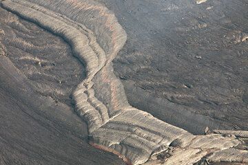
El Tatio Volcano Photos
Plattentektonik in Miniaturausgabe: zwei Teile der Kruste über dem Lavasee driften von einander weg und die Nahtstelle wird durch nachströmende frische Lava gefüllt. Auch...
Die Ausbrüche der vergangenen Wochen haben immer wieder zu starken Aschefällen in einem kilometergroßen westlichen Sektor geführt, da die vorherrschende Windrichtung aus ...
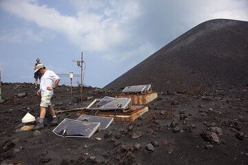
Der seismische Station auf dem alten Kraterrand ist von Bomben arg zugerichtet worden. (Photo: Tom Pfeiffer)
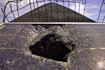
Einschlag einer vulkanischen Bombe in eine Solarzelle des Seismographen auf der Vulkaninsel Anak Krakatau. (Photo: Tobias Schorr)
Latest satellite images