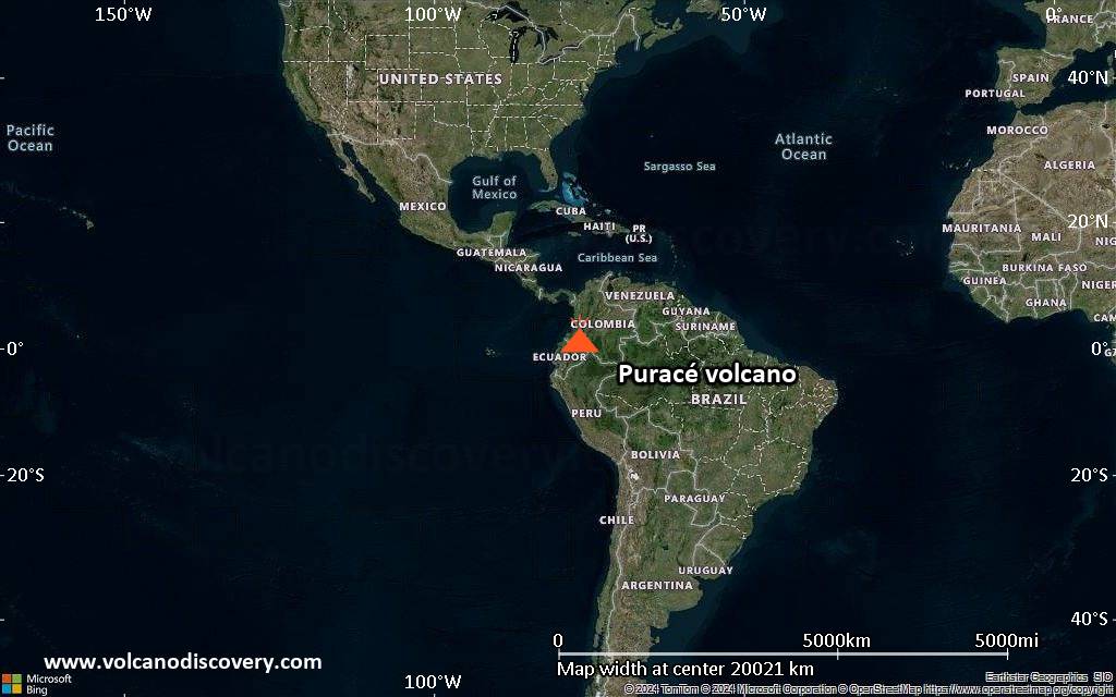
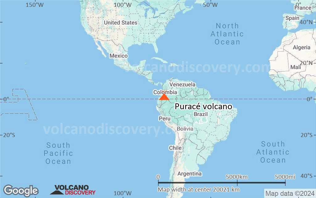
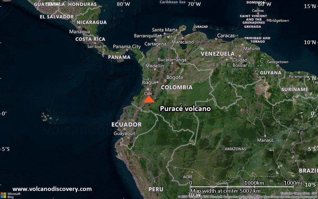
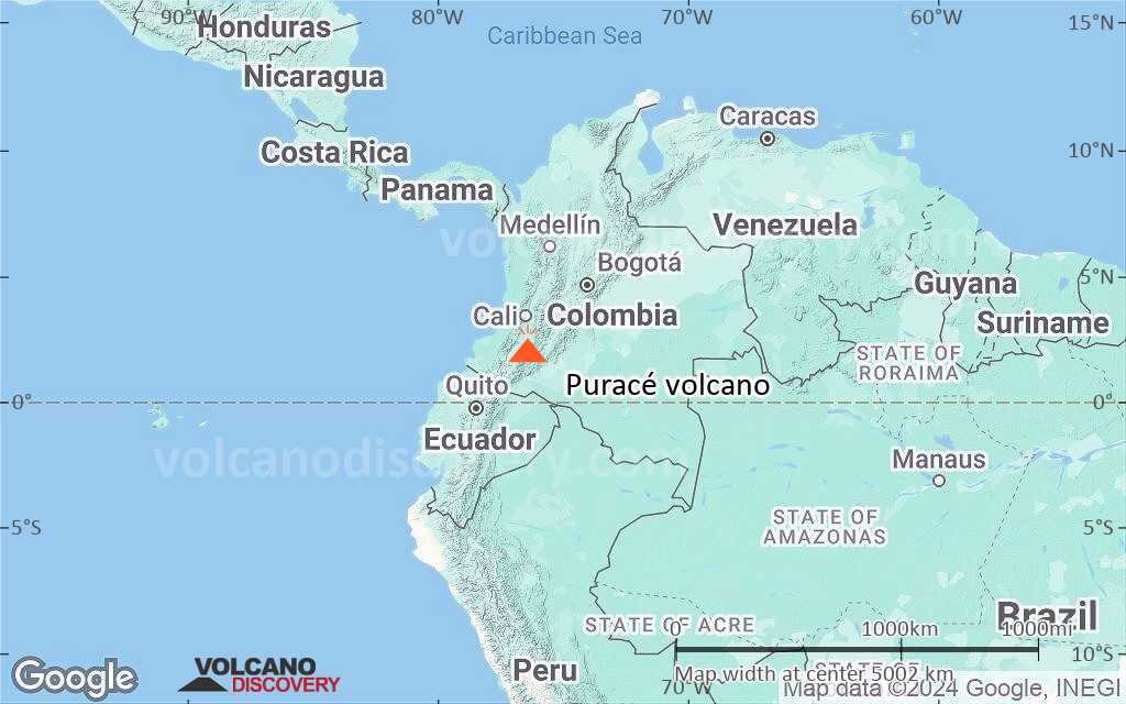
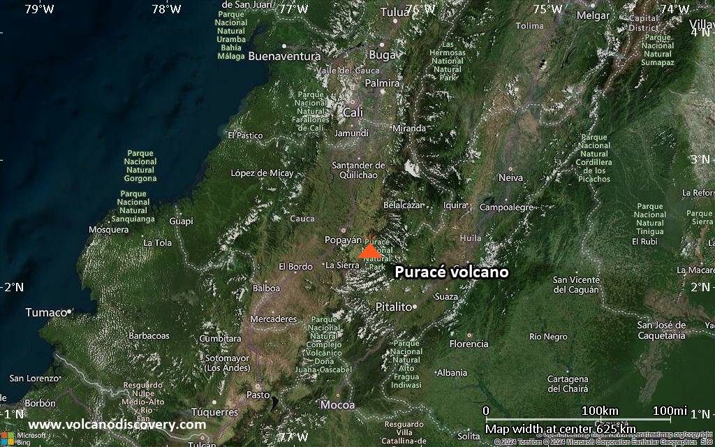
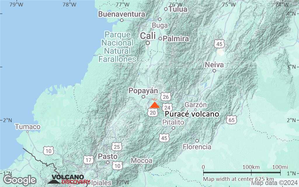
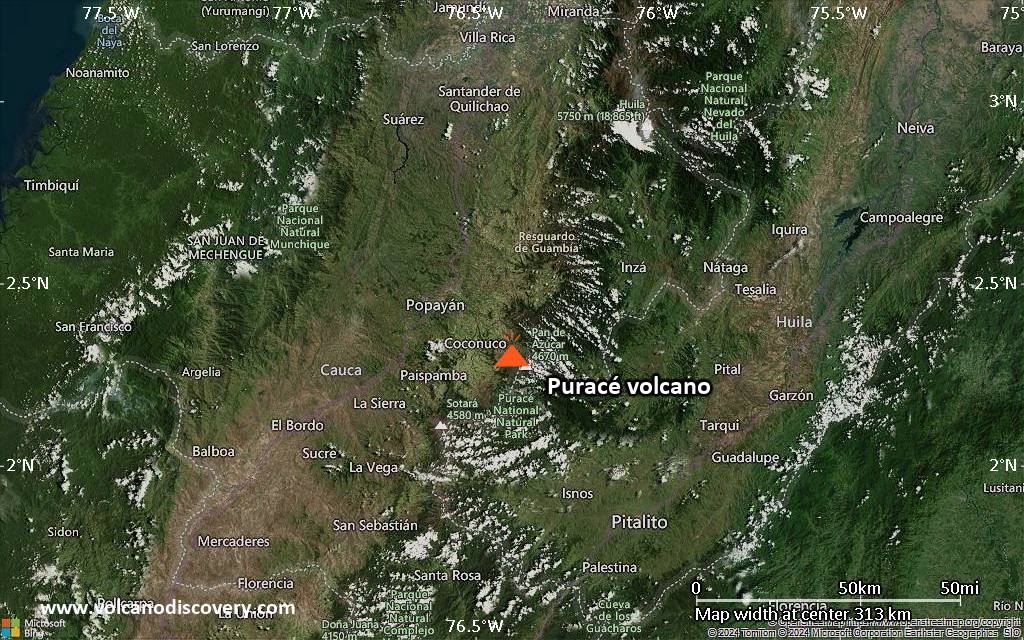
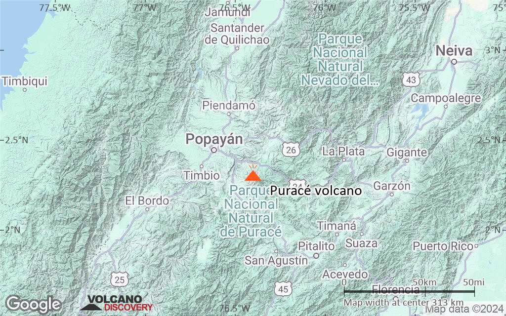
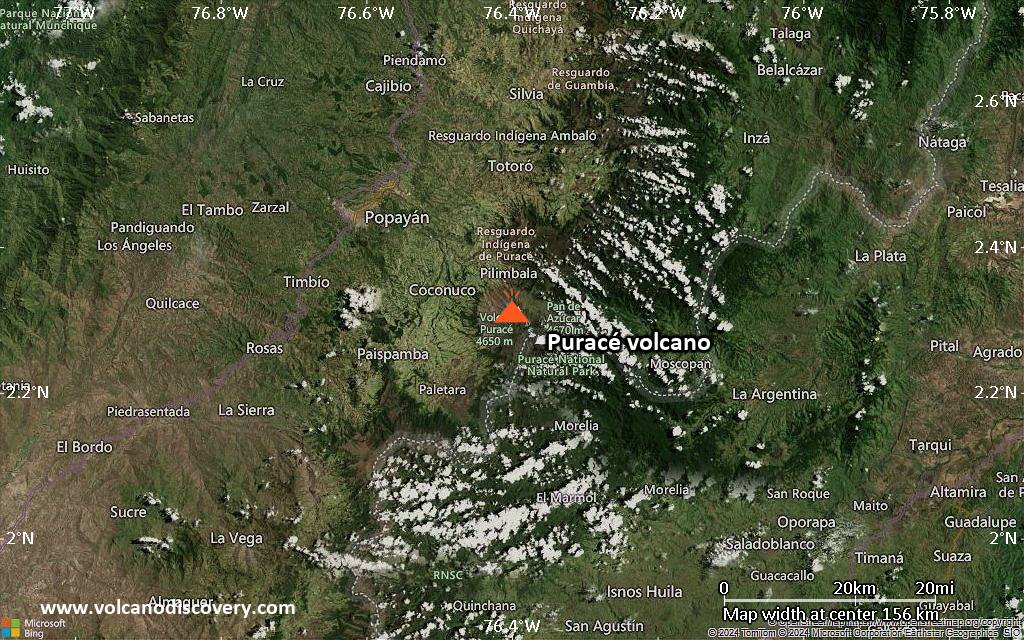
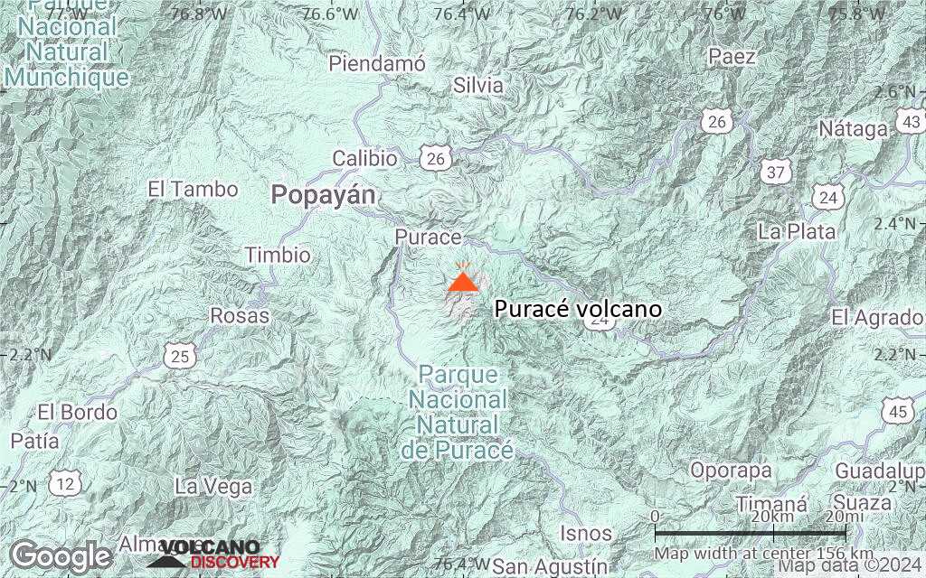
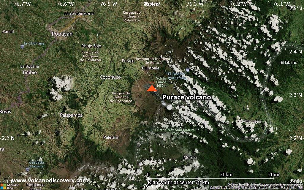
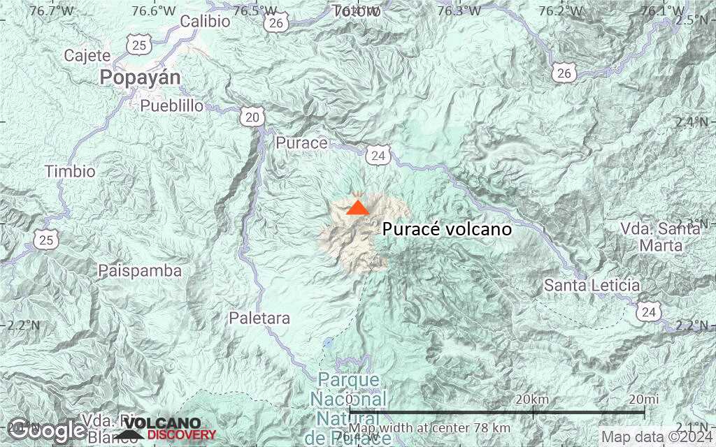
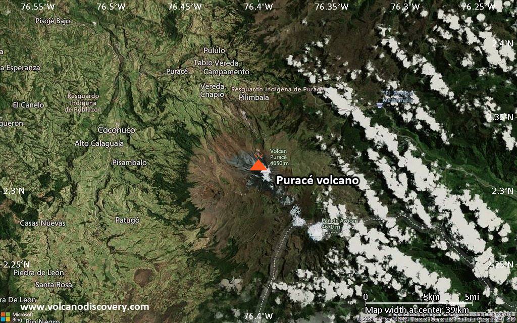
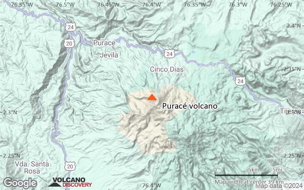
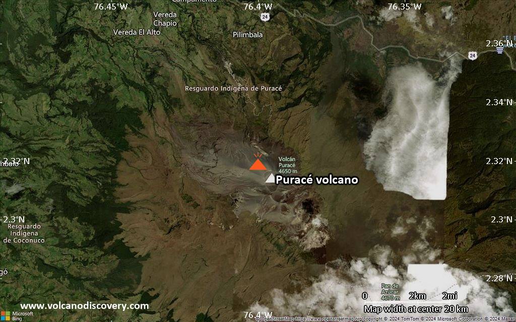
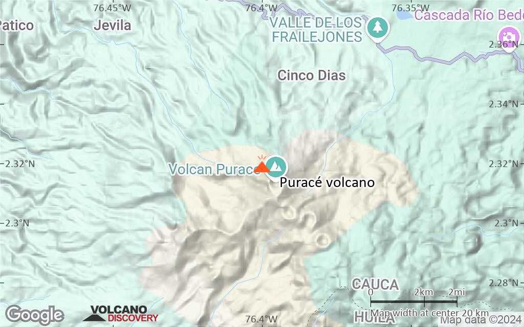
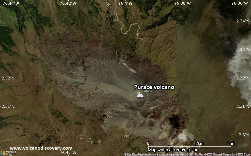
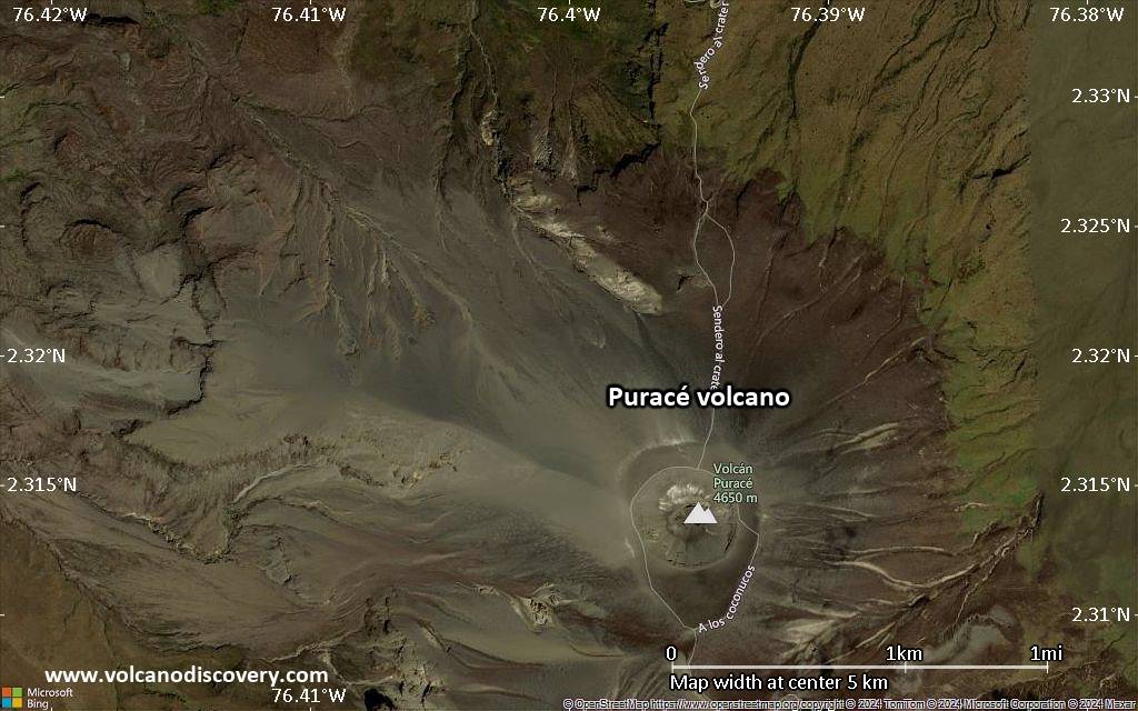
| RSS | EN | DE | EL | ES | FR | IT | RU

Puracé Volcan

Updated: 27 nov.. 2025 04:54 GMT -
stratovolcano
Colombie, 2.32°N / -76.4°W
Summit height: 4650+ m / 15,256 ft
Condition actuelle: en éruption (4 sur 5)
Last update: 27 nov. 2025 (Volcanic Ash Advisory)

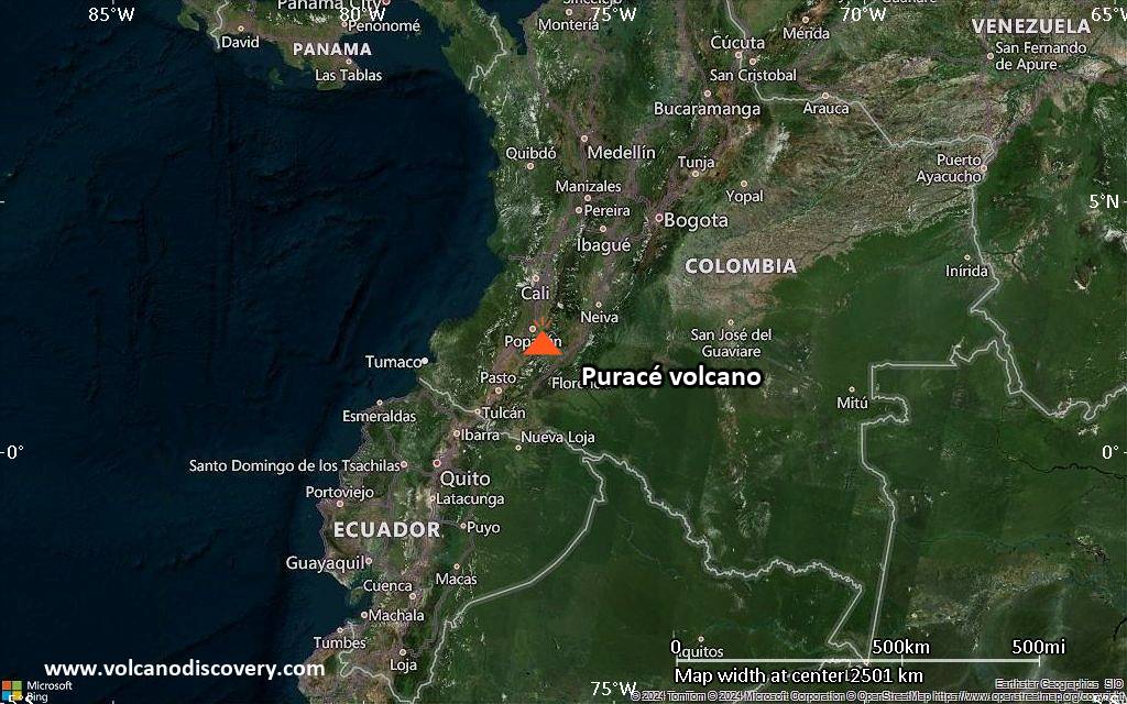
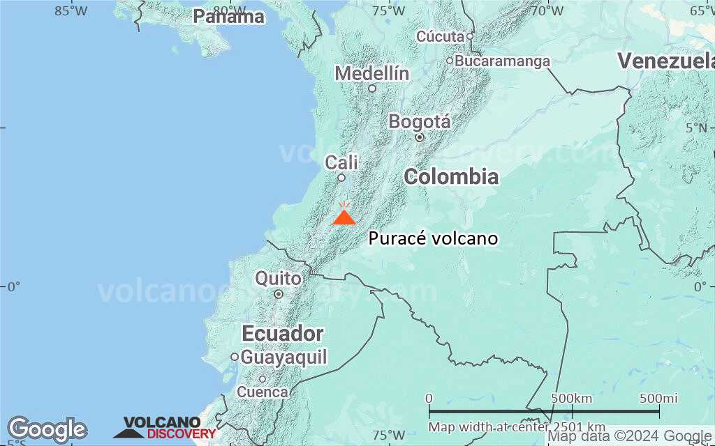
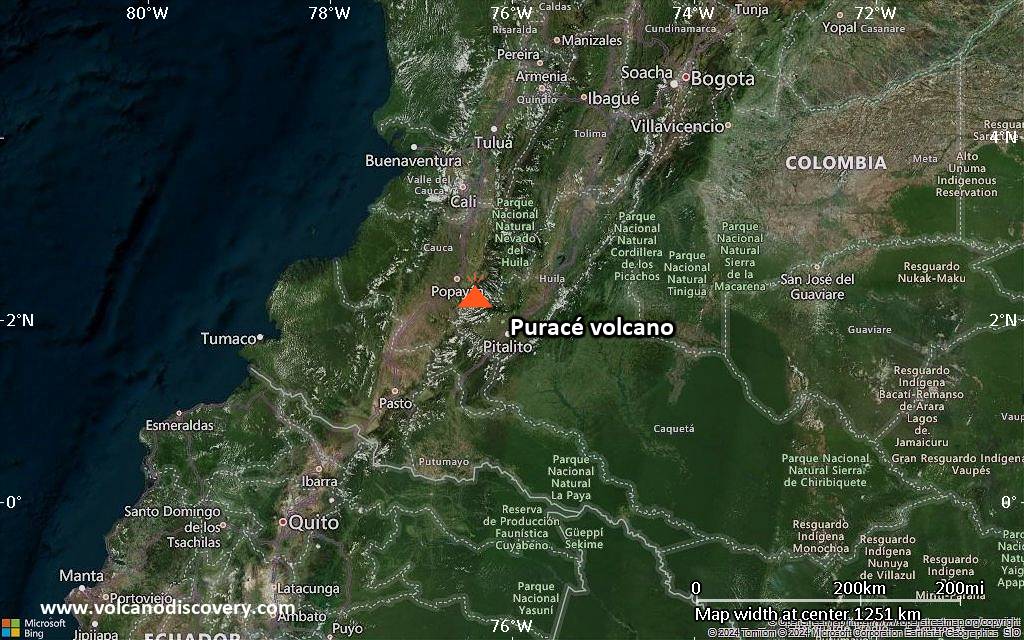
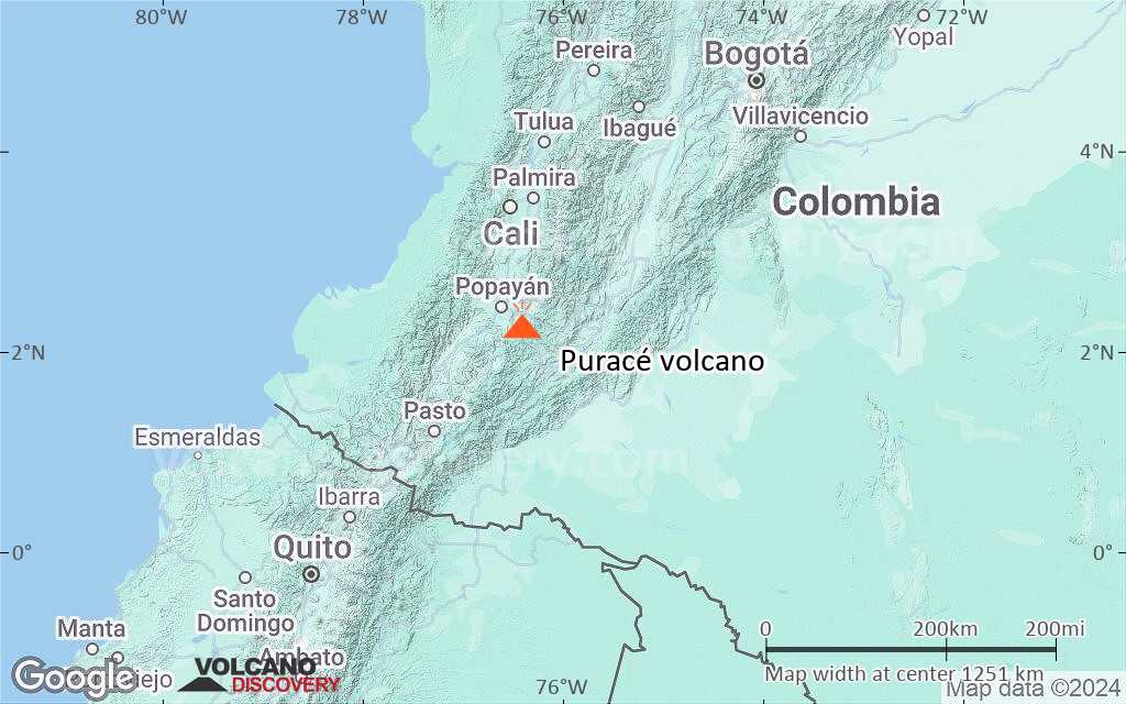
Puracé volcano in SW Colombia, 25 km SE of Popayan, is one of the most active volcanoes in Colombia with frequent explosive eruptions. Its largest historic eruptions occurred in 1849, 1869, and 1885.
The last eruption of Puracé volcano was a small (VEI 2) eruption in 1977. It deposited ash up to 7 km away.
In 1990 new fumaroles and hot springs were observed at the summit and on the flank.

[smaller] [larger]
Style éruptif tipique: explosive
Eruptions du volcan Puracé: 1977, 1957, 1956, 1949, 1947, 1946, 1927, 1926, 1925, 1924, 1906, 1902(?), 1899, 1885, 1881, 1878, 1870, 1869, 1860, 1847-52, 1840, 1835, 1827, 1816, 160 BC ± 50

Derniers séismes proches

Date et l'heureMag / Prof.Distance / Lieux
25 nov. 12:21 (GMT -5)
0.4

4 km
27 km à l'ouest 7.3 km au sud-ouest de Popayán, Cauca, Colombie Info
dimanche, 23 novembre 2025 GMT (1 séisme)
23 nov. 01:35 (GMT -5)
0.2

6 km
19 km au sud-ouest 29 km au sud-est de Popayán, Cauca, Colombie Info

Introduction

Puracé is an andesitic stratovolcano with a 500-m-wide summit crater constructed over a dacitic shield volcano. The volcano is located at the NW end of a volcanic massif opposite the Pan de Azúcar stratovolcano 6 km to the SE.
A NW-SE-trending group of 7 cones and craters, Los Coconucos, lies between the two larger edifices. (Source: USGS / GVP volcano information)

Éruptions volcaniques importantes: volcano Puracé

In the past 10,000 years, Puracé has had at least 27 confirmed volcanic eruptions, out of which 26 are documented by historical records, while the others can be inferred from geological evidence.
The table below lists all known eruptions (date in bold face) of Puracé volcano since around 1800. Updates on the most recent volcanic activity of Puracé can be found on the news page of Puracé volcano.
DateNoteVEIMortsDommages
2023 Nov 16
Obs./docs historiques
1
inconnu
2022 Mar 29Between Puracé and Curiquinga
Obs./docs historiques
1
inconnu
1977 Mar 19 - Mar 28 ?
Obs./docs historiques
2
inconnu
1957 Jul 2 ±182 d.
Obs./docs historiques
2?
inconnu
1956 ou avant
Obs./docs historiques
2
inconnu
1949 Mai 26 - Jun 11
Obs./docs historiques
2
inconnu
1949 Mai 26
(éruption 1949 Mai 26 - Jun 11)
Obs./docs historiques
217
inconnu
Infos
1947 Avr 27
Obs./docs historiques
2
inconnu
1946 Mar - Avr
Obs./docs historiques
2
inconnu
1927
Obs./docs historiques
2
inconnu
1926 Août - Sep
Obs./docs historiques
2
inconnu
1925 Oct 12 - Nov 5
Obs./docs historiques
2
inconnu
1924
Obs./docs historiques
2
inconnu
1906
Obs./docs historiques
2
inconnu
1902 ?
Obs./docs historiques
2
inconnu
1899
Obs./docs historiques
2
inconnu
1885 Mai 25
Obs./docs historiques
3
inconnu
1885 Mai 25
(éruption 1885 Mai 25)
Obs./docs historiques
350-100 (*)
modéré
Infos
1881
Obs./docs historiques
2
inconnu
1878 Août 31
Obs./docs historiques
2
inconnu
1870 Oct
Obs./docs historiques
2
inconnu
1869 Oct 4 - Nov
Obs./docs historiques
3?
inconnu
1860 ±9 y.
Obs./docs historiques
2?
inconnu
1847 Oct 27 - 1852
Obs./docs historiques
3?
inconnu
1840
Obs./docs historiques
2
inconnu
1835 Jan 23
Obs./docs historiques
2
inconnu
1827 Nov 18
Obs./docs historiques
2
inconnu
1816
Obs./docs historiques
?
inconnu
(*) Chiffres estimés
Remark:
Our list of volcanic eruptions closely follows the database of eruptions of the Smithsonian's Global Volcanism Project (GVP), the internationally most recognized data source for volcanic eruptions, but also includes significant eruptive episodes or related volcano events. "Volcanic eruptions" are usually to be understood as sequences of individual eruptive episodes that can follow each other, or even overlap (if several vents are involved), and can last many years, decades or even longer. For example, the current activity of Stromboli volcano is understood as a single eruption that has been ongoing since 1934.
Sources: NOAA National Centers for Environmental Information (NCEI), Global Significant Volcanic Eruptions Database. doi:10.7289/V5TD9V7K | Global Volcanism Project / Smithsonian Institution

Puracé Volcano FAQ

+When was the last eruption of Puracé volcano?

+How often does Puracé volcano erupt?

+How active is Puracé volcano at present?

+When was the largest eruption of Puracé volcano?

Dernières images satellite

Purac%C3%A9 image satellite sat1Purac%C3%A9 image satellite sat2

Puracé Volcan Cartes

Below is a selection of maps showing the location and surroundings of the volcano at various resolutions based on aerial-imagery / terrain maps. Feel free to use them for non-commercial purposes on your blog or website as long as you credit them with a link back to this page (click to copy it).
Satellite/aerial-type map of Puracé volcano (world scale)
Terrain-type map of Puracé volcano (world scale)
Satellite/aerial-type map of Puracé volcano (region scale large)
Terrain-type map of Puracé volcano (region scale large)
Satellite/aerial-type map of Puracé volcano (region scale medium)
Terrain-type map of Puracé volcano (region scale medium)
Satellite/aerial-type map of Puracé volcano (region scale small)
Terrain-type map of Puracé volcano (region scale small)
Satellite/aerial-type map of Puracé volcano (local scale large)
Terrain-type map of Puracé volcano (local scale large)
Satellite/aerial-type map of Puracé volcano (local scale medium)
Terrain-type map of Puracé volcano (local scale medium)
Satellite/aerial-type map of Puracé volcano (local scale small)
Terrain-type map of Puracé volcano (local scale small)
Satellite/aerial-type map of Puracé volcano (scale of 10s of km)
Terrain-type map of Puracé volcano (scale of 10s of km)
Satellite/aerial-type map of Puracé volcano (scale of 20-40 km)
Terrain-type map of Puracé volcano (scale of 20-40 km)
Satellite/aerial-type map of Puracé volcano (scale of approx. 10-20 km)
Terrain-type map of Puracé volcano (scale of approx. 10-20 km)
Satellite/aerial-type map of Puracé volcano (scale of 5-10 km)
Satellite/aerial-type map of Puracé volcano (scale of few kilometers)
Volcanoes & Earthquakes - new app for Android
Départs garantis:
2-10 mai 2026: Montagnes de Feu - du Stromboli à l'Etna - Eoliennes + Etna
= Places libres   = Départ garanti   = Quelques places disponibles   = Groupe fermé

Sur cette page:

Try our free app!
Volcanoes & Earthquakes - new app for Android
Android | iOS version

More on VolcanoDiscovery

Why is there advertising on this site?

Ensemble, faisons grandir VolcanoDiscovery !

Chaque jour, nous travaillons avec passion pour vous apporter les dernières données sur les volcans et les séismes du monde entier, en temps réel. Mais maintenir notre site web et nos applications gratuites demande beaucoup de temps, d’énergie et de ressources.
Avec votre soutien, nous pouvons renforcer nos outils, élargir nos capacités matérielles et logicielles, et aider notre équipe éditoriale à continuer de vous informer, partout et à tout moment. Notre ambition : offrir un service ininterrompu dès qu’un tremblement de terre ou une éruption volcanique se produit. Vos dons rendent cela possible — chaque contribution compte ! Si nos informations vous sont utiles et que vous souhaitez participer à cette mission, faites un geste aujourd’hui :

Faire un don via PayPal :

Prochaines améliorations prévues :

Grâce à vos dons précédents, nous avons déjà ajouté :
Téléchargez et mettez à jour l’application « Volcans & Séismes » pour recevoir parmi les alertes sismiques et volcaniques les plus rapides en ligne :
Android | iOS
Merci de faire partie de cette aventure !
Copyright: VolcanoDiscovery ou autres sources indiquées.
Utilisation des documents: Les textes, les images et les vidéos de ce site internet sont protégées par copyright. Toute reproduction et tout usage sans accord préalable ne sont pas autorisés. Si vous désirez acquérir pour certains documents (photos, vidéos, textes ou autres) le droit de reproduction, d'édition et, plus généralement, de toute utilisation destinée à un usage public, qu'elle soit commerciale ou pas, vous êtes priés de nous contacter.
Volcanoes & Earthquakes
VolcanoDiscovery Home
Volcans | Séismes | Photos | Actualités | | Shop | App
Adventure & Study Travel
Tours to Volcanoes and Volcanic Areas: walking tours, photo tours, study tours
Voyages |
Get our newsletter!
Company info
Contact | Mentions légales | Terms & conditions
Follow us
Follow us on facebook Follow us on Instagram Follow us on Bluesky Follow us on Twitter Visit our Youtube channel
EN | DE | EL | ES | FR | IT | RU
VolcanoDiscovery GmbH, Germany, Reg. nr.: HRB 103744, EU Tax Id: DE 297 465 123 owned and created by
Dr. Tom Pfeiffer, volcanologist, volcano photographer, tour organizer member of
IAVCEI
IAVCEI
Vulkanologische Gesellschaft
Volcanological Society
Ecotourism Greece
Ecotourism Greece
RUV insurance
Insured by R+V
VolcanoDiscovery © 2004- All Rights Reserved | Privacy - Changer Préférences