Taranaki Volcano
Updated: 5 mai 2024 10:54 GMT -
stratovolcano 2518 m / 8,261 ft
North Island, New Zealand, -39.3°S / 174.07°E
Condition actuelle: normal / en sommeil (1 sur 5)
North Island, New Zealand, -39.3°S / 174.07°E
Condition actuelle: normal / en sommeil (1 sur 5)
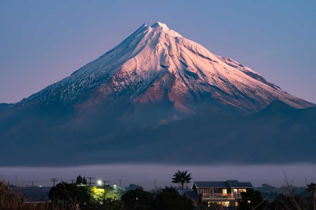
Snow-covered Taranaki volcano (image: Bastian Steinke)
Taranaki (Egmont) volcano is an isolated steep andesitic stratovolcano located in the SW part of the North Island of New Zealand. It is the second highest peak on the North Island and one of the most active volcanoes in New Zealand and has last erupted in 1854.
[smaller] [larger]
Eruptions du volcan Taranaki: 1854, 1755 (?), 1655, 1500, 1480, 1400, 550 (?), 520, 40 BC, 1160 BC, 1250 BC, 1330 BC, 1350 BC, 2310 BC, 2450 BC, 2650 BC, 2750 BC, 3050 BC, 5020 BC, 6050 BC
Derniers séismes proches
| Heure | Mag. / Profondeur | Distance / Lieu | |||
| 5 mai 21:52 (Auckland) | 1.6 124 km | 26 km à l'est | Info | ||
| lundi, 29 avril 2024 GMT (1 séisme) | |||||
| 29 avril 21:39 (Auckland) | 1.8 12 km | 17 km à l'ouest | Info | ||
| samedi, 27 avril 2024 GMT (1 séisme) | |||||
| 27 avril 17:53 (Auckland) | 2.3 158 km | 20 km au sud | Info | ||
| mercredi, 24 avril 2024 GMT (1 séisme) | |||||
| 24 avril 14:07 (Auckland) | 2.5 123 km | 28 km à l'est | Info | ||
Introduction
Taranaki is surrounded by a ring plain of debris-avalanche and lahar deposits that and extend to the coast. The isolated Taranaki volcanic center is located on the west coast of central North Island at the southern end of a volcanic arc extending NW along the Northland Peninsula.Taranaki is the youngest and SE-most of a group of three volcanoes beginning with the Pleistocene Kaitoke Range. Fanthams Peak breaks the symmetry of Taranaki on its south flank, and four lava domes are located on the lower north and south flanks. Multiple episodes of edifice collapse have occurred in the past 50,000 years. Explosive activity, sometimes accompanied by pyroclastic flows and lava dome growth, has occurred frequently throughout the Holocene.
(from: Smithsonian / GVP volcano information)
Taranaki Volcano Photos
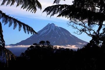
Volcan Taranaki, Nouvelle-Zélande (Photo: Richard Arculus)
Eruptions du volcan Taranaki
1655 AD Burrel Lapilli eruption
The largest known eruption of Taranaki in recent centuries was a major explosive (subplinian VEI 4) eruption around 1655. Following the extrusion of a small lava dome, the eruption culminated in an explosive phase that produced the so-called Burrell Lapilli covering over 200 square km of the North Island in pumice. The eruption is an example for the transition from effusive (lava dome formation) to explosive eruption style:
The largest known eruption of Taranaki in recent centuries was a major explosive (subplinian VEI 4) eruption around 1655. Following the extrusion of a small lava dome, the eruption culminated in an explosive phase that produced the so-called Burrell Lapilli covering over 200 square km of the North Island in pumice. The eruption is an example for the transition from effusive (lava dome formation) to explosive eruption style:
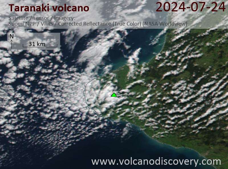
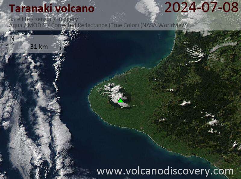
Latest satellite images