


Lipari Volcano
Updated: Nov 25, 2025 02:46 GMT -
stratovolcano
Eolian Islands, Italy, 38.51°N / 14.95°E 
Summit height: 602 m
Current status: normal or dormant (1 out of 5)
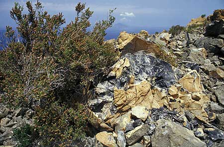
Obsidian block from the Rocce Rosse lava flow on Lipari Island
Lipari, the ancient Meligunis, is the largest island of the Eolian Archipelago and its economic and cultural center.
[smaller] [larger]
Lipari volcano eruptions: 729 AD (?, alternative date: 580 AD) at Monte Pilato, formation of "Rocce Rosse" obsidian flow
Latest nearby earthquakes
| Date and Time | Mag / Depth | Distance / Location | |||
|---|---|---|---|---|---|
| Nov 21, 04:06 am (Universal Time) | 2.0 159 km | 9.5 km (5.9 mi) to the SE | Info | ||
| Sunday, November 16, 2025 GMT (1 quake) | |||||
| Nov 16, 12:01 pm (Universal Time) | 0.1 0 km | 11 km (7 mi) to the S | Info | ||
| Friday, November 14, 2025 GMT (1 quake) | |||||
| Nov 14, 09:54 pm (Universal Time) | 2.2 116 km | 23 km (14 mi) to the SE | Info | ||
Background
It is located immediately north of Vulcano Island. The island contains numerous small stratovolcanoes, craters, and lava domes on a basement of submarine volcanic deposits.The latest eruption in historic times, probably in 729 AD, at Monte Pilatus at the NE tip of the island, formed a spectacular obsidian lava flow. Since Ancient times, the island has been known for its rich deposit of pumice (the largest deposit in the world!) and obsidian, - a highly valued raw material to manufacture tools such as knives and arrowheads in the Stone and Bronze Age. Obsidian from Lipari has been found throughout the Mediterranean, proving that a vast trade network existed already during the 2nd millennium BC.
Lipari Volcano Photos

Panorama view over Vulcano and Vulcanello in the foreground, Salina, Lipari, Panarea (near the rainbow) and in the distant background, Stromboli. (Photo: Tom Pfeiffer)

Old pumice quarries at Monte Pilato on Lipari (Photo: Tom Pfeiffer)

Pumice pebbles at the beach beneath the old, rusted pier of the pumice quarry on Lipari (Photo: Tom Pfeiffer)

The pumice quarries of Lipari and the obsidian lava flow "Rocce Rosse" (Photo: Tom Pfeiffer)
Significant volcanic eruptions: Lipari volcano
No historic eruptions are known from Lipari volcano, but evidence from at least 3 eruptions during the past 10,000 years can be found in the geological record.
The table below lists all known eruptions (date in bold face) of Lipari volcano in historic times and during the past 10,000 years. Updates on the most recent volcanic activity of Lipari can be found on the news page of Lipari volcano.
| Date | Note | VEI | Deaths | Damage | |
|---|---|---|---|---|---|
| Pelato (Forgia Vecchia, Rocche Rossi) | ? | ||||
| Monte Pelato | ? | ||||
| Gabellotto-Fiumebianco | ? | ||||
Remark:
Our list of volcanic eruptions closely follows the database of eruptions of the Smithsonian's Global Volcanism Project (GVP), the internationally most recognized data source for volcanic eruptions, but also includes significant eruptive episodes or related volcano events. "Volcanic eruptions" are usually to be understood as sequences of individual eruptive episodes that can follow each other, or even overlap (if several vents are involved), and can last many years, decades or even longer. For example, the current activity of Stromboli volcano is understood as a single eruption that has been ongoing since 1934.
Sources: NOAA National Centers for Environmental Information (NCEI), Global Significant Volcanic Eruptions Database. doi:10.7289/V5TD9V7K | Global Volcanism Project / Smithsonian Institution
Lipari Volcano FAQ
+When was the last eruption of Lipari volcano?
The last confirmed eruption of Lipari occurred around 1230 AD.
Latest satellite images
Lipari Volcano Tours
Naples, Eolian Islands, Etna (Italy)
Volcanoes of Italy - the Grand Tour
15-day study & walking tour to Italy's volcanoes from Vesuvius to Etna
15 days (14 nights) - Easy to Moderate
Price 4150 €
Price 4150 €
2-16 Oct 2026
Sicily and Eolian Islands (Italy)
From Stromboli to Etna
9-day walking & study tour to Stromboli, Lipari, Vulcano and Etna with our expert volcanologist
9 days / 8 nights - Easy to Moderate
Price 2950 €
Price 2950 €
2-10 May 2026
3-11 Oct 2026
1-9 May 2027
Lipari Volcano Maps
Below is a selection of maps showing the location and surroundings of the volcano at various resolutions based on aerial-imagery / terrain maps. Feel free to use them for non-commercial purposes on your blog or website as long as you credit them with a link back to this page (click to copy it).
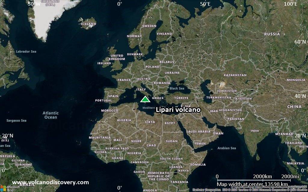
Satellite/aerial-type map of Lipari volcano (world scale)
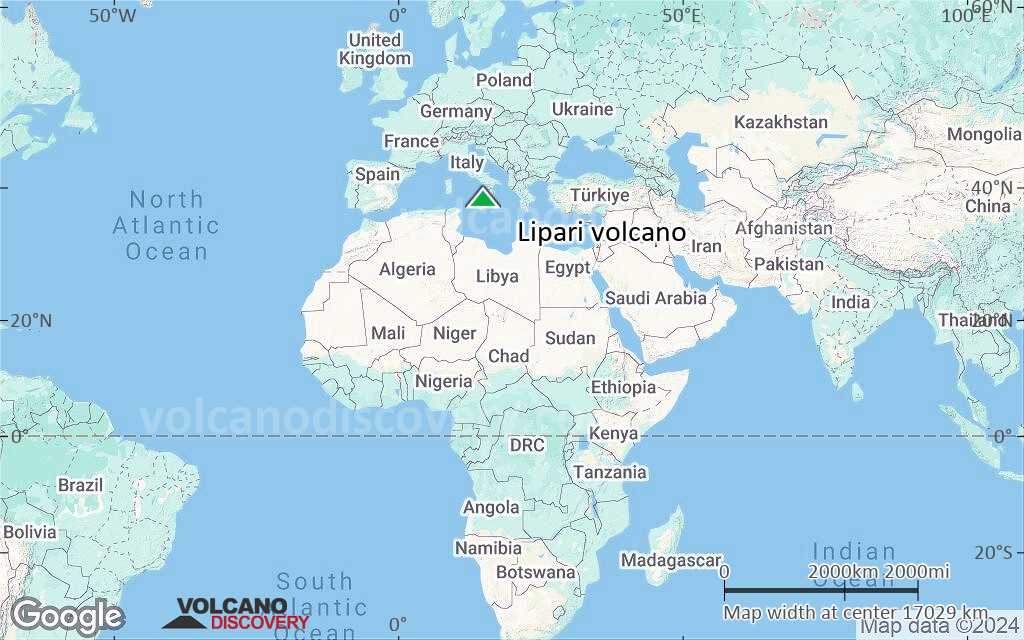
Terrain-type map of Lipari volcano (world scale)
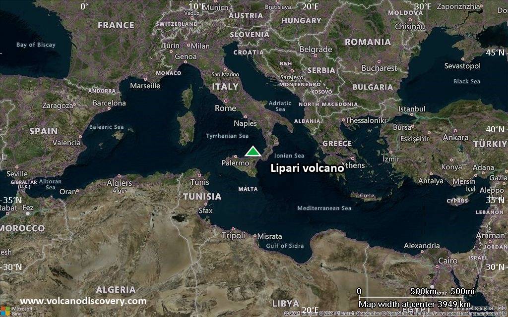
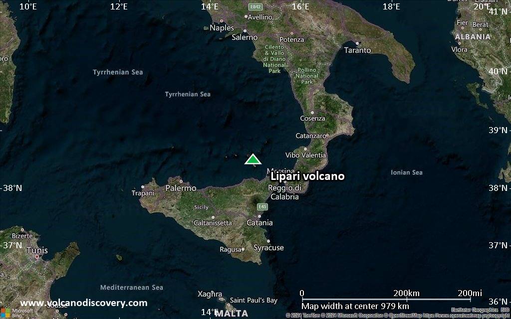
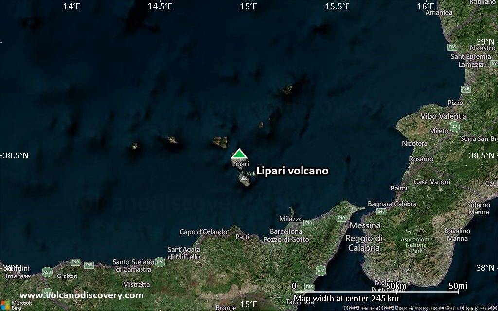
Satellite/aerial-type map of Lipari volcano (region scale large)
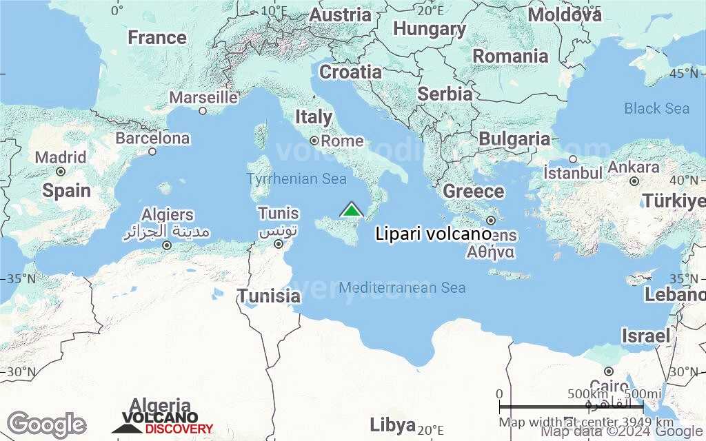
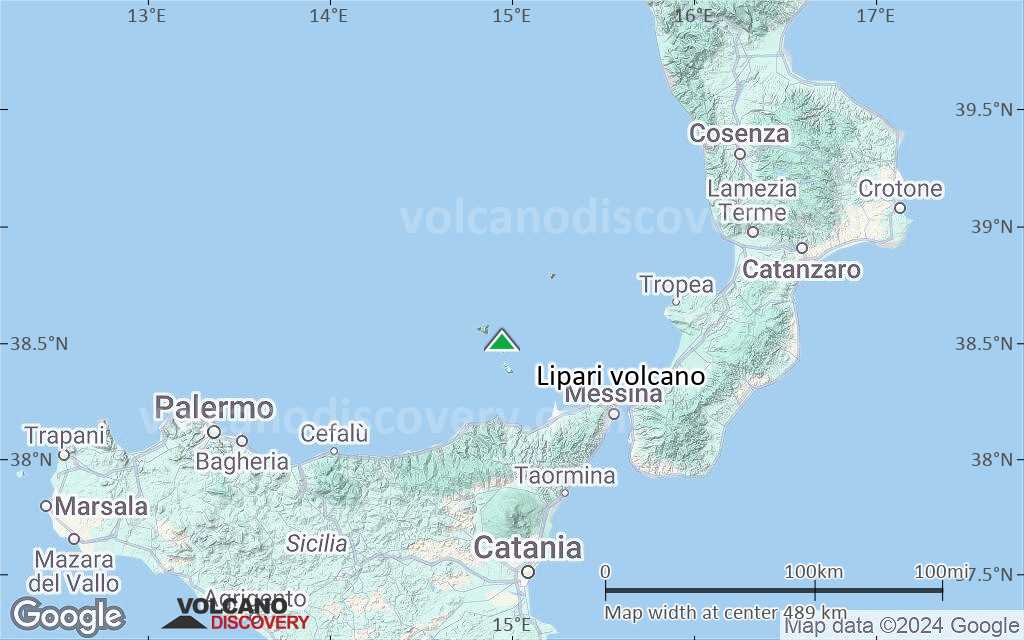
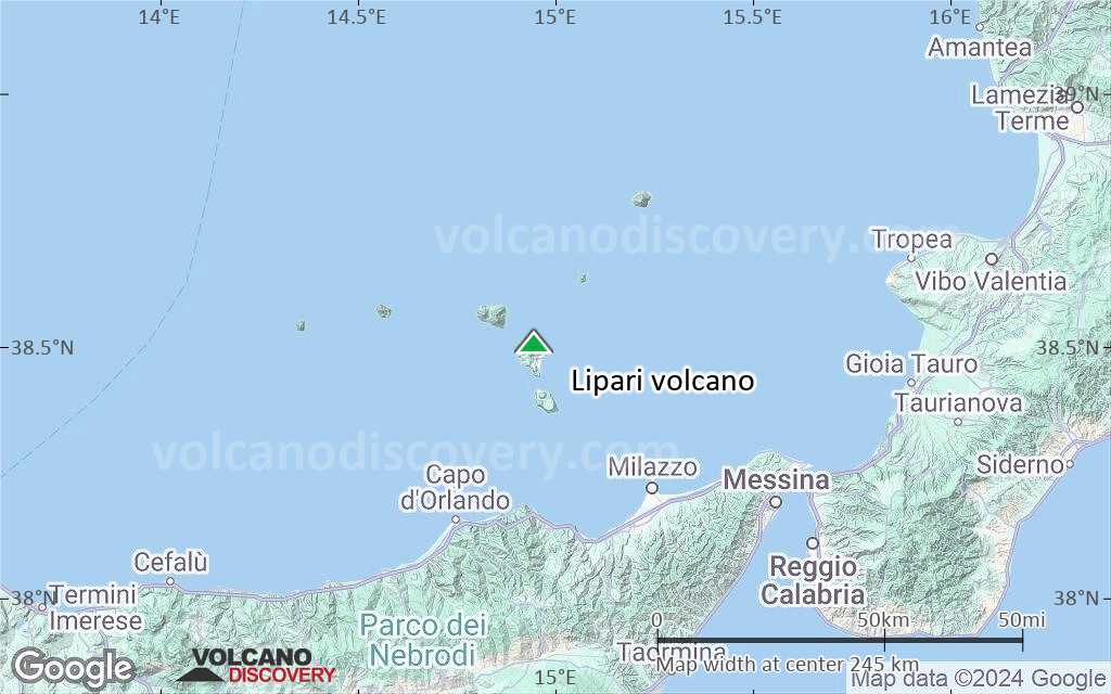
Terrain-type map of Lipari volcano (region scale large)
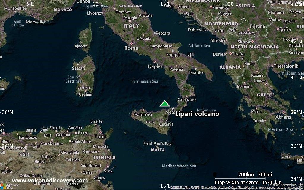
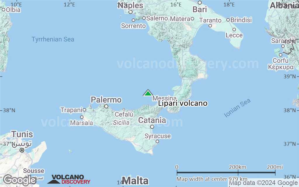
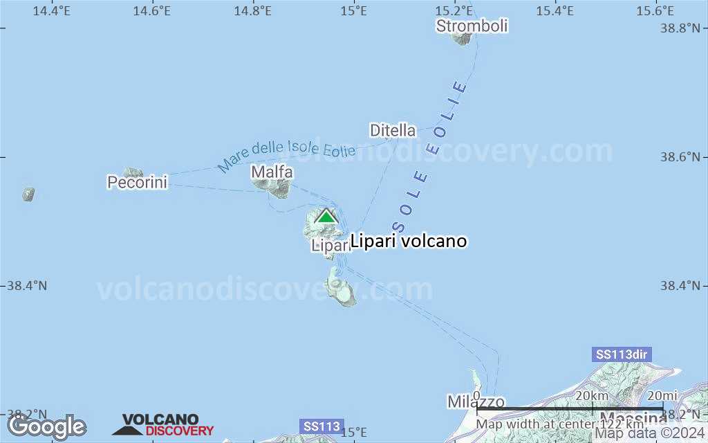
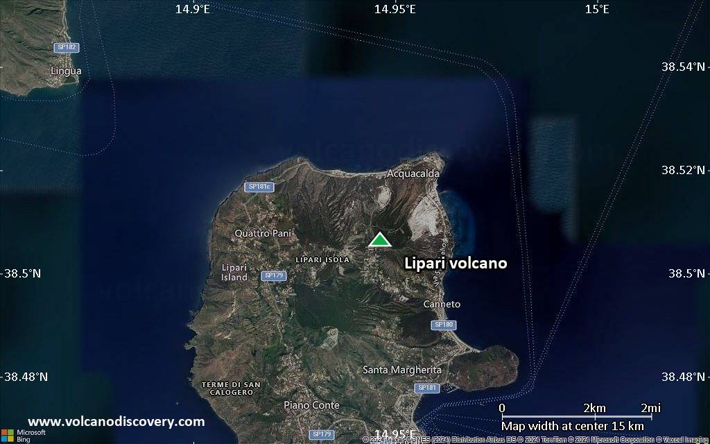
Satellite/aerial-type map of Lipari volcano (region scale medium)
Terrain-type map of Lipari volcano (region scale medium)
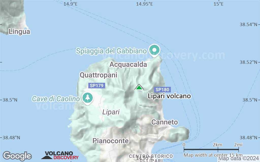
Satellite/aerial-type map of Lipari volcano (region scale small)
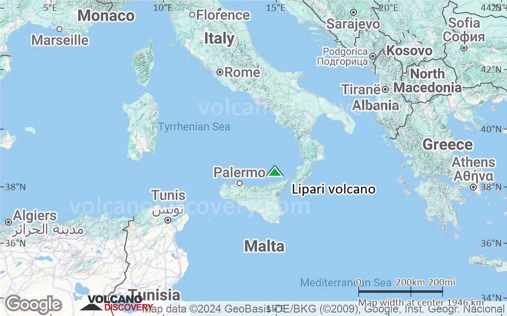
Terrain-type map of Lipari volcano (region scale small)
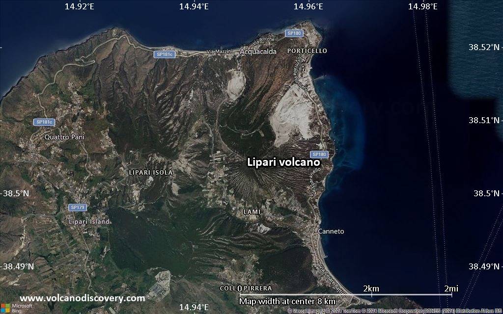
Satellite/aerial-type map of Lipari volcano (local scale large)
Terrain-type map of Lipari volcano (local scale large)
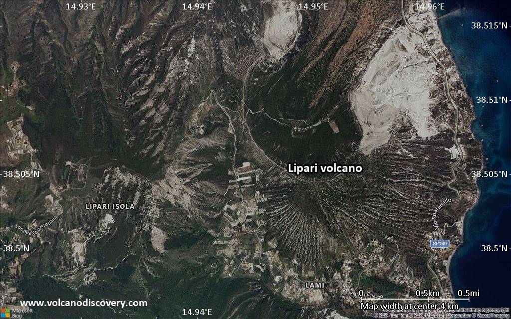
Satellite/aerial-type map of Lipari volcano (local scale medium)
Terrain-type map of Lipari volcano (local scale medium)

Satellite/aerial-type map of Lipari volcano (local scale small)
Terrain-type map of Lipari volcano (local scale small)
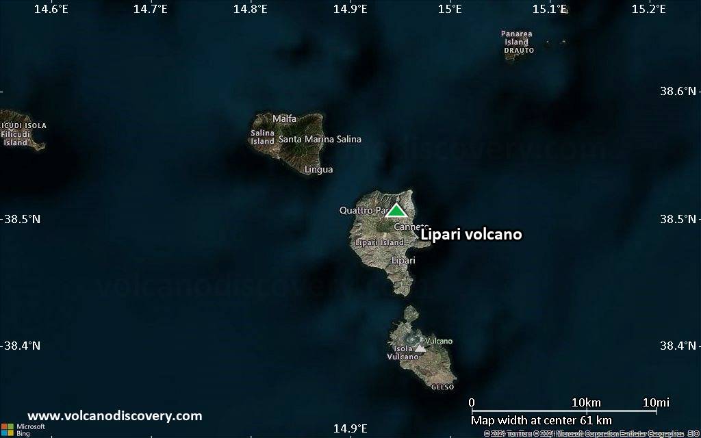
Satellite/aerial-type map of Lipari volcano (scale of 10s of km)
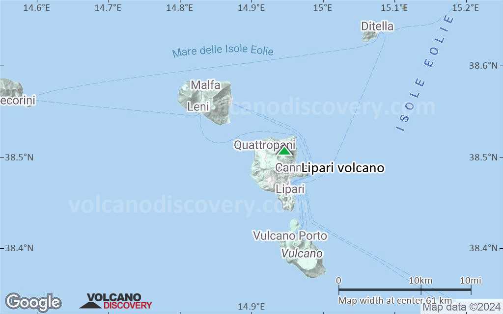
Terrain-type map of Lipari volcano (scale of 10s of km)
Satellite/aerial-type map of Lipari volcano (scale of 20-40 km)
Terrain-type map of Lipari volcano (scale of 20-40 km)
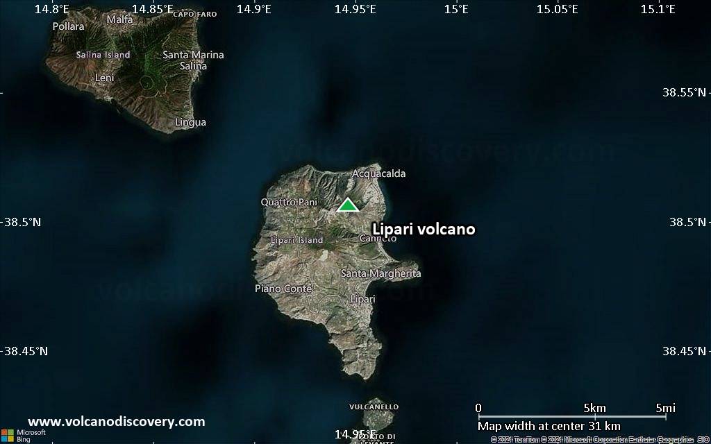
Satellite/aerial-type map of Lipari volcano (scale of approx. 10-20 km)
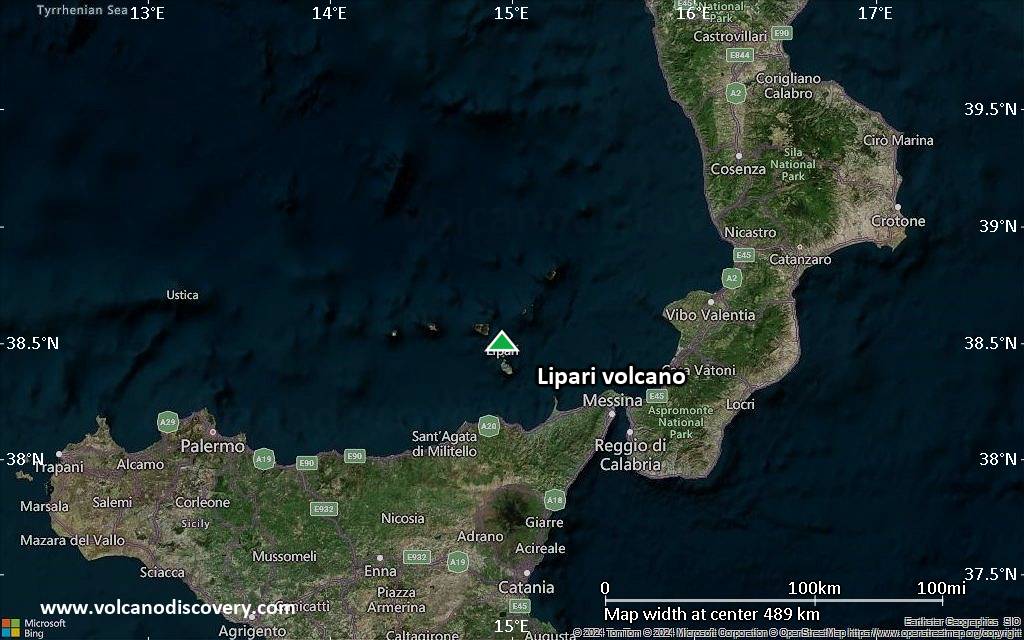
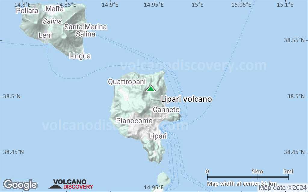
Terrain-type map of Lipari volcano (scale of approx. 10-20 km)
Satellite/aerial-type map of Lipari volcano (scale of 5-10 km)
Satellite/aerial-type map of Lipari volcano (scale of few kilometers)


