


Mageik Volcano
Updated: Oct 19, 2025 08:20 GMT -
Stratovolcano
United States, Alaska Peninsula, 58.2°N / -155.25°W 
Summit height: 2165? m / 7,103 ft
Current status: normal or dormant (1 out of 5)
[smaller] [larger]
Mageik volcano eruptions: 500 BC ± 50 years
Latest nearby earthquakes
| Date and Time | Mag / Depth | Distance / Location | |||
|---|---|---|---|---|---|
| Oct 17, 03:53 pm (Universal Time) | 1.2 3.1 km | 19 km (12 mi) to the NE | Info | ||
| Oct 17, 03:01 pm (Universal Time) | 1.0 3.1 km | 20 km (12 mi) to the NE | Info | ||
| Oct 17, 01:52 pm (Universal Time) | 1.0 170 km | 29 km (18 mi) to the SW | Info | ||
| Oct 17, 09:27 am (Universal Time) | 0.4 4.9 km | 20 km (12 mi) to the NE | Info | ||
| Thursday, October 16, 2025 GMT (3 quakes) | |||||
| Oct 16, 08:59 pm (Universal Time) | 0.6 1.1 km | 7.4 km (4.6 mi) to the SW | Info | ||
| Oct 16, 12:59 pm (GMT -8) | 0.4 1.6 km | 5.6 km (3.5 mi) to the SW | Info | ||
| Oct 16, 04:30 pm (Universal Time) | 0.9 7 km | 28 km (18 mi) to the E | Info | ||
| Wednesday, October 8, 2025 GMT (1 quake) | |||||
| Oct 8, 05:16 am (Anchorage) | 0.9 1 km | 6 km (3.7 mi) to the SW | Info | ||
| Sunday, October 5, 2025 GMT (1 quake) | |||||
| Oct 5, 07:02 pm (Universal Time) | 1.1 132 km | 24 km (15 mi) to the SW | Info | ||
Background
Mount Mageik is a broad ice-capped stratovolcano at the head of the Valley of Ten Thousand Smokes across Katmai Pass from Trident volcano. Four small overlapping peaks form the broad summit, three of which lie along a NE-SW trend south of the northern peak. The central summit consists of a lava dome, while the east, SW, and north volcanoes are capped by fragmental cones with ice-filled craters. The three westernmost summits are glaciated and of primarily Pleistocene age, but the East Mageik summit cone was the source of at least six Holocene eruptive episodes and fed Holocene lava flows that descended toward Katmai Pass and blanket the NE-to-SE flanks of the volcano. A young, 300-m-wide explosion crater between the east and central summits that formed about 2400-2500 years ago contains a shallow, acidic lake and many superheated fumarole jets. Three Holocene debris avalanches from south-flank failures descended into the Martin Creek drainages, one perhaps reaching the coast. Reports of historical eruptions from Mageik were questioned by Miller et al. (1998) and Hildreth and Fierstein (2000).---
Smithsonian / GVP volcano information
Significant volcanic eruptions: Mageik volcano
No historic eruptions are known from Mageik volcano, but evidence from at least 8 eruptions during the past 10,000 years can be found in the geological record.
Additionally, there are 4 uncertain or discredited eruptions from Mageik volcano.
Additionally, there are 4 uncertain or discredited eruptions from Mageik volcano.
The table below lists all known eruptions (date in bold face) of Mageik volcano in historic times and during the past 10,000 years. Updates on the most recent volcanic activity of Mageik can be found on the news page of Mageik volcano.
| Date | Note | VEI | Deaths | Damage | |
|---|---|---|---|---|---|
?? | Uncertain Eruption | 2? | |||
?? | Uncertain Eruption | 2? | |||
?? | Uncertain Eruption | 2 | |||
?? | Uncertain Eruption | 2 | |||
| Between East and Central Mageik | ? | ||||
| East Mageik | ? | ||||
| East Mageik | ? | ||||
| East Mageik | ? | ||||
| East Mageik | ? | ||||
| East Mageik | ? | ||||
| East Mageik | ? | ||||
| East Mageik | ? | ||||
Remark:
Our list of volcanic eruptions closely follows the database of eruptions of the Smithsonian's Global Volcanism Project (GVP), the internationally most recognized data source for volcanic eruptions, but also includes significant eruptive episodes or related volcano events. "Volcanic eruptions" are usually to be understood as sequences of individual eruptive episodes that can follow each other, or even overlap (if several vents are involved), and can last many years, decades or even longer. For example, the current activity of Stromboli volcano is understood as a single eruption that has been ongoing since 1934.
Sources: NOAA National Centers for Environmental Information (NCEI), Global Significant Volcanic Eruptions Database. doi:10.7289/V5TD9V7K | Global Volcanism Project / Smithsonian Institution
Mageik Volcano FAQ
+When was the last eruption of Mageik volcano?
The last confirmed eruption of Mageik occurred around 500 BC.
Latest satellite images

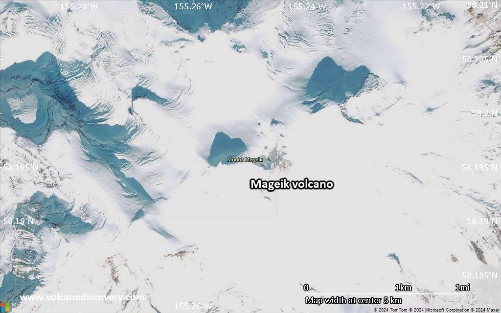
Mageik Volcano Maps
Below is a selection of maps showing the location and surroundings of the volcano at various resolutions based on aerial-imagery / terrain maps. Feel free to use them for non-commercial purposes on your blog or website as long as you credit them with a link back to this page (click to copy it).

Satellite/aerial-type map of Mageik volcano (world scale)

Terrain-type map of Mageik volcano (world scale)

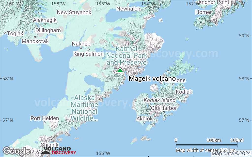
Satellite/aerial-type map of Mageik volcano (region scale large)

Terrain-type map of Mageik volcano (region scale large)

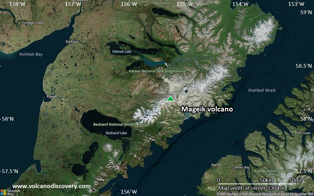
Satellite/aerial-type map of Mageik volcano (region scale medium)

Terrain-type map of Mageik volcano (region scale medium)

Satellite/aerial-type map of Mageik volcano (region scale small)
Terrain-type map of Mageik volcano (region scale small)
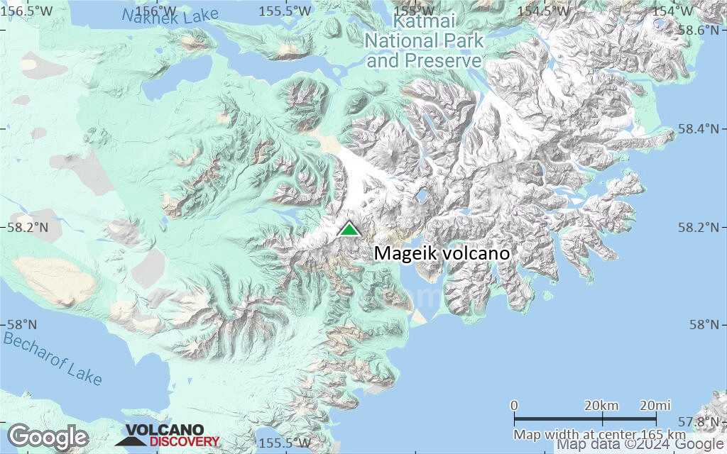
Satellite/aerial-type map of Mageik volcano (local scale large)

Terrain-type map of Mageik volcano (local scale large)

Satellite/aerial-type map of Mageik volcano (local scale medium)
Terrain-type map of Mageik volcano (local scale medium)

Satellite/aerial-type map of Mageik volcano (local scale small)

Terrain-type map of Mageik volcano (local scale small)

Satellite/aerial-type map of Mageik volcano (scale of 10s of km)

Terrain-type map of Mageik volcano (scale of 10s of km)

Satellite/aerial-type map of Mageik volcano (scale of 20-40 km)

Terrain-type map of Mageik volcano (scale of 20-40 km)

Satellite/aerial-type map of Mageik volcano (scale of approx. 10-20 km)

Terrain-type map of Mageik volcano (scale of approx. 10-20 km)
Satellite/aerial-type map of Mageik volcano (scale of 5-10 km)

Satellite/aerial-type map of Mageik volcano (scale of few kilometers)


