


Melimoyu Volcano
Updated: Sep 30, 2025 11:03 GMT -
stratovolcano
Southern Chile and Argentina (South America), -44.08°S / -72.88°W 
Summit height: 2400 m / 7,874 ft
Current status: normal or dormant (1 out of 5)
Last update: 14 Dec 2021 (Smithsonian / USGS Weekly Volcanic Activity Report)
Melimoyu is an active stratovolcano in southern Chile, 40 km NW of the town of Puyuhuapi and 135 km south of Chaiten volcano.
The volcano has an 8 km wide ice-filled caldera, which is largely filled by a younger edifice and is drained by a glacier flowing through a gap in the NE caldera rim. The basaltic-andesite volcano is elongated 10 km in an E-W direction and has several cinder cones and a 1 km wide summit crater.
Two large explosive eruptions have been identified at Melimoyu volcano from tephra layers (MEL-1 and MEL-2) and been dated to ca. 1800 and 2800 years ago.
[smaller] [larger]
Melimoyu volcano eruptions: 200 AD ± 75 years, 820 BC ± 100 years (radiocarbon dated)
Latest nearby earthquakes
| Date and Time | Mag / Depth | Distance / Location | |||
|---|---|---|---|---|---|
Significant volcanic eruptions: Melimoyu volcano
No historic eruptions are known from Melimoyu volcano, but evidence from at least 2 eruptions during the past 10,000 years can be found in the geological record.
The table below lists all known eruptions (date in bold face) of Melimoyu volcano in historic times and during the past 10,000 years. Updates on the most recent volcanic activity of Melimoyu can be found on the news page of Melimoyu volcano.
| Date | Note | VEI | Deaths | Damage | |
|---|---|---|---|---|---|
| ? | |||||
| ? | |||||
Remark:
Our list of volcanic eruptions closely follows the database of eruptions of the Smithsonian's Global Volcanism Project (GVP), the internationally most recognized data source for volcanic eruptions, but also includes significant eruptive episodes or related volcano events. "Volcanic eruptions" are usually to be understood as sequences of individual eruptive episodes that can follow each other, or even overlap (if several vents are involved), and can last many years, decades or even longer. For example, the current activity of Stromboli volcano is understood as a single eruption that has been ongoing since 1934.
Sources: NOAA National Centers for Environmental Information (NCEI), Global Significant Volcanic Eruptions Database. doi:10.7289/V5TD9V7K | Global Volcanism Project / Smithsonian Institution
Eruptions of Melimoyu volcano
2010 Seismic unrest
A weak seismic swarm occurred at Melimoyu volcano in May and June 2010 and its alert level was raised to 2 (Green) on 8 June, 2010.
Increased seismic activity was detected during May. 9 long-period earthquakes were measured on 27 May. The next day 6 long-period earthquakes preceded 2 separate seismic swarms, located 2-12 km and 7-14 km south beneath the summit. All earthquakes were M 2.5 or less.
(GVP monthly reports)
Melimoyu Volcano FAQ
+When was the last eruption of Melimoyu volcano?
The last confirmed eruption of Melimoyu occurred around 200 AD.
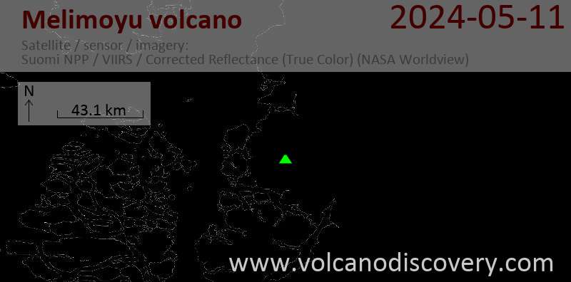
Latest satellite images

Melimoyu Volcano Maps
Below is a selection of maps showing the location and surroundings of the volcano at various resolutions based on aerial-imagery / terrain maps. Feel free to use them for non-commercial purposes on your blog or website as long as you credit them with a link back to this page (click to copy it).

Satellite/aerial-type map of Melimoyu volcano (world scale)

Terrain-type map of Melimoyu volcano (world scale)

Satellite/aerial-type map of Melimoyu volcano (region scale large)

Terrain-type map of Melimoyu volcano (region scale large)

Satellite/aerial-type map of Melimoyu volcano (region scale medium)

Terrain-type map of Melimoyu volcano (region scale medium)

Satellite/aerial-type map of Melimoyu volcano (region scale small)

Terrain-type map of Melimoyu volcano (region scale small)

Satellite/aerial-type map of Melimoyu volcano (local scale large)

Terrain-type map of Melimoyu volcano (local scale large)

Satellite/aerial-type map of Melimoyu volcano (local scale medium)

Terrain-type map of Melimoyu volcano (local scale medium)

Satellite/aerial-type map of Melimoyu volcano (local scale small)

Terrain-type map of Melimoyu volcano (local scale small)

Satellite/aerial-type map of Melimoyu volcano (scale of 10s of km)

Terrain-type map of Melimoyu volcano (scale of 10s of km)

Satellite/aerial-type map of Melimoyu volcano (scale of 20-40 km)

Terrain-type map of Melimoyu volcano (scale of 20-40 km)

Satellite/aerial-type map of Melimoyu volcano (scale of approx. 10-20 km)

Terrain-type map of Melimoyu volcano (scale of approx. 10-20 km)

Satellite/aerial-type map of Melimoyu volcano (scale of 5-10 km)

Satellite/aerial-type map of Melimoyu volcano (scale of few kilometers)


