


Blit Volcán
Updated: 10 jul. 2025 04:13 GMT -
Unknown
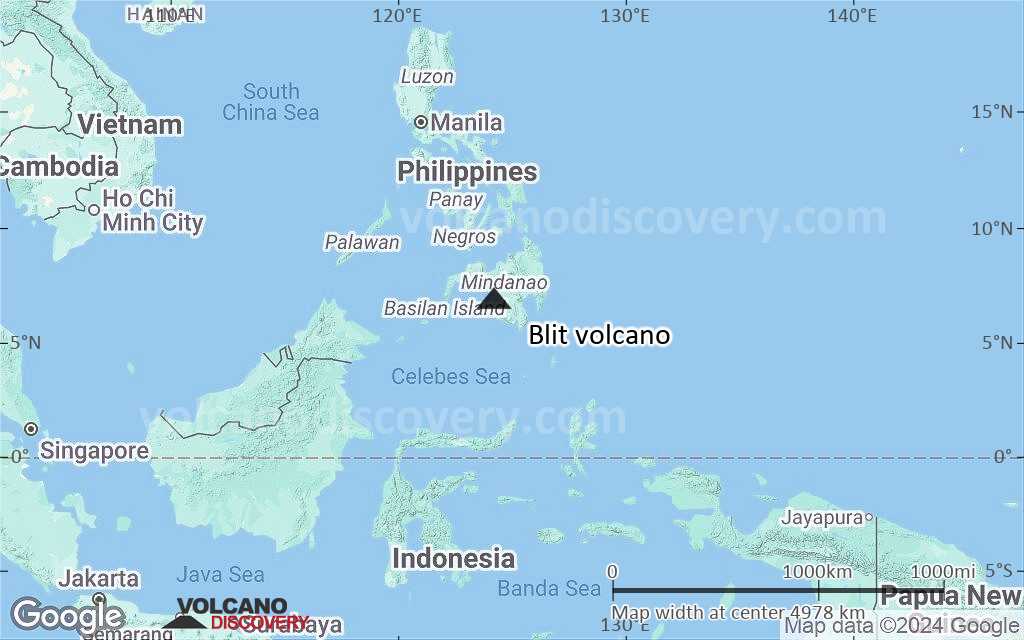
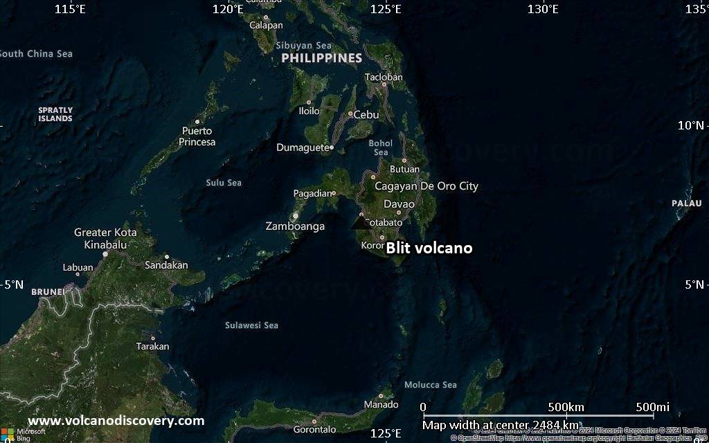
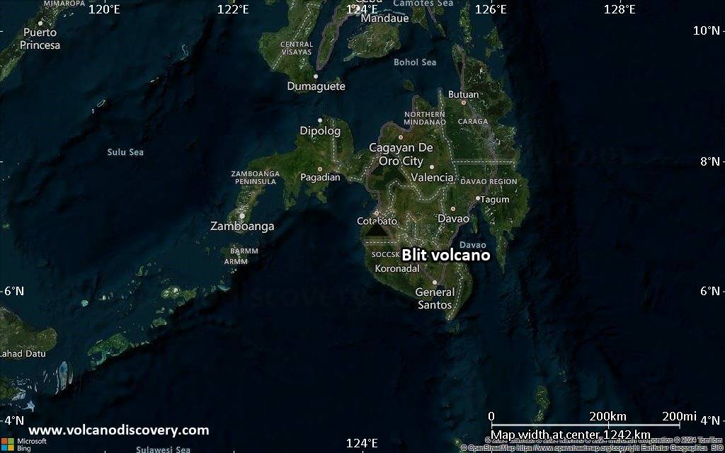
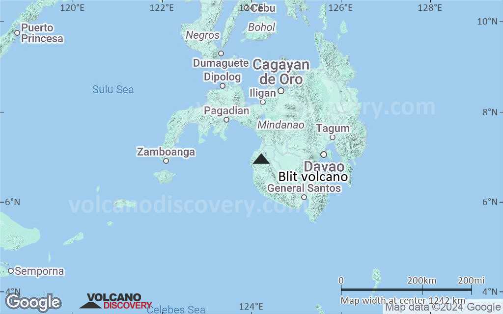
Philippines, 6.96°N / 124.23°E 
+Hora local:
Salida del sol:
Puesta del sol:
Salida de la luna:
Puesta de la luna:
Summit height: 1198 m / 3930 ft
Current status: (probably) extinct (0 out of 5)
[smaller] [larger]
Erupciones del volcán Blit: None during the past 10,000 years
Less than few million years ago (Pleistocene)
Latest nearby earthquakes
| Fecha y hora | Mag / Prof. | Distancia / Ubicación | |||
|---|---|---|---|---|---|
Background
Mt. Blit, a poorly known volcanic complex in south-central Mindanao, south of Cotabato City, has two main summits. The youngest dated rocks of the basaltic-to-dacitic volcano, also known as Blik, are about 760,000 years old.---
Source: Smithsonian / GVP volcano information
Blit Volcano Photos
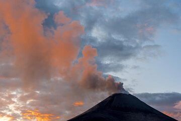
A medida que pasan los minutos, la luz del sol se debilita. (Photo: Tom Pfeiffer)
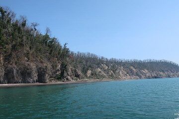
Costa occidental de la isla de Panjang con vegetación recuperándose lentamente (Photo: AndreyNikiforov)
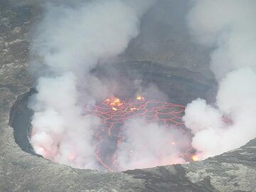
Día 5: A medida que la luz se vuelve más débil hacia la noche, el resplandor rojo del lago de lava vuelve a ser mejor visible. (Photo: Ingrid Smet)
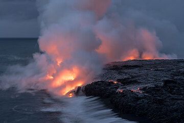
El brillo de la lava se debilita a medida que la luz del día se vuelve más intensa. Un flujo superficial en la parte central inferior derecha se acerca lentamente al acan...
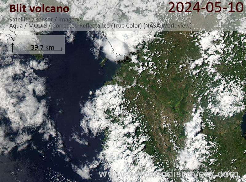
Últimas imágenes satelitales
Blit Volcán Mapas
Below is a selection of maps showing the location and surroundings of the volcano at various resolutions based on aerial-imagery / terrain maps. Feel free to use them for non-commercial purposes on your blog or website as long as you credit them with a link back to this page (click to copy it).
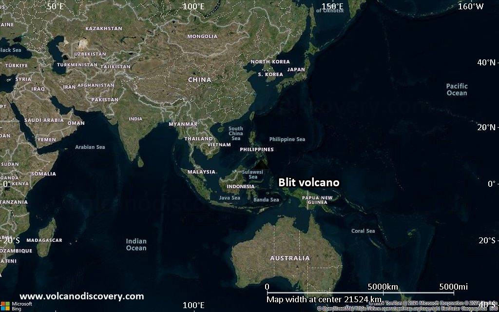
Satellite/aerial-type map of Blit volcano (world scale)

Terrain-type map of Blit volcano (world scale)
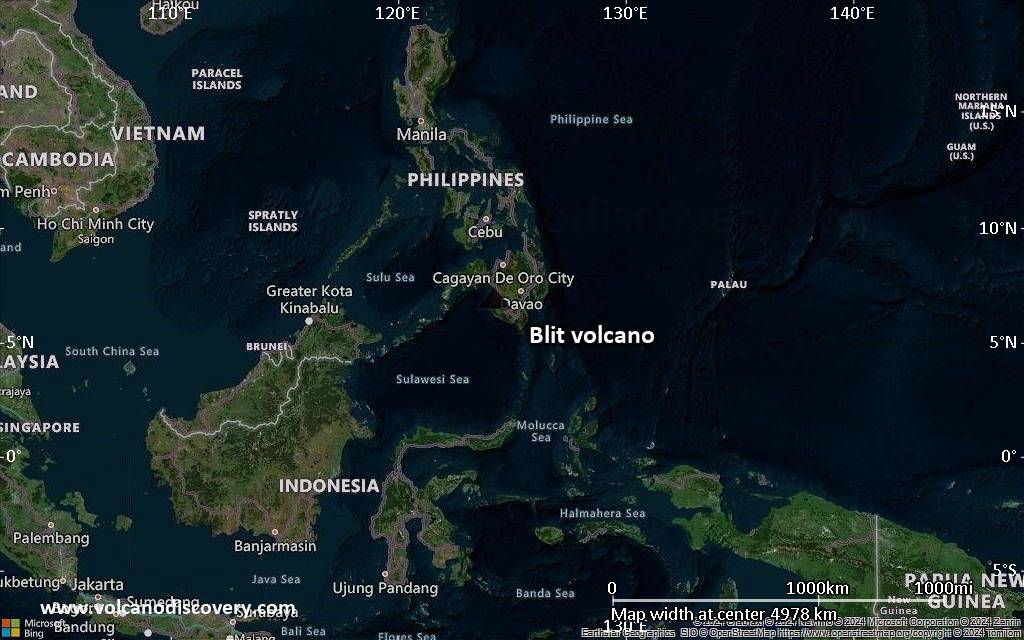
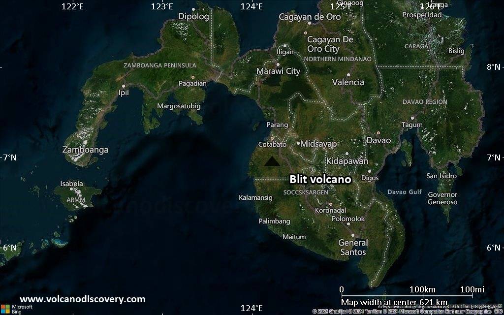
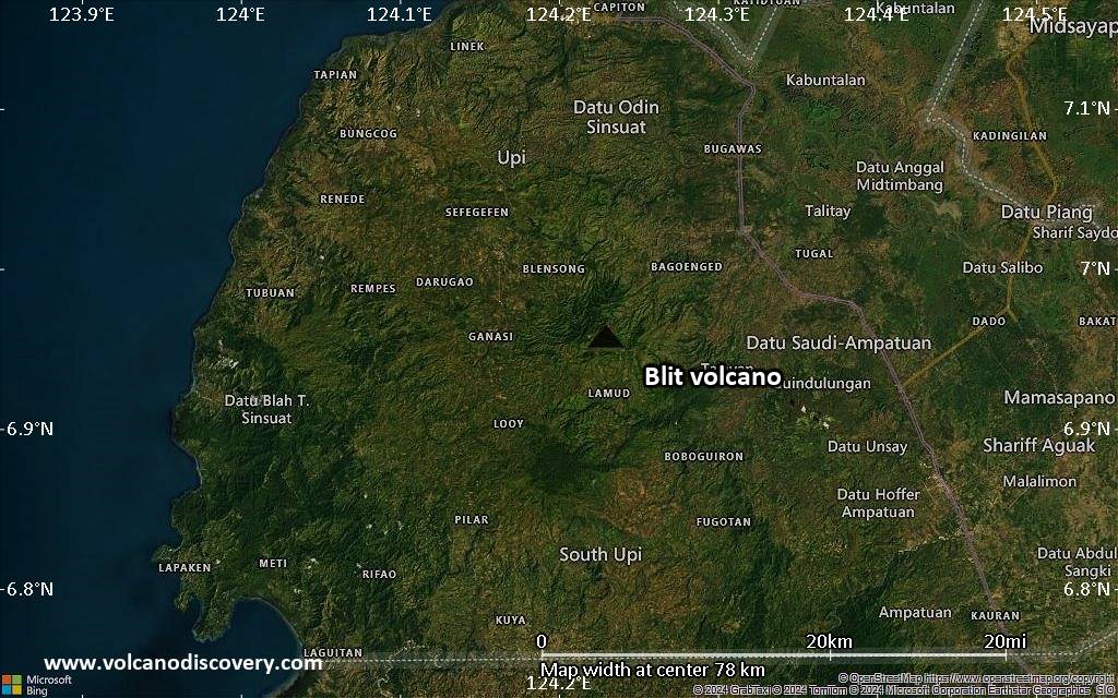
Satellite/aerial-type map of Blit volcano (region scale large)
Terrain-type map of Blit volcano (region scale large)
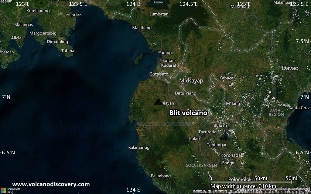
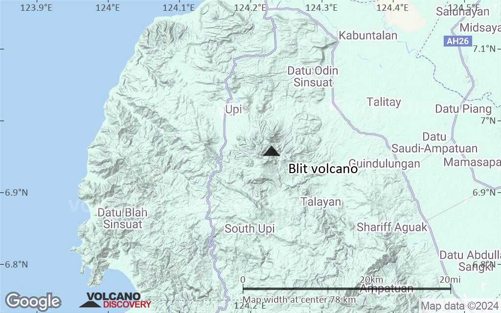
Satellite/aerial-type map of Blit volcano (region scale medium)

Terrain-type map of Blit volcano (region scale medium)
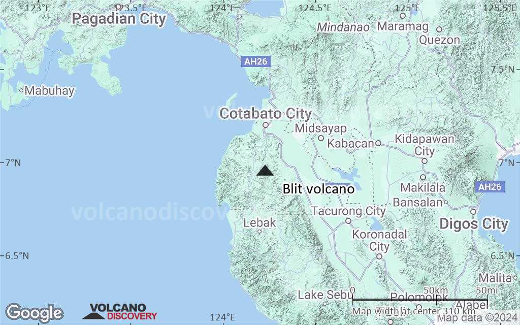
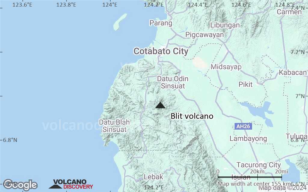
Satellite/aerial-type map of Blit volcano (region scale small)
Terrain-type map of Blit volcano (region scale small)
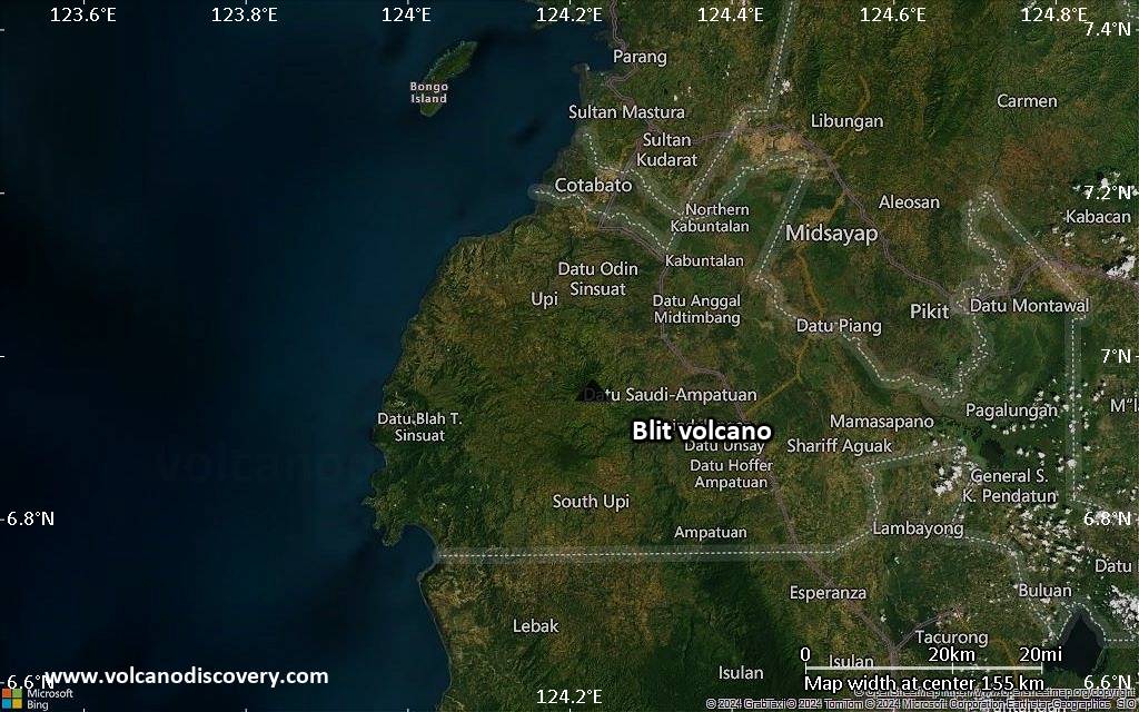
Satellite/aerial-type map of Blit volcano (local scale large)

Terrain-type map of Blit volcano (local scale large)
Satellite/aerial-type map of Blit volcano (local scale medium)
Terrain-type map of Blit volcano (local scale medium)
Satellite/aerial-type map of Blit volcano (local scale small)
Terrain-type map of Blit volcano (local scale small)
Satellite/aerial-type map of Blit volcano (scale of 10s of km)
Terrain-type map of Blit volcano (scale of 10s of km)

Satellite/aerial-type map of Blit volcano (scale of 20-40 km)

Terrain-type map of Blit volcano (scale of 20-40 km)

Satellite/aerial-type map of Blit volcano (scale of approx. 10-20 km)

Terrain-type map of Blit volcano (scale of approx. 10-20 km)
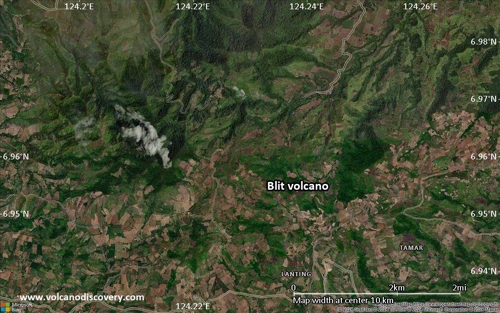
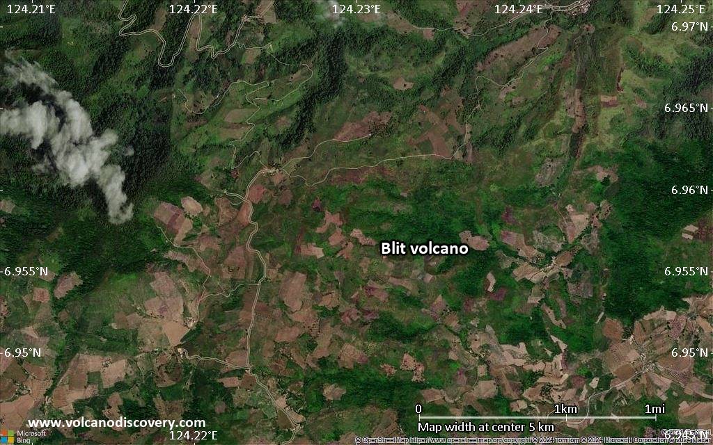
Satellite/aerial-type map of Blit volcano (scale of 5-10 km)
Satellite/aerial-type map of Blit volcano (scale of few kilometers)


