


Gordon Volcán
Updated: 10 mayo 2025 02:37 GMT -
Cinder cones
United States, Eastern Alaska, 62.13°N / -143.08°W 
+Hora local:
Salida del sol:
Puesta del sol:
Salida de la luna:
Puesta de la luna:
Summit height: 2755 m / 9,039 ft
Current status: (probably) extinct (0 out of 5)
[smaller] [larger]
Erupciones del volcán Gordon: unknown, no recent eruptions
Latest nearby earthquakes
| Fecha y hora | Mag / Prof. | Distancia / Ubicación | |||
|---|---|---|---|---|---|
Background
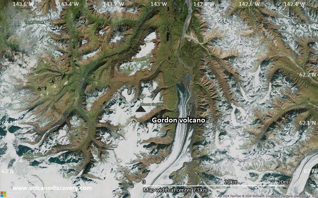
Mount Gordon is the most prominent of a group of Pleistocene and Holocene cinder cones in the northern Wrangell Mountains between Mount Drum and the Nabesna Glacier river system. Most of the cinder cones are <100 m high, but Mount Gordon is a composite basaltic cinder-lava cone 5 km in diameter and 625 m high. Many of the cones retain their original constructional forms (Richter, in Wood and Kienle, 1990). Construction of the cone was preceded by the effusion of basaltic lava flows, and airfall deposits from the cone blanket the area. The precise age of the largely ice-covered Mount Gordon cinder cone is not known.---
Smithsonian / GVP volcano information
Últimas imágenes satelitales
Gordon Volcán Mapas
Below is a selection of maps showing the location and surroundings of the volcano at various resolutions based on aerial-imagery / terrain maps. Feel free to use them for non-commercial purposes on your blog or website as long as you credit them with a link back to this page (click to copy it).
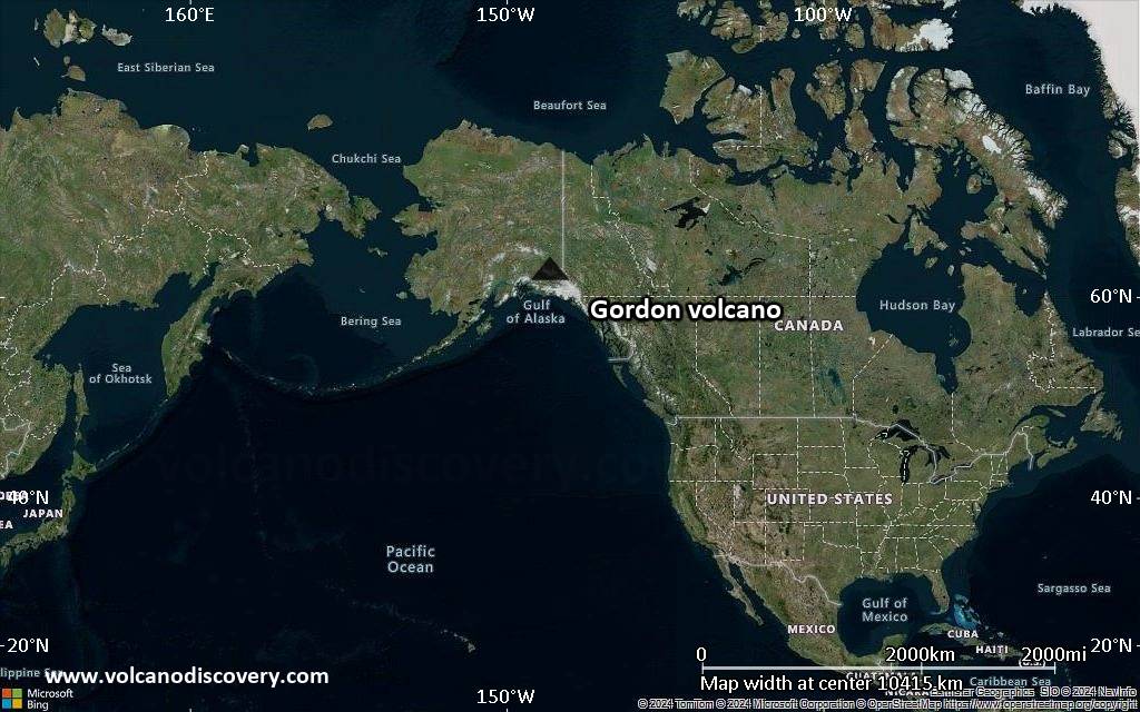
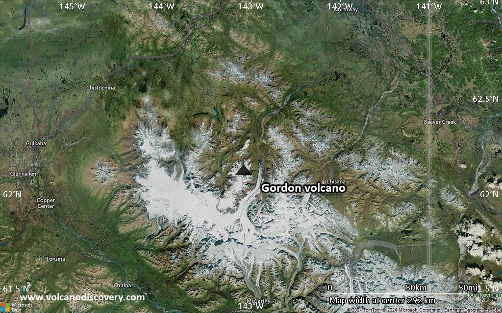
Satellite/aerial-type map of Gordon volcano (world scale)

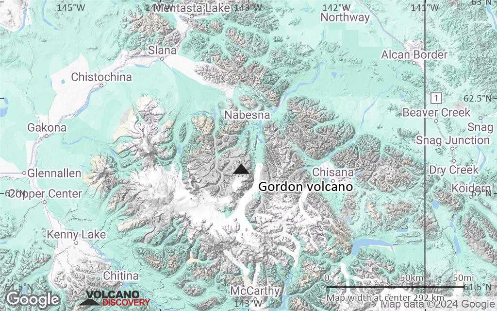
Terrain-type map of Gordon volcano (world scale)

Satellite/aerial-type map of Gordon volcano (region scale large)
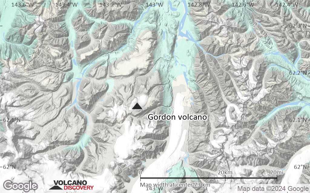
Terrain-type map of Gordon volcano (region scale large)

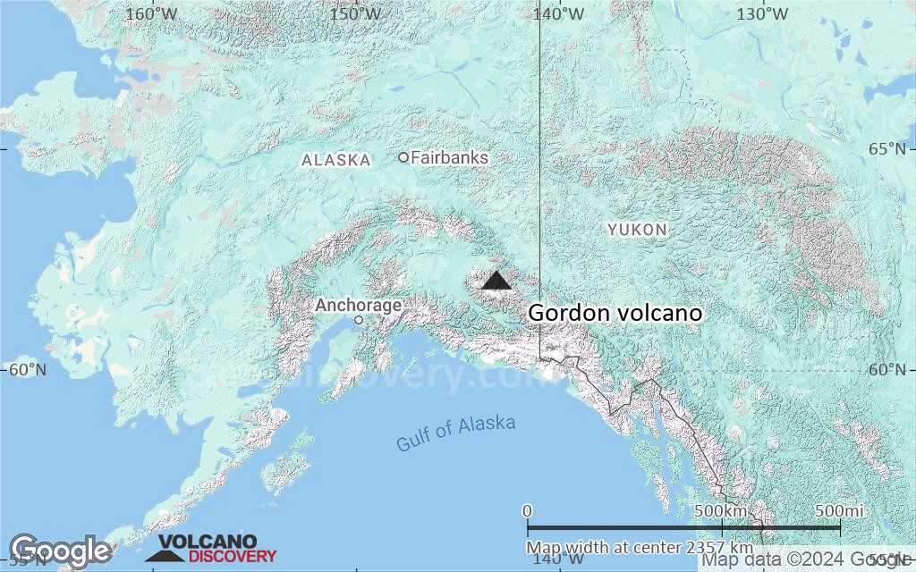
Satellite/aerial-type map of Gordon volcano (region scale medium)

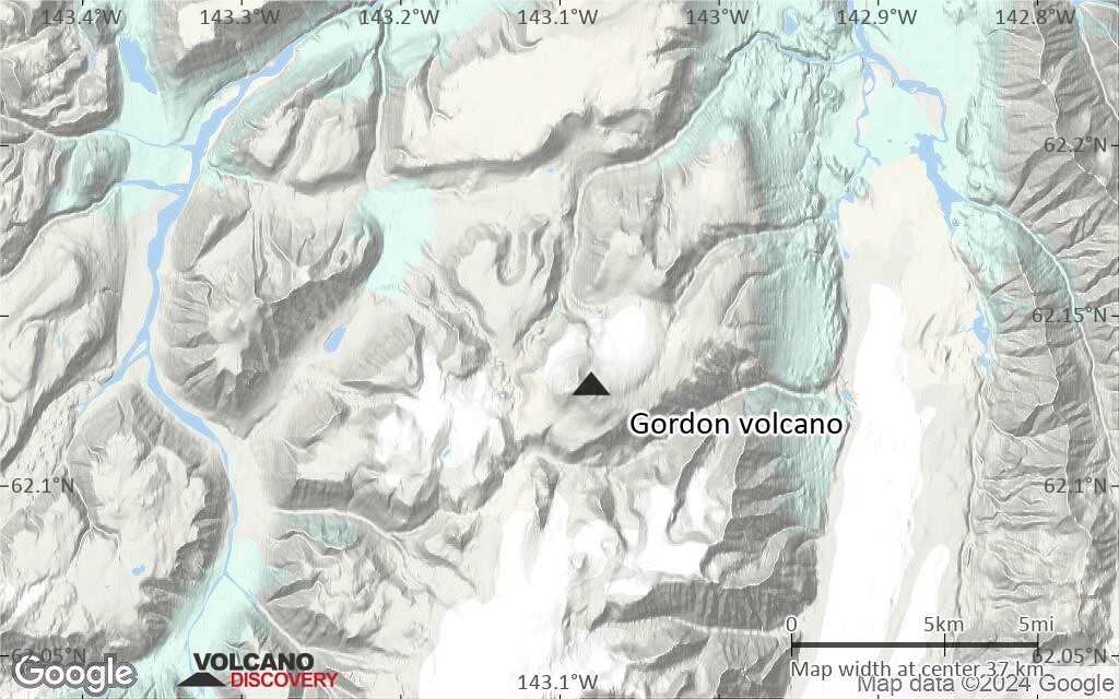
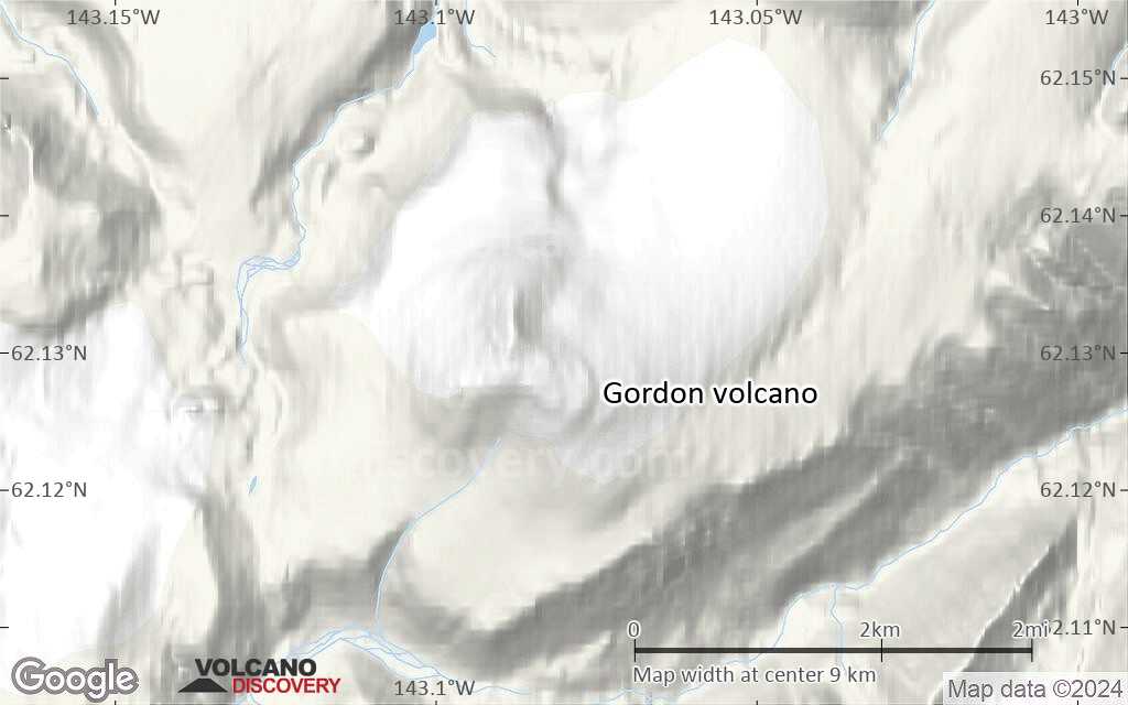
Terrain-type map of Gordon volcano (region scale medium)

Satellite/aerial-type map of Gordon volcano (region scale small)

Terrain-type map of Gordon volcano (region scale small)
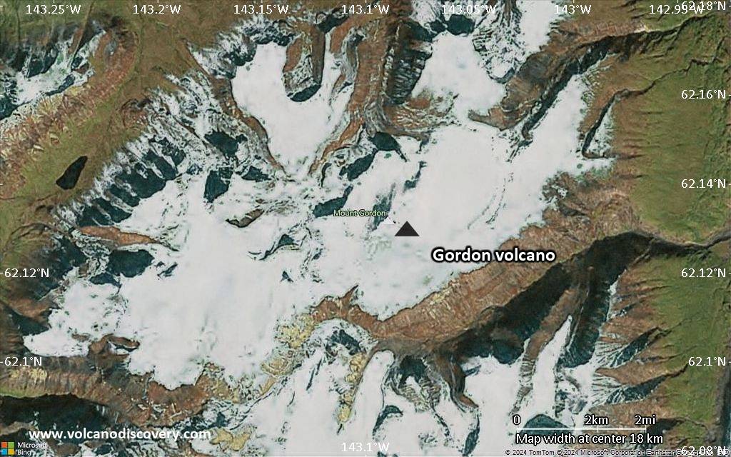
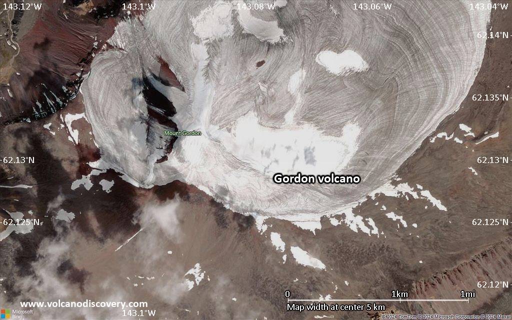
Satellite/aerial-type map of Gordon volcano (local scale large)
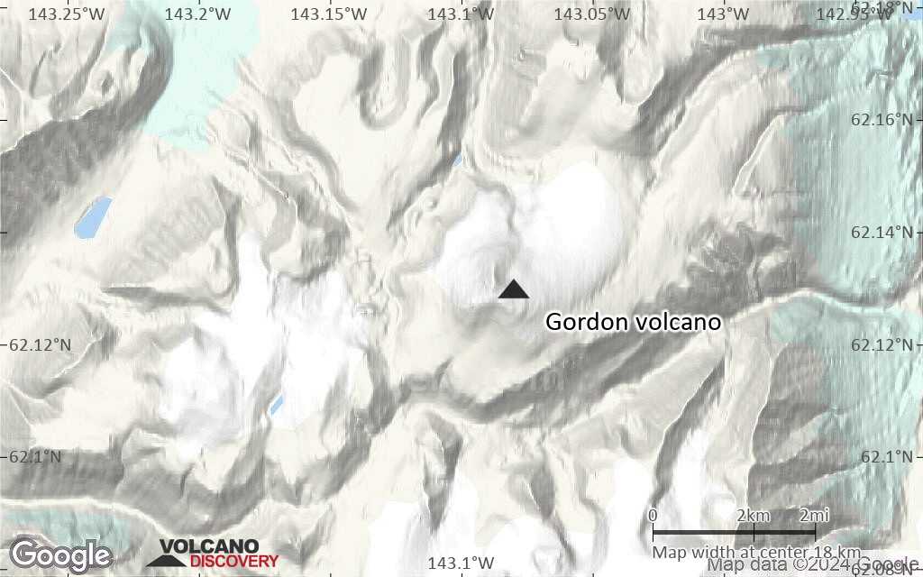
Terrain-type map of Gordon volcano (local scale large)
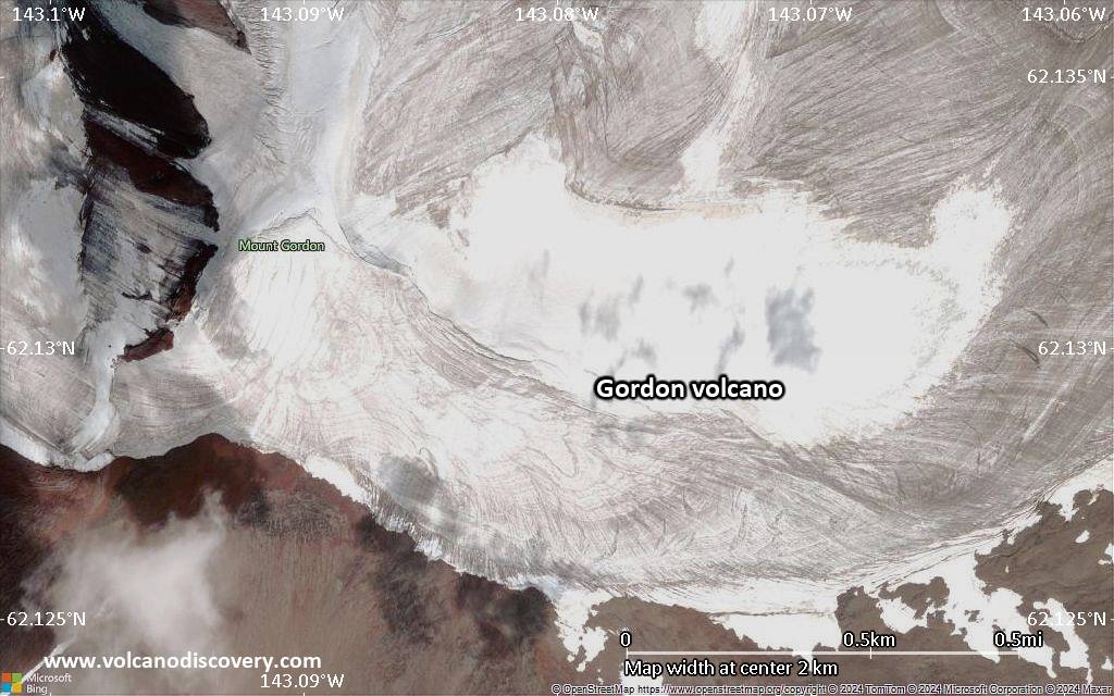
Satellite/aerial-type map of Gordon volcano (local scale medium)

Terrain-type map of Gordon volcano (local scale medium)
Satellite/aerial-type map of Gordon volcano (local scale small)
Terrain-type map of Gordon volcano (local scale small)

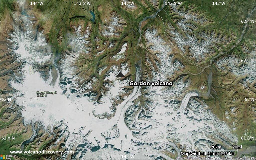
Satellite/aerial-type map of Gordon volcano (scale of 10s of km)
Terrain-type map of Gordon volcano (scale of 10s of km)
Satellite/aerial-type map of Gordon volcano (scale of 20-40 km)
Terrain-type map of Gordon volcano (scale of 20-40 km)

Satellite/aerial-type map of Gordon volcano (scale of approx. 10-20 km)
Terrain-type map of Gordon volcano (scale of approx. 10-20 km)
Satellite/aerial-type map of Gordon volcano (scale of 5-10 km)
Satellite/aerial-type map of Gordon volcano (scale of few kilometers)


