| RSS | EN | DE | EL | ES | FR | IT | RU

Bulusan Volcan

Updated: 1 mai 2025 13:00 GMT -
Stratovolcano
Luzon Island, Philippines, 12.77°N / 124.05°E
Summit height: 1565 m / 5,134 ft
Condition actuelle: en éruption (4 sur 5)
Last update: 1 mai 2025 (Volcanic Ash Advisory)

Bulusan, one of the most active volcanoes in the Philippines, is Luzon's southernmost volcano. It lies at the SE end of the Bicol volcanic arc occupying the peninsula of the same name that forms the elongated SE tip of Luzon island.

[smaller] [larger]
Style éruptif tipique: Explosive. In historic time, frequent small to moderate phreatic and phreatomagmatic ash eruptions. Mudflows from loose deposits on flank are often generated when heavy rains fall (e.g. during taifuns).
Eruptions du volcan Bulusan: 2016, 2015, 2011, Oct 2006-07, Mar-Jun 2006, 1994, 1988, 1983, 1981, 1979, 1978, 1933, 1928, 1918-22, 1916, 1894, 1892, 1889, 1886, 1852(?)

Derniers séismes proches

Date et l'heureMag / Prof.Distance / Lieux
20 avril 19:39 (Temps Universel)
1.8

33 km
17 km au nord 15 km au sud-est de Sorsogon, Province of Sorsogon, Bicol, Philippines Info

Introduction

Bulusan is a young andesitic volcano built upon the NE rim of an older dacitic-to-rhyolitic caldera, the 11-km wide Irosin caldera, which was formed about 35,000-40,000 years ago.
Bulusan is flanked by several other large intracaldera lava domes and cones, including the prominent Mount Jormajan lava dome on the SW flank and Sharp Peak to the NE. The summit of 1565-m-high Bulusan volcano is unvegetated and contains a 300-m-wide, 50-m-deep crater. Three small craters are located on the SE flank.
Many moderate explosive eruptions have been recorded at Bulusan since the mid-19th century.

Éruptions volcaniques importantes: volcano Bulusan

In the past 10,000 years, Bulusan has had at least 24 confirmed volcanic eruptions, out of which 22 are documented by historical records, while the others can be inferred from geological evidence.
There is one uncertain or discredited eruption in 1852 from Bulusan volcano.
The table below lists all known eruptions (date in bold face) of Bulusan volcano since around 1900. Updates on the most recent volcanic activity of Bulusan can be found on the news page of Bulusan volcano.
DateNoteVEIMortsDommages
2022 Jun 5 - Jun 12
Obs./docs historiques
2
inconnu
2017 Jun 5SE Flank Crater area
Obs./docs historiques
1
inconnu
2016 Jun 10 - Déc 29Upper SE flank and summit vent
Obs./docs historiques
2
inconnu
2016 Fév 22Summit crater
Obs./docs historiques
2
inconnu
2015 Mai 1 - Jul 17Summit crater
Obs./docs historiques
2
inconnu
2010 Nov 6 - 2011 Mai 13Summit crater
Obs./docs historiques
2
inconnu
2011 Fév 23
(épisode éruptif 2011 Fév 21)
Obs./docs historiques
21
inconnu
Infos
2006 Oct 10 - 2007 Oct 4
Obs./docs historiques
2
inconnu
2006 Mar 21 - Jun 28
Obs./docs historiques
2
inconnu
2006 Jun 7
(éruption 2006 Mar 21 - Jun 28)
Obs./docs historiques
21
inconnu
Infos
1994 Nov 27 - 1995 Jan 28 ou plus tard
Obs./docs historiques
2
inconnu
1988 Fév 20 - Mar 8
Obs./docs historiques
2
inconnu
1983 Jun 25 - Jun 29
Obs./docs historiques
2
inconnu
1981 Avr 9 - Avr 27
Obs./docs historiques
3
inconnu
1979 Déc 27 - 1980 Sep 28
Obs./docs historiques
3
inconnu
1978 Jul 29 - Août 14
Obs./docs historiques
2
inconnu
1978 Jul 29
(éruption 1978 Jul 29 - Août 14)
Obs./docs historiques
2
léger
1933 Déc 25
Obs./docs historiques
2
inconnu
1933 Déc 25
(éruption 1933 Déc 25)
Tsunami enregistré
Obs./docs historiques
29
lourd
Infos
1928 Jun
Obs./docs historiques
2
inconnu
1918 Oct - 1922 Mai
Obs./docs historiques
2
inconnu
1916 Jan 18 - Jan 22
Obs./docs historiques
2
inconnu
Remark:
Our list of volcanic eruptions closely follows the database of eruptions of the Smithsonian's Global Volcanism Project (GVP), the internationally most recognized data source for volcanic eruptions, but also includes significant eruptive episodes or related volcano events. "Volcanic eruptions" are usually to be understood as sequences of individual eruptive episodes that can follow each other, or even overlap (if several vents are involved), and can last many years, decades or even longer. For example, the current activity of Stromboli volcano is understood as a single eruption that has been ongoing since 1934.
Sources: NOAA National Centers for Environmental Information (NCEI), Global Significant Volcanic Eruptions Database. doi:10.7289/V5TD9V7K | Global Volcanism Project / Smithsonian Institution

Bulusan Volcano FAQ

+When was the last eruption of Bulusan volcano?

+How often does Bulusan volcano erupt?

+How active is Bulusan volcano at present?

+When was the largest eruption of Bulusan volcano?

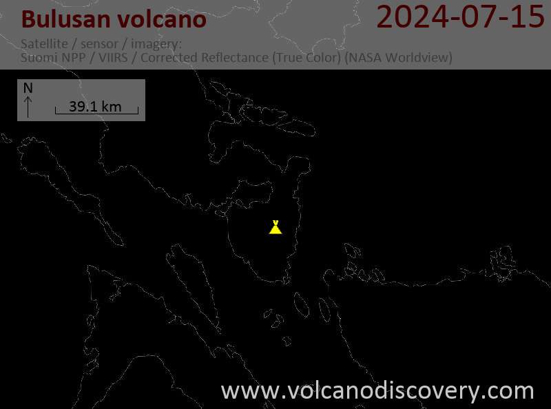
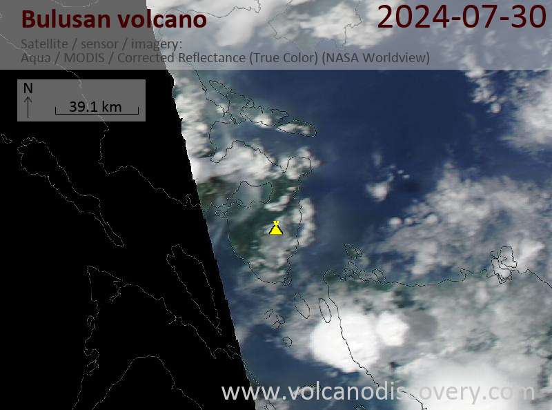
Dernières images satellite

Bulusan image satellite sat1Bulusan image satellite sat2

Bulusan Volcan Cartes

Below is a selection of maps showing the location and surroundings of the volcano at various resolutions based on aerial-imagery / terrain maps. Feel free to use them for non-commercial purposes on your blog or website as long as you credit them with a link back to this page (click to copy it).
Satellite/aerial-type map of Bulusan volcano (world scale)
Terrain-type map of Bulusan volcano (world scale)
Satellite/aerial-type map of Bulusan volcano (region scale large)
Terrain-type map of Bulusan volcano (region scale large)
Satellite/aerial-type map of Bulusan volcano (region scale medium)
Terrain-type map of Bulusan volcano (region scale medium)
Satellite/aerial-type map of Bulusan volcano (region scale small)
Terrain-type map of Bulusan volcano (region scale small)
Satellite/aerial-type map of Bulusan volcano (local scale large)
Terrain-type map of Bulusan volcano (local scale large)
Satellite/aerial-type map of Bulusan volcano (local scale medium)
Terrain-type map of Bulusan volcano (local scale medium)
Satellite/aerial-type map of Bulusan volcano (local scale small)
Terrain-type map of Bulusan volcano (local scale small)
Satellite/aerial-type map of Bulusan volcano (scale of 10s of km)
Terrain-type map of Bulusan volcano (scale of 10s of km)
Satellite/aerial-type map of Bulusan volcano (scale of 20-40 km)
Terrain-type map of Bulusan volcano (scale of 20-40 km)
Satellite/aerial-type map of Bulusan volcano (scale of approx. 10-20 km)
Terrain-type map of Bulusan volcano (scale of approx. 10-20 km)
Satellite/aerial-type map of Bulusan volcano (scale of 5-10 km)
Satellite/aerial-type map of Bulusan volcano (scale of few kilometers)
Volcanoes & Earthquakes - new app for Android
Départs garantis:
9-25 juin 2025: Volcans et Épices - Mer des Moluques (Sulawesi, Indonésie)
7-22 juil. 2025: Du Krakatau à Bali - Java (Indonésie)
7-23 juil. 2025: Volcans et Épices - Mer des Moluques (Sulawesi, Indonésie)
1-17 août 2025: Volcans et Épices - Mer des Moluques (Sulawesi, Indonésie)
1-14 oct. 2025: Désert, sels et volcans - Désert de Danakil (Éthiopie)
4-12 oct. 2025: Montagnes de Feu - du Stromboli à l'Etna - Eoliennes + Etna
6-21 oct. 2025: Du Krakatau à Bali - Java (Indonésie)
3-19 nov. 2025: Volcans et Épices - Mer des Moluques (Sulawesi, Indonésie)
= Places libres   = Départ garanti   = Quelques places disponibles   = Groupe fermé
mer., 30 avril 2025, 14:00

Bulusan volcano (Philippines) - Smithsonian / USGS Weekly Volcanic Activity Report for 23 April-29 April 2025 (New Activity / Unrest)

The Philippine Institute of Volcanology and Seismology (PHIVOLCS) reported increased activity at Bulusan on 27 April and a phreatic eruption on 28 April. Seismicity had increased on 12 April and continued to be elevated, prompting a special report to be issued on 21 April. On 27 April there were 53 volcanic earthquakes detected by the seismic network. ... Tout lire

Sur cette page:

Try our free app!
Volcanoes & Earthquakes - new app for Android
Android | iOS version

More on VolcanoDiscovery

Why is there advertising on this site?

Support us - Help us upgrade our services!

We truly love working to bring you the latest volcano and earthquake data from around the world. Maintaining our website and our free apps does require, however, considerable time and resources.
We need financing to increase hard- and software capacity as well as support our editor team. We're aiming to achieve uninterrupted service wherever an earthquake or volcano eruption unfolds, and your donations can make it happen! Every donation will be highly appreciated. If you find the information useful and would like to support our team in integrating further features, write great content, and in upgrading our soft- and hardware, please make a donation (PayPal).

Planned features:Thanks to your past donations, these features have been added recently:
Download and Upgrade the Volcanoes & Earthquakes app to get one of the fastest seismic and volcano alerts online:
Android | IOS
Thank you!
Copyright: VolcanoDiscovery ou autres sources indiquées.
Utilisation des documents: Les textes, les images et les vidéos de ce site internet sont protégées par copyright. Toute reproduction et tout usage sans accord préalable ne sont pas autorisés. Si vous désirez acquérir pour certains documents (photos, vidéos, textes ou autres) le droit de reproduction, d'édition et, plus généralement, de toute utilisation destinée à un usage public, qu'elle soit commerciale ou pas, vous êtes priés de nous contacter.
Volcanoes & Earthquakes
VolcanoDiscovery Home
Volcans | Séismes | Photos | Actualités | | Shop | App
Adventure & Study Travel
Tours to Volcanoes and Volcanic Areas: walking tours, photo tours, study tours
Voyages |
Get our newsletter!
Company info
Contact | Mentions légales | Terms & conditions
Follow us
Follow us on facebook Follow us on Instagram Follow us on Bluesky Follow us on Twitter Visit our Youtube channel
EN | DE | EL | ES | FR | IT | RU
VolcanoDiscovery GmbH, Germany, Reg. nr.: HRB 103744, EU Tax Id: DE 297 465 123 owned and created by
Dr. Tom Pfeiffer, volcanologist, volcano photographer, tour organizer member of
IAVCEI
IAVCEI
Vulkanologische Gesellschaft
Volcanological Society
Ecotourism Greece
Ecotourism Greece
RUV insurance
Insured by R+V
VolcanoDiscovery © 2004- All Rights Reserved | Privacy - Changer Préférences