Bulusan Volcano
Bulusan, one of the most active volcanoes in the Philippines, is Luzon's southernmost volcano. It lies at the SE end of the Bicol volcanic arc occupying the peninsula of the same name that forms the elongated SE tip of Luzon island.
Bulusan volcano eruptions: 2016, 2015, 2011, Oct 2006-07, Mar-Jun 2006, 1994, 1988, 1983, 1981, 1979, 1978, 1933, 1928, 1918-22, 1916, 1894, 1892, 1889, 1886, 1852(?)
Latest nearby earthquakes
| Date and Time | Mag / Depth | Distance / Location | |||
|---|---|---|---|---|---|
Background
Bulusan is a young andesitic volcano built upon the NE rim of an older dacitic-to-rhyolitic caldera, the 11-km wide Irosin caldera, which was formed about 35,000-40,000 years ago.Bulusan is flanked by several other large intracaldera lava domes and cones, including the prominent Mount Jormajan lava dome on the SW flank and Sharp Peak to the NE. The summit of 1565-m-high Bulusan volcano is unvegetated and contains a 300-m-wide, 50-m-deep crater. Three small craters are located on the SE flank.
Many moderate explosive eruptions have been recorded at Bulusan since the mid-19th century.
Significant volcanic eruptions: Bulusan volcano
There is one uncertain or discredited eruption in 1852 from Bulusan volcano.
| Date | Note | VEI | Deaths | Damage | |
|---|---|---|---|---|---|
Historical obs./docs. | 2 | ||||
| SE Flank Crater area Historical obs./docs. | 1 | ||||
| Upper SE flank and summit vent Historical obs./docs. | 2 | ||||
| Summit crater Historical obs./docs. | 2 | ||||
| Summit crater Historical obs./docs. | 2 | ||||
| Summit crater Historical obs./docs. | 2 | ||||
| 2011 Feb 23 (eruptive episode | Historical obs./docs. | 2 | 1 | Info | |
Historical obs./docs. | 2 | ||||
Historical obs./docs. | 2 | ||||
| 2006 Jun 7 (eruption | Historical obs./docs. | 2 | 1 | Info | |
Historical obs./docs. | 2 | ||||
Historical obs./docs. | 2 | ||||
Historical obs./docs. | 2 | ||||
Historical obs./docs. | 3 | ||||
Historical obs./docs. | 3 | ||||
Historical obs./docs. | 2 | ||||
| 1978 Jul 29 (eruption | Historical obs./docs. | 2 | light | ||
Historical obs./docs. | 2 | ||||
| 1933 Dec 25 (eruption | Tsunami recorded Historical obs./docs. | 2 | 9 | heavy | Info |
Historical obs./docs. | 2 | ||||
Historical obs./docs. | 2 | ||||
Historical obs./docs. | 2 | ||||
Bulusan Volcano FAQ
+When was the last eruption of Bulusan volcano?
The last confirmed eruption of Bulusan occurred in 2022.
+How often does Bulusan volcano erupt?
Since 1886, Bulusan volcano has had at least 22 historically documented eruptions. This means that it erupts on average every 6.3 years.
Many eruptions of Bulusan have lasted more than one year. In total, the volcano has been in eruption during 28 out of 139 years until now. In other words, Bulusan has been active at least one in 5 years on average. Note that this value is likely an underestimate, because the known history of eruptions from Bulusan is likely incomplete, especially further back in time.
+How active is Bulusan volcano at present?
Bulusan volcano is relatively active: Since 1900, it has had 24 eruptions, and been active during 24 years out of 126 as of now. This means, Bulusan has been in eruption one in 5.3 years on average. The last eruption was in 2022 and ended 3 years ago.
+When was the largest eruption of Bulusan volcano?
The largest eruption of Bulusan volcano in historic times occurred in 1981. It ranks as a "vulcanian" eruption with a magnitude 3 on the VEI (Volcanic Explosivity Index) scale.
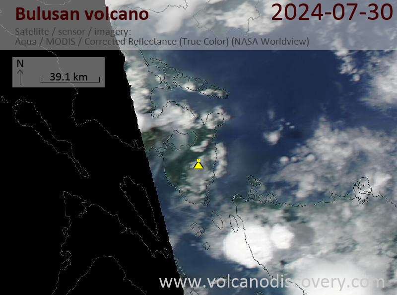
Latest satellite images
Bulusan Volcano Maps


