Kuwae Volcano
Updated: 29 avril. 2024 18:37 GMT -
Caldera -2 m / - 7 ft
Vanuatu, -16.83°S / 168.54°E
Condition actuelle: normal / en sommeil (1 sur 5)
Vanuatu, -16.83°S / 168.54°E
Condition actuelle: normal / en sommeil (1 sur 5)
[smaller] [larger]
Eruptions du volcan Kuwae: 1974
Derniers séismes proches
| Heure | Mag. / Profondeur | Distance / Lieu | |||
Introduction
The largely submarine Kuwae caldera occupies the area between Epi and Tongoa islands. The 6 x 12 km caldera contains two basins that cut the NW end of Tongoa Island and the flank of the late-Pleistocene or Holocene Tavani Ruru volcano on the SE tip of Epi Island. Native legends and radiocarbon dates from pyroclastic-flow deposits have been correlated with a 1452 AD ice-core peak thought to be associated with collapse of Kuwae caldera; however, others considered the deposits to be of smaller-scale eruptions and the ice-core peak to be associated with another unknown major South Pacific eruption. The submarine volcano Karua lies near the northern rim of Kuwae caldera and is one of the most active volcanoes of Vanuatu. It has formed several ephemeral islands since it was first observed in eruption during 1897.---
Smithsonian / GVP volcano information
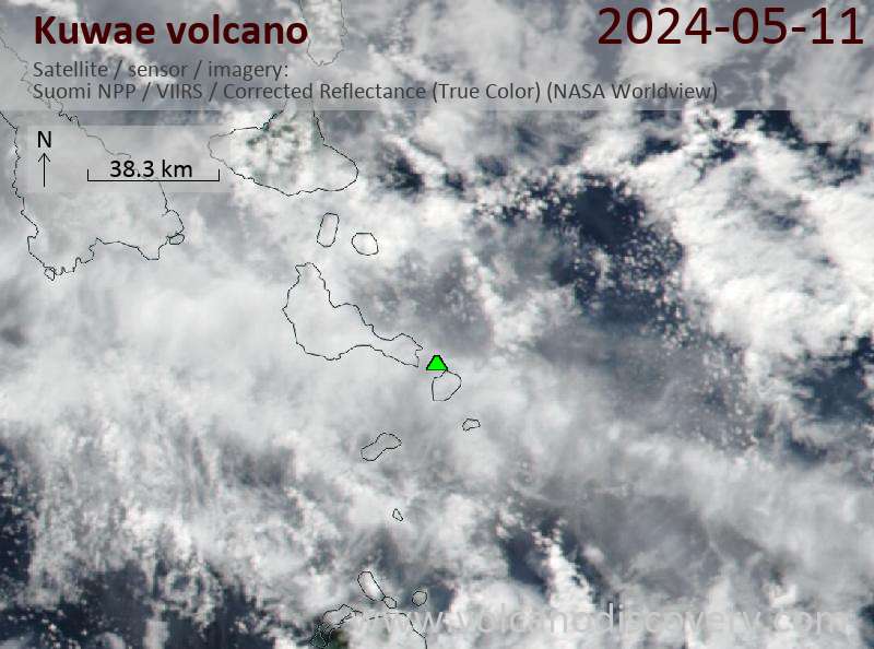
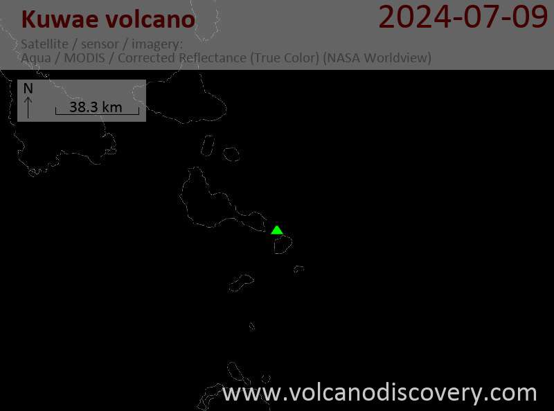
Latest satellite images