


Maca Volcan
Updated: 7 nov.. 2025 23:38 GMT -
stratovolcano
Argentine/Chili (sud) (Amérique du Sud), -45.1°S / -73.17°W 
+Heure locale:
Lever du soleil:
Coucher du soleil:
Lever de lune:
Coucher de lune:
Summit height: 2960 m / 9,711 ft
Condition actuelle: normal / en sommeil (1 sur 5)
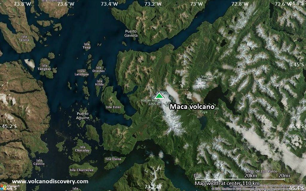
Volcán Macá is a large glaciated active stratovolcano in the southernmost part of the South Andean Volcanic Zone, Chile, NW of Puerto Aisén. It is the highest volcano between Lanín and Lautaro volcanoes.
Along with Cay and Hudson volcanoes, Maca is one of the central volcanoes on the axis of the Andean volcanic arc. Maca volcano is located 230 km east of the Chile trench where the oceanic Nazca Plate starts to be subducted into the mantle underneath the South America Plate.
There are no historic eruptions, but young tephra layers have been found that indicate that the volcano is only dormant.
[smaller] [larger]
Eruptions du volcan Maca: 410 AD ± 50 years
Derniers séismes proches
| Date et l'heure | Mag / Prof. | Distance / Lieux | |||
|---|---|---|---|---|---|
Introduction
Macá is basaltic-to-dacitic in composition and built inside an older caldera. It contains a summit lava dome, 5 flank cinder cones and several lava domes along a NE-trending fissure that extends 15 km down from the summit. The volcano's summit has a steep-sided crater open toward the SSE, which probably was caused by a flank failure. The southernmost cones were formed underwater, and contain hyaloclastite.The volcano lies on the regional Liquiñe-Ofqui fault zone and located at the NW end of a NW–SE-trending 10 km long and 3 km wide volcanic ridge, forming a topographic high of 1500–1700 m.
---
Sources:
- GVP volcano information
- D'Orazio et al (2003) "The Quaternary calc-alkaline volcanism of the Patagonian Andes close to the Chile triple junction: geochemistry and petrogenesis of volcanic rocks from the Cay and Maca volcanoes (~45.8°S, Chile)", Journal of South American Earth Sciences, Volume 16, Issue 4, Pages 219-242
Éruptions volcaniques importantes: volcano Maca
No historic eruptions are known from Maca volcano, but evidence from at least 2 eruptions during the past 10,000 years can be found in the geological record.
The table below lists all known eruptions (date in bold face) of Maca volcano in historic times and during the past 10,000 years. Updates on the most recent volcanic activity of Maca can be found on the news page of Maca volcano.
| Date | Note | VEI | Morts | Dommages | |
|---|---|---|---|---|---|
| SW flank (Bahía Pérez) | ? | inconnu | |||
| ? | inconnu | ||||
Remark:
Our list of volcanic eruptions closely follows the database of eruptions of the Smithsonian's Global Volcanism Project (GVP), the internationally most recognized data source for volcanic eruptions, but also includes significant eruptive episodes or related volcano events. "Volcanic eruptions" are usually to be understood as sequences of individual eruptive episodes that can follow each other, or even overlap (if several vents are involved), and can last many years, decades or even longer. For example, the current activity of Stromboli volcano is understood as a single eruption that has been ongoing since 1934.
Sources: NOAA National Centers for Environmental Information (NCEI), Global Significant Volcanic Eruptions Database. doi:10.7289/V5TD9V7K | Global Volcanism Project / Smithsonian Institution
Eruptions du volcan Maca
2007 earthquakes
A series of earthquakes occurred below the Aisén Fjord 20 km south of the volcano, with 7000 earthquakes recorded between 22 January and early May 2007. The largest earthquake was magnitude 6.2 on 23 April 2007 along the major Liquiñe-Ofqui Fault. It has been suggested that the earthquake swarm was triggered the eruption of Chaiten volcano 250 km further north in May 2008, in a similar way as it might have triggered the 1960 eruption of Cordón Caulle soon after the Great Chilean Earthquake on 22 May 1960.
---
Source:
Lange et al (2008) "First seismic record for intra-arc strike-slip tectonics along the Liquiñe-Ofqui fault zone at the obliquely convergent plate margin of the southern Andes", Tectonophysics, v. 455 (1-4): 14
Maca Volcano FAQ
+When was the last eruption of Maca volcano?
The last confirmed eruption of Maca occurred around 1560 AD.
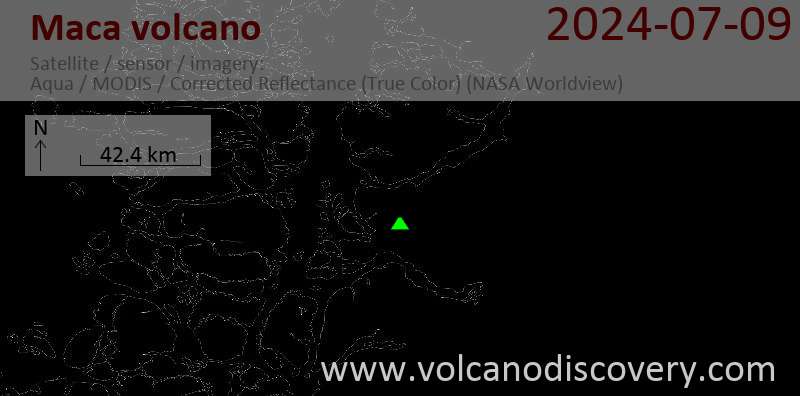
Dernières images satellite

Maca Volcan Cartes
Below is a selection of maps showing the location and surroundings of the volcano at various resolutions based on aerial-imagery / terrain maps. Feel free to use them for non-commercial purposes on your blog or website as long as you credit them with a link back to this page (click to copy it).

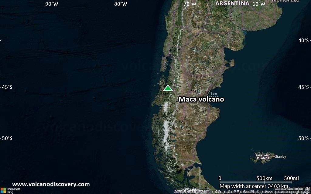
Satellite/aerial-type map of Maca volcano (world scale)

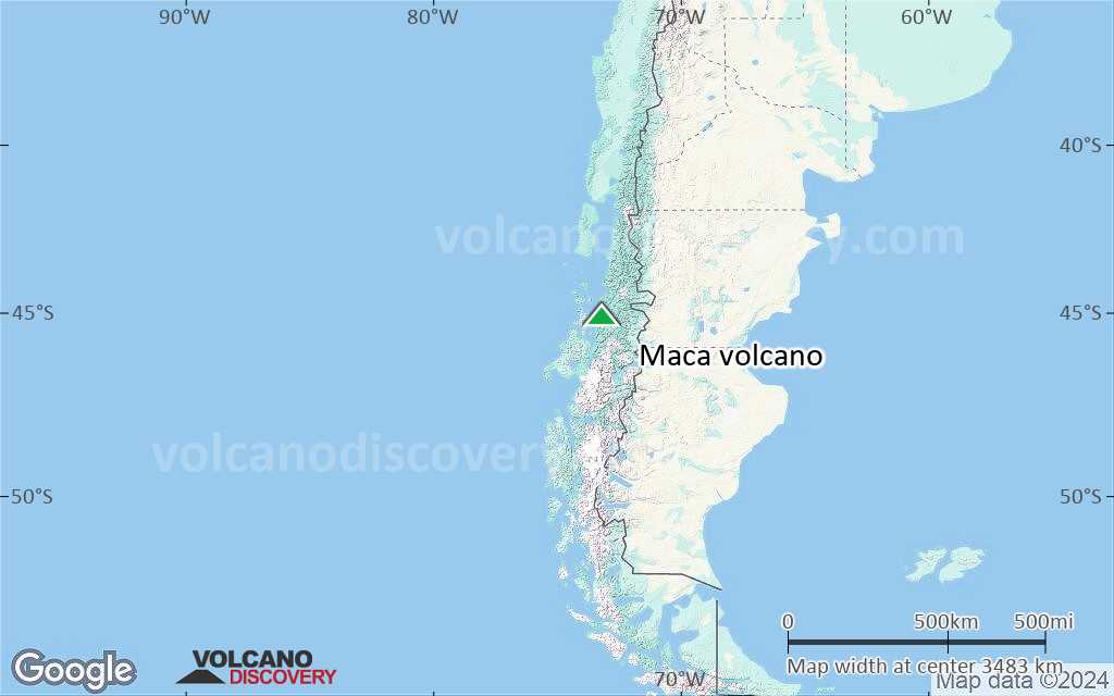
Terrain-type map of Maca volcano (world scale)
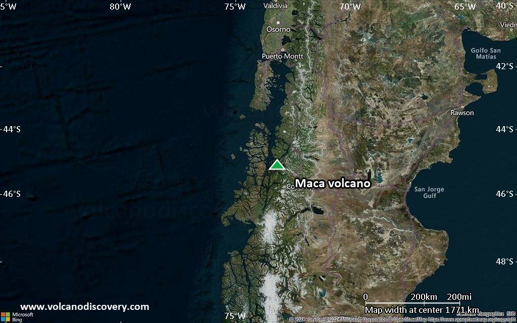
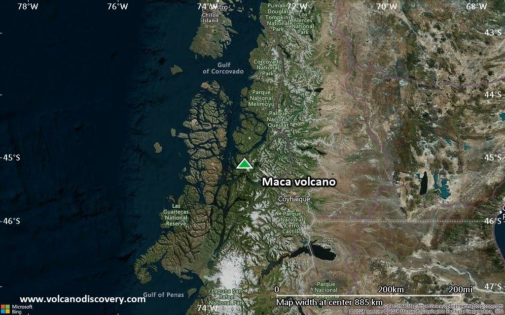
Satellite/aerial-type map of Maca volcano (region scale large)
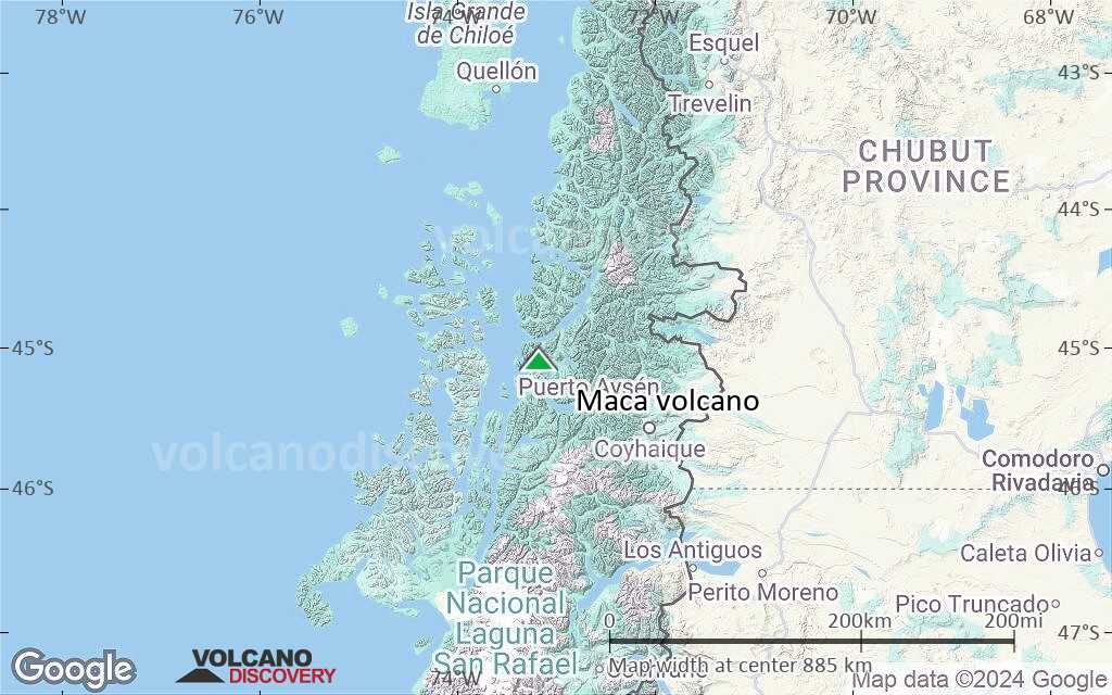
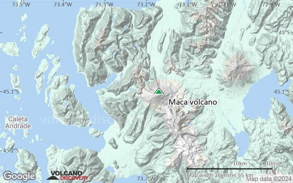
Terrain-type map of Maca volcano (region scale large)
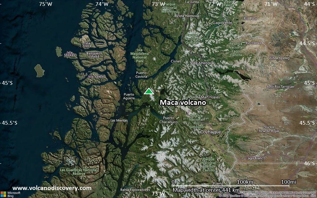
Satellite/aerial-type map of Maca volcano (region scale medium)

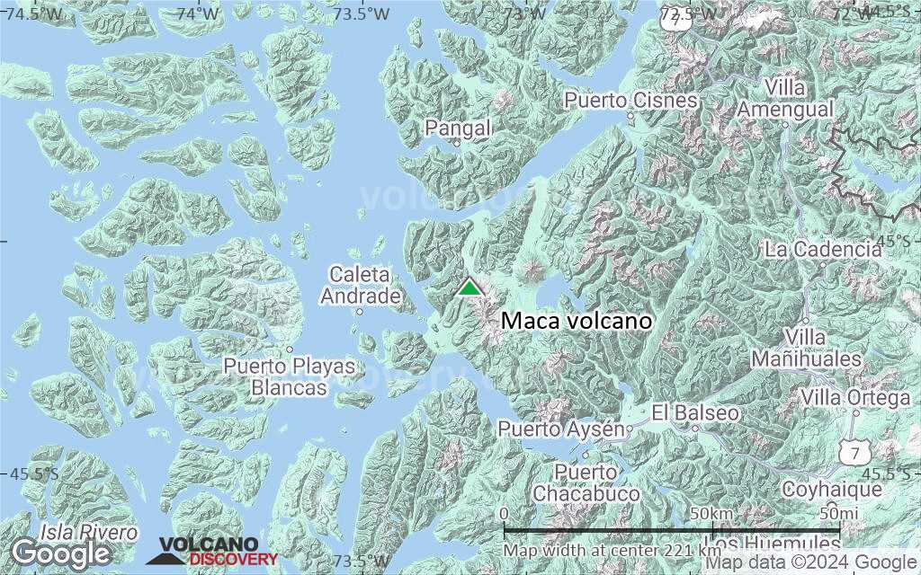
Terrain-type map of Maca volcano (region scale medium)
Satellite/aerial-type map of Maca volcano (region scale small)
Terrain-type map of Maca volcano (region scale small)
Satellite/aerial-type map of Maca volcano (local scale large)

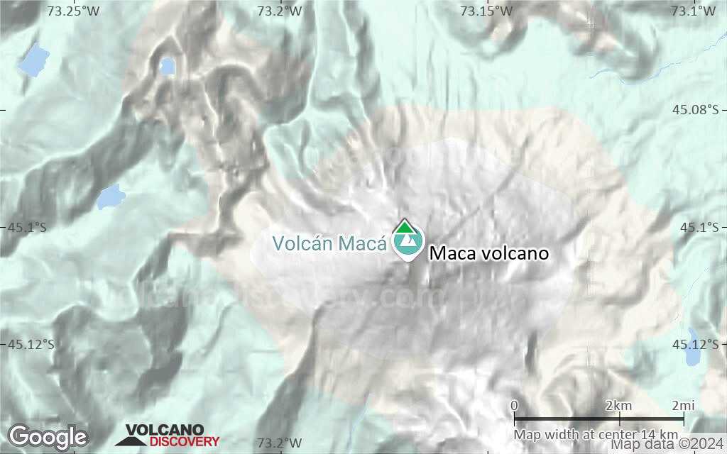
Terrain-type map of Maca volcano (local scale large)

Satellite/aerial-type map of Maca volcano (local scale medium)
Terrain-type map of Maca volcano (local scale medium)
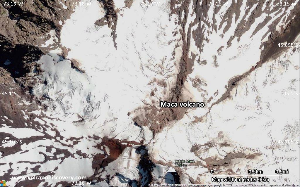
Satellite/aerial-type map of Maca volcano (local scale small)

Terrain-type map of Maca volcano (local scale small)

Satellite/aerial-type map of Maca volcano (scale of 10s of km)
Terrain-type map of Maca volcano (scale of 10s of km)

Satellite/aerial-type map of Maca volcano (scale of 20-40 km)

Terrain-type map of Maca volcano (scale of 20-40 km)

Satellite/aerial-type map of Maca volcano (scale of approx. 10-20 km)
Terrain-type map of Maca volcano (scale of approx. 10-20 km)
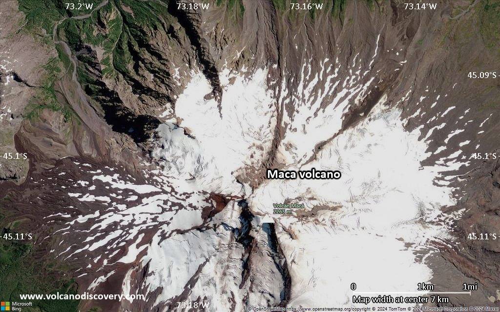
Satellite/aerial-type map of Maca volcano (scale of 5-10 km)
Satellite/aerial-type map of Maca volcano (scale of few kilometers)


