Contact | RSS | EN | DE | EL | ES | FR | IT | RU
Update Fri 09 Dec 17:07

Mandalagan Volcano

Updated: 27 avril. 2024 20:48 GMT -
complex volcano 1885 m / 6,184 ft
Philippines Centrales (Philippines), 10.65°N / 123.25°E
Condition actuelle: normal / en sommeil (1 sur 5)

Mandalagan volcano in northern Negros Island, Central Philippines, is an eroded dominantly andesitic-dacitic volcanic complex. It is formed by 7 volcanic edifices and has at least 5 craters of up to 2 km in diameter, some of which are probably calderas. The age of its last eruptions, which produced a thin basalt lava flow, is unknown.
Mandalagan has very active fumaroles in at least 11 locations.
One fumarole field is particularly powerful. It emits a high-temperature (106 degrees C) plume to 30 m height accompanied by a roaring noise like a high-pressure geothermal borehole.
Mandalagan volcano is part of the northern Negros volcanic arc which also contains Mt Silay (1534 m), Mt Kanlaon (2465 m). Mt Mandalagan volcanoes.

[smaller] [larger]
Style éruptif tipique: explosive
Eruptions du volcan Mandalagan : unknown

Derniers séismes proches

HeureMag. / ProfondeurDistance / Lieu
22 avril 23:56 (Manila)
1.6

1 km
28 km au nord-ouest Philippines: 009 km S 76° E of City Of Victorias (Negros Occidental)
Info

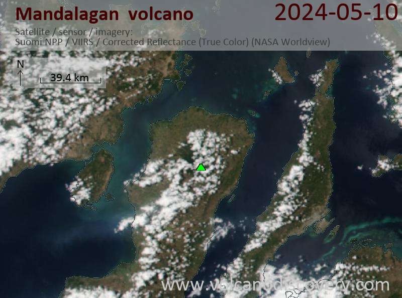
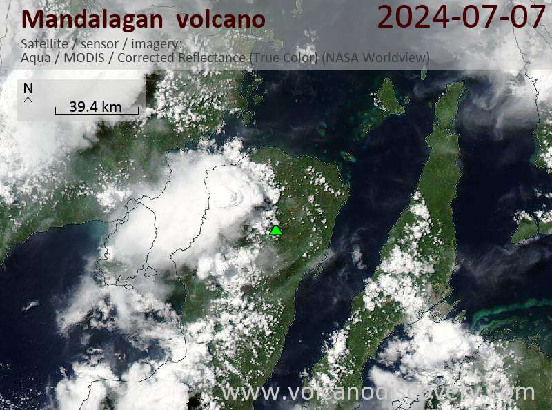
Latest satellite images

Mandalagan satellite image sat1Mandalagan satellite image sat2

No news in this list.

Sur cette page:

Découvrez notre app gratuite !
Volcanoes & Earthquakes - new app for Android
Android | Version iOS

Plus sur VolcanoDiscovery

Why is there advertising on this site?

Support us - Help us upgrade our services!

We truly love working to bring you the latest volcano and earthquake data from around the world. Maintaining our website and our free apps does require, however, considerable time and resources.
We need financing to increase hard- and software capacity as well as support our editor team. We're aiming to achieve uninterrupted service wherever an earthquake or volcano eruption unfolds, and your donations can make it happen! Every donation will be highly appreciated. If you find the information useful and would like to support our team in integrating further features, write great content, and in upgrading our soft- and hardware, please make a donation (PayPal or Online credit card payment).

Planned features:Thanks to your past donations, these features have been added recently:
Download and Upgrade the Volcanoes & Earthquakes app to get one of the fastest seismic and volcano alerts online:
Android | IOS
Thank you!
Copyright: VolcanoDiscovery ou autres sources indiquées.
Utilisation des documents: Les textes, les images et les vidéos de ce site internet sont protégées par copyright. Toute reproduction et tout usage sans accord préalable ne sont pas autorisés. Si vous désirez acquérir pour certains documents (photos, vidéos, textes ou autres) le droit de reproduction, d'édition et, plus généralement, de toute utilisation destinée à un usage public, qu'elle soit commerciale ou pas, vous êtes priés de nous contacter.
Volcanoes & Earthquakes
VolcanoDiscovery Home
Volcans | Séismes | Photos | Actualités | App
Adventure & Study Travel
Tours to Volcanoes and Volcanic Areas: walking tours, photo tours, study tours
Voyages |
Get our newsletter!
Company info
Contact | Mentions légales | Terms & conditions
Follow us
Follow us on facebook Follow us on Instagram Follow us on Twitter Visit our Youtube channel
EN | DE | EL | ES | FR | IT | RU
VolcanoDiscovery GmbH, Germany, Reg. nr.: HRB 103744, EU Tax Id: DE 297 465 123 owned and created by
Dr. Tom Pfeiffer, volcanologist, volcano photographer, tour organizer member of
IAVCEI
IAVCEI
Vulkanologische Gesellschaft
Volcanological Society
Ecotourism Greece
Ecotourism Greece
RUV insurance
Insured by R+V
VolcanoDiscovery © 2004- All Rights Reserved | Privacy - Changer Préférences