Nonda Volcano
Updated: 27 avril. 2024 20:34 GMT -
stratovolcano 760+ m / 2,493 ft
Îles Salomon, -7.67°S / 156.6°E
Condition actuelle: normal / en sommeil (1 sur 5)
Îles Salomon, -7.67°S / 156.6°E
Condition actuelle: normal / en sommeil (1 sur 5)
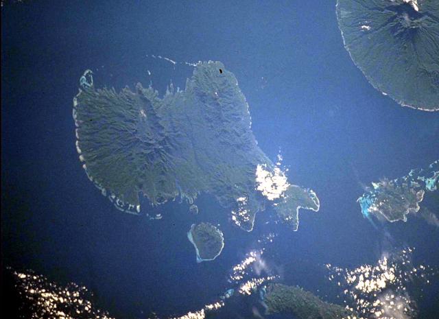
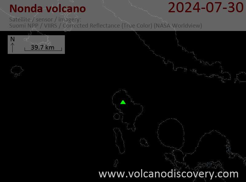
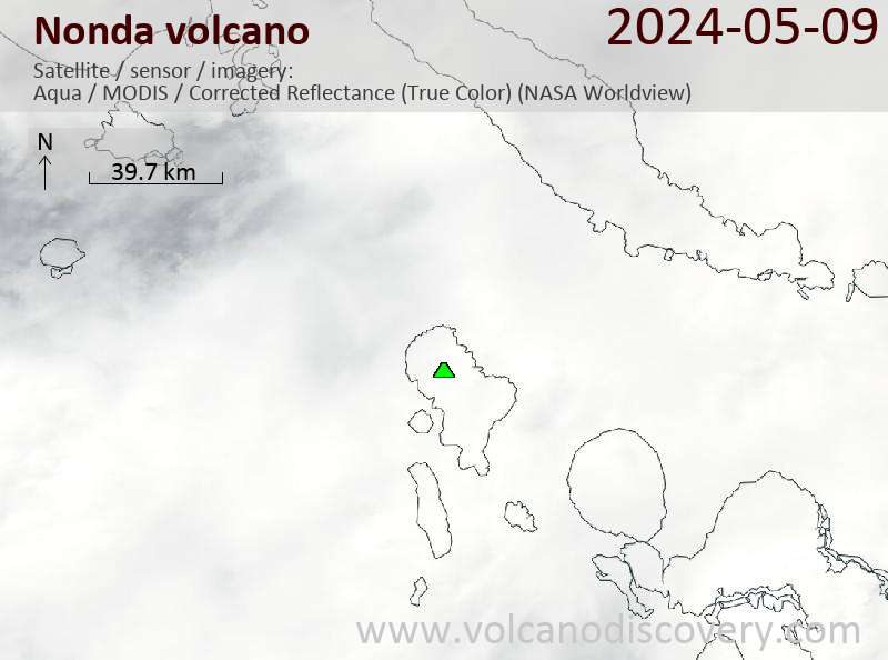
Vella Lavella Island (left center) in the New Georgia Islands in the Solomon Islands chain. North lies to the upper left in this NASA Space Shuttle image. Nonda volcano, the youngest volcanic feature of Vella Lavella Island, is a lava dome located within a well-preserved crater in the northern part of the island. The Paraso thermal area, the small light-colored area at the upper left-center portion of the island, displays solfataras, hot springs, and boiling mud pots. Kolombangara Island is at the upper right. (NASA Space Shuttle image ISS002-727A-2, 2001)
Nonda volcano is an andesitic stratovolcano on Vella Lavella Island in the Solomon Islands. Its lava dome inside a well-preserved crater is the youngest volcanic edifice on the island.
There are no confirmed historical eruptions, but inhabitants reported "smoke" and explosive activity in the vicinity of Nonda Hill at the time of a major earthquake in 1959.
[smaller] [larger]
Eruptions du volcan Nonda: unclear reports about possible activity in 1959
no recent eruptions, fumarolic activity
Derniers séismes proches
| Heure | Mag. / Profondeur | Distance / Lieu | |||
Introduction
Vella Lavella Island is thought to consist of overlapping extinct volcanoes of Pliocene to possibly Pleistocene age, but based on the fumarolic activity it is included in the list of potentially active volcanoes of the world. The Paraso thermal area has solfataras, hot springs, and boiling mud pots.Sources:
- Smithsonian / GVP volcano information
- Taylor G R (1976) "Residual volcanic emanations from the British Solomon Islands." In: Johnson R W (ed) "Volcanism in Australasia", Amsterdam, Elsevier, p 343-354
Nonda Volcano Photos

Lave fraîche de l'intérieur du lac inondant la croûte plus ancienne du lac. hawaï_e7042.jpg (Photo: Tom Pfeiffer)

Les vagues deviennent plus fortes en automne, inondant le quai peu profond du front de mer. La plupart des cormorans de bateau sont désormais fermés et leurs portes sont ...
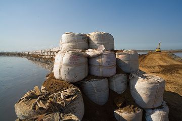
La zone connaissant des affaissements allant jusqu'à 20 cm par jour, les parois du barrage doivent être surélevées le plus rapidement possible pour éviter l'inondation de...

"Un vigoureux débordement du bord ouest a commencé à 10h30 (le 16 janvier) et a produit une inondation de lave qui s'est dirigée vers le sud-ouest." (Enku) (Photo: Paul R...


