| RSS | EN | DE | EL | ES | FR | IT | RU

Monowai Vulcano

Updated: 7 lug. 2025 13:32 GMT -
submarine volcano
Kermandec Islands, New Zealand, -25.89°S / -177.19°W
Summit height: -132 m / - 433 ft
Current status: normal or dormant (1 out of 5)
Last update: 15 dic 2021
Map view shows Monowai submarine volcano at the lower left, with subsidiary cones on its northern flank. A large submarine caldera lies at the upper right lies to the NE. The contour interval is 100 meters, and the resolution of the bathymetry data is 25 meters. The proprietary bathymetry data were obtained by scientists of the New Zealand National Institute of Water and Atmospheric Research (NIWA) during a 2005 New Zealand/American NOAA Ocean Explorer research expedition to the Kermadec-Tonga arc. Image courtesy of Ian Wright, 2005 (NIWA; http://oceanexplorer.noaa.gov/explorations/05fire)

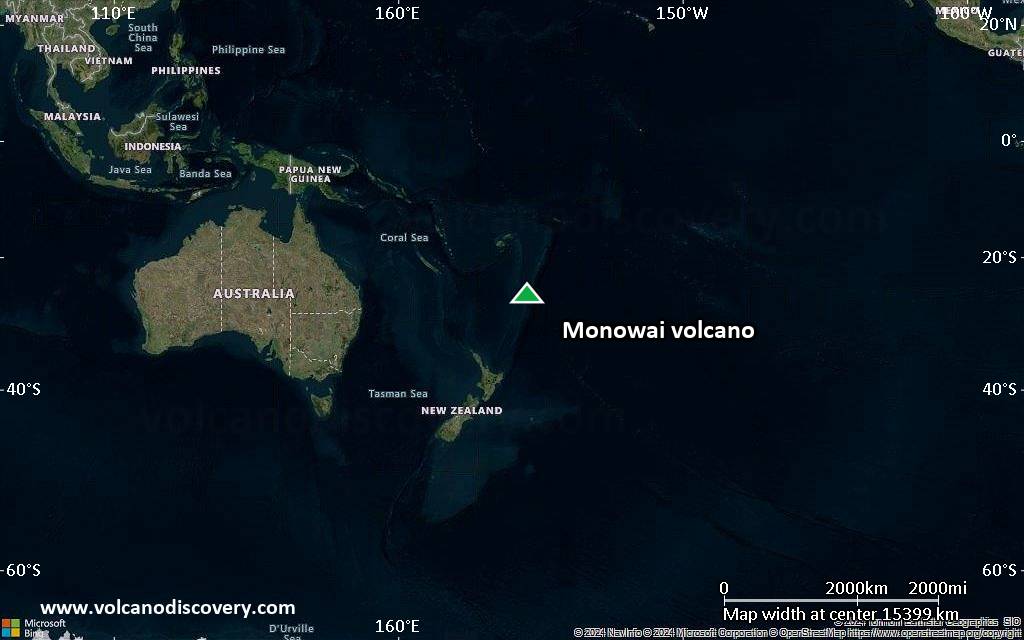
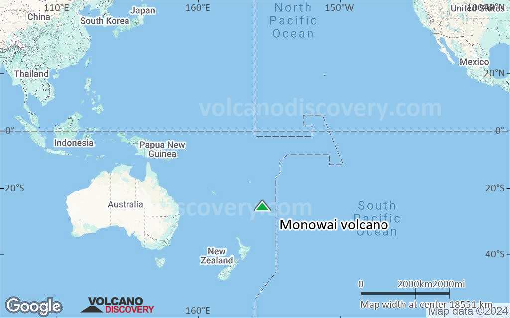
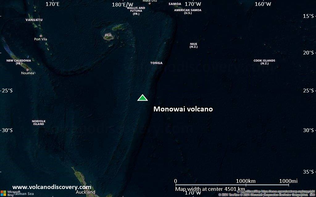
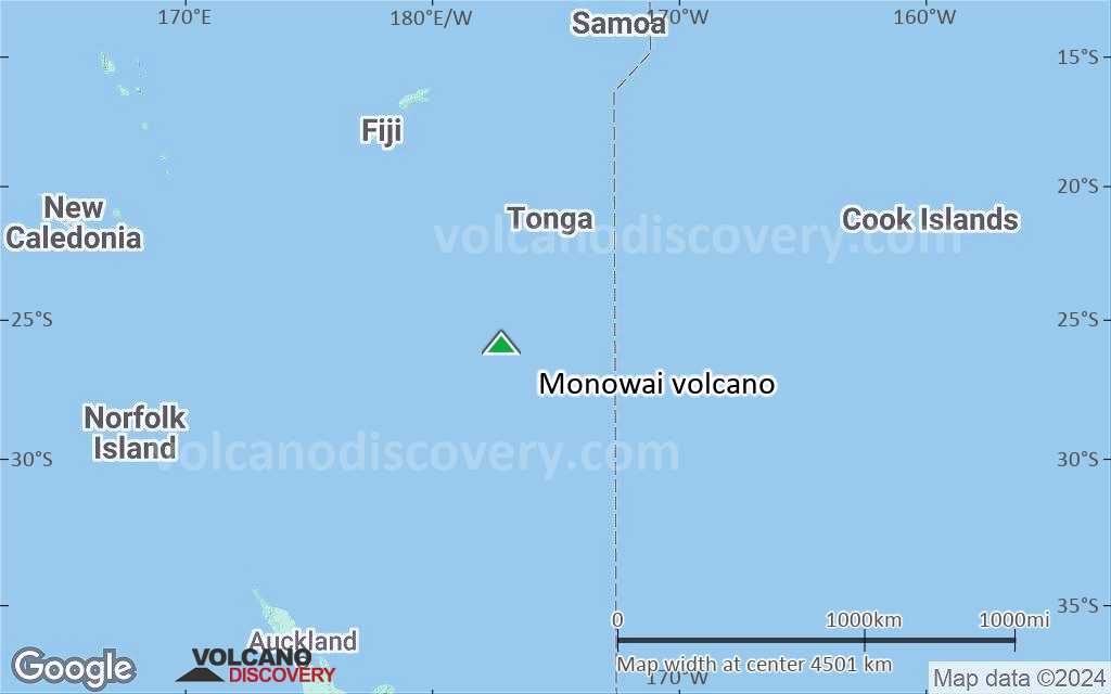
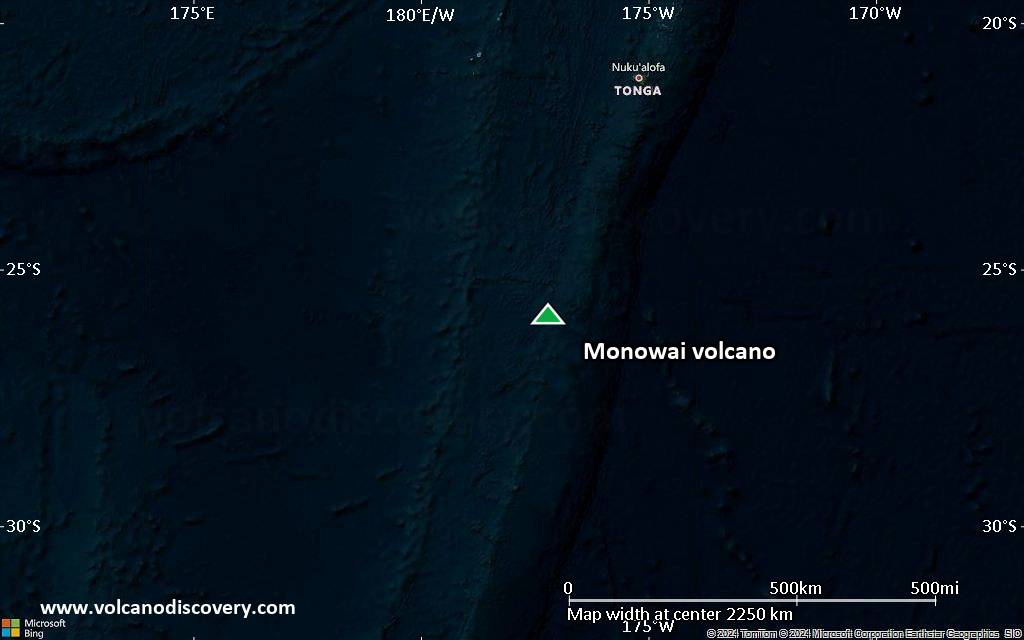
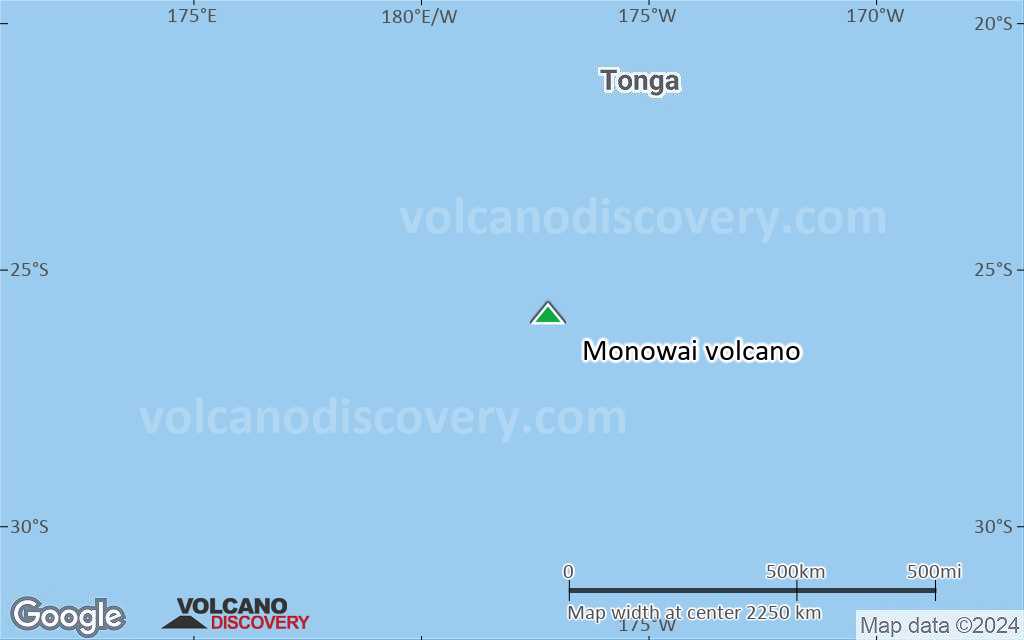
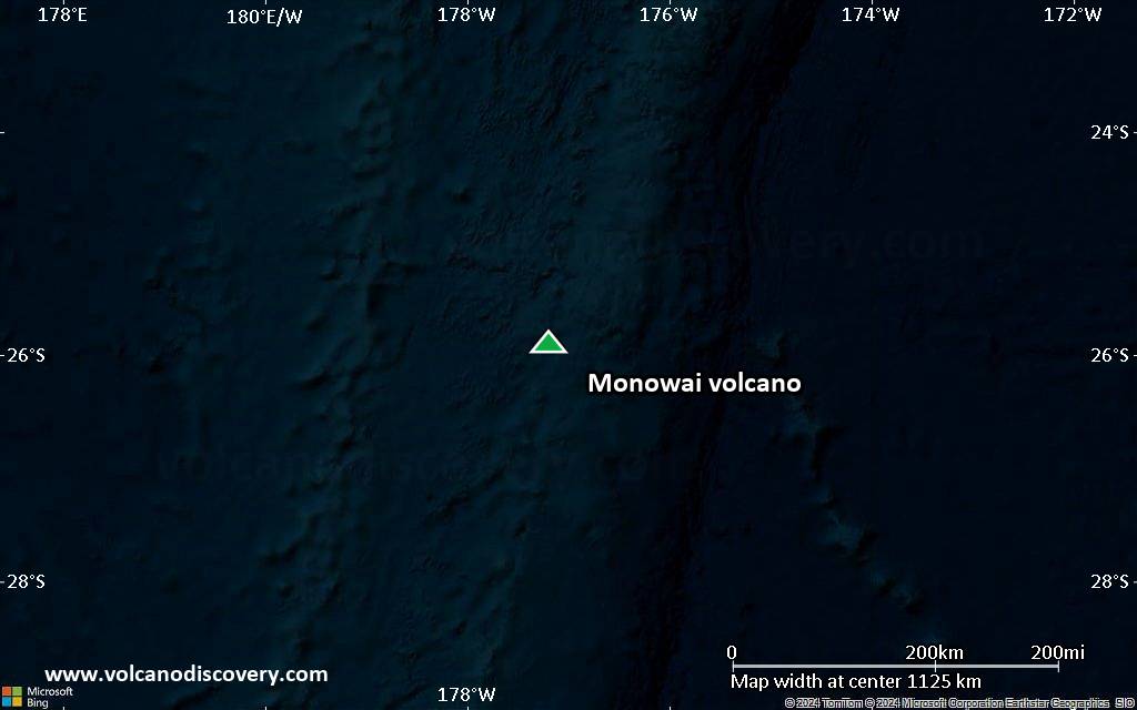
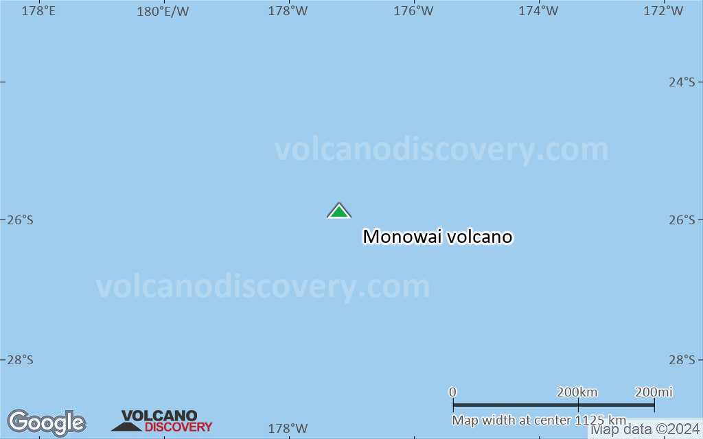
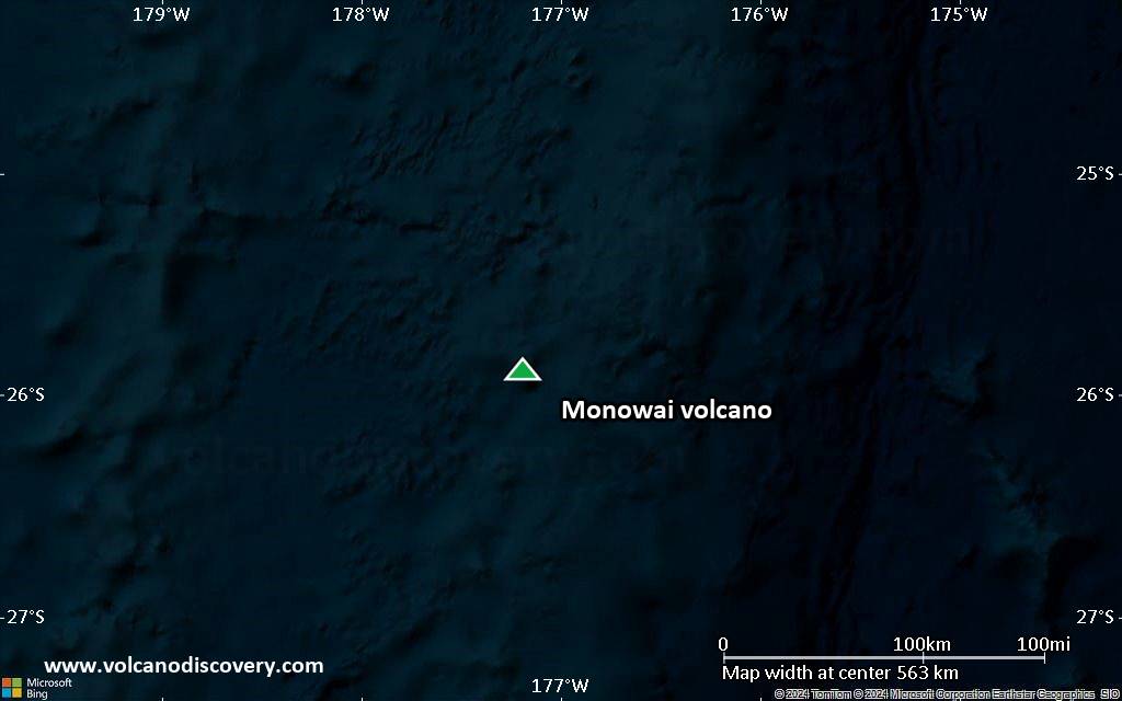
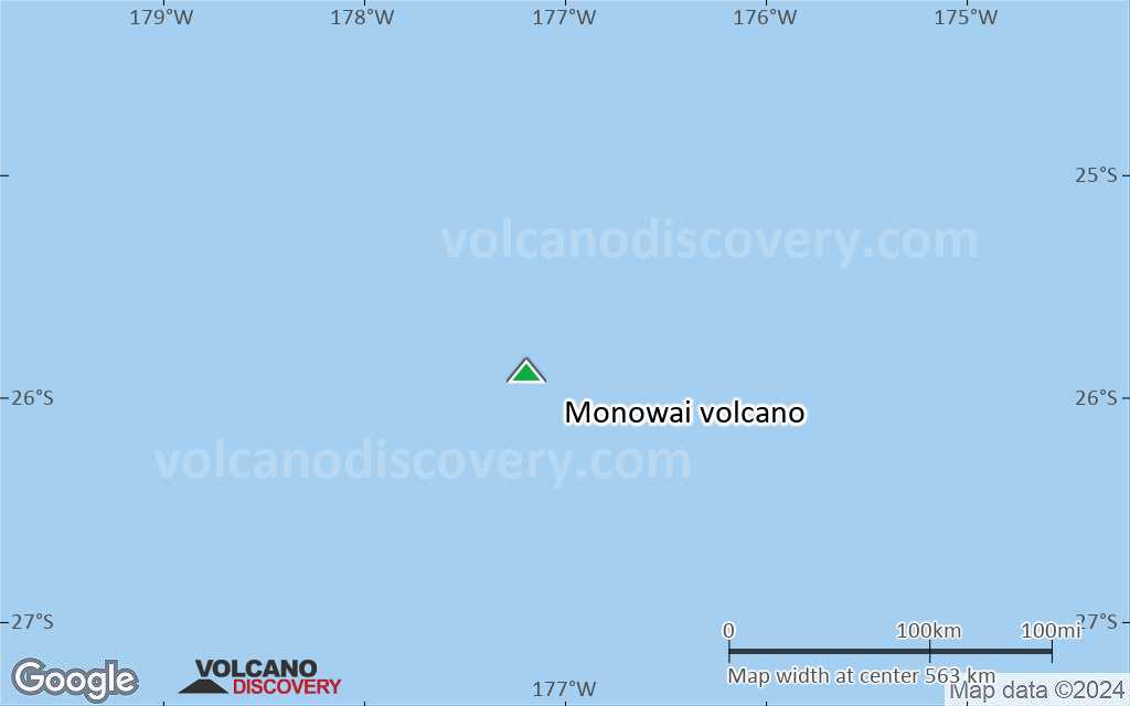
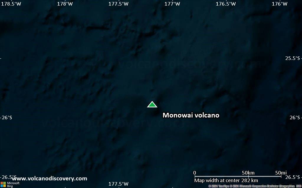
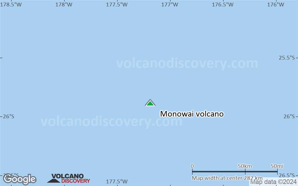
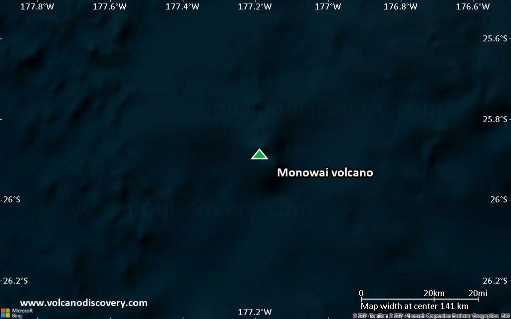
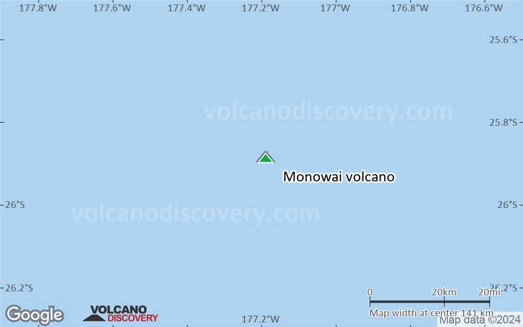
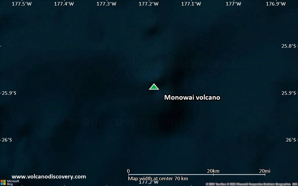
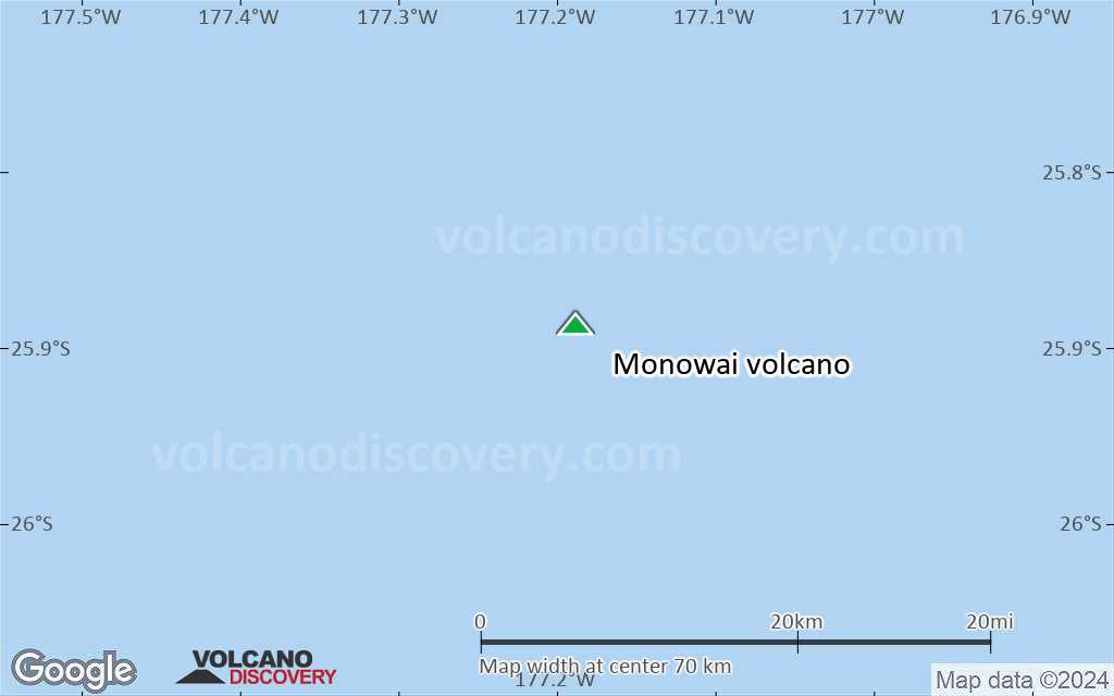
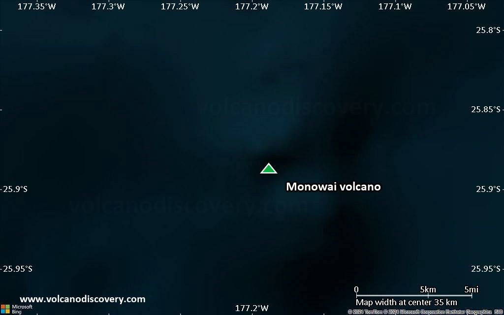
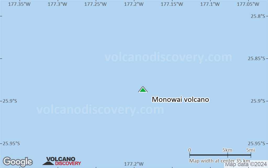
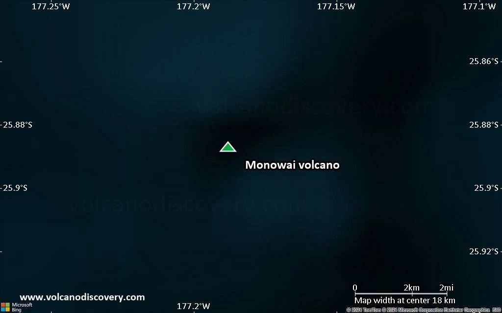
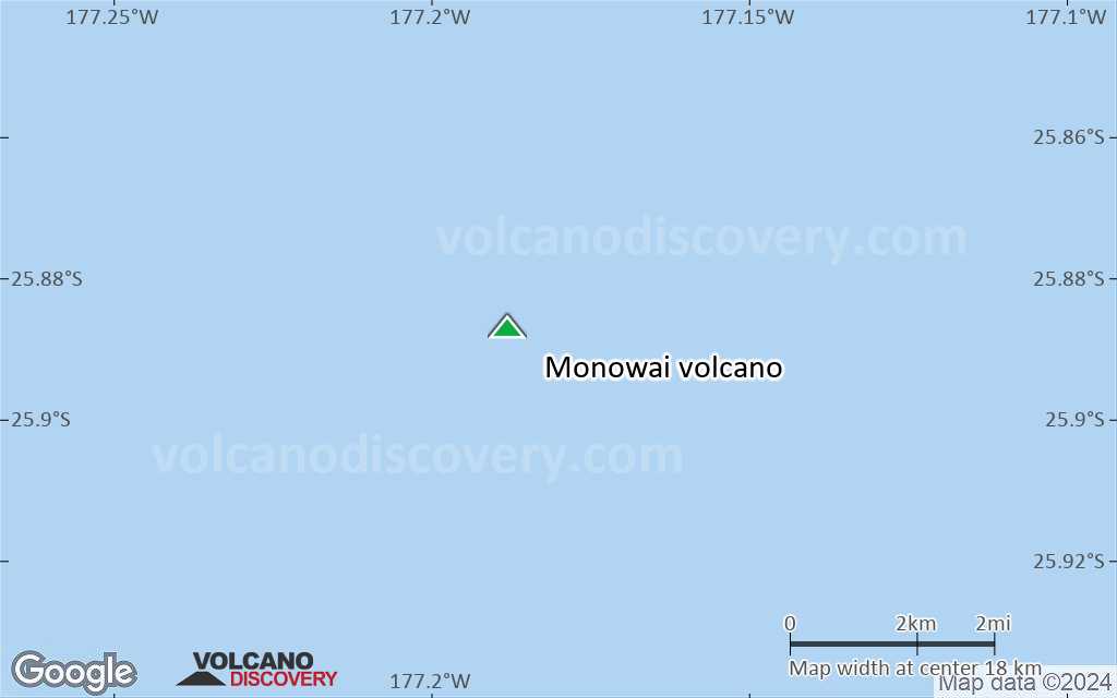
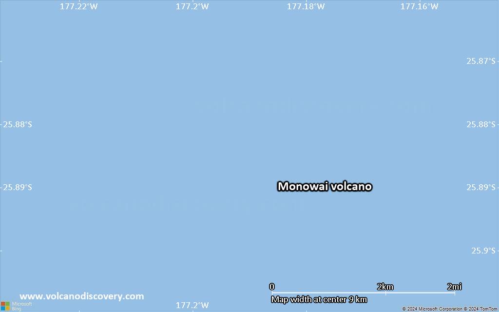
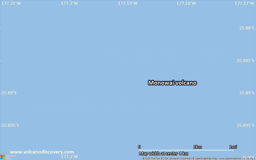
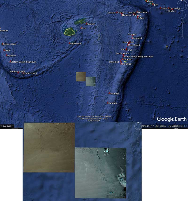
Monowai seamount (also known as Orion seamount) is one of the most active volcanoes of the Kermancec Arc. It has a large submarine caldera and is located halfway between Tonga and the Kermadec Islands. Eruptions at Monowai occur every few years.

[smaller] [larger]
Typical eruption style: explosive
Eruzioni del vulcano Monowai: 2008, 2006, 2005, 2003, 2002 (Nov), 2002 (May), 1999, 1997-98, 1997 (Apr), 1996, 1995, 1990-91, 1988, 1986, 1982, 1980, 1979, 1978, 1977 (Oct), 1977 (Apr), 1944(?)

Latest nearby earthquakes

Data e oraMag / Prof.Distanza / Posizione

Background

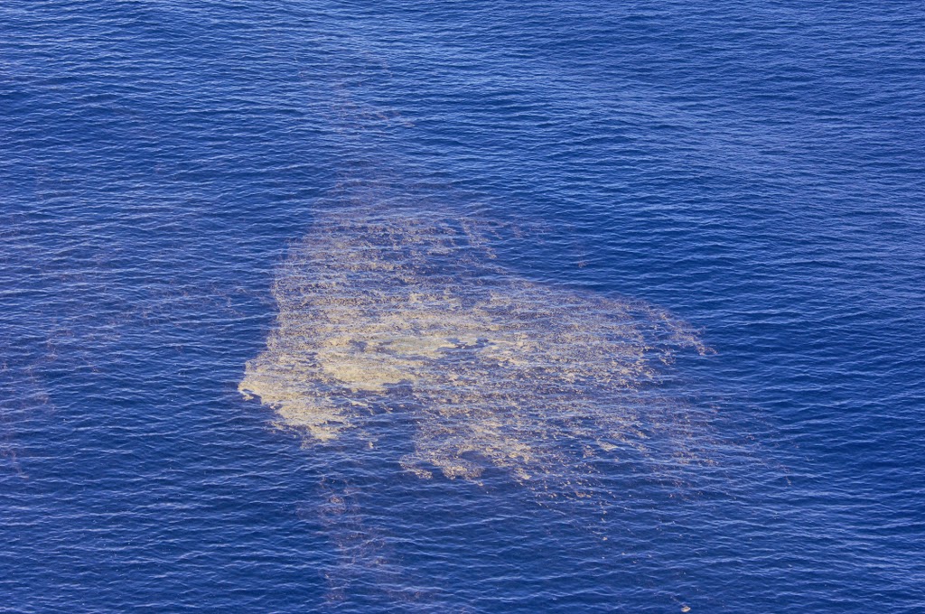
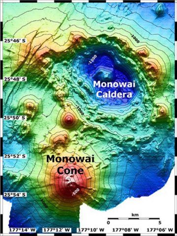
Monowai seamount, also known as Orion seamount, rises to within 100 m of the sea surface about halfway between the Kermadec and Tonga island groups. The volcano lies at the southern end of the Tonga Ridge and is slightly offset from the Kermadec volcanoes. Small parasitic cones occur on the north and west flanks of the basaltic submarine volcano, which rises from a depth of about 1500 m and was named for one of the New Zealand Navy bathymetric survey ships that documented its morphology.
A large 8.5 x 11 km wide submarine caldera with a depth of more than 1500 m lies to the NNE. Numerous eruptions from Monowai have been detected from submarine acoustic signals since it was first recognized as a volcano in 1977. A shoal that had been reported in 1944 may have been a pumice raft or water disturbance due to degassing. Surface observations have included water discoloration, vigorous gas bubbling, and areas of upwelling water, sometimes accompanied by rumbling noises.
Source: Smithsonian / GVP volcano information

Eruzioni vulcaniche significative: Monowai volcano

In the past 10,000 years, Monowai has had at least 25 confirmed eruptions, all documented by historical records or observations. Additionally, there are 2 uncertain or discredited eruptions from Monowai volcano.
The table below lists all known eruptions (date in bold face) of Monowai volcano since around 1900. Updates on the most recent volcanic activity of Monowai can be found on the news page of Monowai volcano.
DataNotaVEIDecedutiDanni
?? 2016 Nov 11 - Nov 12
Eruzione incerta
0
sconosciuto
2014 Ott 16 - Nov 5Submarine
Osservazioni/documentazioni storiche
0
sconosciuto
2014 Gen 1Summit
Osservazioni/documentazioni storiche
1
sconosciuto
2012 Ago 3 - Ago 19Submarine
Osservazioni/documentazioni storiche
0
sconosciuto
2011 Mag 17 - Mag 22Summit Crater
Osservazioni/documentazioni storiche
0
sconosciuto
2009 Mag 4 ±3 d. - Dic 16 ±4 d.
Osservazioni/documentazioni storiche
0
sconosciuto
2008 Feb 8 ?
Osservazioni/documentazioni storiche
0
sconosciuto
2006 Dic 12 - 2007 Nov 4 ±3 d.
Osservazioni/documentazioni storiche
0
sconosciuto
2005 Mar 2 - 2006 Giu 27
Osservazioni/documentazioni storiche
0
sconosciuto
2003 Apr 10 - 2004 Set 16 ±15 d.
Osservazioni/documentazioni storiche
0
sconosciuto
2002 Nov 1 - Nov 24
Osservazioni/documentazioni storiche
0
sconosciuto
2002 Mag 24
Osservazioni/documentazioni storiche
0
sconosciuto
1999 Giu 6 - Giu 11
Osservazioni/documentazioni storiche
0
sconosciuto
1997 Dic 15 - 1998 Feb 4 ?
Osservazioni/documentazioni storiche
0
sconosciuto
1997 Apr 18 - Apr 21
Osservazioni/documentazioni storiche
0
sconosciuto
1996 Set 20 - Set 22
Osservazioni/documentazioni storiche
0
sconosciuto
1995 Nov 27 - Nov 30
Osservazioni/documentazioni storiche
0
sconosciuto
1990 Mag 30 - 1991 Mar 25
Osservazioni/documentazioni storiche
0
sconosciuto
1988 Set 8
Osservazioni/documentazioni storiche
0
sconosciuto
1986 Giu 16 ±15 d.
Osservazioni/documentazioni storiche
0
sconosciuto
1982 Mag 16 ±15 d.
Osservazioni/documentazioni storiche
0
sconosciuto
1980 Gen 16 ±15 d.
Osservazioni/documentazioni storiche
0
sconosciuto
1979 Feb 16 ±15 d. - Apr 19 ?
Osservazioni/documentazioni storiche
1
sconosciuto
1978 Feb 16 ±15 d. - Lug 16 ±15 d.
Osservazioni/documentazioni storiche
0
sconosciuto
1977 Ott 17 - Ott 27 ?
Osservazioni/documentazioni storiche
0
sconosciuto
1977 Apr 16 ±15 d.
Osservazioni/documentazioni storiche
0
sconosciuto
?? 1944
Eruzione incerta
0
sconosciuto
Remark:
Our list of volcanic eruptions closely follows the database of eruptions of the Smithsonian's Global Volcanism Project (GVP), the internationally most recognized data source for volcanic eruptions, but also includes significant eruptive episodes or related volcano events. "Volcanic eruptions" are usually to be understood as sequences of individual eruptive episodes that can follow each other, or even overlap (if several vents are involved), and can last many years, decades or even longer. For example, the current activity of Stromboli volcano is understood as a single eruption that has been ongoing since 1934.
Fonti: NOAA National Centers for Environmental Information (NCEI), Global Significant Volcanic Eruptions Database. doi:10.7289/V5TD9V7K | Global Volcanism Project / Smithsonian Institution

Monowai Volcano FAQ

+When was the last eruption of Monowai volcano?

+How often does Monowai volcano erupt?

+How active is Monowai volcano at present?

+When was the largest eruption of Monowai volcano?

Ultime immagini satellitari

Monowai immagine satellitare sat1Monowai immagine satellitare sat2

Monowai Vulcano Mappe

Below is a selection of maps showing the location and surroundings of the volcano at various resolutions based on aerial-imagery / terrain maps. Feel free to use them for non-commercial purposes on your blog or website as long as you credit them with a link back to this page (click to copy it).
Satellite/aerial-type map of Monowai volcano (world scale)
Terrain-type map of Monowai volcano (world scale)
Satellite/aerial-type map of Monowai volcano (region scale large)
Terrain-type map of Monowai volcano (region scale large)
Satellite/aerial-type map of Monowai volcano (region scale medium)
Terrain-type map of Monowai volcano (region scale medium)
Satellite/aerial-type map of Monowai volcano (region scale small)
Terrain-type map of Monowai volcano (region scale small)
Satellite/aerial-type map of Monowai volcano (local scale large)
Terrain-type map of Monowai volcano (local scale large)
Satellite/aerial-type map of Monowai volcano (local scale medium)
Terrain-type map of Monowai volcano (local scale medium)
Satellite/aerial-type map of Monowai volcano (local scale small)
Terrain-type map of Monowai volcano (local scale small)
Satellite/aerial-type map of Monowai volcano (scale of 10s of km)
Terrain-type map of Monowai volcano (scale of 10s of km)
Satellite/aerial-type map of Monowai volcano (scale of 20-40 km)
Terrain-type map of Monowai volcano (scale of 20-40 km)
Satellite/aerial-type map of Monowai volcano (scale of approx. 10-20 km)
Terrain-type map of Monowai volcano (scale of approx. 10-20 km)
Satellite/aerial-type map of Monowai volcano (scale of 5-10 km)
Satellite/aerial-type map of Monowai volcano (scale of few kilometers)
Volcanoes & Earthquakes - new app for Android
Guaranteed tours
1-17 ago 2025: Volcanoes and Spices - Sulawesi/Halmahera (Indonesia)
1-14 ott 2025: Desert, salt and volcanoes - Danakil desert (Ethiopia)
4-12 ott 2025: From Stromboli to Etna - Eolian Islands + Etna volcano
6-21 ott 2025: From Krakatau to Bali - Java (Indonesia)
3-19 nov 2025: Volcanoes and Spices - Sulawesi/Halmahera (Indonesia)
= spaces available   = guaranteed   = few spaces left   = booked out
Mon, 28 Nov 2016, 17:50

Submarine eruption near Tonga: Pumice raft observed on 16 Nov, but origin volcano remains unknown

Location of the observed pumice rafts (image: GeoNet)
It is still unclear which volcano produced the pumice raft observed west of Minerva Reef southwest of Tonga (Pacific Ocean) by a New Zealand Royal Air Force aircraft on 16 November. Leggi tutto
Fri, 14 Nov 2014, 07:31

Vulcano sottomarino Monovai (isole Kermandec): eruzioni avvennero in ottobre 2014

Pumice raft observed on 31 Oct near Monovai seamount (RNZAF via GeoNet)
Gli scienziati della Nuova Zelanda ha concluso che molto probabilmente 3 eruzioni sottomarine si è verificato durante questo mese di ottobre presso il vulcano sottomarino superficiale, uno di quelli più attivi dell'Arco Kermadec-Tonga. ... Leggi tutto

Su questa pagina:

Try our free app!
Volcanoes & Earthquakes - new app for Android
Android | iOS version

More on VolcanoDiscovery

Why is there advertising on this site?

Support us - Help us upgrade our services!

We truly love working to bring you the latest volcano and earthquake data from around the world. Maintaining our website and our free apps does require, however, considerable time and resources.
We need financing to increase hard- and software capacity as well as support our editor team. We're aiming to achieve uninterrupted service wherever an earthquake or volcano eruption unfolds, and your donations can make it happen! Every donation will be highly appreciated. If you find the information useful and would like to support our team in integrating further features, write great content, and in upgrading our soft- and hardware, please make a donation (PayPal).

Planned features:Thanks to your past donations, these features have been added recently:
Download and Upgrade the Volcanoes & Earthquakes app to get one of the fastest seismic and volcano alerts online:
Android | IOS
Thank you!
Sources: VolcanoDiscovery / VolcanoAdventures and other sources as noted.
Use of material: Most text and images on our websites are owned by us. Re-use is generally not permitted without authorization. Contact us for licensing rights.
Volcanoes & Earthquakes
VolcanoDiscovery Home
Vulcani | Earthquakes | Photos | News | | Shop | App
Adventure & Study Travel
Tours to Volcanoes and Volcanic Areas: walking tours, photo tours, study tours
Tours & Dates | FAQ | About us
Get our newsletter!
Company info
Contact | Legal info | Terms & conditions
Follow us
Follow us on facebook Follow us on Instagram Follow us on Bluesky Follow us on Twitter Visit our Youtube channel
EN | DE | EL | ES | FR | IT | RU
VolcanoDiscovery GmbH, Germany, Reg. nr.: HRB 103744, EU Tax Id: DE 297 465 123 owned and created by
Dr. Tom Pfeiffer, volcanologist, volcano photographer, tour organizer member of
IAVCEI
IAVCEI
Vulkanologische Gesellschaft
Volcanological Society
Ecotourism Greece
Ecotourism Greece
RUV insurance
Insured by R+V
VolcanoDiscovery © 2004- All Rights Reserved | Privacy - Cookie Settings