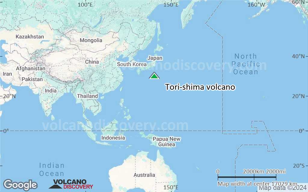
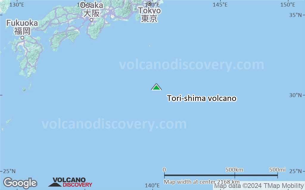
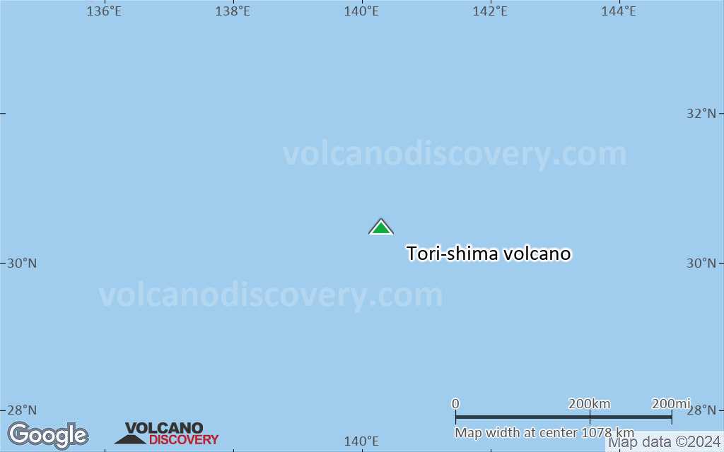
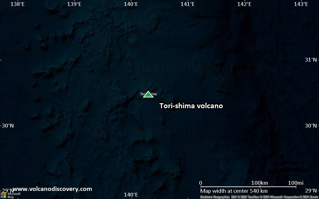
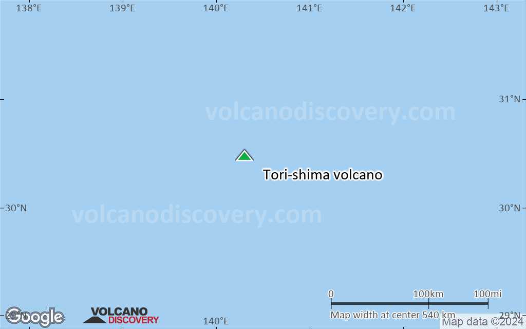
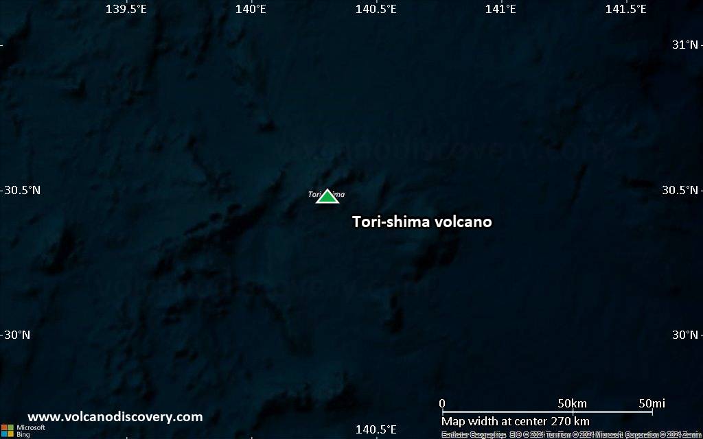
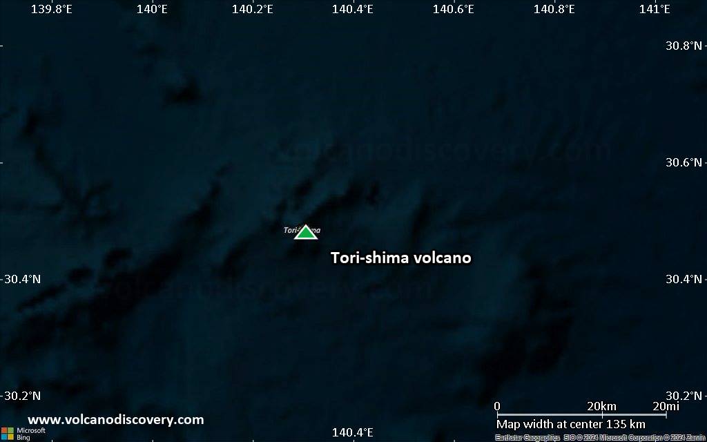
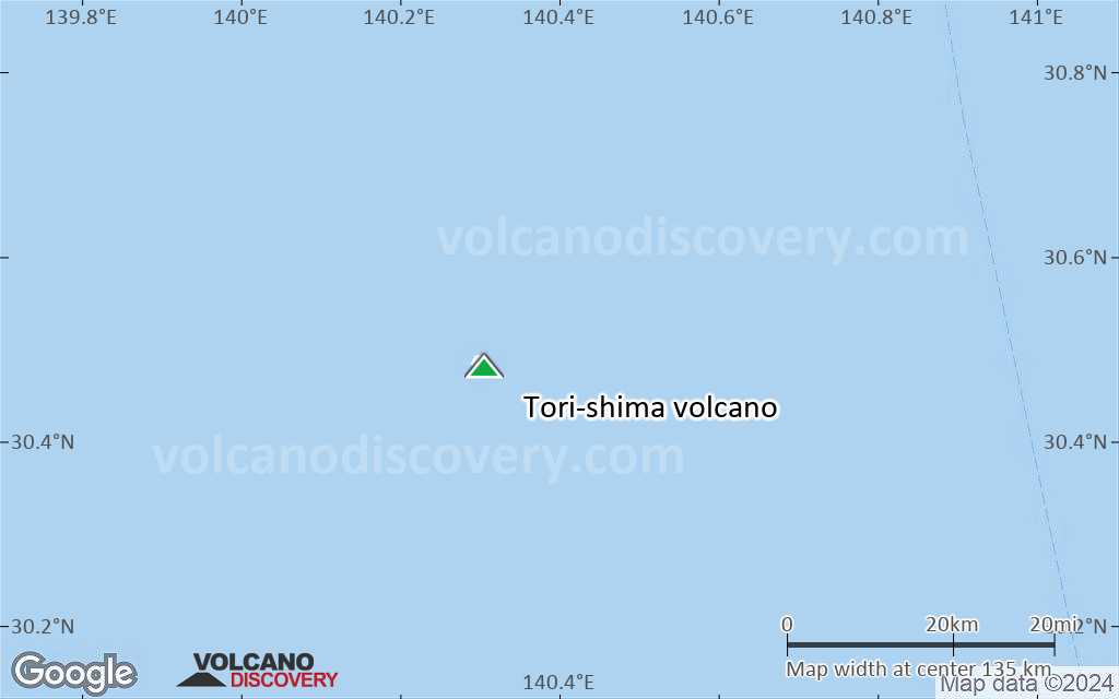
| RSS | EN | DE | EL | ES | FR | IT | RU

Tori-shima Vulcano

Updated: 5 lug. 2025 18:07 GMT -
stratovolcano
Isole Izu (Giappone), 30.48°N / 140.31°E
Summit height: 394 m / 1,293 ft
Current status: normal or dormant (1 out of 5)
Last update: 9 dic 2021 (Smithsonian / USGS Weekly Volcanic Activity Report)

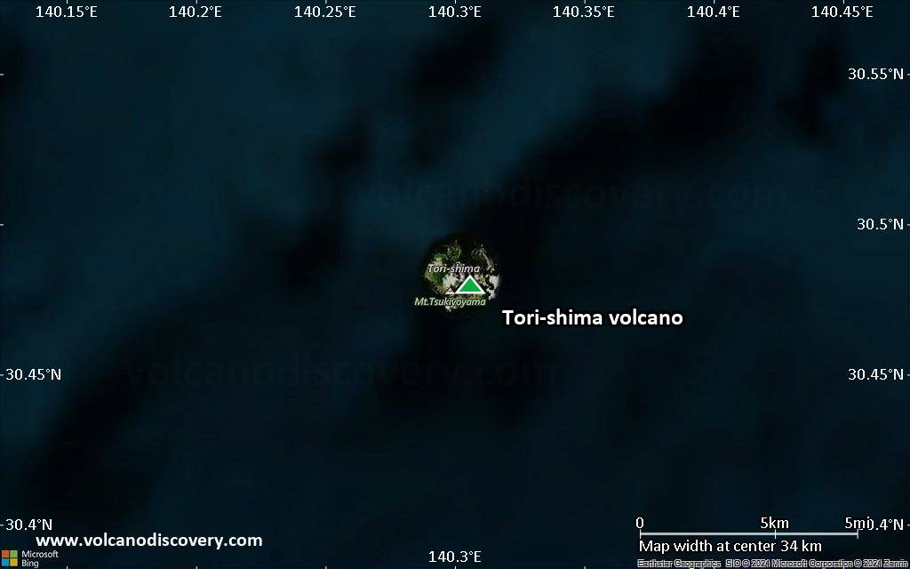
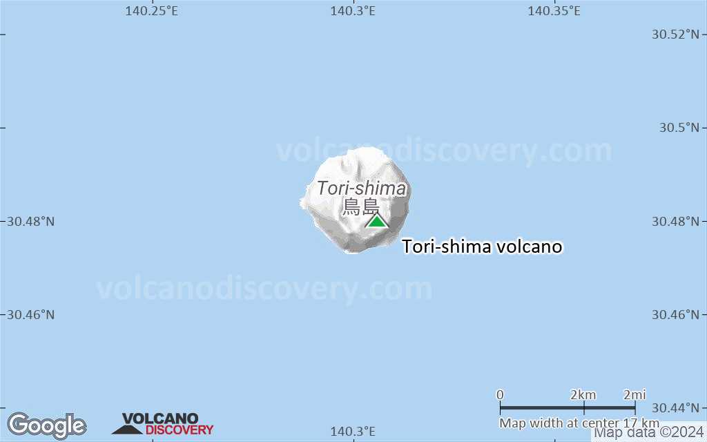
Tori-shima (鳥島 Torishima or Izu-no-Torishima) is a stratovolcano forming a small 2.7 km wide circular island in the southern Izu volcanic chain. Historical eruptions have occurred from summit and flank vents near the north coast as well as from submarine vents.
Several other Japanese island volcanoes are called Tori-shima ("Bird Island").

[smaller] [larger]
Typical eruption style: explosive
Eruzioni del vulcano Tori-shima: 2002, 1975, 1965, 1939, 1902, 1871

Latest nearby earthquakes

Data e oraMag / Prof.Distanza / Posizione

Background

Torishima volcano is capped by an unvegetated summit cone which formed during an eruption in 1939. Fresh lava flows from this eruption form part of the northern coastline of the basaltic-to-dacitic edifice.
The main cone contains a 1.5-km-wide caldera with 2 central cones, with Iwo-yama being the highest. A 6-8 km wide submarine caldera belonging to an older volcanic edifice is located immediately to the north of Tori-shima.

Tori-shima Volcano Photos

Eruzioni vulcaniche significative: Tori-shima volcano

In the past 10,000 years, Tori-shima has had at least 6 confirmed eruptions, all documented by historical records or observations.
There is one uncertain or discredited eruption in 2013 from Tori-shima volcano.
The table below lists all known eruptions (date in bold face) of Tori-shima volcano in historic times and during the past 10,000 years. Updates on the most recent volcanic activity of Tori-shima can be found on the news page of Tori-shima volcano.
DataNotaVEIDecedutiDanni
?? 2013 Lug 6
Eruzione incerta
Osservazioni/documentazioni storiche
2
sconosciuto
2002 Ago 12 - Ago 20Iwo-yama
Osservazioni/documentazioni storiche
2
sconosciuto
1975 Ott 29 km S of Torishima
Osservazioni/documentazioni storiche
2
sconosciuto
1965 Nov 13 - Dic 5 ±4 d.
Osservazioni/documentazioni storiche
0
sconosciuto
1939 Ago 17 - Dic 26 ±5 d.North side of 1902 crater (Iwo-yama)
Osservazioni/documentazioni storiche
3
sconosciuto
1939 Ago 17
(eruzione 1939 Ago 17 - Dic 26 ±5 d.)
Osservazioni/documentazioni storiche
22
sconosciuto
Info
1902 Ago 7 - Ago 24Komochi-yama, N & SW offshore flanks
Osservazioni/documentazioni storiche
3
sconosciuto
1902 Ago 7
(eruzione 1902 Ago 7 - Ago 24)
Osservazioni/documentazioni storiche
3125
sconosciuto
Info
1871 Apr
Osservazioni/documentazioni storiche
0
sconosciuto
Remark:
Our list of volcanic eruptions closely follows the database of eruptions of the Smithsonian's Global Volcanism Project (GVP), the internationally most recognized data source for volcanic eruptions, but also includes significant eruptive episodes or related volcano events. "Volcanic eruptions" are usually to be understood as sequences of individual eruptive episodes that can follow each other, or even overlap (if several vents are involved), and can last many years, decades or even longer. For example, the current activity of Stromboli volcano is understood as a single eruption that has been ongoing since 1934.
Fonti: NOAA National Centers for Environmental Information (NCEI), Global Significant Volcanic Eruptions Database. doi:10.7289/V5TD9V7K | Global Volcanism Project / Smithsonian Institution

Eruzioni del vulcano Tori-shima


2002 eruption
A passing sailing boat observed an eruption of Torishima volcano on 11 August 2002. An overflight the following day observed ash rising from a vent in the SW crater wall of the summit crater Iwo-yama. In an area extending 20 km W of the island, the sea water was discolored. The eruption enlarged the summit crater and ended after 10 days.

Tori-shima Volcano FAQ

+When was the last eruption of Tori-shima volcano?

+How often does Tori-shima volcano erupt?

+How active is Tori-shima volcano at present?

+When was the largest eruption of Tori-shima volcano?

Ultime immagini satellitari

Torishima immagine satellitare sat1Torishima immagine satellitare sat2

Tori-shima Vulcano Mappe

Below is a selection of maps showing the location and surroundings of the volcano at various resolutions based on aerial-imagery / terrain maps. Feel free to use them for non-commercial purposes on your blog or website as long as you credit them with a link back to this page (click to copy it).
Satellite/aerial-type map of Tori-shima volcano (world scale)
Terrain-type map of Tori-shima volcano (world scale)
Satellite/aerial-type map of Tori-shima volcano (region scale large)
Terrain-type map of Tori-shima volcano (region scale large)
Satellite/aerial-type map of Tori-shima volcano (region scale medium)
Terrain-type map of Tori-shima volcano (region scale medium)
Satellite/aerial-type map of Tori-shima volcano (region scale small)
Terrain-type map of Tori-shima volcano (region scale small)
Satellite/aerial-type map of Tori-shima volcano (local scale large)
Terrain-type map of Tori-shima volcano (local scale large)
Satellite/aerial-type map of Tori-shima volcano (local scale medium)
Terrain-type map of Tori-shima volcano (local scale medium)
Satellite/aerial-type map of Tori-shima volcano (local scale small)
Terrain-type map of Tori-shima volcano (local scale small)
Satellite/aerial-type map of Tori-shima volcano (scale of 10s of km)
Terrain-type map of Tori-shima volcano (scale of 10s of km)
Satellite/aerial-type map of Tori-shima volcano (scale of 20-40 km)
Terrain-type map of Tori-shima volcano (scale of 20-40 km)
Satellite/aerial-type map of Tori-shima volcano (scale of approx. 10-20 km)
Terrain-type map of Tori-shima volcano (scale of approx. 10-20 km)
Satellite/aerial-type map of Tori-shima volcano (scale of 5-10 km)
Satellite/aerial-type map of Tori-shima volcano (scale of few kilometers)
Volcanoes & Earthquakes - new app for Android
Guaranteed tours
1-17 ago 2025: Volcanoes and Spices - Sulawesi/Halmahera (Indonesia)
1-14 ott 2025: Desert, salt and volcanoes - Danakil desert (Ethiopia)
4-12 ott 2025: From Stromboli to Etna - Eolian Islands + Etna volcano
6-21 ott 2025: From Krakatau to Bali - Java (Indonesia)
3-19 nov 2025: Volcanoes and Spices - Sulawesi/Halmahera (Indonesia)
= spaces available   = guaranteed   = few spaces left   = booked out
Wed, 3 Jul 2013, 06:00

Izu-Torishima volcano (Japan) - Smithsonian / USGS Weekly Volcanic Activity Report for 3 July-9 July 2013 (New Activity / Unrest)

According to the Tokyo VAAC a pilot observed an ash plume from Tori-shima drifting at an altitude of 2.1 km (7,000 ft) a.s.l. on 6 July. ... Leggi tutto
Wed, 21 Aug 2002, 06:00

Izu-Torishima volcano (Japan) - Smithsonian / USGS Weekly Volcanic Activity Report for 21 August-27 August 2002 (Continuing Activity)

An eruption began at Tori-shima on 11 August and an aerial inspection by the Japan Coast Guard on 21 August revealed that "smoke" was no longer rising from the volcano as it had been on the 14th. Weak steaming was visible in the southern part of the crater. In addition, the sea surface around the island was faintly discolored. ... Leggi tutto

Su questa pagina:

Try our free app!
Volcanoes & Earthquakes - new app for Android
Android | iOS version

More on VolcanoDiscovery

Why is there advertising on this site?

Support us - Help us upgrade our services!

We truly love working to bring you the latest volcano and earthquake data from around the world. Maintaining our website and our free apps does require, however, considerable time and resources.
We need financing to increase hard- and software capacity as well as support our editor team. We're aiming to achieve uninterrupted service wherever an earthquake or volcano eruption unfolds, and your donations can make it happen! Every donation will be highly appreciated. If you find the information useful and would like to support our team in integrating further features, write great content, and in upgrading our soft- and hardware, please make a donation (PayPal).

Planned features:Thanks to your past donations, these features have been added recently:
Download and Upgrade the Volcanoes & Earthquakes app to get one of the fastest seismic and volcano alerts online:
Android | IOS
Thank you!
Sources: VolcanoDiscovery / VolcanoAdventures and other sources as noted.
Use of material: Most text and images on our websites are owned by us. Re-use is generally not permitted without authorization. Contact us for licensing rights.
Volcanoes & Earthquakes
VolcanoDiscovery Home
Vulcani | Earthquakes | Photos | News | | Shop | App
Adventure & Study Travel
Tours to Volcanoes and Volcanic Areas: walking tours, photo tours, study tours
Tours & Dates | FAQ | About us
Get our newsletter!
Company info
Contact | Legal info | Terms & conditions
Follow us
Follow us on facebook Follow us on Instagram Follow us on Bluesky Follow us on Twitter Visit our Youtube channel
EN | DE | EL | ES | FR | IT | RU
VolcanoDiscovery GmbH, Germany, Reg. nr.: HRB 103744, EU Tax Id: DE 297 465 123 owned and created by
Dr. Tom Pfeiffer, volcanologist, volcano photographer, tour organizer member of
IAVCEI
IAVCEI
Vulkanologische Gesellschaft
Volcanological Society
Ecotourism Greece
Ecotourism Greece
RUV insurance
Insured by R+V
VolcanoDiscovery © 2004- All Rights Reserved | Privacy - Cookie Settings