Dana Volcano
Updated: 26. Apr. 2024 17:32 GMT -
Stratovolcano 1354 m / 4,442 ft
United States, Alaska Peninsula, 55.64°N / -161.21°W
Aktueller Status: normal / ruhend (1 von 5)
United States, Alaska Peninsula, 55.64°N / -161.21°W
Aktueller Status: normal / ruhend (1 von 5)
[smaller] [larger]
Ausbrüche des Dana: 1890 BC (?)
Letzte Erdbeben in der Nähe
| Uhrzeit | Mag. / Tiefe | Entfernung / Ort | |||
Beschreibung
Mount Dana is a small calc-alkaline volcano NE of Canoe Bay inlet at the head of Pavlof Bay consisting of an apron of volcaniclastic debris surrounding a central dome complex. The 1354-m high point is located at the north rim of a 1.5 x 2 km crater, whose SW rim exposes Mesozoic sedimentary rocks. Andesitic lava domes occur on the west crater rim and as a small mound east of Knutson Lake inside the crater. Mount Dana is the source of a mid-Holocene block-and-ash flow that reached the sea at Canoe Bay. No historical eruptions are known from Dana, but a 200-m-wide tufa mound and several cold springs are located on the SW flank of the volcano.---
Smithsonian / GVP volcano information
Dana Volcano Photos
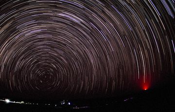
Mondlose Nacht über der Danakil-Wüste mit Blick nach Norden auf den tief über dem Horizont stehenden Polaris. Rechts ist das Leuchten des fernen Vulkans Erta Ale zu sehen...
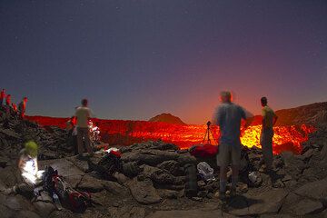
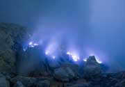
Touristen, die den Lavasee des Erta Ale Vulkans bei Nacht beobachten (Äthiopien, Danakilwüste) (Photo: Tom Pfeiffer)
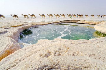
Die warme Wasserquelle bildet einen sprudelnden grünen Wasserteich mitten in der Salzebene, dem Assale-See, der Danakil-Wüste, Äthiopien. Eine Kamelkarawane kommt auf dem...

Bizarre grüne und gelbe Salzteiche und Miniaturterrassen im hydrothermischen Feld Dallol, Danakil-Wüste, Äthiopien (Photo: Tom Pfeiffer)
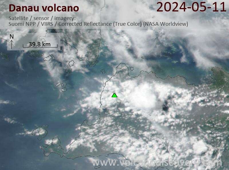
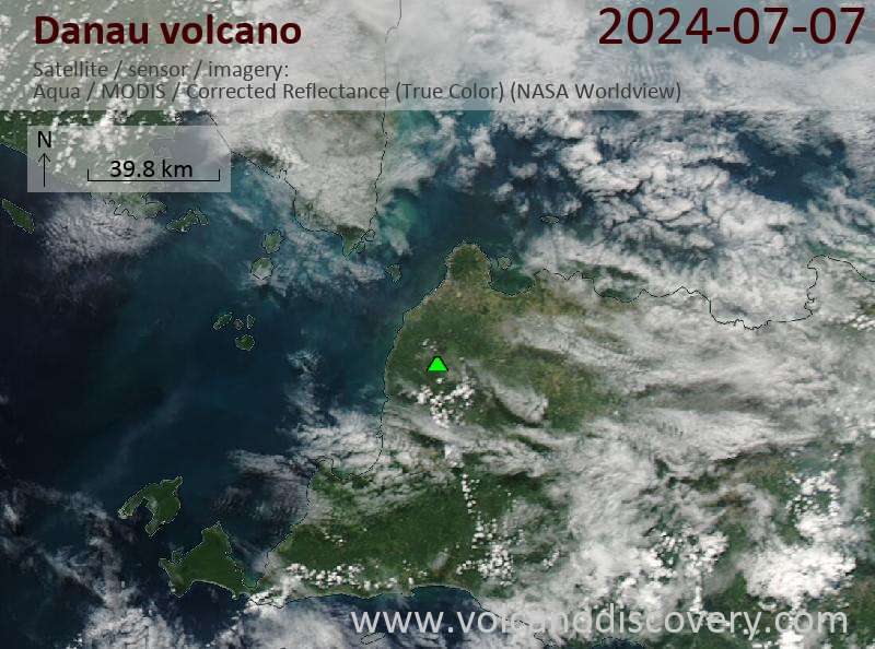
Latest satellite images