Raung Volcano
Updated: 30 avril. 2024 04:30 GMT -
Stratovolcano 3332 m (10,932 ft)
Java Est (Indonésie), -8.13°S / 114.04°E
Condition actuelle: Activité petite ou avertissement éruption imminente (3 sur 5)
Java Est (Indonésie), -8.13°S / 114.04°E
Condition actuelle: Activité petite ou avertissement éruption imminente (3 sur 5)
Last update: 20 déc. 2023 (Smithsonian / USGS Weekly Volcanic Activity Report)
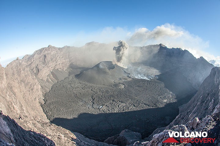
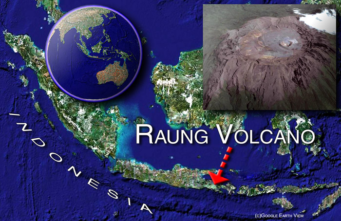
View of the immense, 2 km wide summit crater, a small caldera surrounded by steep walls 4-500 m deep.
Raung in Eastern Java in the Ijen Plateau is one of Java's most active volcanoes, with frequent explosive eruptions every few years. Raung is a massive stratovolcano constructed SW of the rim of the Ijen caldera. Its 3332-m-high, unvegetated summit of Gunung Raung is truncated by a dramatic steep-walled, 2-km-wide caldera where all of the frequent historical eruptions took place.
[smaller] [larger]
Eruptions du volcan Raung: 1586 (?), 1593 (large sub-plinian eruption), 1597, 1638, 1730, 1804+-4y, 1812-14, 1815 +-1y, 1817, 1838, 1849, 1859, 1860, 1864, 1881, 1885, 1890, 1896, 1897, 1902, 1903, 1913, 1915, 1916, 1917, 1921, 1924, 1924, 1927-28, 1928, 1929, 1933, 1936, 1937, 1938-39, 1940, 1941, 1943, 1944-45, 1953, 1955, 1956, 1971, 1973, 1974, 1975, 1976, 1977, 1978, 1982, 1985, 1987-89, 1990, 1991, 1993, 1994, 1995, 1995 (?), 1997, 1999, Jul 2000, Jun-Aug 2002, Apr-Oct 2004 (?), Jul-Aug 2005 (?), Aug 2007 (?), 2012, 2014-15, 2020-ongoing
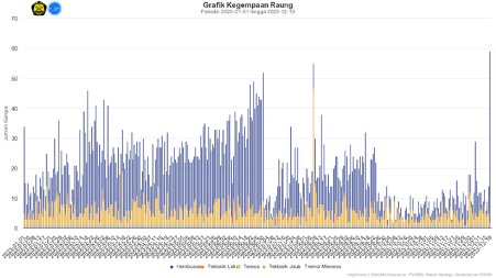
Derniers séismes proches
| Heure | Mag. / Profondeur | Distance / Lieu | |||
Introduction
A prehistoric collapse of Gunung Gadung on the west flank produced a large debris avalanche that traveled 79 km from the volcano, reaching nearly to the Indian Ocean. Raung contains several centers constructed along a NE-SW line, with Gunung Suket and Gunung Gadung stratovolcanoes being located to the NE and west, respectively.---
Source: adapted from GVP (Global Volcanism Program)
Raung Volcano Photos
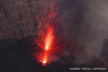
Activité strombolienne du volcan Raung (Java Est, Indonésie) 26 juillet 2015 (Photo: V. Tricou)
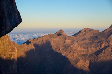
Lumière du coucher du soleil sur les parois orientales de la caldeira du volcan Raung (Java Est, Indonésie) (Photo: Tom Pfeiffer)
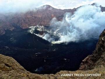
Volcan Raung (Java Est, Indonésie) le 18 juin 2016. (Photo: V. Tricou)
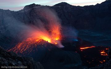
Éruption strombolienne du volcan Raung le 6 janvier 2015 (Photo: daring-trip)
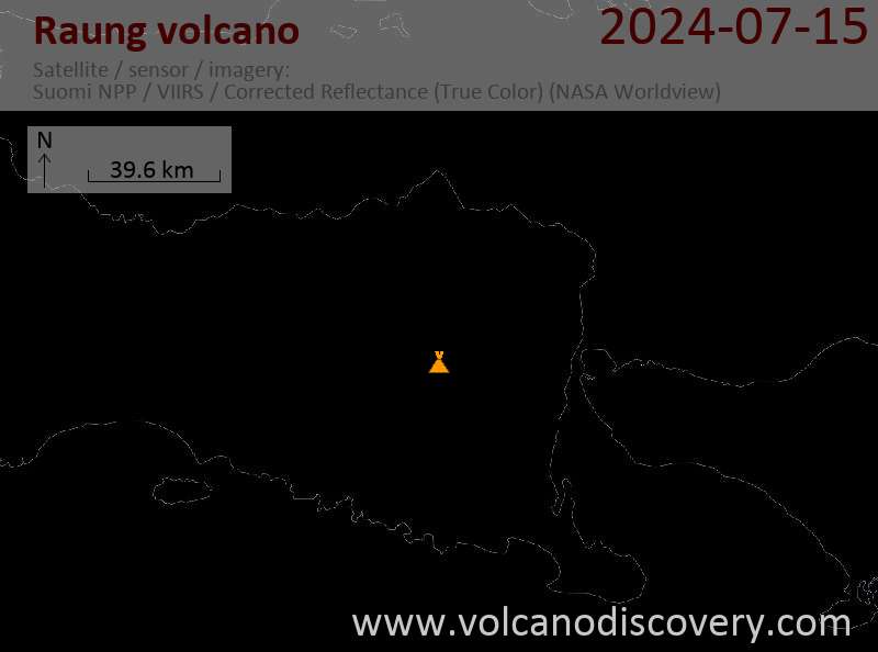
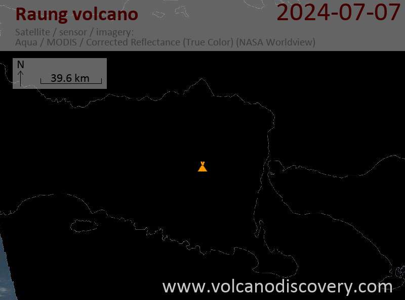
Latest satellite images